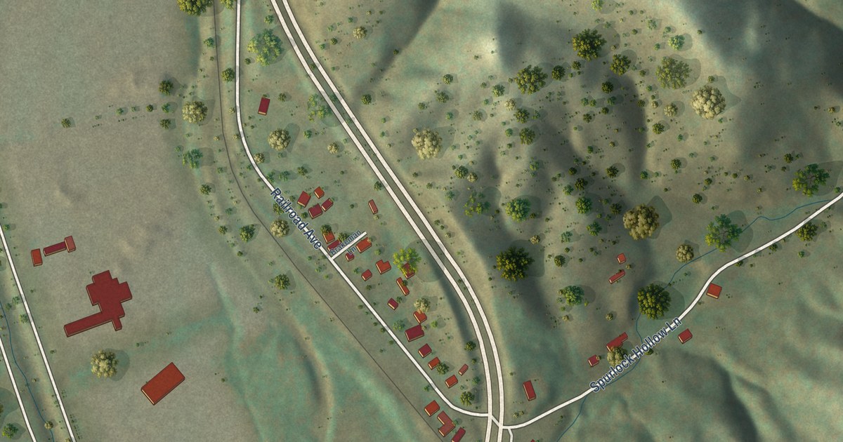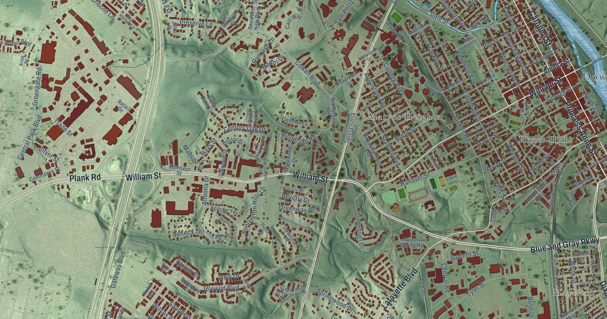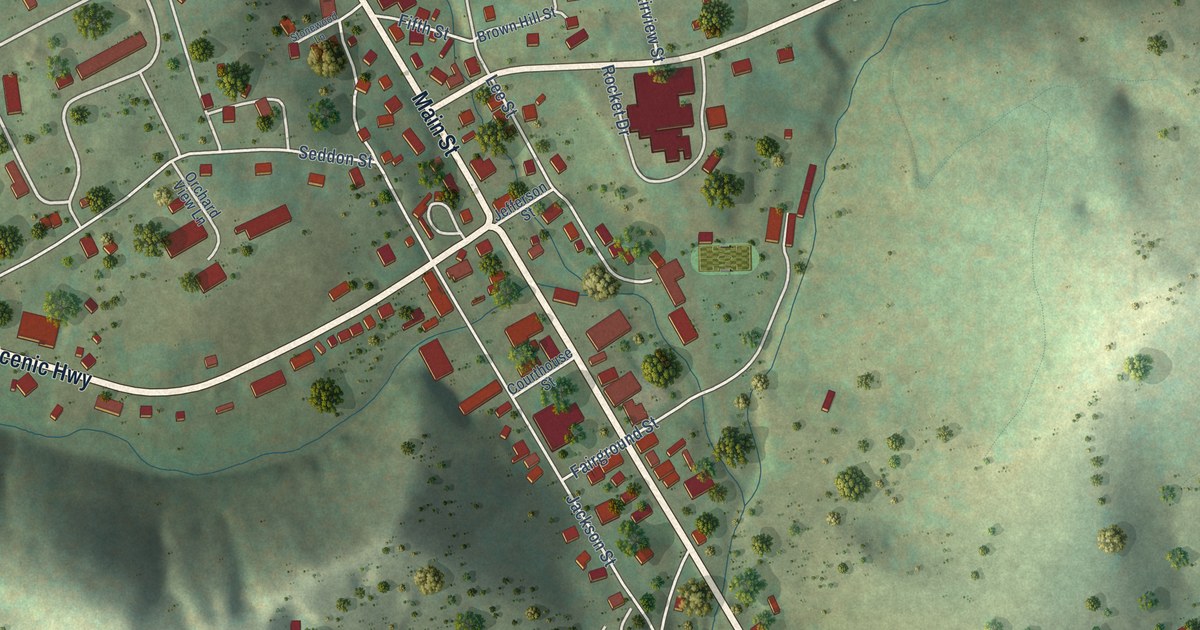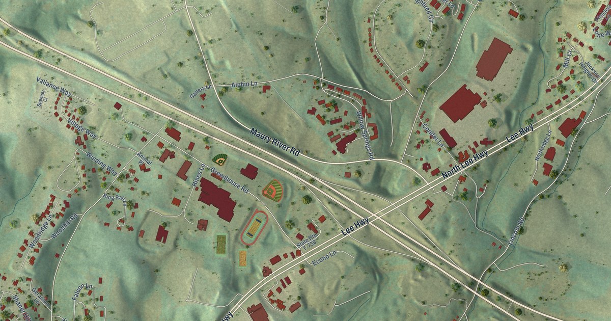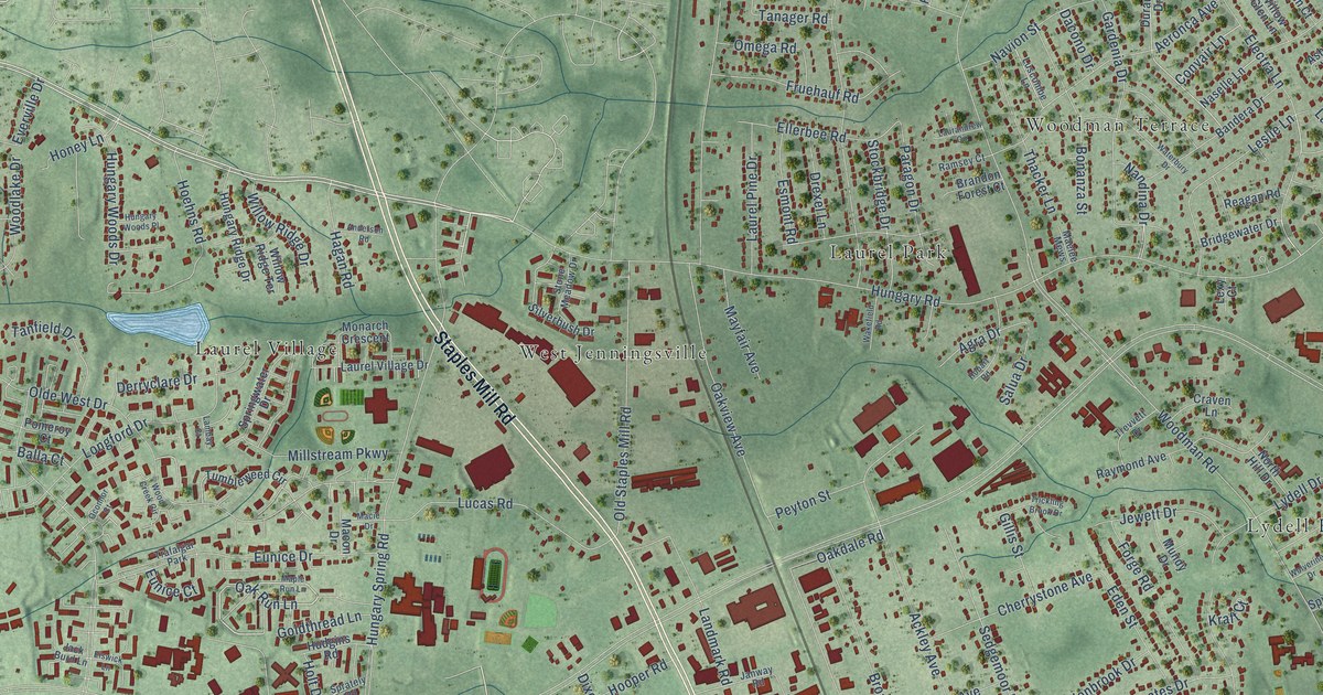
This beautifully detailed map of Laurel, Virginia was created in 2026 using aerial imagery combined with modern topographical, census, street and landmark data. It’s a one-of-a-kind view of Laurel that combines accurate data with a vintage aesthetic. The map shows every building in its true location, many of the roads carry their names, and the shaded topographic relief shows the shape of the land.
Explore an aerial view of Laurel, Virginia
On the map you’ll find Boudar, Laurel Park, Laurel Village, Lydell Heights, Northwoods, and West Jenningsville, along with Woodman Terrace, Staples Mill Road, West Broad Street, Hungary Road, Oak Run Lane, Electra Lane, and more. If you look closely you can even find your house accurately drawn in its correct location. Zoom in on the preview to look for yours.
Did you know this piece of Laurel, Virginia history?
From the Laurel Gallery: "The Laurel, Virginia community, first named Hungary Station, was the location of a spur railroad line to the coalfields in western Henrico County."
Take a closer look at the Laurel map
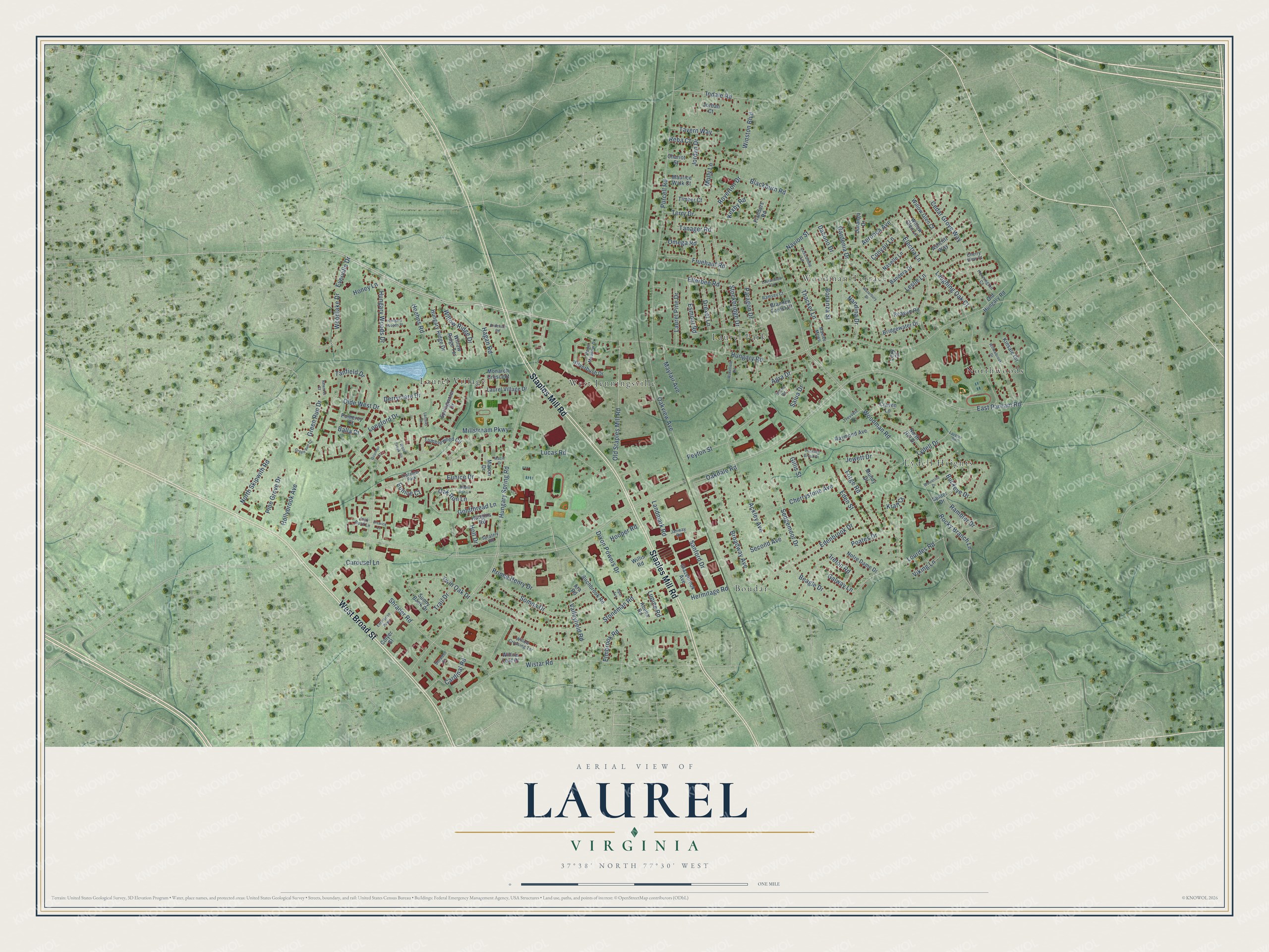
Street and place names on the Laurel, Virginia map
These names are printed on the map of Laurel, Virginia.
Places: Boudar, Laurel Park, Laurel Village, Lydell Heights, Northwoods, West Jenningsville, Woodman Terrace and Trafalgar Park.
Streets and roads: Staples Mill Road, West Broad Street, Hungary Road, Oak Run Lane, Electra Lane, East Parham Road, Woodman Road, Hungary Spring Road, Shrader Road, Lydell Drive, Wistar Road, Purcell Road.
More street names, A to Z
Abelia Road, Ackley Avenue, Aeronca Avenue, Agra Drive, Anderson Road, Ara Road, Ashcliff Way, Balla Court, Bandera Drive, Beagle Drive, Birchbrook Road, Blackburn Road, Bonanza Street, Brandon Forest Court, Bridgewater Drive, Broadway Avenue, Buckeye Drive, Cardinal Road, Carousel Lane, Cedar Grove Way, Chariot Street, Cherrystone Avenue, Cherry View Court, Colyer Street, Convair Lane, Craven Lane, Dacono Drive, Derryclare Drive, Dixon Powers Drive, Drexel Lane, Durango Drive, Edenbrook Drive, Eden Street, Ellerbee Road, Elmbrook Road, Elswick Lane, Enterprise Parkway, Esmont Road, Eunice Court, Eunice Drive, Everville Drive, Flanders Road, Forge Road, Fruehauf Road, Galway Lane, Gardenia Drive, Gillis Street, Glazebrook Avenue, Goldthread Lane, Green Run Court, Green Run Drive, Hagan Road, Hennington Court, Hermitage Road, Hobart Road, Hoehns Road, Hollybrook Avenue, Holt Drive, Honey Lane, Hooper Road, Hudgins Road, Hungary Ridge Drive, Hungary Woods Drive, Hungary Woods Place, Indale Road, Ireton Road, Jack Burd Lane, Janway Road, Jewett Drive, Jordan Court, Jordan Drive, Kexby Road, Kinsale Circle, Kraft Court, Lambay Court, Landmark Road, Laughing Oak Court, Laurandrew Circle, Laurel Pine Drive, Laurel Village Drive, Laverne Road, Leslie Lane, Lexy Court, Longford Drive, Lourdes Road, Lucas Road, Lupine Road, Luscombe Lane, Macie Drive, Macon Drive, Maelee Mews, Maple Run Lane, Maurice Walk Court, Mayfair Avenue, Millstream Parkway, Molly Lane, Monarch Crescent, Mundy Drive, Nandina Drive, Naselle Lane, Navion Street, Newross Court, North Hill Drive, North Skipwith Road, Notre Dame Drive, Oakdale Road, Oakview Avenue, Oconnor Court, Olde West Drive, Old Hungary Road, Old Staples Mill Road, Omega Road, Opal Avenue, Paragon Drive, Peyton Street, Pine Grove Drive, Poates Drive, Pomeroy Court, Prince Henry Drive, Rambler Drive, Ramsey Court, Raymond Avenue, Reagan Road, Reba Court, Rocky Branch Lane, Royerton Drive, Salua Drive, Sanford Drive, Second Avenue, Sedgemoor Drive, Shrader Court, Silverbush Drive, Somoa Drive, Spider Drive, Sprately Road, Springwater Drive, Stockbridge Drive, Stoneman Road, Stone Meadow Drive, Sunny Bank Drive, Tanager Road, Tanfield Drive, Tavern Way, Terry Drive, Thacker Lane, Timber Court, Trail Drive, Trevvett Drive, Trickling Brook Drive, Tumbleweed Circle, Twin Oak Drive, Valleyfield Road, Viking Lane, Wakefield Road, Waterbury Drive, Willis Road, Willowbrook Drive, Willow Crossing Terrace, Willow Glen Court, Willow Glen Lane, Willow Leaf Place, Willow Ridge Drive, Willow Ridge Terrace, Winston Boulevard, Wolverine Drive, Wood Creek Circle, Woodlake Drive.
See the Laurel, Virginia map on a wall
The Laurel map as an 18 x 24 inch print in a black frame.

This beautifully detailed map of Laurel makes an attractive addition to your office, library, or den, and it can even be used to teach children the geography and history of the area. It also makes a great gift for anyone with Laurel roots. When you’re done exploring, click here to get your copy of the Laurel map.