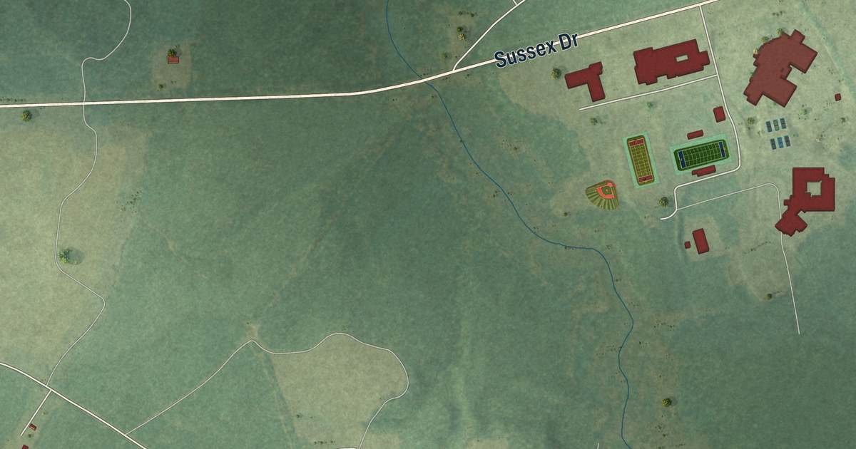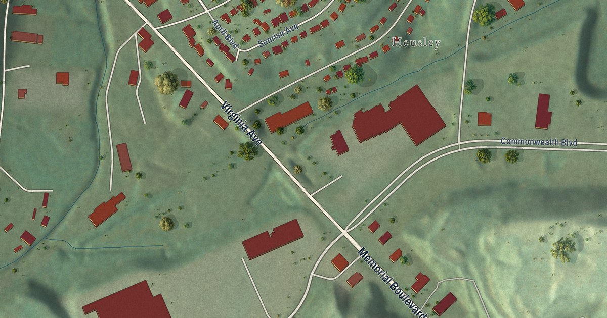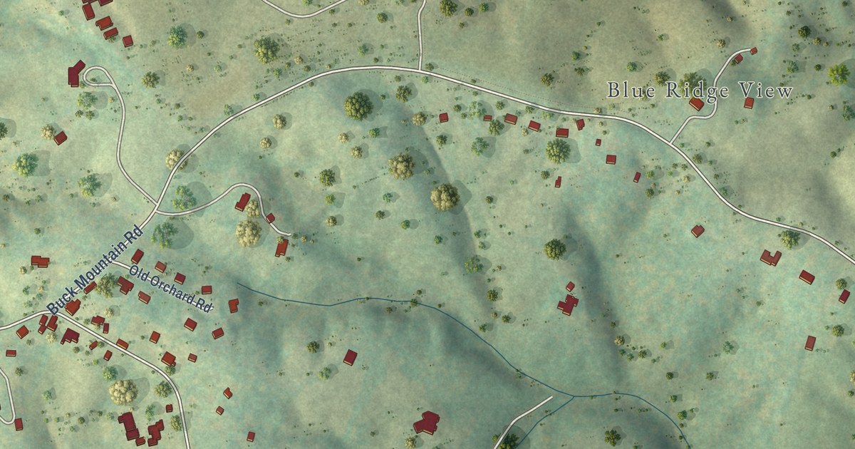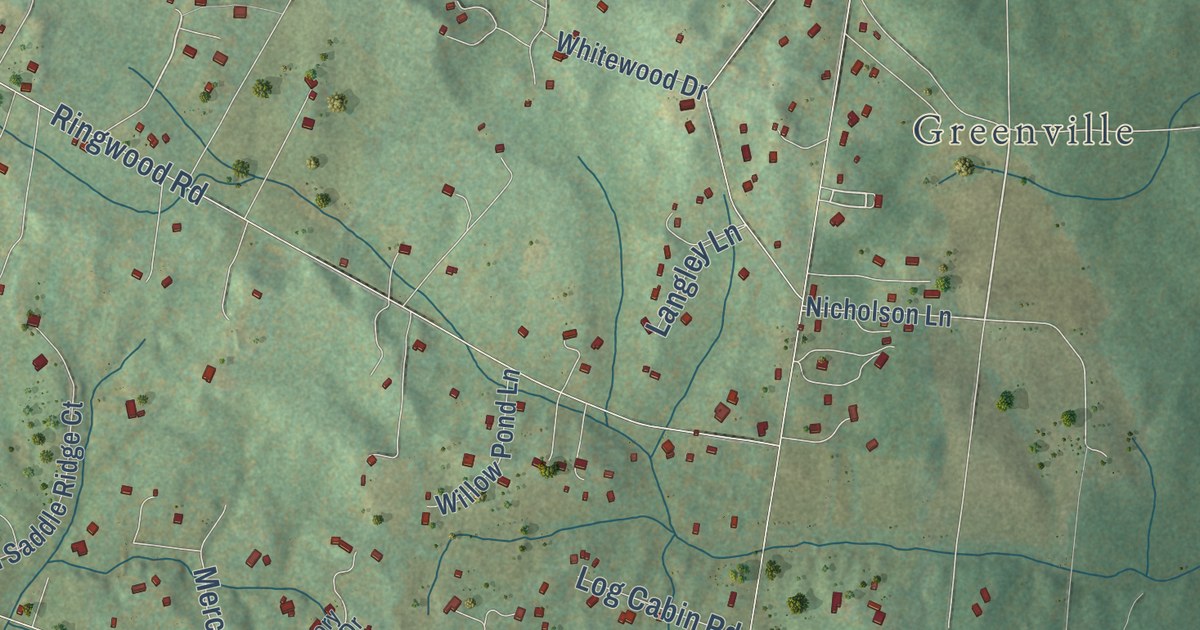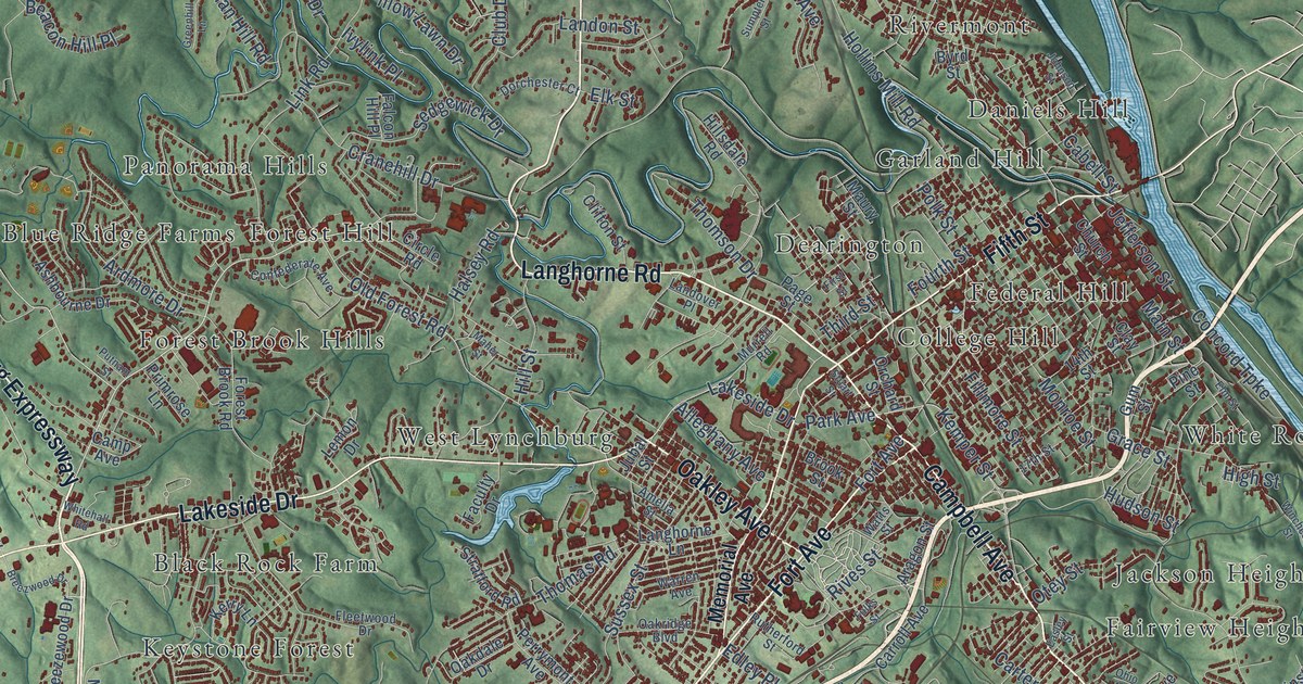
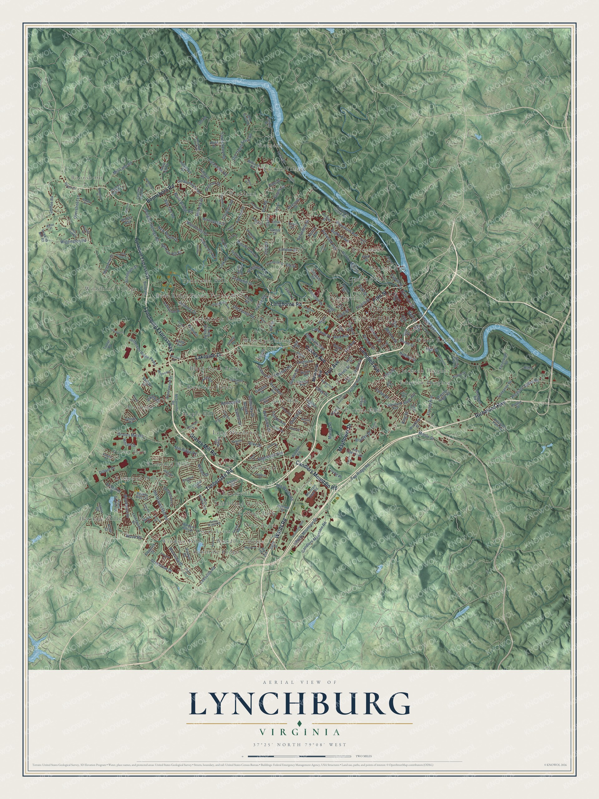
This beautifully detailed map of Lynchburg, Virginia was created in 2026 using aerial imagery combined with modern topographical, census, street and landmark data. It’s a one-of-a-kind view of Lynchburg that combines accurate data with a vintage aesthetic. The map shows every building in its true location, many of the roads carry their names, and the shaded topographic relief shows the shape of the land.
Explore an aerial view of Lynchburg, Virginia
On the map you’ll find Black Rock Farm, Blue Ridge Farms, Boonsboro, Brookville, College Hill, College Park, Daniels Hill, Dearington, Doral Acres, Fairview Heights, Federal Hill, Forest Brook Hills, and more. If you look closely you can even find your house accurately drawn in its correct location. Zoom in on the preview to look for yours.
Did you know this piece of Lynchburg, Virginia history?
From Vcris.dhr.virginia.gov: "In 1786 Lynchburg was established by act of assembly; in 1791 the first tobacco warehouse was built."
Take a closer look at the Lynchburg map
Street and place names on the Lynchburg, Virginia map
These names are printed on the map of Lynchburg, Virginia.
Places: Black Rock Farm, Blue Ridge Farms, Boonsboro, Brookville, College Hill, College Park, Daniels Hill, Dearington, Doral Acres, Fairview Heights, Federal Hill, Forest Brook Hills, Forest Dale, Forest Hill, Fort Hill, Garland Hill, Heritage Hills, Jackson Heights, Kenwood Hills, Keystone Forest, Lavino Village, Long Meadows, Maple Hill, Mayfield, Panorama Hills, Peakland, Perkins Park, Reusens, Richland Hills, Rivermont, Seminole Ridge, Sheffield, Southland Acres, Vista Acres, West Lynchburg, White Rock Hill, Windsor Hills, Woodbine Acres and Woodbine Village.
Streets and roads: Lynchburg Expressway, Campbell Avenue, Timberlake Road, Boonsboro Road, Fort Avenue, Wards Road, Langhorne Road, Candlers Mountain Road, Oakley Avenue, Lakeside Drive, Richmond Highway, Fifth Street.
More street names, A to Z
14th Street, 17th Street, Acres Court, Adams Drive, Alabama Avenue, Albert Lankford Drive, Alclif Drive, Alleghany Avenue, Alydar Place, Amelia Street, Aragon Street, Ardmore Drive, Ashbourne Drive, Avalon Street, Beacon Hill Place, Bedford Avenue, Bella Court, Belvedere Street, Beverly Hills Circle, Bon Ton Road, Boonsboro Drive, Bradley Drive, Breezewood Drive, Breezwood Drive, Brook Street, Burnham Lane, Burnt Bridge Road, Byrd Street, Cabell Street, Camp Avenue, Capstone Drive, Carroll Avenue, Carters Grove Lane, Carter Street, Chikasaw Road, Church Street, Circle Road, Clay Street, Clayton Avenue, Clifton Street, Clover Place, Club Drive, Coffee Road, Cohen Place, Concord Turnpike, Confederate Avenue, Country Club Drive, Cranehill Drive, Custer Drive, Delta Street, Dillard Drive, Dorchester Court, Dublin Street, Early Street, Easley Street, Edgewood Avenue, Edinboro Avenue, Edley Place, Elk Street, Elm Street, Elmwood Avenue, Enterprise Drive, Faculty Drive, Falcon Hill Place, Farley Branch Drive, Fenwick Drive, Fieldale Road, Fillmore Street, First Street, Fleetwood Drive, Florida Avenue, Forest Brook Road, Fourth Street, Frederick Drive, Fulks Street, Gates Street, Gorman Drive, Grace Street, Grand Summit Drive, Graves Drive, Graves Mill Road, Greenhill Lane, Greenview Drive, Grove Road, Gum Street, Halsey Road, Harbor Street, Harris Lane, Harvard Street, Hawkins Mill Road, High Street, Hillsdale Road, Hill Street, Hillview Drive, Holcomb Path Road, Hollins Mill Road, Hudson Street, Hydro Street, Igloe Drive, Indian Hill Road, Inglewood Road, Irvington Springs Road, Ivy Drive, Ivylink Place, Jefferson Ridge Parkway, Jefferson Street, John Capron Road, John Scott Drive, Johnson Road, Johnson Street, Jubal Street, Kavanaugh Road, Kemper Street, Kerry Lane, King Street, Krise Circle, Lady Slipper Lane, Landon Street, Landover Place, Langhorne Lane, Laxton Road, Lee Circle, Leesville Road, Lemon Drive, Liberty Mountain Drive, Liggates Road, Linden Avenue, Link Road, Linsay Street, Lockewood Drive, Locksview Road, Lynchpin Lane, Maher Street, Main Street, Marguerite Drive, Martin Street, Marvin Place, Maryland Avenue, Maury Street, Mayflower Drive, McConville Road, Melinda Drive, Memorial Avenue, Meriwether Road, Middle Street, Mill Lane Road, Millrace Drive, Mill Ridge Road, Mimosa Drive, Misty Mountain Road, Mohawk Drive, Monroe Street, Moreview Drive, Morey Place, Morningside Drive, Mountain Laurel Drive, Mountain View Road, Murray Place, Murrell Road, Nationwide Drive, Nelson Drive, New Britain Drive, Norfolk Avenue, Northwest Expressway, Oakdale Drive, Oak Lane, Oakridge Boulevard, Ohio Avenue, Old Boonsboro Road, Old Forest Road, Old Graves Mill Road, Old Mill Road, Old Road, Old Trents Ferry Road, Old Wards Road, Omega Drive, Orchard Street, Otey Street, Overstreet Lane, Oxford Street, Page Street, Park Avenue, Parkland Drive, Parkview Drive, Pawnee Drive, Peakland Place, Perrymont Avenue, Phillips Circle, Pine Drive, Pine Street, Pleasant Valley Road, Polk Street, Poston Street, Preserve Drive, Primrose Lane, Prince Street, Putnam Street, Quarry Road, Quinlan Street, Radcliff Avenue, Raiford Circle, Reusens Road, Rfd 1, Rhonda Road, Richland Drive, Ridge Avenue, Rivermont Avenue, Riverside Drive, Rives Street, Rockwell Road, Royal Oak Drive, Rutherford Street, Sandusky Drive, Sanhill Drive, Schothum Street, Sedgewick Drive, Selene Street, Smoketree Lane, Spottswood Place, Stratford Road, Stuart Street, Sumpter Street, Sunset Drive, Surrey Place, Sussex Street, Taylor Road, Texas Avenue, Third Street, Thomas Road, Thomson Drive, Timbrook Place, Toledo Avenue, Top Ridge Road, Treasure Island Road, Trents Ferry Road, Trinity Court, Turner Road, Two Creek Drive, Tyreeanna Road, University Boulevard, Vassar Street, Ves Road, Viking Drive, Wards Ferry Road, Warren Avenue, Waterton Drive, Watts Street, Wayne Drive, Westview Drive, Whitehall Road, Whitley Way, Wiggington Road, Williams Road, Willow Lawn Drive, Winchester Street, Windsor Hills Drive, Windsor Road, Winston Ridge Road, Winston Ridge Street, Woodall Road, Woodcrest Drive, Wood Road, Woodrow Street, Woodside Avenue, Wyndhurst Drive, Young Place.
See the Lynchburg, Virginia map on a wall
The Lynchburg map as an 18 x 24 inch print in a black frame.

This beautifully detailed map of Lynchburg makes an attractive addition to your office, library, or den, and it can even be used to teach children the geography and history of the area. It also makes a great gift for anyone with Lynchburg roots. When you’re done exploring, click here to get your copy of the Lynchburg map.