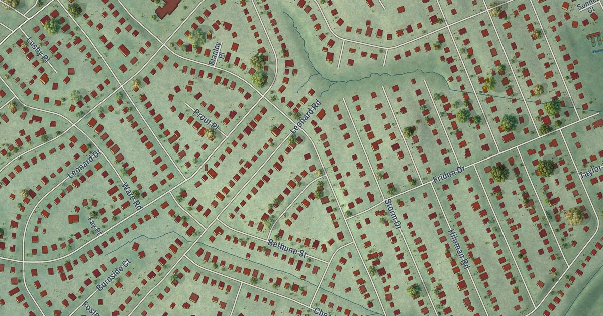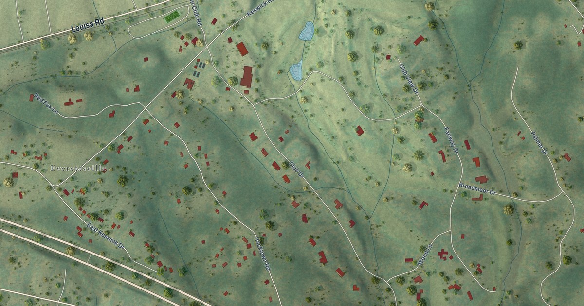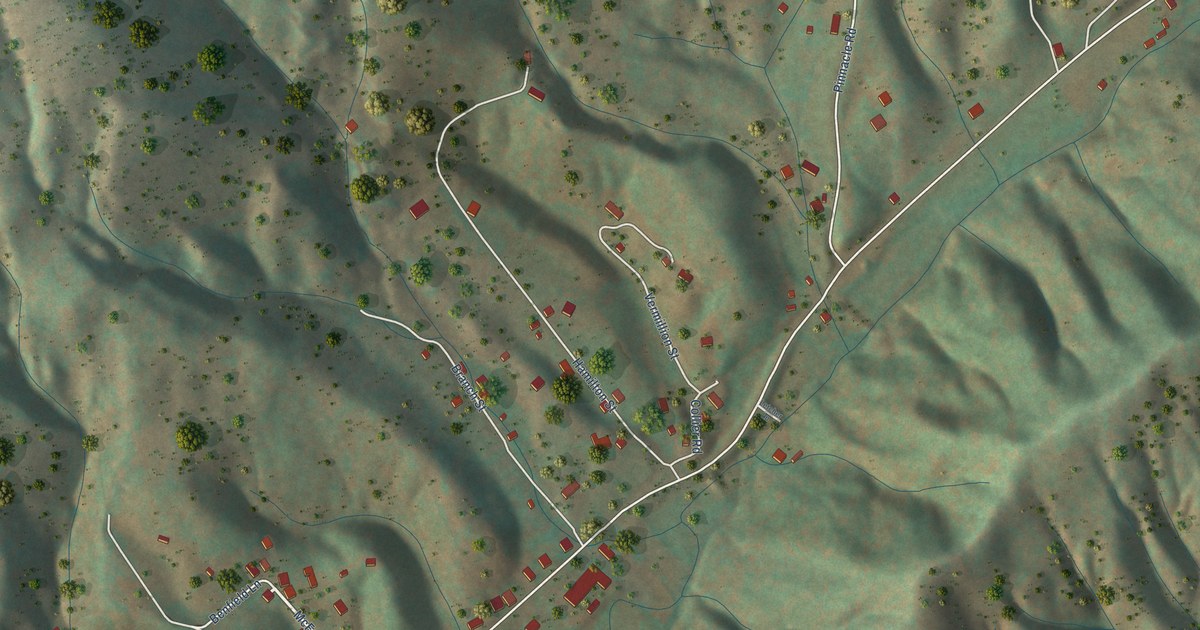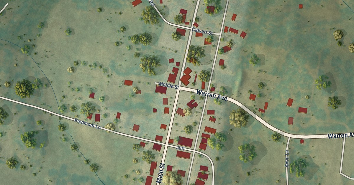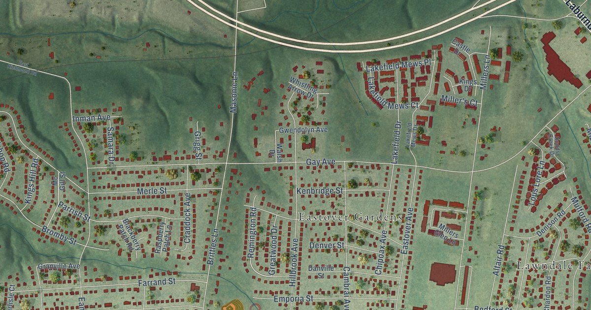
This beautifully detailed map of Montrose, Virginia was created in 2026 using aerial imagery combined with modern topographical, census, street and landmark data. It’s a one-of-a-kind view of Montrose that combines accurate data with a vintage aesthetic. The map shows every building in its true location, many of the roads carry their names, and the shaded topographic relief shows the shape of the land.
Explore an aerial view of Montrose, Virginia
On the map you’ll find East End Cemetery, Eastover Gardens, Gilbert Gardens, and Lawndale Farms, along with Williamsburg Road, South Laburnum Avenue, Charles City Road, Edgelawn Street, Edgelawn Circle, Remington Road, Henrico Arms Street, Brittles Lane, and more. If you look closely you can even find your house accurately drawn in its correct location. Zoom in on the preview to look for yours.
Did you know this about Montrose, Virginia?
From Vcris.dhr.virginia.gov: "Joseph Endom Jones and Rosa Kinckle Jones, prominent educators in post-Emancipation Richmond, are buried here."
Take a closer look at the Montrose map
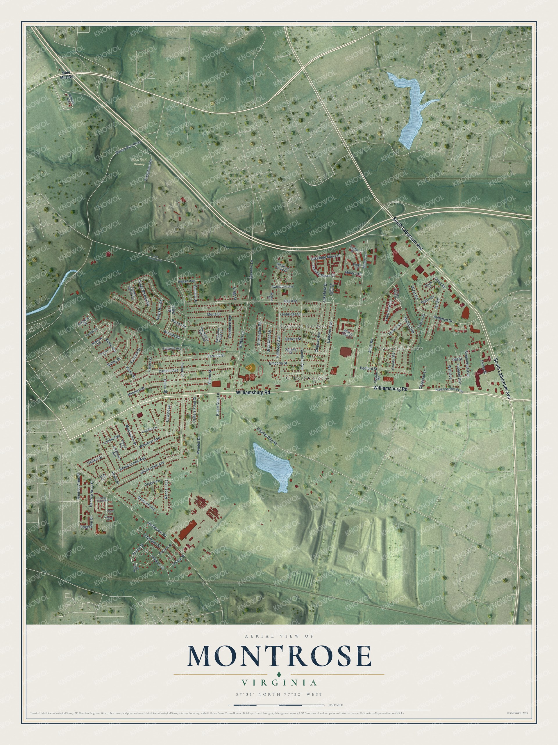
Street and place names on the Montrose, Virginia map
These names are printed on the map of Montrose, Virginia.
Places: East End Cemetery, Eastover Gardens, Gilbert Gardens and Lawndale Farms.
Streets and roads: Williamsburg Road, South Laburnum Avenue, Charles City Road, Edgelawn Street, Edgelawn Circle, Remington Road, Henrico Arms Street, Brittles Lane, Gay Avenue, Eanes Lane, Darbytown Road, Millers Lane.
More street names, A to Z
Accomac Street, Action Street, Acton Street, Altair Road, Amherst Street, Art Avenue, Aspen Shades Parkway, Audubon Drive, Azrock Court, Bailey Drive, Bedford Street, Blackberry Patch Road, Brandonview Avenue, Bromby Street, Buckner Street, Butler Street, Cambrai Avenue, Carlisle Avenue, Carlisle Court, Carters Pond Court, Castle Drive, Cavedo Lane, Chapman Lane, Chardon Road, Chipoax Avenue, Clayton Road, Craddock Avenue, Crown Squire Road, Danville Street, Denison Road, Denver Street, Dodds Creek Drive, Eastover Avenue, East Richmond Road, Emporia Street, Evergreen Road, Farrand Drive, Farrand Street, Fenton Street, Finlay Street, Futura Avenue, Geffert Drive, Granville Avenue, Greatwood Drive, Grigg Street, Gwendolyn Avenue, Henrico Arms Place, Hillbrook Avenue, Inman Avenue, Jan Road, Kemp Avenue, Kemp Street, Kenbridge Street, Kings Bishop Road, Kings Drive, Kings Hill Road, Lakefield Drive, Lakefield Mews Court, Lakefield Mews Drive, Lakefield Mews Place, Leonard Avenue, Lockhaven Avenue, Louisa Street, Lous Lore Lane, Ludlow Road, Lundie Avenue, Lundie Lane, Masonic Lane, Mc Gill Street, Merle Street, Milburn Avenue, Miller's Court, Millers Glen Lane, Mizar Road, Moncure Avenue, Montpelier Street, Mulford Road, National Street, Newman Road, Nine Mile Road, Ohl Street, Oregon Avenue, Orion Court, Orion Road, Parrish Street, Pegasi Road, Randall Avenue, Raspberry Patch Lane, Rawlings Street, Reilly Street, Robin Grey Lane, Samara Drive, Shirleydale Avenue, Shurm Street, Stoney Run Parkway, Summerest Avenue, Thalia Crescent, Virden Court, Wall Avenue, Walsh Drive, Wendell Drive, Westover Avenue, Whistling Arrow Drive.
See the Montrose, Virginia map on a wall
The Montrose map as an 18 x 24 inch print in a black frame.

This beautifully detailed map of Montrose makes an attractive addition to your office, library, or den, and it can even be used to teach children the geography and history of the area. It also makes a great gift for anyone who grew up in Montrose or moved away. When you’re done exploring, click here to get your copy of the Montrose map.