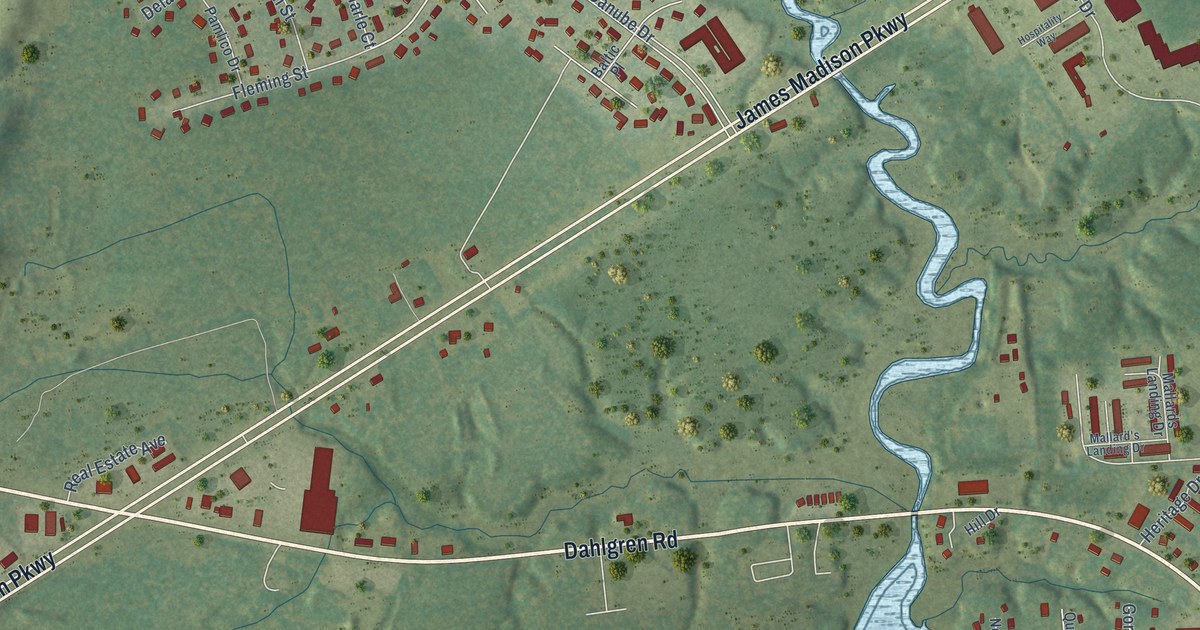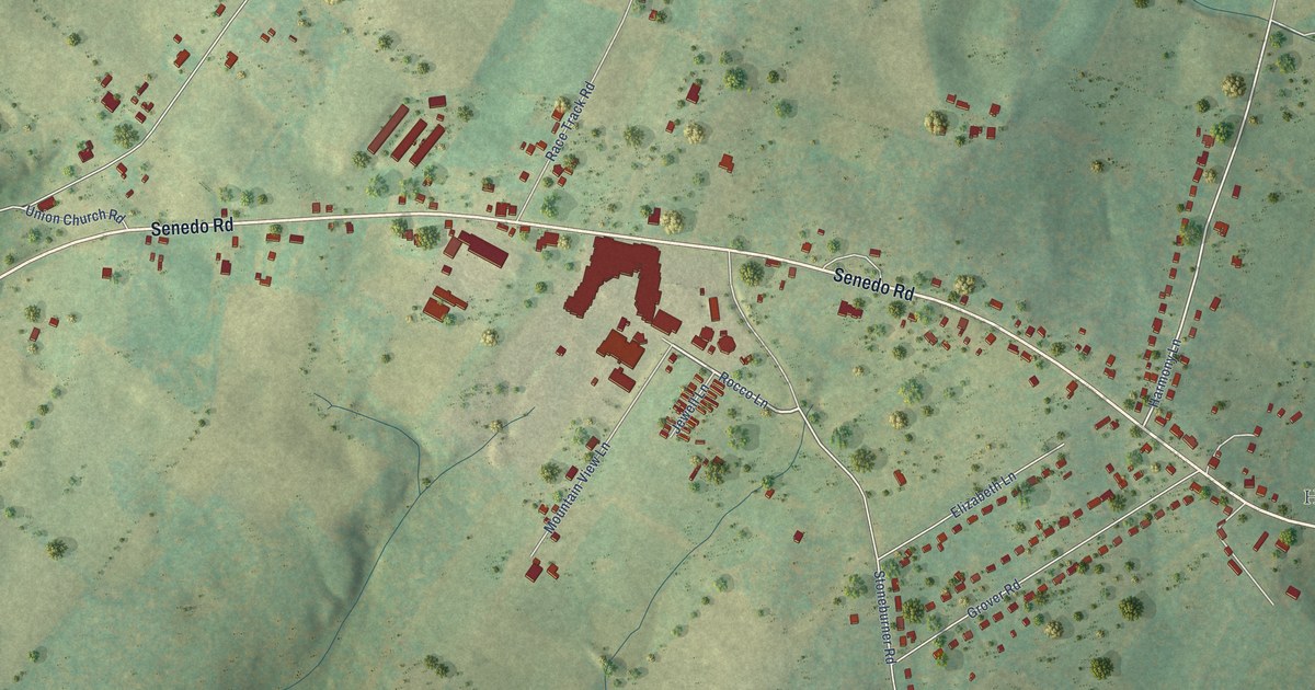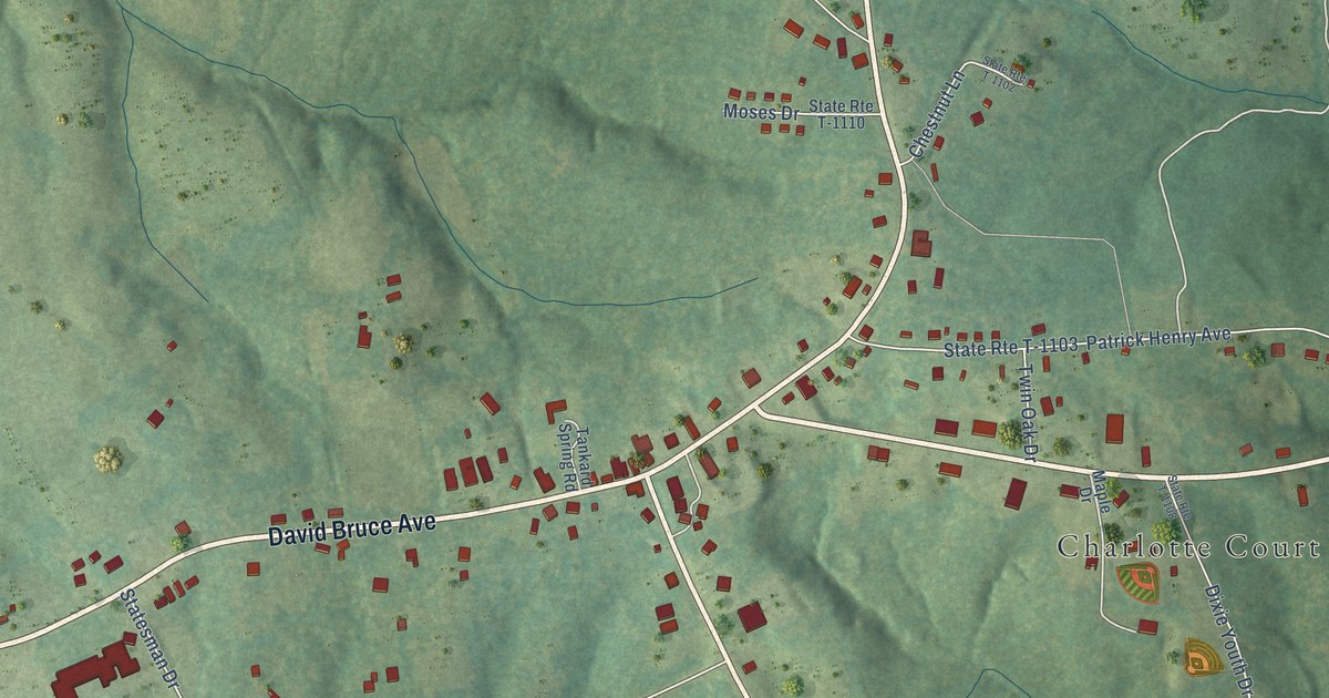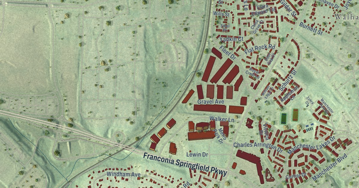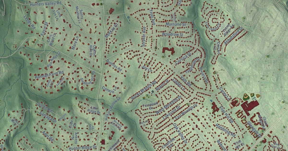
This beautifully detailed map of Oakton, Virginia was created in 2026 using aerial imagery combined with modern topographical, census, street and landmark data. It’s a one-of-a-kind view of Oakton that combines accurate data with a vintage aesthetic. The map shows every building in its true location, many of the roads carry their names, and the shaded topographic relief shows the shape of the land.
Explore an aerial view of Oakton, Virginia
On the map you’ll find Fairlee, Oakmont Park, Fairfax Acres, and Waples Mill, along with Nutley Street Southwest, Lee Highway, Chain Bridge Road, Blake Lane, Courthouse Road, Saintsbury Drive, Hunter Mill Road, Vale Road, and more. If you look closely you can even find your house accurately drawn in its correct location. Zoom in on the preview to look for yours.
Did you know this piece of Oakton, Virginia history?
From Vcris.dhr.virginia.gov: "Gabrielson was a founder and the first chairman of the Northern Virginia Regional Park Authority and first president of World Wildlife Fund-US."
Take a closer look at the Oakton map
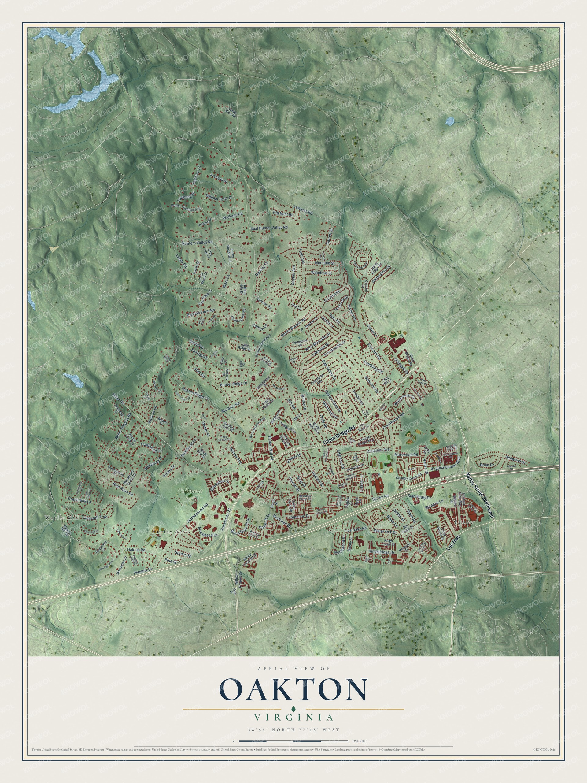
Street and place names on the Oakton, Virginia map
These names are printed on the map of Oakton, Virginia.
Places: Fairlee, Oakmont Park, Fairfax Acres and Waples Mill.
Streets and roads: Nutley Street Southwest, Lee Highway, Chain Bridge Road, Blake Lane, Courthouse Road, Saintsbury Drive, Hunter Mill Road, Vale Road, Lawyers Road, Jermantown Road, Miller Road, Miller Heights Road.
More street names, A to Z
Abbotsford Drive, Adel Road, Ankeny Street, Ariana Drive, Arrowhead Drive, Aryness Drive, Babcock Road, Beekay Court, Bel Glade Street, Bickley Court, Bleeker Street, Blue Roan Road, Borge Street, Brian Drive, Brightlea Drive, Bryant Place, Bushman Drive, Carey Lane, Cashel Lane, Centerboro Drive, Chariton Street, Cheriton Court, Chilcott Court, Chris Wood Court, Circle Woods Drive, Clearfield Avenue, Clide Court, Cody Road, Concert Court, Conejo Lane, Conestoga Court, Corsica Street, Country Creek Road, Cranbrook Lane, Cyrandall Valley Road, Darnley Place, Dellwood Drive, Devenish Drive, Dorian Drive, Draper Drive, Dunfries Road, Easie Street, East Hunter Valley Road, East Meredith Drive, Edgelea Road, Elmendorf Drive, Emerald Rock Drive, Fariba Court, Fernwood Drive, Five Oaks Road, Flagpole Lane, Flint Hill Court, Flint Hill Road, Fox Rest Lane, Garrett Street, Geneva Hill Court, Gerken Avenue, Glade Vale Way, Glencroft Road, Glengyle Drive, Gray Street, Greenwood Place, Halcyon Lane, Hannah Farm Road, Heathland Drive, Hibbard Street, Hickory Forest Drive, Hickory Hollow Lane, Hill Road, Hunter Ridge Drive, Hunters Branch Road, Hunters Glen Way, Hunters Valley Road, Hunter View Road, Hunting Hills Place, Ivy Lane, James Street, Joy Lane, Kelly Square, Kilkeel Court, Kingsbridge Drive, Kings Crown Court, Lake Ridge Drive, Lakevale Drive, Lance Lane, Lasswade Lane, Laurel Ridge Road, Leeds Road, Lena Court, Lewis Knolls Drive, Lindel Lane, Little Fox Lane, Loch Lomond Drive, Logway Road, Marbury Road, Mare Lane, Marseilles Drive, Martinhoe Drive, Marywood Road, Melanie Court, Melanie Lane, Mill Cross Court, Mission Square Drive, Motley Lane, Murnane Street, Mystic Meadow Way, Newton Street, Nonquitt Drive, Northwood Road, Oakdale Woods Court, Oakleigh Lane, Oak Place, Oakton Glen Drive, Oakton Hills Drive, Oakton Manor Court, Oakton Mill Drive, Oakton Plantation Lane, Oakton Ridge Circle, Oakton Ridge Court, Oakton Road, Oakton Terrace Road, Oak Valley Drive, Oakwood Chase Court, Old Hunt Road, Oleander Avenue, Palace Green Way, Palmer Drive, Palmer Street, Pembsly Drive, Phoenix Drive, Pine Knot Drive, Pine Street, Pipe Stem Lane, Platten Drive, Plum Tree Court, Powdermill Lane, Rambling Road, Ranger Road, Regency Crest Drive, Riviera Drive, Rocky Branch Road, Rose Creek Court, Rosehaven Street, Saddlestone Court, Saint Augustine Lane, Samaga Drive, Savoy Drive, Sawdust Road, Sayre Road, Sledding Hill Road, South Erin Drive, Sprague Lane, Spruce Street, Stryker Avenue, Sugar Lane, Sunlit Road, Sunny Meadow Lane, Sutton Road, Sweetmeadow Drive, Tanglevale Drive, Tattersall Trail, Thaxton Lane, Tradewind Drive, Trevor House Drive, Trott Avenue, Vaden Drive, Valentino Drive, Vale Ridge Court, Vickers Drive, Virginia Center Boulevard, Virginia Oaks Drive, Walter Thompson Drive, Waples Mill Road, Water Oak Drive, Weber Place, Welbourne Court, Westhurst Lane, West Meredith Drive, Wheatland Farms Drive, Whitecedar Court, White Granite Drive, Wickens Road, William Terry Drive, Willow Creek Lane, Willow Crescent Drive, Willow Cresent Drive, Willow Drive, Wilson Avenue, Windsong Drive, Woodrow Street, Yeonas Drive.
See the Oakton, Virginia map on a wall
The Oakton map as an 18 x 24 inch print in a black frame.

This beautifully detailed map of Oakton makes an attractive addition to your office, library, or den, and it can even be used to teach children the geography and history of the area. It also makes a great gift for anyone who grew up in Oakton or moved away. When you’re done exploring, click here to get your copy of the Oakton map.