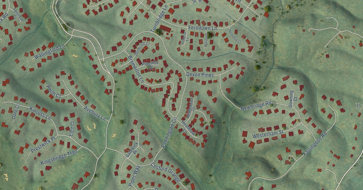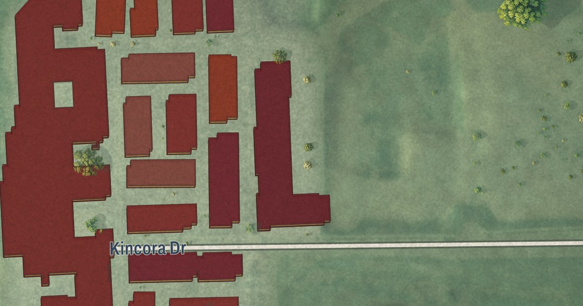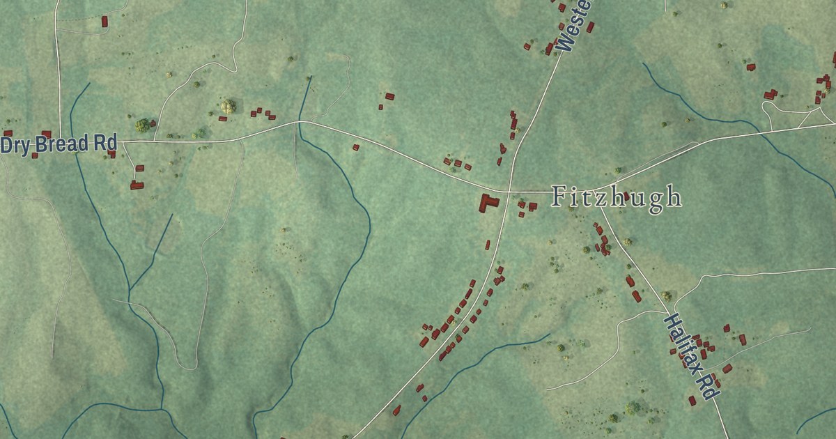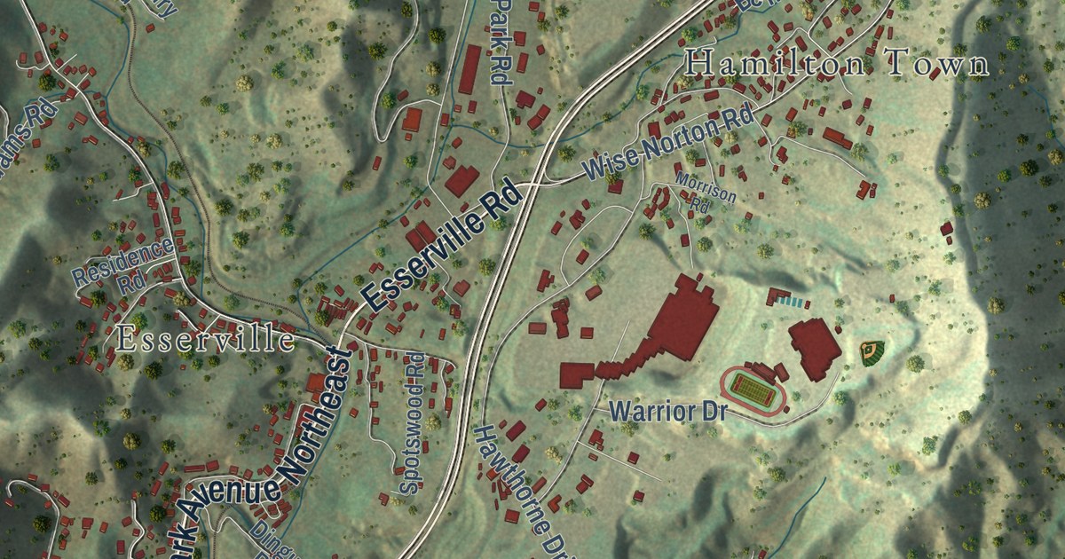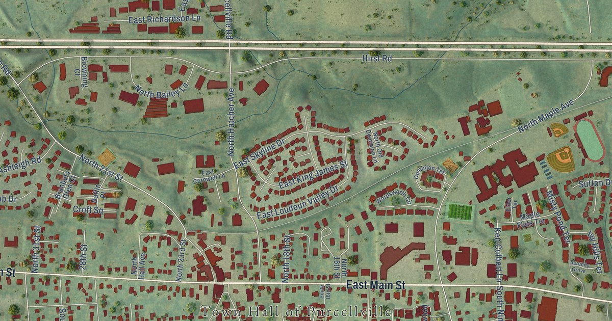
This beautifully detailed map of Purcellville, Virginia was created in 2026 using aerial imagery combined with modern topographical, census, street and landmark data. It’s a one-of-a-kind view of Purcellville that combines accurate data with a vintage aesthetic. The map shows every building in its true location, many of the roads carry their names, and the shaded topographic relief shows the shape of the land.
Explore an aerial view of Purcellville, Virginia
On the map you’ll find Town Hall of Purcellville, Crooked Run Orchard, and Notley Place, along with East Main Street, West Main Street, Berlin Pike, Pipers Brook Drive, Devonshire Circle, Wooden Bridge Drive, South Maple Avenue, Canterbury Circle, Hillsboro Road, and more. If you look closely you can even find your house accurately drawn in its correct location. Zoom in on the preview to look for yours.
Did you know this piece of Purcellville, Virginia history?
From Vcris.dhr.virginia.gov: "More than 1,000 people attended the annual Emancipation Day activities held here until 1967."
Take a closer look at the Purcellville map
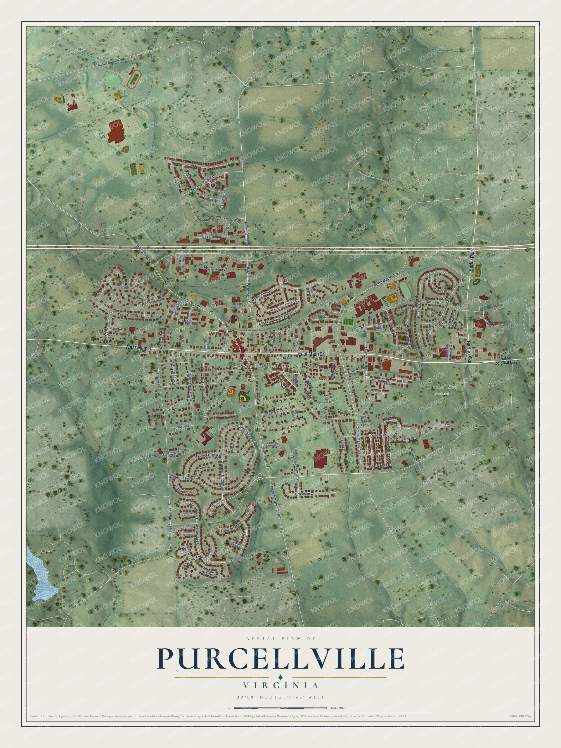
Street and place names on the Purcellville, Virginia map
These names are printed on the map of Purcellville, Virginia.
Places: Town Hall of Purcellville and Crooked Run Orchard.
Streets and roads: East Main Street, West Main Street, Berlin Pike, Pipers Brook Drive, Notley Place, Devonshire Circle, Wooden Bridge Drive, South Maple Avenue, Canterbury Circle, Hillsboro Road, Hirst Road, North 21st Street.
More street names, A to Z
28th Street, 32nd Street, Aldershot Place, Allder School Road, Amalfi Court, Apsley Terrace, Ashleigh Road, Autumn Chase Court, Baffin Place, Bill Brower Court, Branbury Glen Court, Browning Court, Candleridge Court, Cecilia Lane, Covenant Court, Croft Square, Crosman Court, Davis Drive, Derwent Alley, Desales Drive, Dominion Terrace, Drawbridge Way, East Cornwell Lane, East East Street, Eastgate Drive, East King James Street, East Loudoun Valley Drive, East Nichlos Lane, East Richardson Lane, East Skyline Drive, East Stephens Drive, East Willie Palmer Way, Elder Terrace, Elliot Drive, Falls Chapel Court, Frazer Drive, Gatepost Court, Gentlewood Square, Glendale Street, Glenmeade Circle, Greysands Lane, Hackley Court, Harvest View Court, Heronwood Court, Hilltop Drive, Irvine Bank Lane, Ivy Hills Terrace, Ken Culbert Lane, Kinloch Court, Kinvarra Place, Little Dylan Lane, Locust Grove Drive, Maple Flats Terrace, Mayfair Crown Drive, McDaniel Drive, Mildenhall Court, Miles Hawk Terrace, Misty Pond Terrace, North 16th Street, North 18th Street, North 23rd Street, North 31st Street, North 33rd Street, North Bailey Lane, North Hall Avenue, North Hatcher Avenue, North Maple Avenue, North Old Dominion Lane, Nursery, Overridge Court, Patrick Henry Circle, Pencoast Drive, Perkins Court, Pickwick Drive, Purcellville Gateway Drive, Purcellville Road, Queenscliff Court, Quinn Circle, Remington Drive, Rosemary Lane, Rugby Court, Savile Row Terrace, Serenity Grove, Shepherdstown Court, Silcott Springs Road, South 14th Street, South 15th Street, South 16th Street, South 20th Street, South 26th Street, South 29th Street, South Eleventh Street, South Ninth Street, South Orchard Drive, South Twelfth Street, Spring Branch Court, Sturbridge Court, Sunflower Court, Sutton Drive, Swan Point Court, Telegraph Springs Road, Towering Oak Court, Upper Brook Terrace, Upper Heyford Place, Valley Springs Drive, West Colonial Highway, West Country Club Drive, West Holly Lane, Wexford Place, Wintergreen Drive, Woodbine Court, Wordsworth Circle, Yakley Drive.
See the Purcellville, Virginia map on a wall
The Purcellville map as an 18 x 24 inch print in a black frame.

This beautifully detailed map of Purcellville makes an attractive addition to your office, library, or den, and it can even be used to teach children the geography and history of the area. It also makes a great gift for anyone who grew up in Purcellville or moved away. When you’re done exploring, click here to get your copy of the Purcellville map.