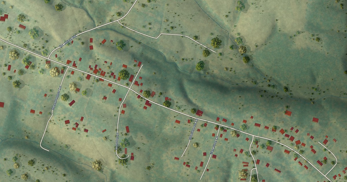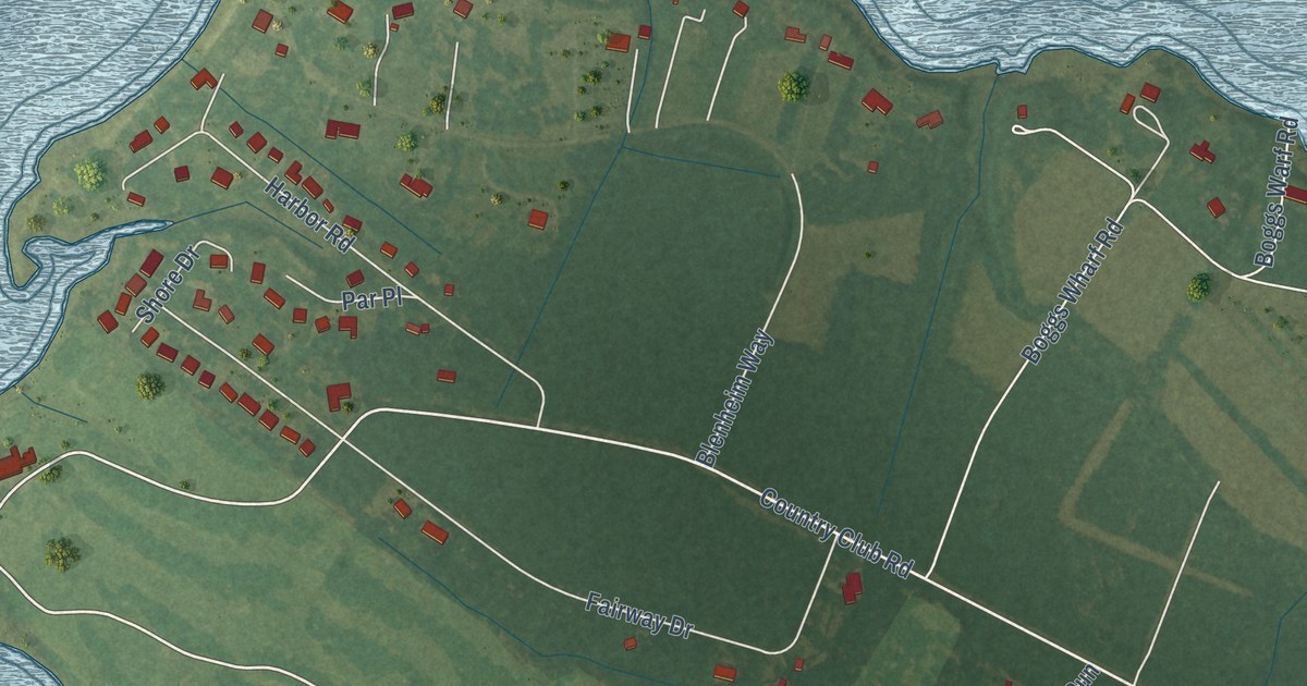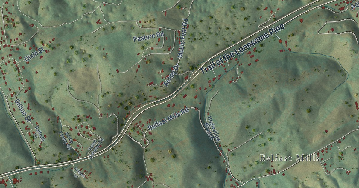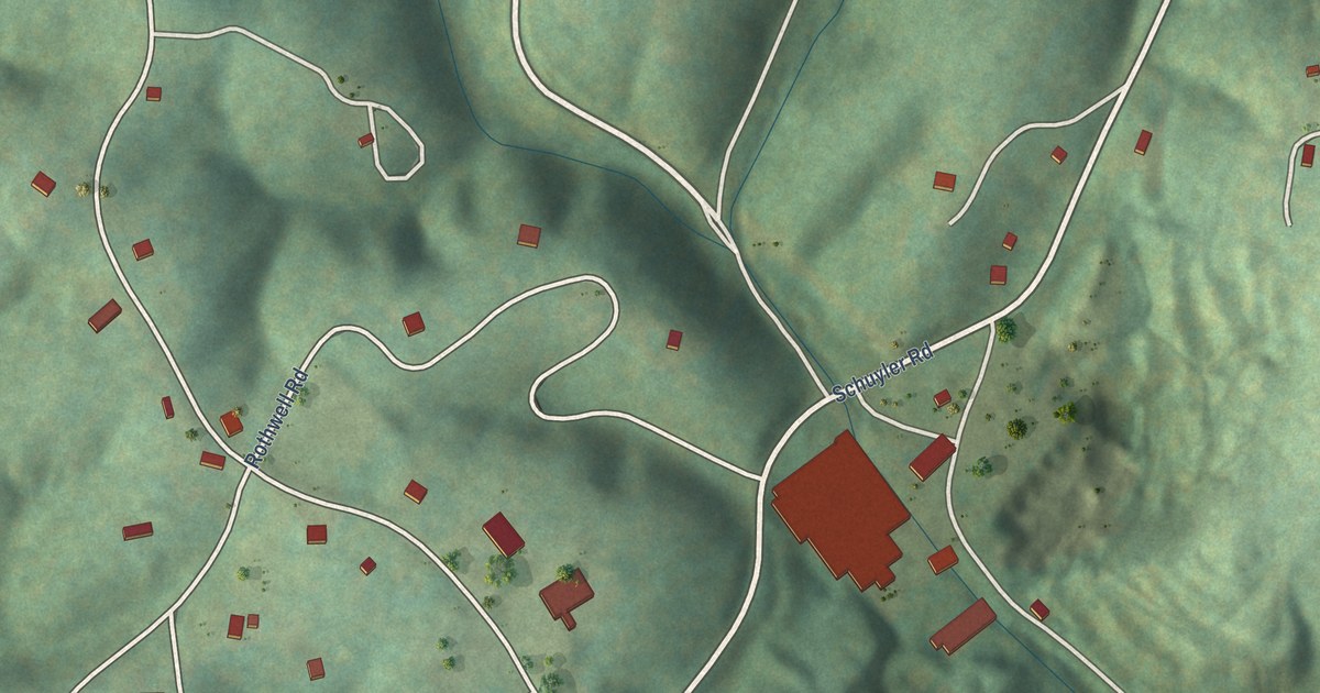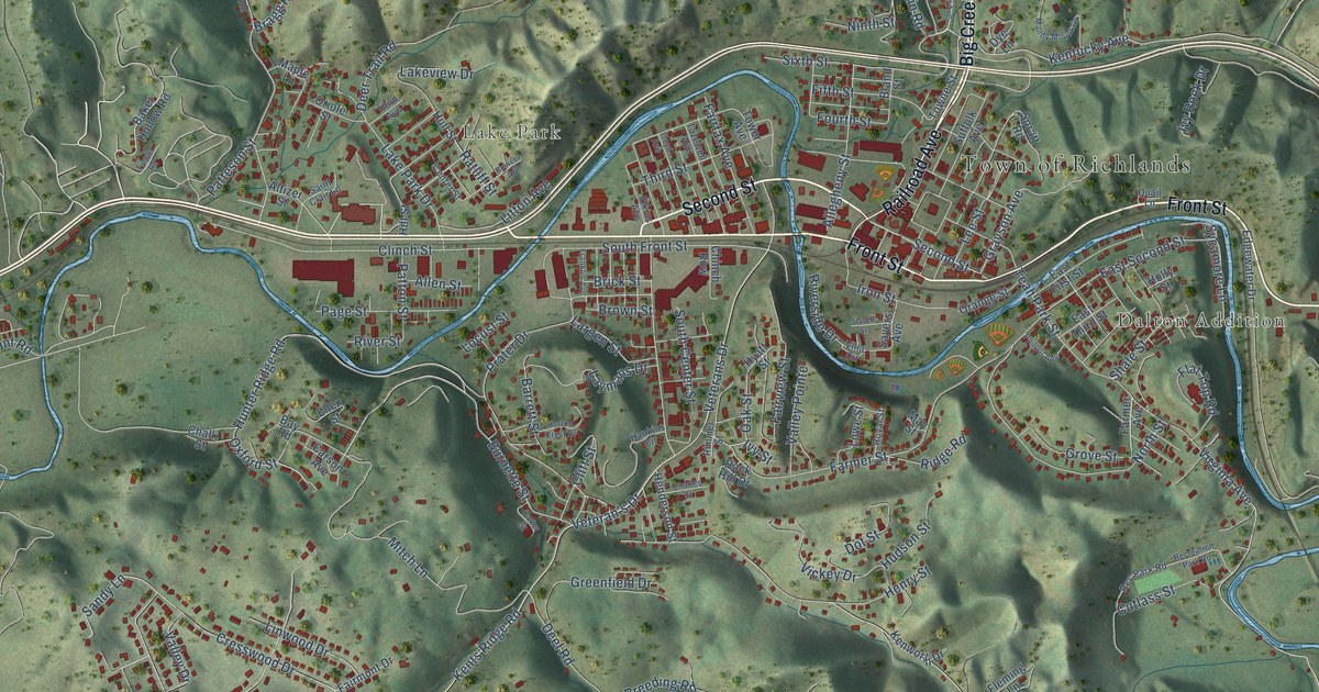
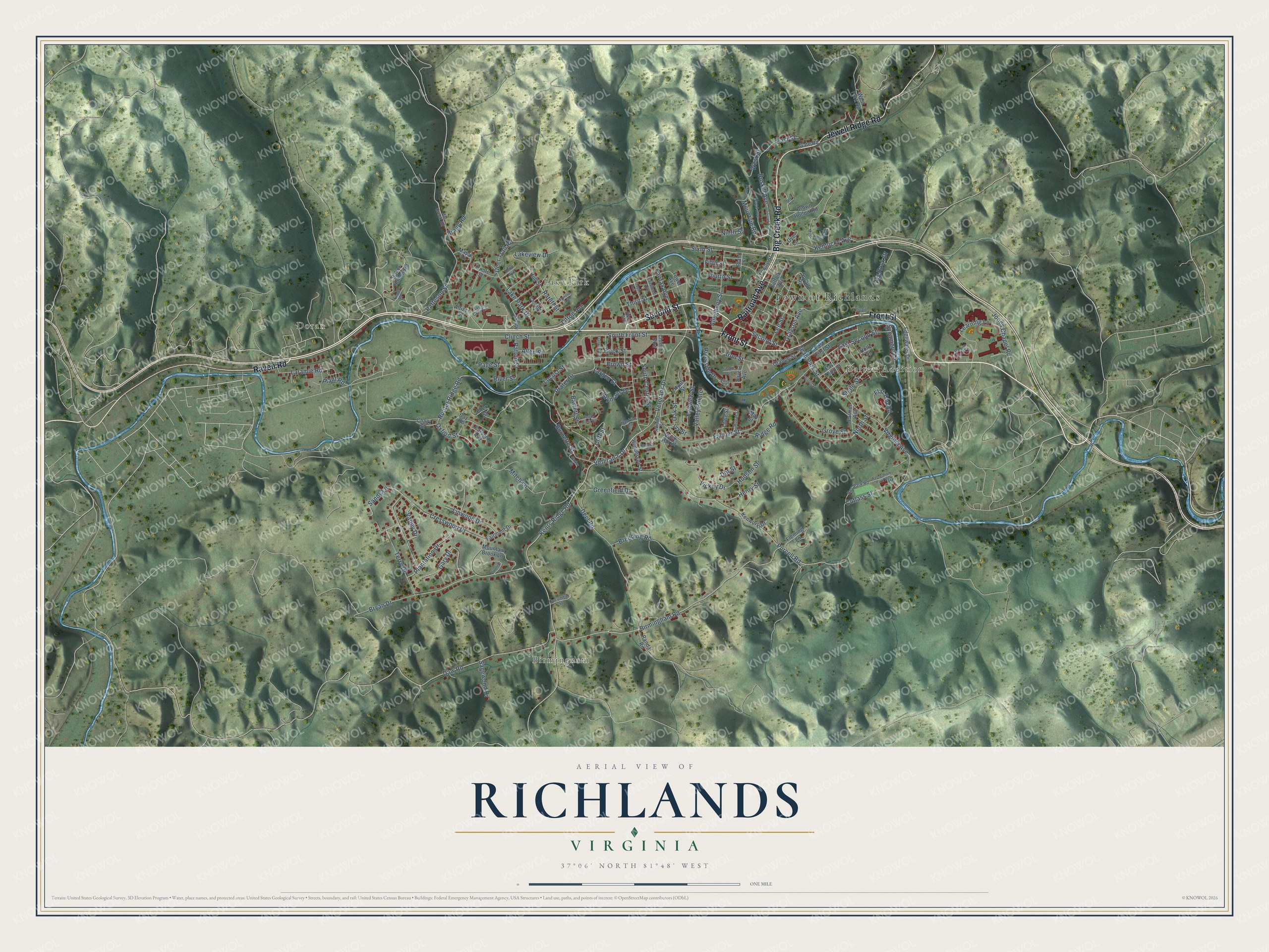
This beautifully detailed map of Richlands, Virginia was created in 2026 using aerial imagery combined with modern topographical, census, street and landmark data. It’s a one-of-a-kind view of Richlands that combines accurate data with a vintage aesthetic. The map shows every building in its true location, many of the roads carry their names, and the shaded topographic relief shows the shape of the land.
Explore an aerial view of Richlands, Virginia
On the map you’ll find Town of Richlands, Doran, Dalton Addition, Birmingham, and Lake Park, along with Railroad Avenue, Big Creek Road, Front Street, Second Street, Jewell Ridge Road, Raven Road, Sixth Street, and more. If you look closely you can even find your house accurately drawn in its correct location. Zoom in on the preview to look for yours.
Did you know this piece of Richlands, Virginia history?
From Vcris.dhr.virginia.gov: "Settlers of European descent arrived in the second half of the 18th century and established a militia outpost by 1782."
Take a closer look at the Richlands map
Street and place names on the Richlands, Virginia map
These names are printed on the map of Richlands, Virginia.
Places: Town of Richlands, Doran, Dalton Addition, Birmingham and Lake Park.
Streets and roads: Railroad Avenue, Big Creek Road, Front Street, Second Street, Jewell Ridge Road, Raven Road, Sixth Street, Veteran's Drive, Grayson Avenue, Kentucky Avenue, Veterans Drive, Plant Road.
More street names, A to Z
Allegheny Street, Allen Street, Altizer Street, Baker Hollow Road, Barrett Street, Bay Road, Birmingham Road, Bland Street, Bowers Avenue, Bragg Road, Breeding Road, Brick Street, Brown Hollow Road, Brown Street, Bryan Drive, Burnette Street, Buskill Avenue, Carson Avenue, Carter Street, Center Street, Central Avenue, Chalk Street, Charles Street, Chinch Row, Cliff Street, Clinch Street, Cresswood Drive, Cucumber Street, Cutlass Street, Daw Road, Deel Road, Deer Trail Road, Dot Street, Dye Lane, East First Street, East Second Street, East Street, East Third Street, Edgewater Drive, Elkins Avenue, Ellen Street, Fairfax Avenue, Fairmont Drive, Fairview Street, Farmer Avenue, Farmer Street, Fifth Street, Flat Top Road, Fleming Lane, Floyd Avenue, Fourth Street, Franklin Avenue, Gary Drive, Gate Road, Greenfield Drive, Grove Street, Hankins Circle, Henderson Street, Henry Street, Hill Creek Road, Hill Street, Holly Street, Hope Avenue, Horton Crest Drive, Hudson Street, Hull Street, Hunter Ridge Road, Hyatt Street, Iron Street, Ivy Rock Drive, Ivy Street, Jewell Street, Jones Chapel Road, Kents Ridge Road, Kenworth Drive, Lake Park Drive, Lakeview Drive, Laramie Road, Largen Street, Laymans Drive, Learning Lane, Lee Street, Linwood Drive, Litton Avenue, Locust Street, Lowe Street, Mandy Mountain, Maple Lane, May Street, Mitch Lane, Mountain Brook Lane, Mountain Road, Ninth Street, North Street, Oak Street, Orange Street, Oriole Street, Oxford Street, Page Street, Patteson Street, Patton Street, Philpot Avenue, Plantation Drive, Prater Drive, Purcell Road, Quail Lane, Randal Road, Ratliff Street, Rec Park Road, Recreation Park Road, Ridge Road, Rimmer Street, Riverside Drive, River Street, Robin Hood Lane, Rock Hill Drive, Royal Street, Sagewood Drive, Saint Clair Lane, Sandy Lane, Sayers Avenue, Shale Street, South Center Street, South Front Street, Spratt Road, Suffolk Avenue, Sunrise Drive, Sycamore Lane, Tazewell Avenue, Teah Park Street, Terry Drive, Third Avenue, Third Street, Tipple Road, Tower Avenue, Towne Street, Valley Drive, Valley Pointe, Vickey Drive, Villa Circle, Virginia Avenue, West Fork Road, West Street, Wren Lane.
See the Richlands, Virginia map on a wall
The Richlands map as an 18 x 24 inch print in a black frame.

This beautifully detailed map of Richlands makes an attractive addition to your office, library, or den, and it can even be used to teach children the geography and history of the area. It also makes a great gift for anyone with Richlands roots. When you’re done exploring, click here to get your copy of the Richlands map.