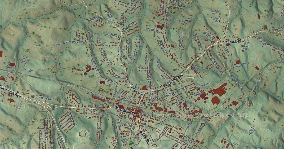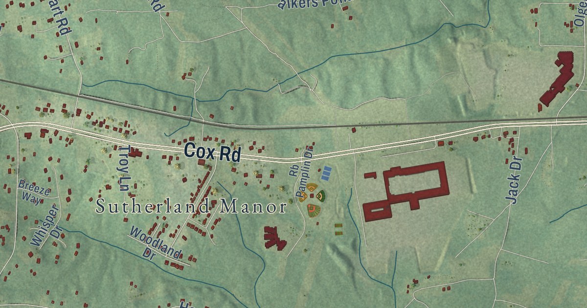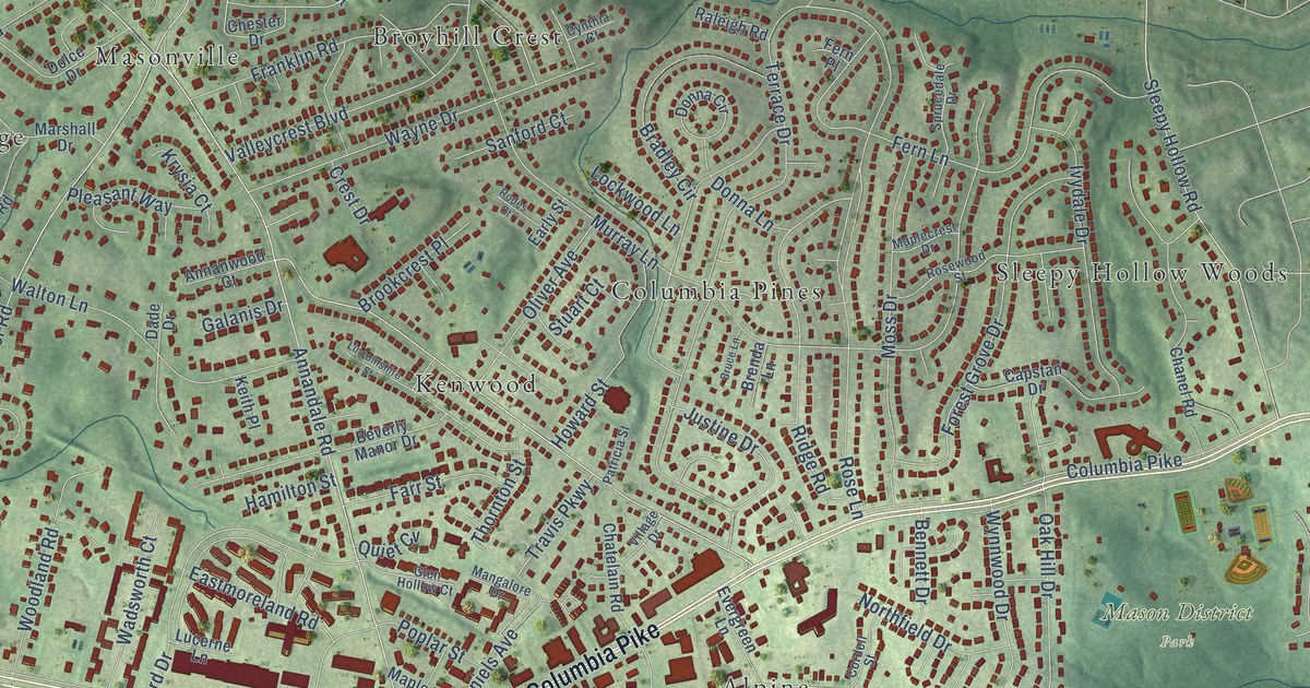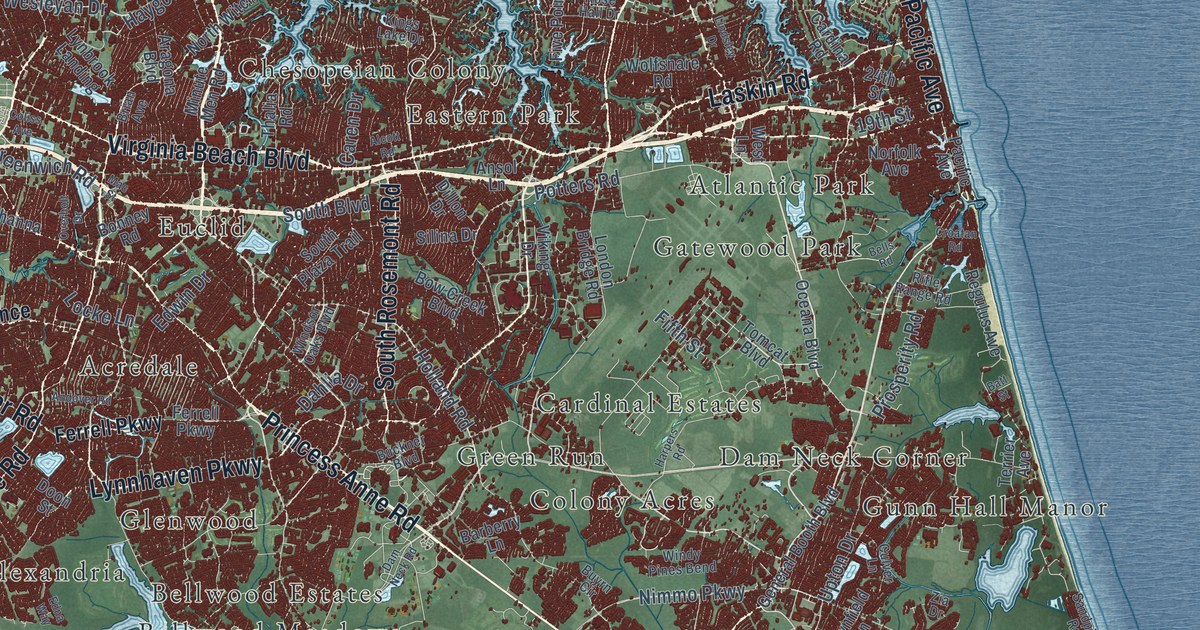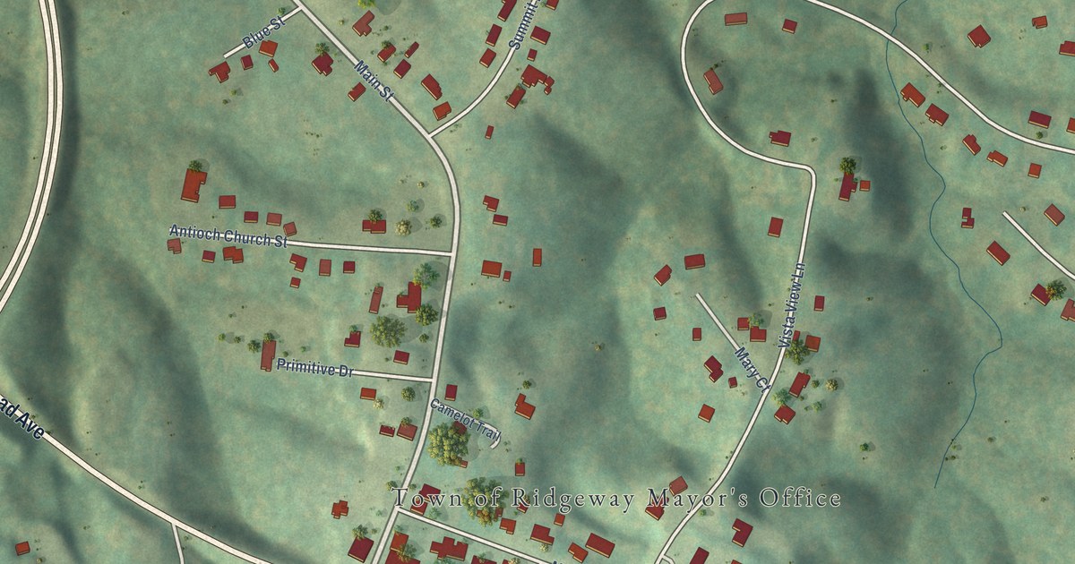
This beautifully detailed map of Ridgeway, Virginia was created in 2026 using aerial imagery combined with modern topographical, census, street and landmark data. It’s a one-of-a-kind view of Ridgeway that combines accurate data with a vintage aesthetic. The map shows every building in its true location, many of the roads carry their names, and the shaded topographic relief shows the shape of the land.
Explore an aerial view of Ridgeway, Virginia
On the map you’ll find Town of Ridgeway Mayor’s Office, along with Main Street, Greensboro Road, Morehead Avenue, Phospho Springs Road, Summit Ridge Road, Vista View Lane, Church Street, Old Leaksville Road, Ellsworth Court, Elizabeth Drive, Carriage Court, and more. If you look closely you can even find your house accurately drawn in its correct location. Zoom in on the preview to look for yours.
Did you know this piece of Ridgeway, Virginia history?
From the Martinsville-Henry County Historical Society: "The large hotel was built from 1897-1899 by E. H. Hayes on 100 acres of land located about two miles northeast of Ridgeway. It was named Phospholithia Hotel for the Phospho-Lithia Springs nearby."
Take a closer look at the Ridgeway map
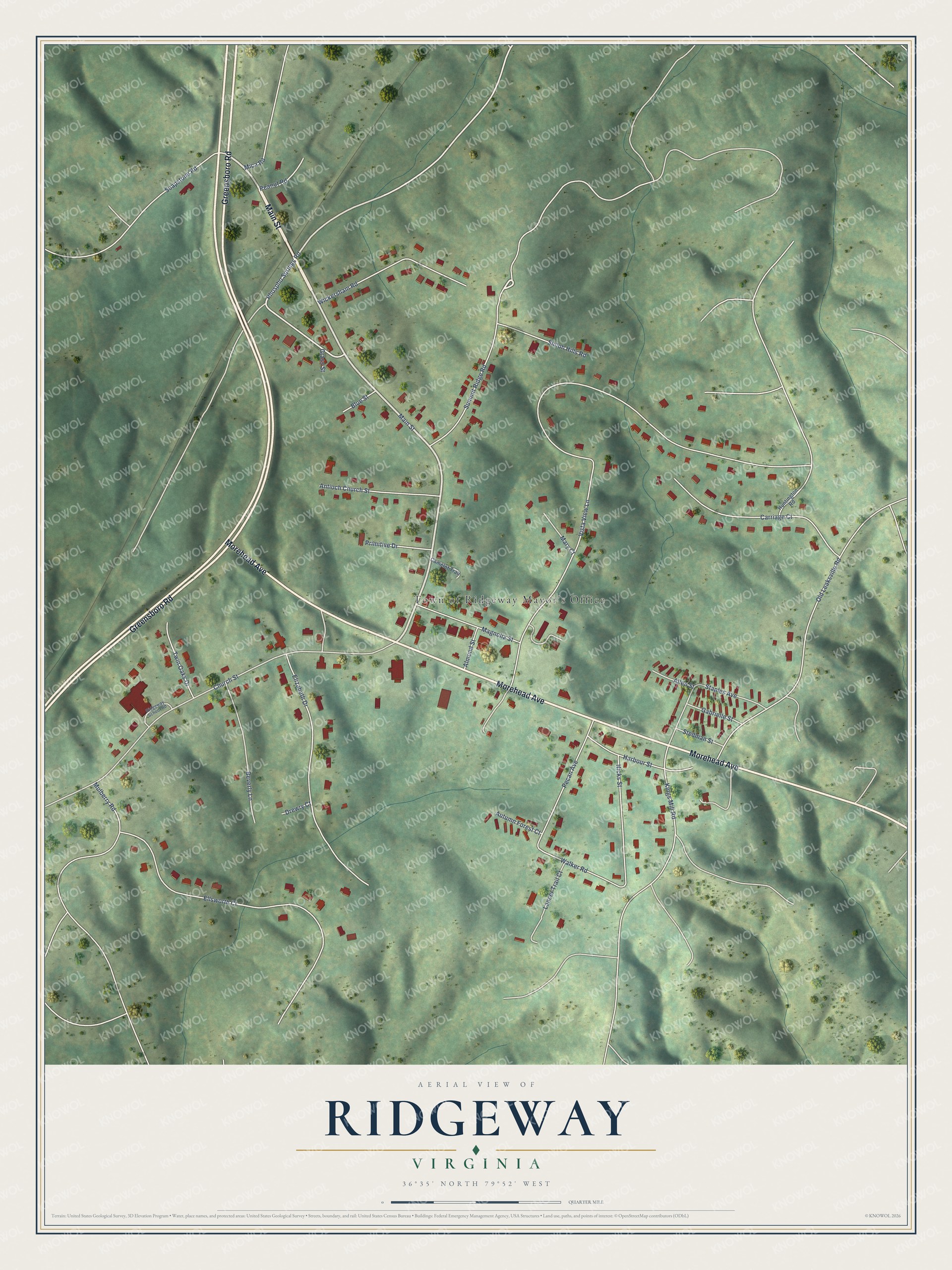
Street and place names on the Ridgeway, Virginia map
These names are printed on the map of Ridgeway, Virginia.
Places: Town of Ridgeway Mayor's Office.
Streets and roads: Main Street, Greensboro Road, Morehead Avenue, Phospho Springs Road, Summit Ridge Road, Vista View Lane, Church Street, Old Leaksville Road, Ellsworth Court, Elizabeth Drive, Carriage Court, Wickersham Road.
More street names, A to Z
Allen Street, Almond Street, Antioch Church Street, Autumn Forest Court, Beverly Lane, Blue Street, Camelot Trail, Drewry Court, Gabrielle Street, Grass Street, Harbour Street, Hicks Street, Huntington Road, Kings Mill Road, Lancer Trail Court, Magnolia Street, Mary Court, Mica Road, Mulberry Road, Peanut Road, Pecan Avenue, Primitive Drive, Ridgeway School Road, Shiloh Hills Road, Soapstone Road, Staples Avenue, Stedman Street, Twin Oaks Drive, Walker Road.
See the Ridgeway, Virginia map on a wall
The Ridgeway map as an 18 x 24 inch print in a black frame.

This beautifully detailed map of Ridgeway makes an attractive addition to your office, library, or den, and it can even be used to teach children the geography and history of the area. It also makes a great gift for anyone who grew up in Ridgeway or moved away. When you’re done exploring, click here to get your copy of the Ridgeway map.