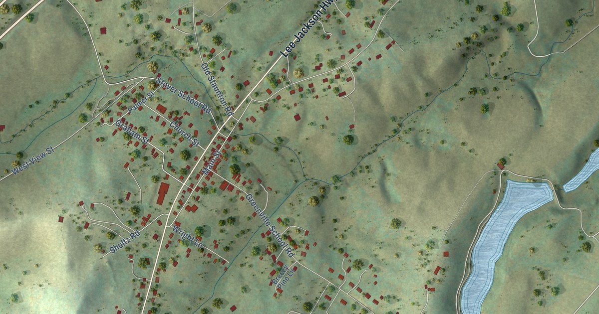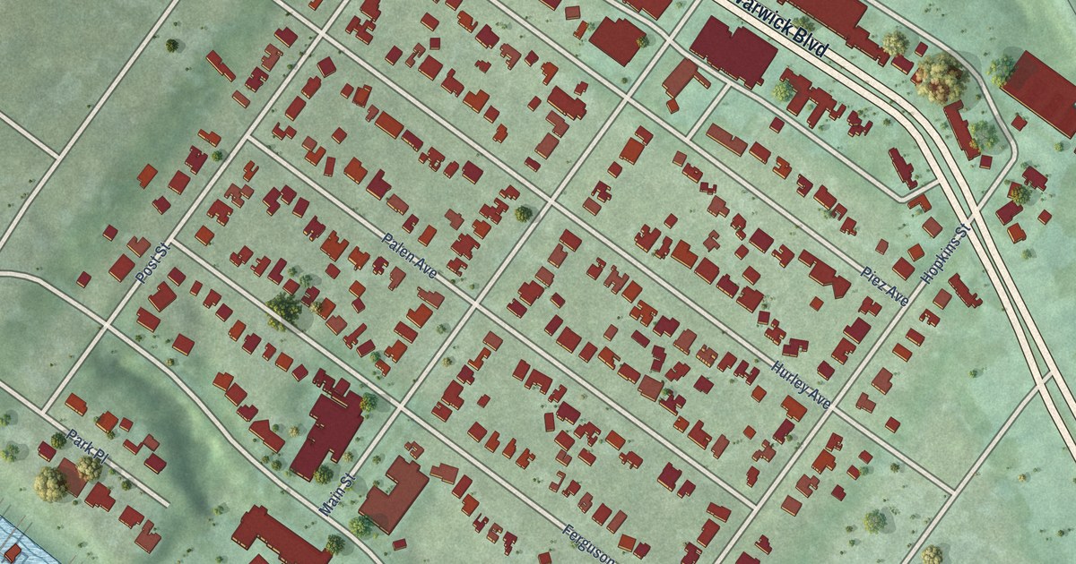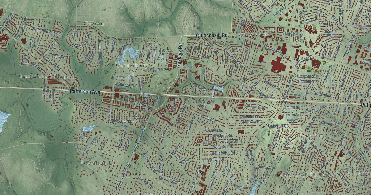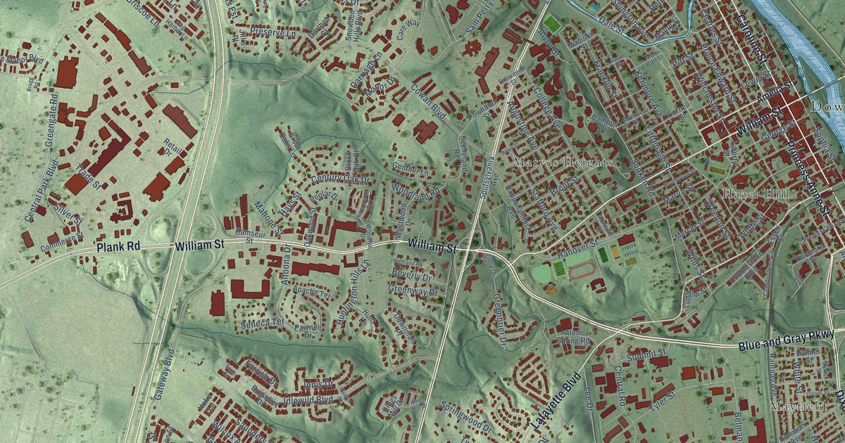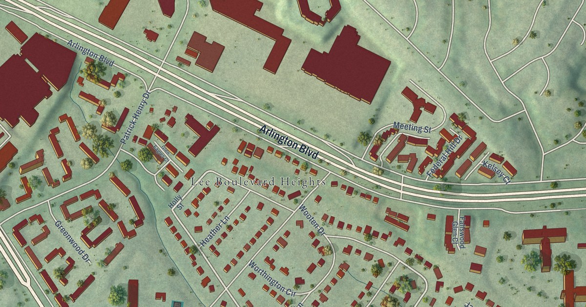
This beautifully detailed map of Seven Corners, Virginia was created in 2026 using aerial imagery combined with modern topographical, census, street and landmark data. It’s a one-of-a-kind view of Seven Corners that combines accurate data with a vintage aesthetic. The map shows every building in its true location, many of the roads carry their names, and the shaded topographic relief shows the shape of the land.
Explore an aerial view of Seven Corners, Virginia
On the map you’ll find Culmore and Lee Boulevard Heights, along with Leesburg Pike, Arlington Boulevard, Wilson Boulevard, Lakeside View Drive, Brook Drive, Glen Carlyn Road, Patrick Henry Drive, Munson Hill Road, Olin Drive, Apex Circle, and more. If you look closely you can even find your house accurately drawn in its correct location. Zoom in on the preview to look for yours.
Did you know this piece of Seven Corners, Virginia history?
From the Falls Church News-Press: "The Seven Corners Task Force work is just the latest in a long history of activity in what used to be known as Fort Buffalo. During the Civil War, a Union fortification was built and called Fort Buffalo, one of more than two dozen outposts established to protect the capital city."
Take a closer look at the Seven Corners map
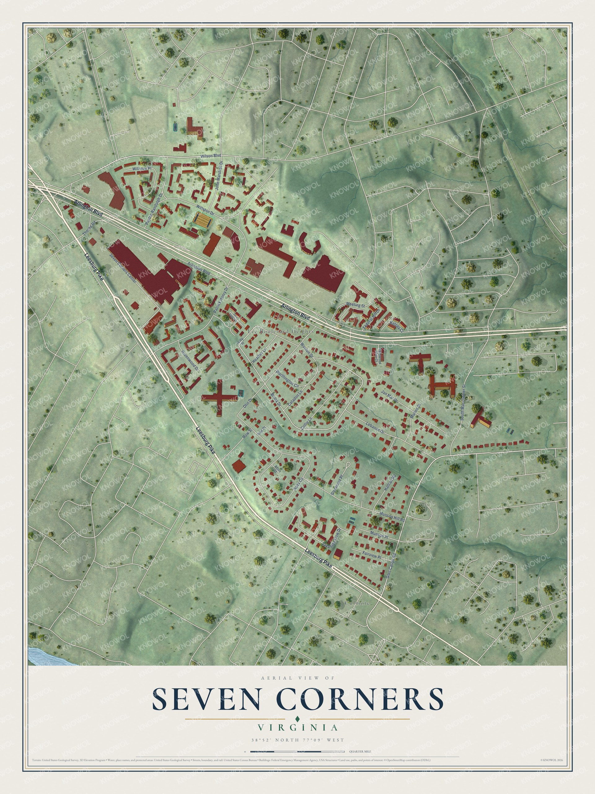
Street and place names on the Seven Corners, Virginia map
These names are printed on the map of Seven Corners, Virginia.
Places: Culmore and Lee Boulevard Heights.
Streets and roads: Leesburg Pike, Arlington Boulevard, Wilson Boulevard, Lakeside View Drive, Brook Drive, Glen Carlyn Road, Patrick Henry Drive, Munson Hill Road, Olin Drive, Apex Circle, Seven Corners Center, Lebanon Drive.
More street names, A to Z
Afton Court, Celadon Lane, Collie Lane, Fairview Place, Fallswood Glen Court, Federal Hill Drive, Glen Eagles Court, Glenwood Place, Greenwood Drive, Hallran Road, Heather Lane, Holly Street, Jan Mar Drive, John Marshall Drive, Kelsey Court, Maries Drive, Meeting Street, Munson Place, Peyton Randolph Drive, Row Place, Row Street, South Manchester Street, Thorne Road, Willston Drive, Willston Place, Wooten Drive, Worthington Circle.
See the Seven Corners, Virginia map on a wall
The Seven Corners map as an 18 x 24 inch print in a black frame.

This beautifully detailed map of Seven Corners makes an attractive addition to your office, library, or den, and it can even be used to teach children the geography and history of the area. It also makes a great gift for anyone who grew up in Seven Corners or moved away. When you’re done exploring, click here to get your copy of the Seven Corners map.