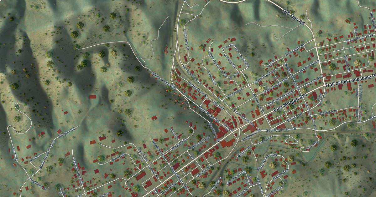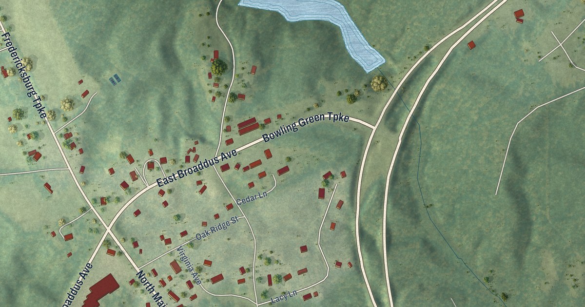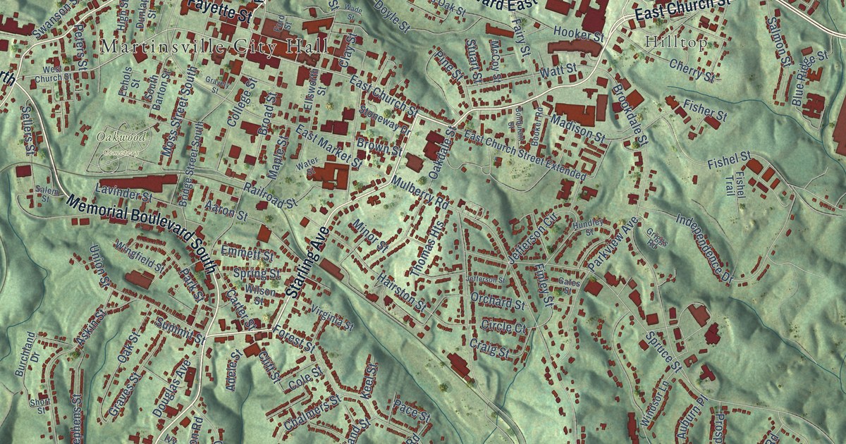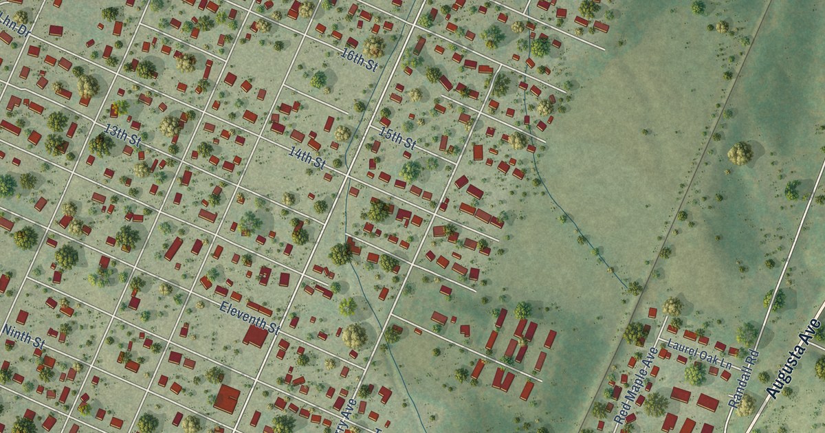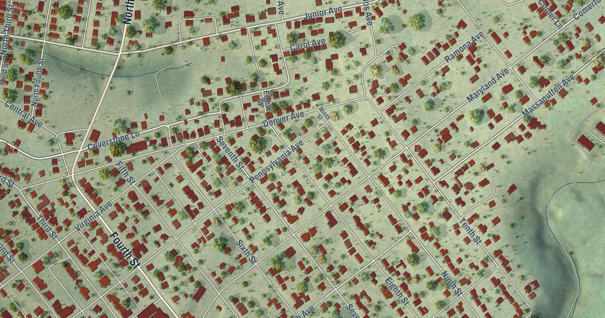
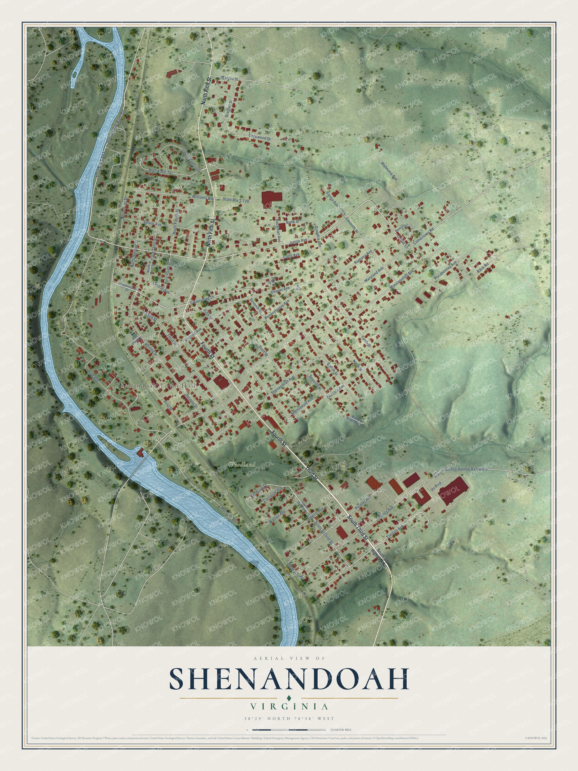
This beautifully detailed map of Shenandoah, Virginia was created in 2026 using aerial imagery combined with modern topographical, census, street and landmark data. It's a modern aerial view of Shenandoah in Page County, Virginia, that combines modern data with a vintage aesthetic. The roads feature printed names, and if you look closely you can find your exact house accurately shown in its correct location.
Explore an aerial view of Shenandoah, Virginia
On this map you'll find Shenandoah Town Hall, Woodland, South Third Street, Third Street, North Fifth Street, Fourth Street, Junior Avenue, Comer Lane, State Rte T-683, Coverstone Lane, Comertown Road, Trenton Avenue, and more. Each red shape is a building, so zoom in on the preview and look for yours.
Shenandoah has a story worth telling. The Virginia Tourism puts it this way: "Shenandoah, Virginia is the southernmost town in Page County. The town grew in the early 1800's to support an iron ore forge situated along the Shenandoah River."
Shenandoah is a town in Page County. The Census Bureau counted 2,486 people here in 2020.
Take a closer look at the Shenandoah map
Names on this map
These names are printed on this map.
Places: Shenandoah Town Hall and Woodland.
Streets and roads: South Third Street, Third Street, North Fifth Street, Fourth Street, Junior Avenue, Comer Lane, State Route T-683, Coverstone Lane, Comertown Road, Trenton Avenue, Un Prrd, South Second Street.
More street names, A to Z
Back Road, Bank Street, Blue Ridge Avenue, Carol Avenue, Central Avenue, Corcoran Avenue, Coverstone Street, Denver Avenue, Edgewood Drive, Eighth Street, Eleventh Street, Fifth Street, First Street, Grandos Avenue, Gregory Street, High Knoll Terrace, Hockman Avenue, Kenesaw Street, Liberty Avenue, Locustdale Loop, Long Avenue, Marcus Street, Maryland Avenue, Massanutten Avenue, Morrison Road, Ninth Street, North First Street, North Fourth Street, North Second Street, North Third Street, Osceola Avenue, Pennsylvania Avenue, Pocahontas Avenue, Pulaski Avenue, Quincy Avenue, Quincy Avenue Extended, Rail Road Avenue, Rail Road Street, Ramona Avenue, Romona Lane, Second Street, Senior Avenue, Seventh Street, Shenandoah Avenue, Shenandoah River Road, Shenvadale Avenue, Sixth Street, South First Street, South US Highway 340, State Route T-729, Tenth Street, Varina Avenue, Virginia Avenue, Viring Street, Wahnona Avenue, Warren Avenue, Williams Avenue.
Created by KNOWOL in 2026. The buildings are small red shapes, the roads carry their printed names, and shaded relief shows the shape of the land. The title panel reads "AERIAL VIEW OF SHENANDOAH VIRGINIA".
It looks right in a kitchen, an office or a den, and it's a gift for anyone who grew up in Shenandoah or moved away. Open the preview and find your street. See sizes and frames for the Shenandoah map.