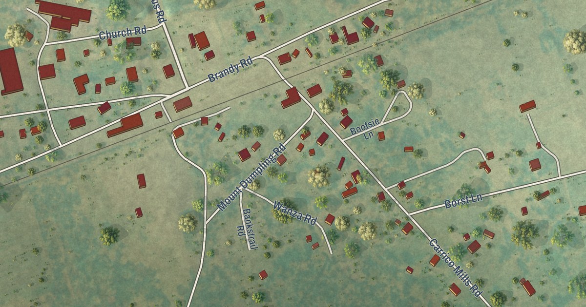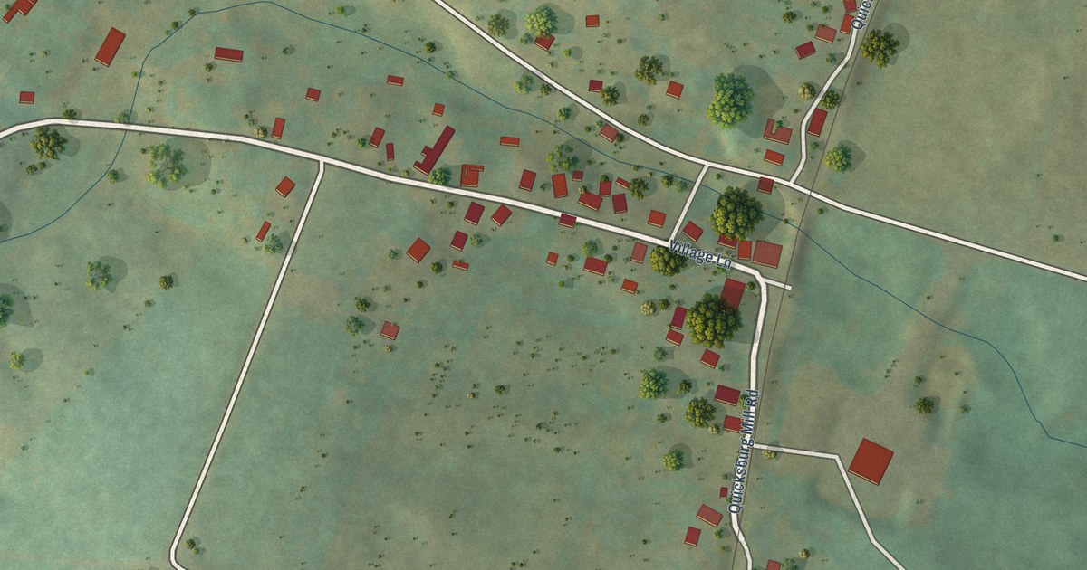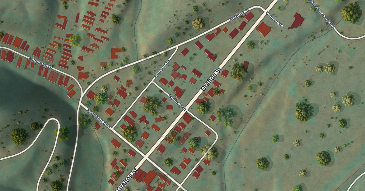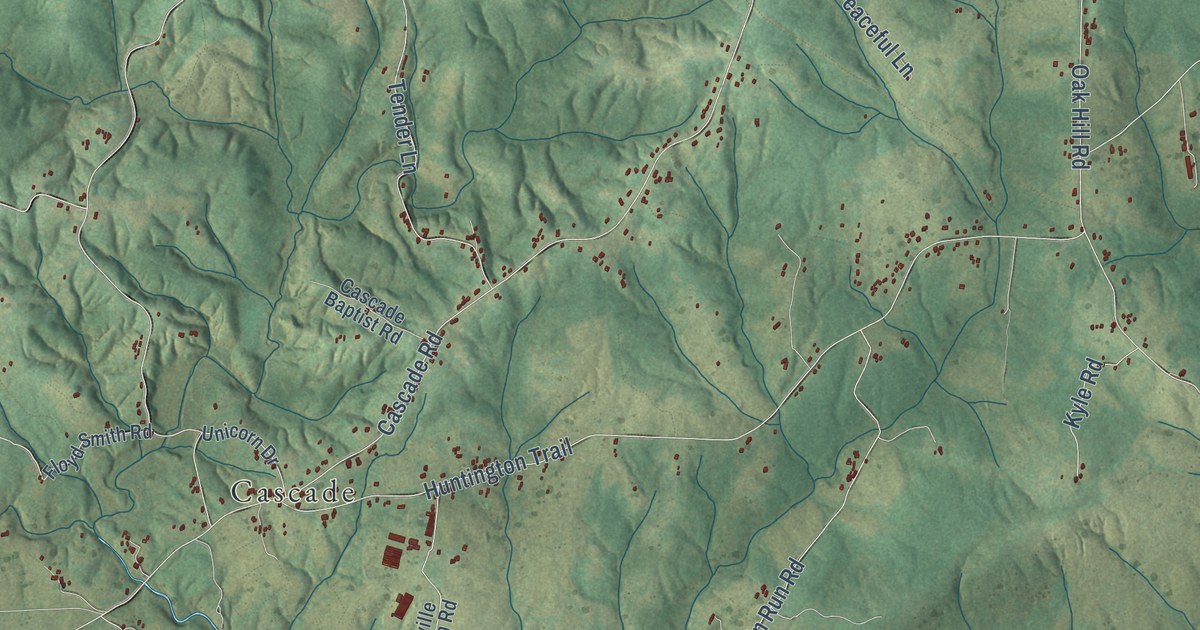
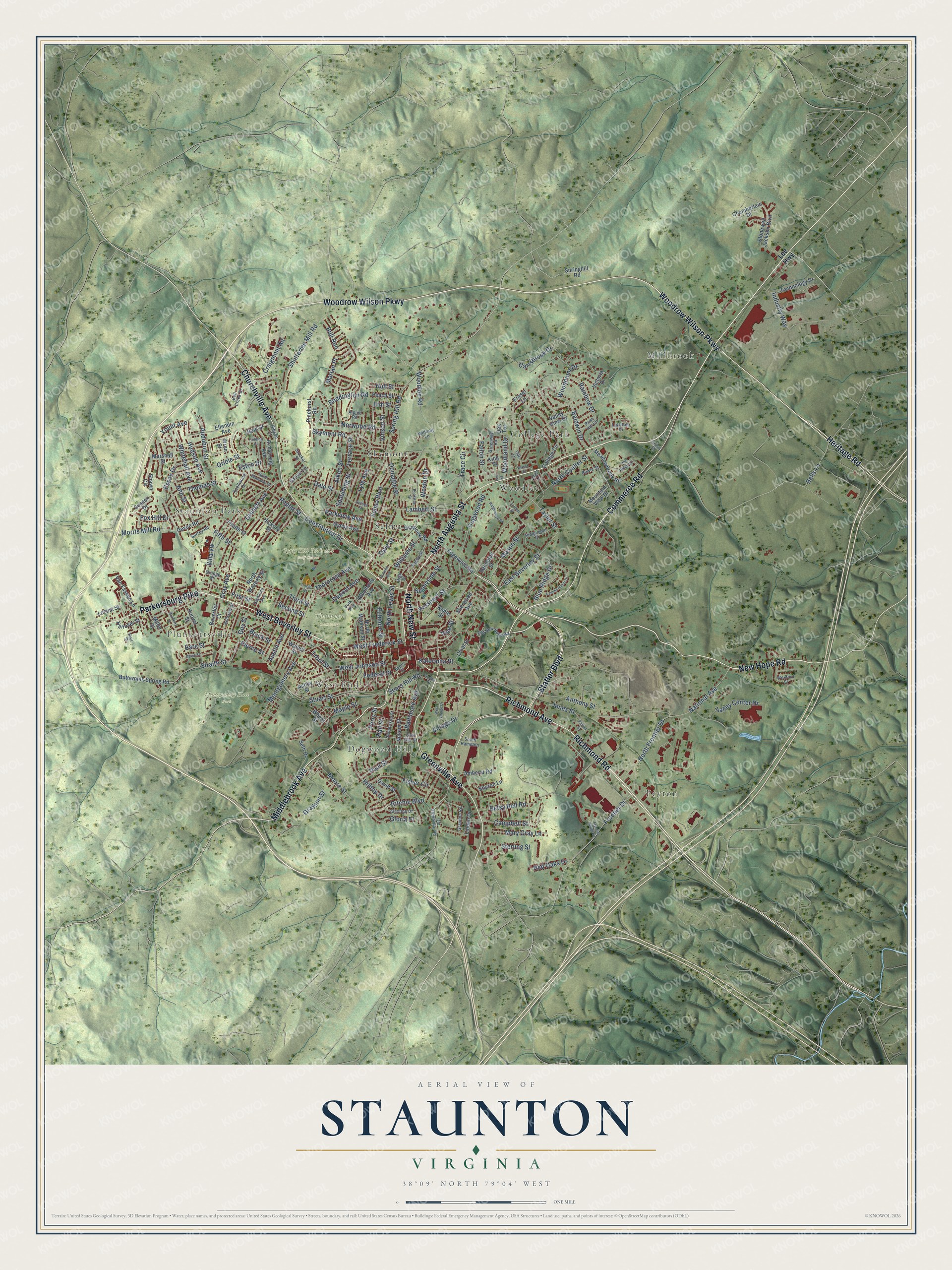
This beautifully detailed map of Staunton, Virginia was created in 2026 using aerial imagery combined with modern topographical, census, street and landmark data. It’s a one-of-a-kind view of Staunton that combines accurate data with a vintage aesthetic. The map shows every building in its true location, many of the roads carry their names, and the shaded topographic relief shows the shape of the land.
Explore an aerial view of Staunton, Virginia
On the map you’ll find Millbrook, Peyton, Plunkettsville, Staunton Park, Dogwood Hill, Gypsy Hill Park and Golf Course, Montgomery Hall Park, Thornrose Cemetery, College Park, Selma, Skymont, West End, and more. If you look closely you can even find your house accurately drawn in its correct location. Zoom in on the preview to look for yours.
Did you know this piece of Staunton, Virginia history?
From Vcris.dhr.virginia.gov: "Chartered on 13 January 1844 as the Virginia Female Institute, Stuart Hall is Virginia's oldest college preparatory school for girls."
Take a closer look at the Staunton map
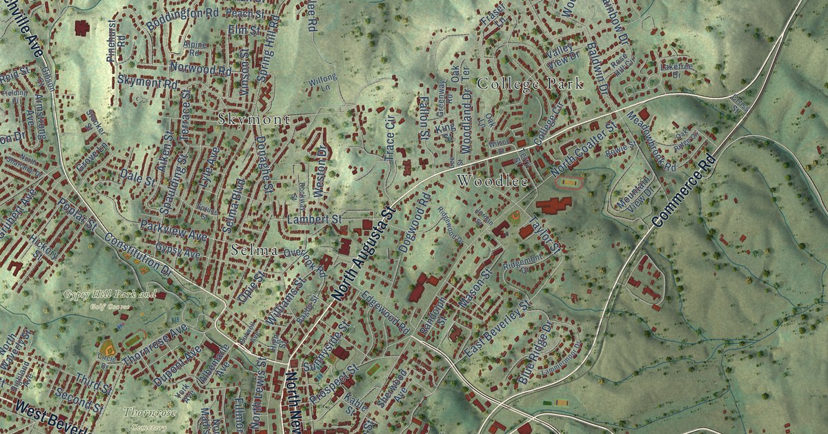
Street and place names on the Staunton, Virginia map
These names are printed on the map of Staunton, Virginia.
Places: Millbrook, Peyton, Plunkettsville, Staunton Park, Dogwood Hill, Gypsy Hill Park and Golf Course, Montgomery Hall Park, Thornrose Cemetery, College Park, Selma, Skymont, West End and Woodlee.
Streets and roads: Commerce Road, North Augusta Street, Richmond Avenue, Churchville Avenue, West Beverley Street, Richmond Road, Woodrow Wilson Parkway, New Hope Road, Greenville Avenue, Heritage Road, Statler Boulevard, Parkersburg Pike.
More street names, A to Z
Aiken Street, Albemarle Avenue, Alextine Drive, Alpine Road, Amherst Road, Ann Street, Anthony Street, Armstrong Avenue, Ashby Street, Audubon Street, Austin Avenue, Bagby Street, Baldwin Drive, Baltimore Avenue, Bare Street, Bell Creek Drive, Bells Lane, Bellview Street, Betsy Bell Road, Beverley Court, Blair Street, Blue Ridge Drive, Boddington Road, Bowie Street, Buick Street, Bull Run, Burwell Avenue, Buttermilk Spring Road, Byers Street, Campbell Street, Carrsbrook Drive, Chamberlain Drive, Chief Street, Circle Drive, College Circle, Constitution Drive, Craigmont Road, Cross Street, Dale Street, David Street, Davis Street, Devon Road, Dogwood Road, Donaghe Street, Dupont Avenue, East Beverley Street, East Gay Street, Edgewood Road, Ellendin Avenue, Elm Street, Essex Drive, Eston Drive, Fallon Street, Federal Street, Fielding Place, Fifth Street, Fillmore Street, First Street, Fisher Circle, Fourth Street, Fox Hill Drive, Fraser Lane, Frontier Drive, Frontier Ridge Court, Garber Street, Gibson Court, Gloria Place, Grandon Road, Gray Avenue, Grayson Street, Greenway Road, Grove Lane, Grubert Avenue, Guy Street, Gypsy Avenue, Hall Street, Hanover Street, Hickory Street, Highland Avenue, High Street, Hilltop Drive, Hoover Street, Hudson Avenue, Hull Street, Industry Way, Jones Street, Jordan Street, Kable Street, Kalorama Street, King Street, Knollwood Drive, Laketree Drive, Lambert Street, Lammermoor Drive, Lee Highway, Lee Street, Linden Drive, Locust Street, Lyle Avenue, Maple Street, Marian Place, Marshall Street, Mary Gray Lane, Mason Street, Meadowbrook Road, Middlebrook Avenue, Miller Street, Montgomery Avenue, Moore Street, Morris Mill Road, Mountain View Drive, Mulberry Street, National Avenue, Nelson Street, North Coalter Street, North Frontier Drive, North Lewis Street, North Madison Street, North New Street, North Sharlaine Drive, North Waverly Street, Norwood Road, Oak Lane, Oak Ridge Circle, Oak Terrace, Old Greenville Road, Old New Hope Road, Opie Street, Orange Street, Oriole Street, Overlook Road, Parkview Avenue, Patton Street, Paul Street, Peach Street, Perry Street, Pierce Street, Pinehurst Road, Poplar Street, Prospect Street, Rainbow Drive, Randolph Street, Red Oaks Drive, Reid Street, Ridgemont Drive, Ridgewood Drive, Ritchie Boulevard, Robertson Street, Rockway Street, Rose Hill Circle, Sears Hill Road, Second Street, Selma Boulevard, Seth Drive, Sharon Lane, Shawn Circle, Sherwood Avenue, Shutterlee Mill Road, Skymont Road, South Hampton, Spaulding Street, Spring Hill Road, Springhill Road, Spruce Street, Sterling Street, Stocker Street, Stonewall Jackson Boulevard, Straith Street, Stuart Street, Sunnyside Street, Surrey Road, Sussex Drive, Taylor Street, Technology Drive, Terrace Street, Terry Street, Third Street, Thomas Street, Thornrose Avenue, Trace Circle, Trout Street, Valley Center Drive, Valley View Drive, Van Fassen Lane, Victoria Drive, Village Drive, Villa Vw, Vine Street, Vinson Street, Walnut Street, West Frederick Street, West Johnson Street, Weston Drive, West Village Drive, Wexford Street, Wheat Street, Whitehall Avenue, Wilfong Lane, Williams Street, Wilson Street, Woodland Drive, Woodlee Road, Woodmont Drive, Wren Street, York Avenue, Yount Avenue.
See the Staunton, Virginia map on a wall
The Staunton map as an 18 x 24 inch print in a black frame.

This beautifully detailed map of Staunton makes an attractive addition to your office, library, or den, and it can even be used to teach children the geography and history of the area. It also makes a great gift for anyone with Staunton roots. When you’re done exploring, click here to get your copy of the Staunton map.