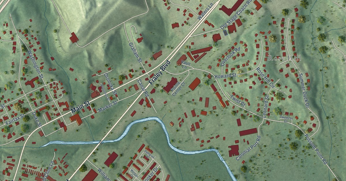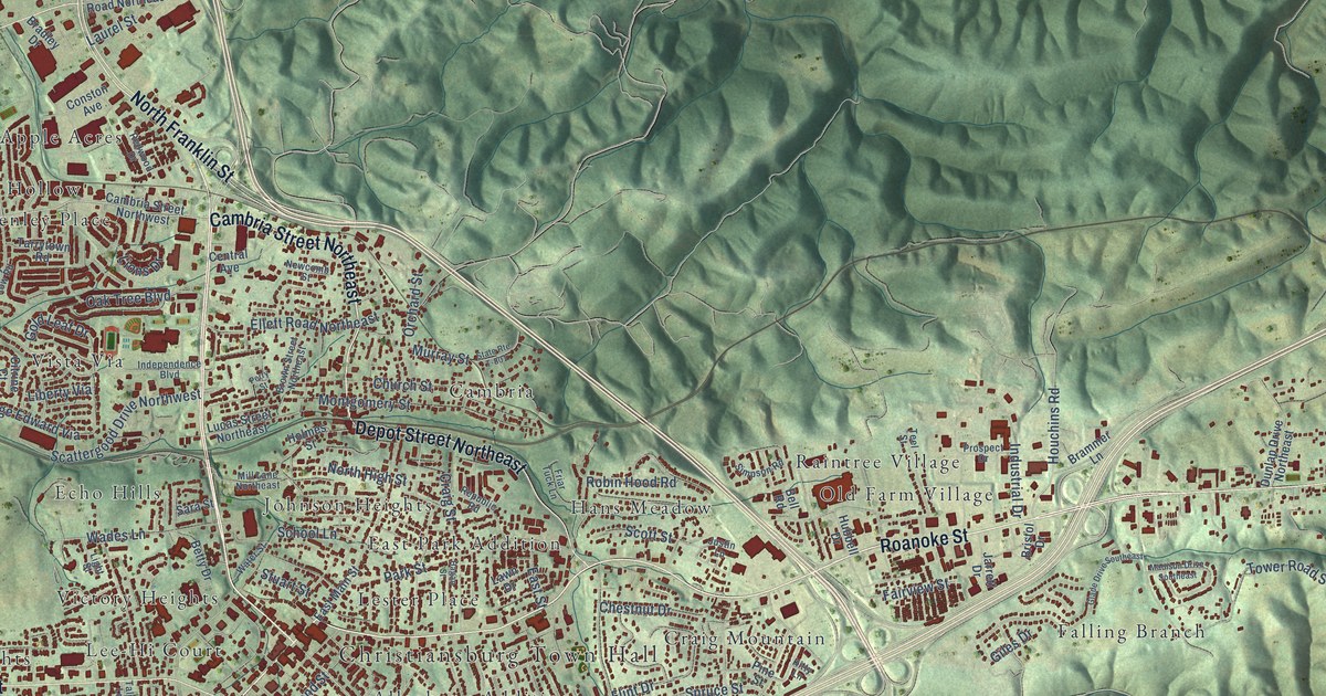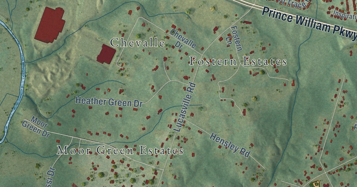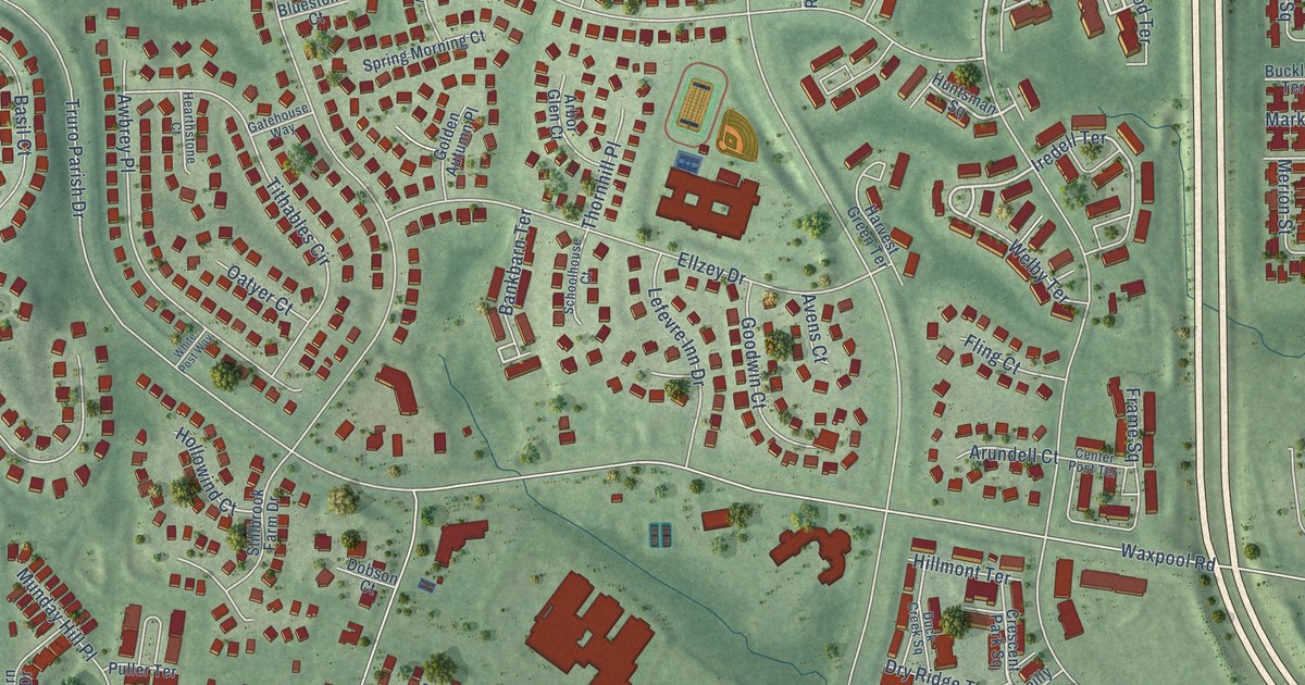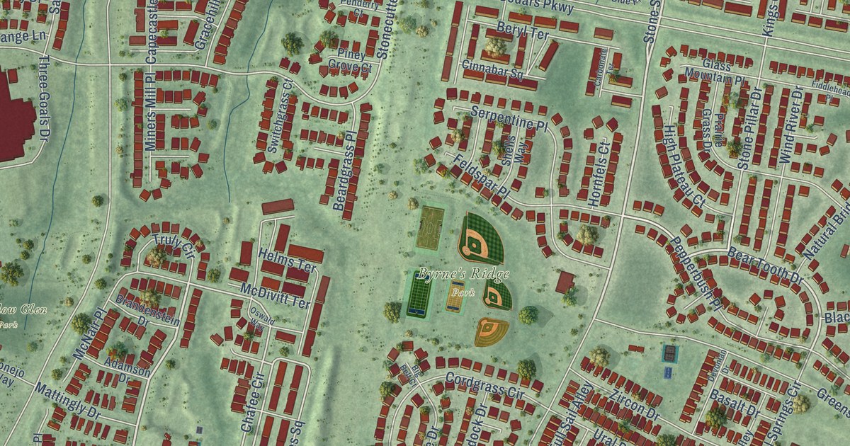
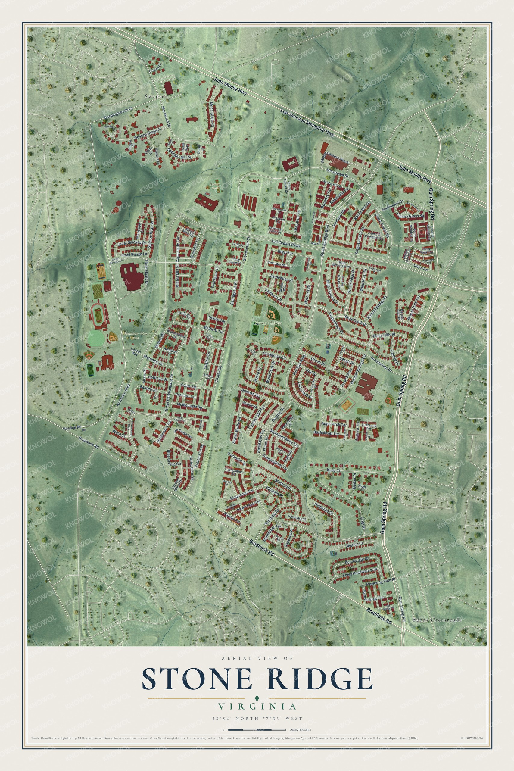
This beautifully detailed map of Stone Ridge, Virginia was created in 2026 using aerial imagery combined with modern topographical, census, street and landmark data. It’s a one-of-a-kind view of Stone Ridge that combines accurate data with a vintage aesthetic. The map shows every building in its true location, many of the roads carry their names, and the shaded topographic relief shows the shape of the land.
Explore an aerial view of Stone Ridge, Virginia
On the map you’ll find Byrne’s Ridge Park, Meadow Glen Park, Bowers Field, Burns Crossroads, and Swansen, along with Gum Spring Road, John Mosby Highway, Lee Jackson Memorial Highway, Braddock Road, Stone Springs Boulevard, Bear Tooth Drive, Great Berkhamsted Drive, and more. If you look closely you can even find your house accurately drawn in its correct location. Zoom in on the preview to look for yours.
Did you know this about Stone Ridge, Virginia?
From the Stone Ridge Association: "Stone Ridge strives to maintain a small-town feel with the big city just down the road! Our picturesque community has won many national and regional landscaping awards for well-manicured streets and common areas."
Take a closer look at the Stone Ridge map
Street and place names on the Stone Ridge, Virginia map
These names are printed on the map of Stone Ridge, Virginia.
Places: Byrne's Ridge Park, Meadow Glen Park, Bowers Field, Burns Crossroads and Swansen.
Streets and roads: Gum Spring Road, John Mosby Highway, Lee Jackson Memorial Highway, Braddock Road, Stone Springs Boulevard, Bear Tooth Drive, Great Berkhamsted Drive, Destiny Drive, Village Centern Plaza, Coats Square, Coates Square, Chafee Circle.
More street names, A to Z
Adamson Drive, Amber Spring Court, Angel Arch Terrace, Apatite Square, Barley Grass Square, Basalt Drive, Bassett Place, Beardgrass Place, Berkley Hill Terrace, Beryl Terrace, Big Belt Court, Black Hills Place, Black Rock Terrace, Blue Flag Terrace, Blue Grama Circle, Brandenstein Drive, Bushclover Terrace, Buttonbush Terrace, Byrne Meadow Square, Byrnes View Terrace, Cable Mill Terrace, Calcite Place, Canary Grass Square, Capecastle Terrace, Carbonate Terrace, Catherdral Valley Square, Chalk Lane, Cherish Court, Cinnabar Square, Clock Tower Square, Conejo Way, Coquina Lane, Cordgrass Circle, Crested Wheat Drive, Curiosity Square, Cutgrass Terrace, Cypress Mill Terrace, Denal Lane, Destination Square, Devonian Drive, Diabase Square, Diamondleaf Terrace, Diligence Court, Dillinger Mill Place, Duiker Drive, Eloquence Terrace, Expectation Square, Feldspar Place, Fiddlehead Place, Flowering Path Place, Fluvial Terrace, Foley Headwaters Street, Fremont Preserve Square, Front Range Lane, Full Sail Alley, Gallberry Terrace, Givens Place, Glass Mountain Place, Goshen Ridge Place, Goshen Road, Gracehill Terrace, Graywacke Drive, Great Berkhamstead Drive, Great Smokey Drive, Greenstone Drive, Greysteel Square, Halite Drive, Harpenden Terrace, Helms Terrace, High Plateau Court, Himalayas Terrace, Hoffman Drive, Hornfels Court, Hummocky Terrace, Inspiration Terrace, Kings Canyon Square, Kudu Court, Letchworth Terrace, Lind Court, Lynette Springs Square, Marrwood Drive, Mason Dale Terrace, Mastery Place, Mattingly Drive, McDivitt Terrace, McMonagle Square, McNair Place, Metamorphic Square, Meyers Glen Place, Millstream Drive, Mineral Springs Circle, Miners Mill Place, Mississippi Court, Moon Glade Court, Moors Mine Terrace, Moreland Mine Terrace, Natural Bridge Place, Nettle Mill Square, Nobility Terrace, Northstar Boulevard, Nyala Court, Oak Medley Terrace, Olivine Place, Onyx Terrace, Oribi Place, Oswald Way, Overmyer Terrace, Owl Creek Drive, Ozark Way, Patriot Terrace, Penderry Court, Pennywort Terrace, Pepperbush Place, Permian Circle, Piney Grove Court, Plantain Terrace, Porch Light Drive, Prairie Fire Square, Prairie Grass Drive, Pyramid Alley, Quartzite Terrace, Radlett Lane, Restful Terrace, Ripple Court, Rosebay Terrace, Rutile Lane, Sacred Mountain Street, Saint Albans Terrace, Salmon River Place, Schmitt Terrace, Serpentine Place, Shells Way, Shorecrest Terrace, Siltstone Square, Sleepingwoods Court, Sodalite Square, Southpoint Drive, Star Sedge Terrace, Stone Carver Drive, Stonecutter Street, Stone Pillar Drive, Supreme Drive, Sweet Myrtle Square, Sweetness Terrace, Switchgrass Court, Tall Cedars Parkway, Tanzanite Terrace, Terrazzo Terrace, Three Goals Drive, Truly Circle, Ultimate Place, Ural Drive, Vacation Place, Visionary Court, Ware Court, Waterdock Drive, Wind River Drive, Zircon Drive.
See the Stone Ridge, Virginia map on a wall
The Stone Ridge map as an 18 x 24 inch print in a black frame.

This beautifully detailed map of Stone Ridge makes an attractive addition to your office, library, or den, and it can even be used to teach children the geography and history of the area. It also makes a great gift for anyone with Stone Ridge roots. When you’re done exploring, click here to get your copy of the Stone Ridge map.