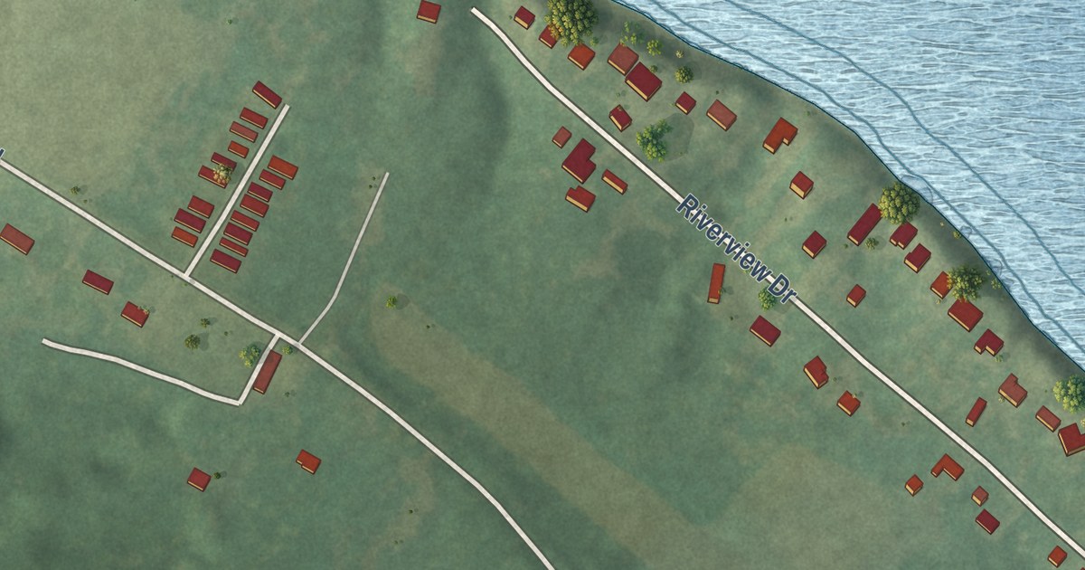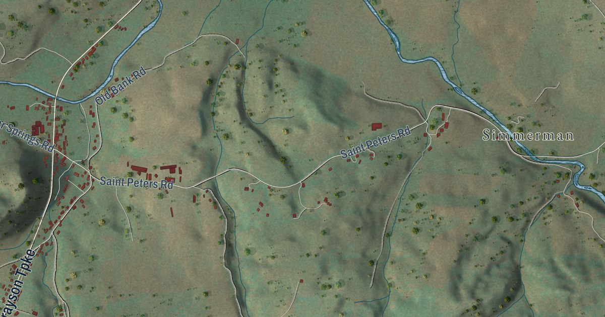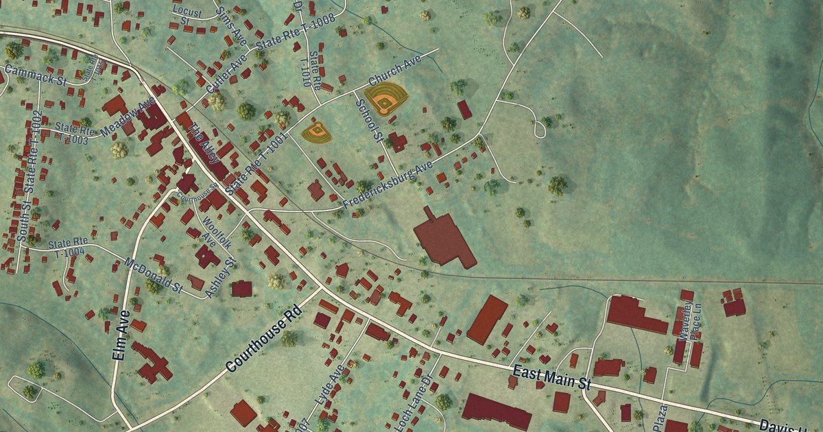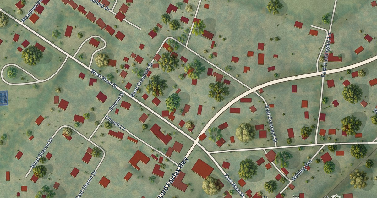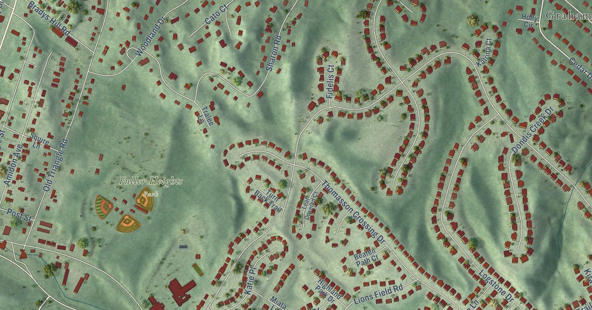
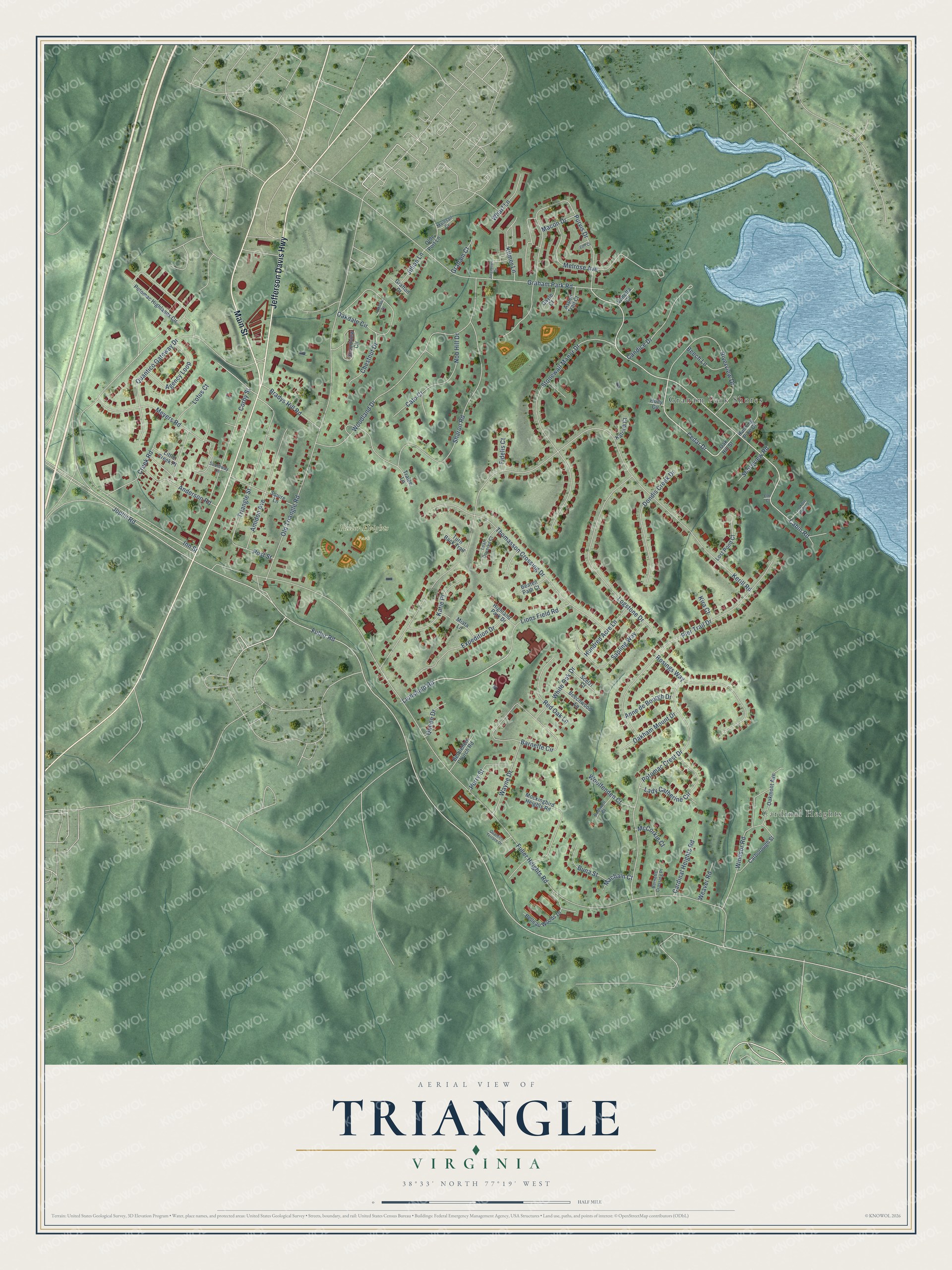
This beautifully detailed map of Triangle, Virginia was created in 2026 using aerial imagery combined with modern topographical, census, street and landmark data. It’s a one-of-a-kind view of Triangle that combines accurate data with a vintage aesthetic. The map shows every building in its true location, many of the roads carry their names, and the shaded topographic relief shows the shape of the land.
Explore an aerial view of Triangle, Virginia
On the map you’ll find Cardinal Heights, Fuller Heights Park, and Graham Park Shores, along with Jefferson Davis Highway, Main Street, Cedar Drive, Cabin Road, Lionsfield Road, Fuller Road, Fuller Heights Road, Kerill Road, Joplin Road, and more. If you look closely you can even find your house accurately drawn in its correct location. Zoom in on the preview to look for yours.
Did you know this about Triangle, Virginia?
From the National Museum of the Marine Corps: "The National Museum of the Marine Corps is a lasting tribute to the commitment, accomplishments, and sacrifices of U.S. Marines."
Take a closer look at the Triangle map
Street and place names on the Triangle, Virginia map
These names are printed on the map of Triangle, Virginia.
Places: Cardinal Heights, Fuller Heights Park and Graham Park Shores.
Streets and roads: Jefferson Davis Highway, Main Street, Cedar Drive, Cabin Road, Lionsfield Road, Fuller Road, Fuller Heights Road, Kerill Road, Joplin Road, Inn Street, Old Triangle Road, Sharon Road.
More street names, A to Z
Agency Loop, Amidon Avenue, Anderson Road, Anne de Bourgh Drive, Aspen Trail Court, Barnette Circle, Barnetts Crossing Place, Beaten Path Court, Beech Lane, Beechwood Lane, Belleau Woods Drive, Bethlehem Church Road, Bothwell Court, Bradys Hill Road, Buna Street, Candice Drive, Carborough Street, Cardinal Heights Road, Cato Court, Chestnut Drive, Corby Street, Creek Road, Dondis Creek Drive, Earl Court, Elm Court, Expedition Drive, Fidelis Court, Gayle Court, Grafton Court, Graham Court, Graham Park Road, Highland Park Drive, Holly Circle, Hundred Acre Lane, Jillian Lane, Jurgensen Drive, Katie Place, Katrina Court, Kilmer Lane, Kira Court, Lady Catherine Circle, Leaf Covered Court, Lions Field Road, Little Creek Place, Logstone Drive, Lookout Point Court, Lost Pond Court, Lotus Court, Macbain Court, Macon Drive, Mainsail Cv, McCorkle Court, Melrose Avenue, Meyers Road, Miata Lane, Mockingbird Heights Road, Nob Hill Drive, Oakdale Circle, Oakdale Drive, Oakham Mount Drive, Oak Hill Street, Oakmont Avenue, Olde Port Lane, Perry Street, Pier Trail Drive, Post Street, Potomac Crest Drive, Potomac Highlands Circle, Purvis Drive, Quantico Gateway Drive, Quantico Terrace Drive, Queen Drive, Red Oak Lane, Riverview Drive, Rosings Way, Running Pine Court, Sapling Way, Scelzi Court, Shoreview Road, Soundview Circle, Southway Lane, Squire Lane, Stonewall Manor Drive, Thomasson Crossing Drive, Tralee Lane, Triangle Street, Turn Back Trail, Vanetta Court, Wayne Drive, Weaver Road, Wharf Lane, White Oak Drive, Windsor Road, Woodland Drive, Woolfenden Court.
See the Triangle, Virginia map on a wall
The Triangle map as an 18 x 24 inch print in a black frame.

This beautifully detailed map of Triangle makes an attractive addition to your office, library, or den, and it can even be used to teach children the geography and history of the area. It also makes a great gift for someone who left Triangle and still calls it home. When you’re done exploring, click here to get your copy of the Triangle map.