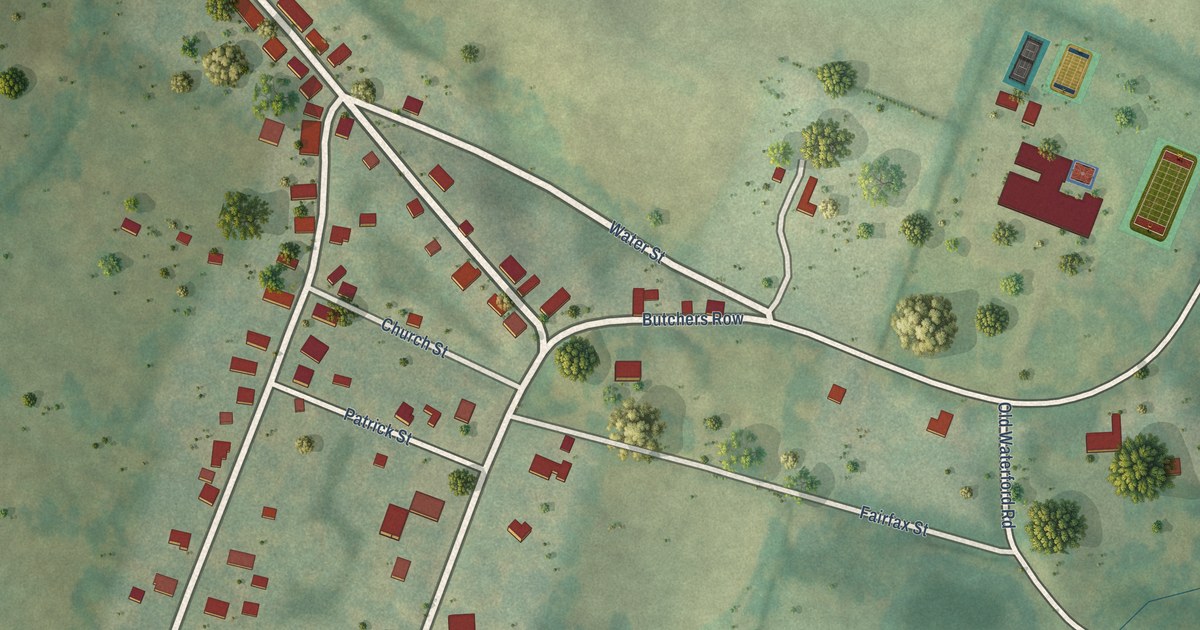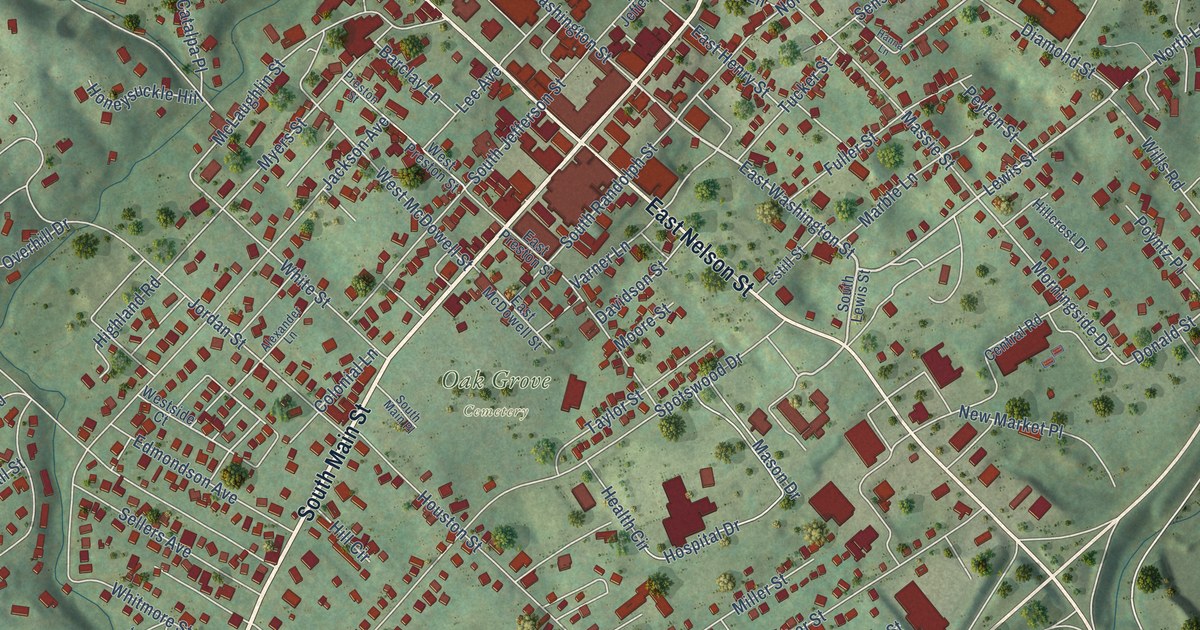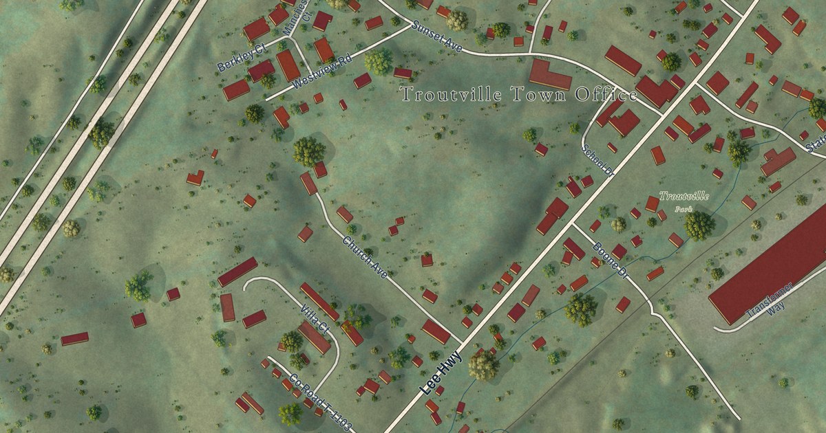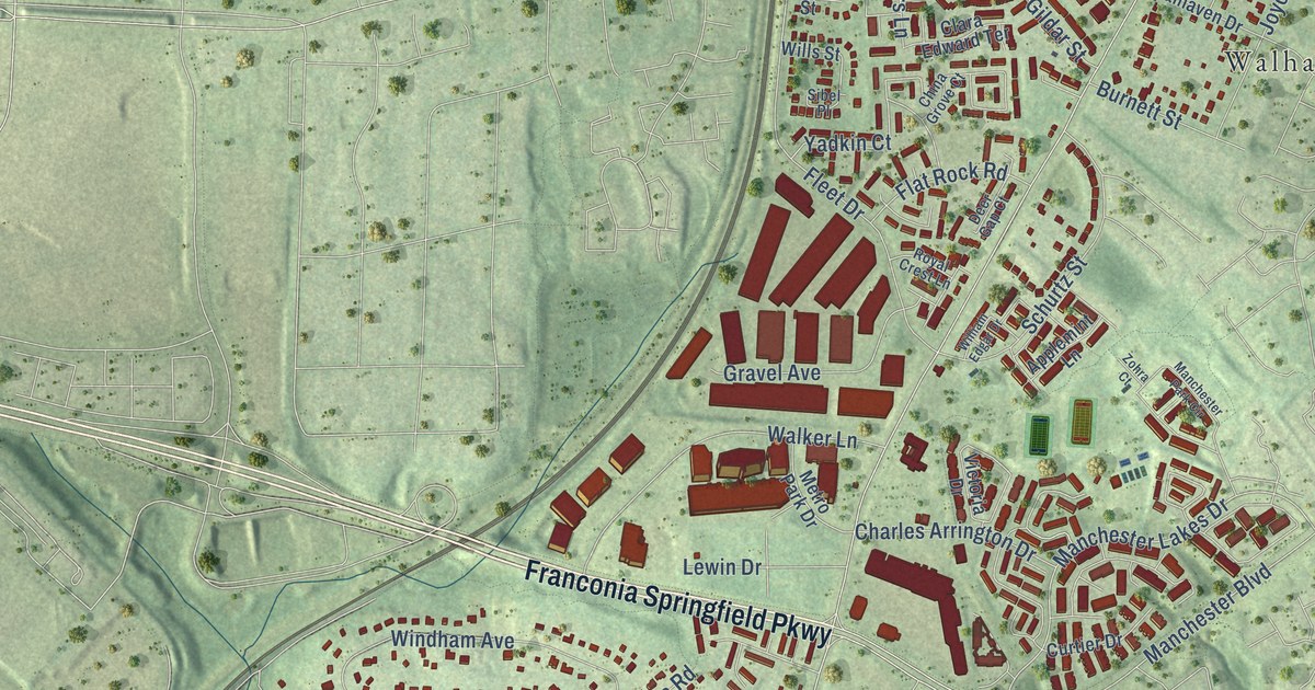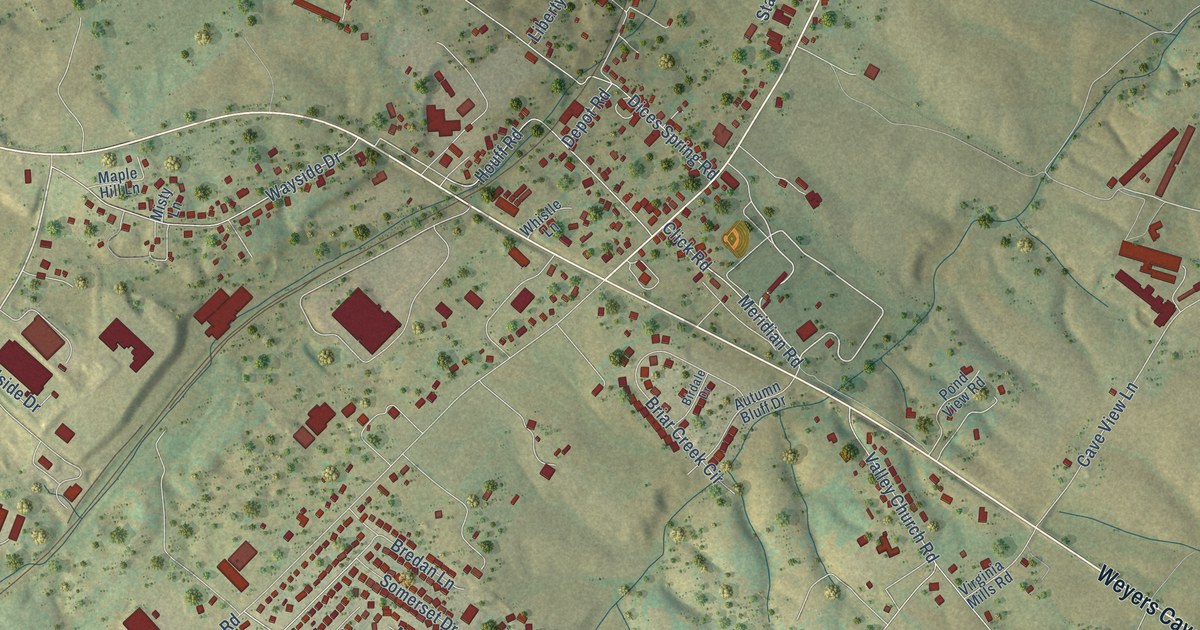
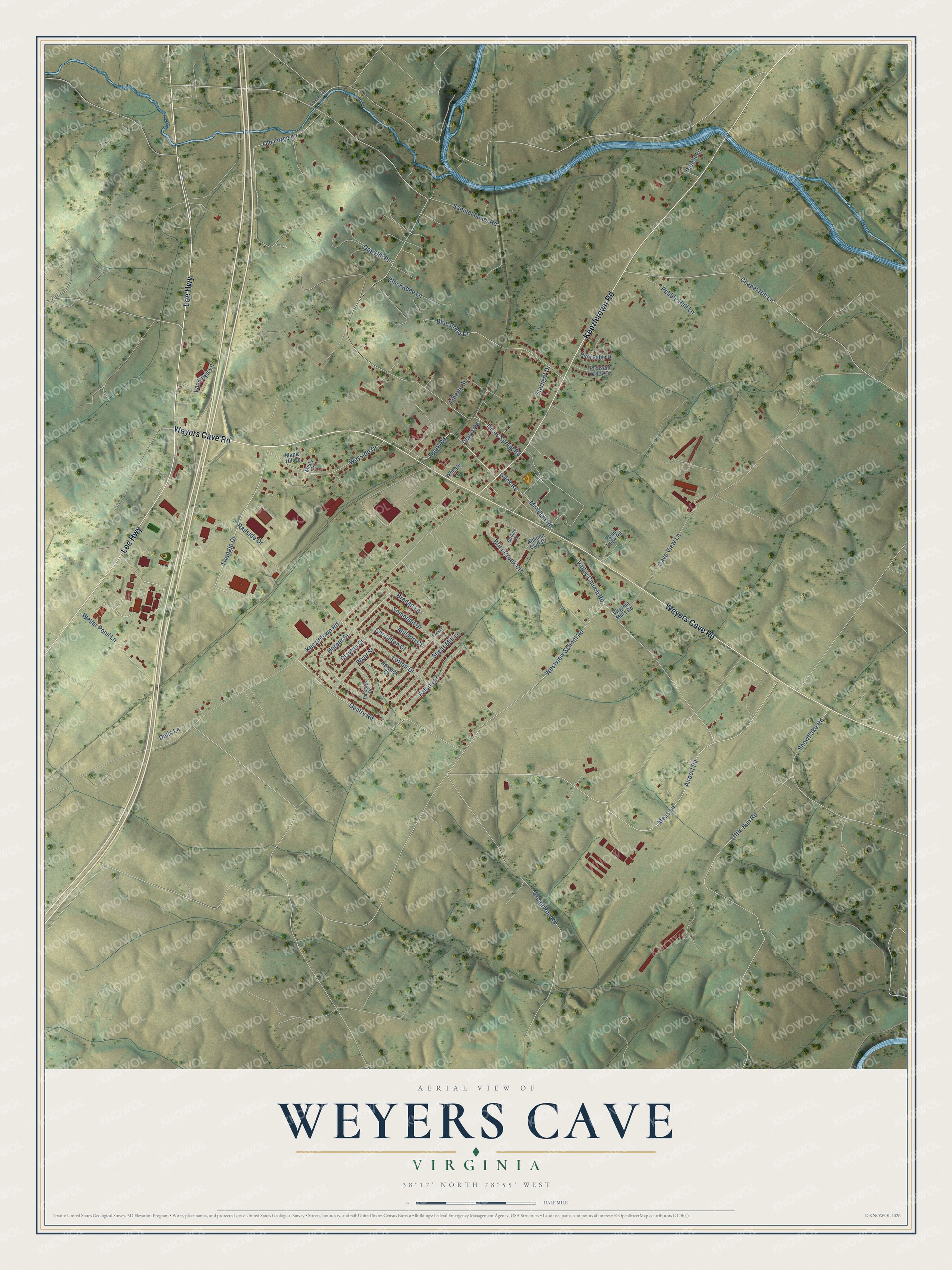
This beautifully detailed map of Weyers Cave, Virginia was created in 2026 using aerial imagery combined with modern topographical, census, street and landmark data. It's a modern aerial view of Weyers Cave in Augusta County, Virginia, that combines modern data with a vintage aesthetic. The roads feature printed names, and if you look closely you can find your exact house accurately shown in its correct location.
Explore an aerial view of Weyers Cave, Virginia
On this map you'll find Weyers Cave Road, Keezletown Road, Lee Highway, Triangle Drive, Lofton Drive, Airport Road, Depot Road, Meridian Road, Dices Spring Road, Cave View Lane, Chapel Hill Lane, Broad Run Road, and more. Each red shape is a building, so zoom in on the preview and look for yours.
Here is a piece of Weyers Cave history, in the words of the record. The Alliance for the Shenandoah Valley puts it this way: "In 1927, 28 students at Weyers Cave High school, under the direction of agriculture teacher E.B. Craun, formed FFV chapter No. 1 with students in the agriculture class." FFV was the Future Farmers of Virginia. A historical highway marker near Weyers Cave commemorates the forming of that first chapter.
Weyers Cave is a community in Augusta County. The Census Bureau counted 2,700 people here in 2020.
Take a closer look at the Weyers Cave map
Names on this map
These names are printed on this map.
Streets and roads: Weyers Cave Road, Keezletown Road, Lee Highway, Triangle Drive, Lofton Drive, Airport Road, Depot Road, Meridian Road, Dices Spring Road, Cave View Lane, Chapel Hill Lane, Broad Run Road.
More street names, A to Z
Autumn Bluff Drive, Birdale Drive, Blue Ridge Drive, Bluestone Drive, Bredan Lane, Briar Creek Circle, Carrollton Court, Chickadee Lane, Clayton Court, Click Road, Danforth Drive, Dells Lane, Falcon Lane, Foxhall Lane, Gentry Road, Greenhouse Road, Harper Street, Houff Road, Landings Lane, Liberty Street, Little Run Road, Maple Hill Lane, Millport Court, Misty Lane, Moss Lane, Norwick Court, Oak Hill Place, Old Forge Lane, Pebble Hall Lane, Pence Lane, Pleasant Valley Drive, Pond View Road, Railside Drive, Samuel Bears Road, Snowflake Road, Somerset Drive, Starlight Drive, Sugar Mill Lane, Valley Church Road, Virginia Mills Road, Wayside Drive, Weller Pond Lane, Westview School Road, Whistle Lane, Wyer Street.
See it on a wall
The Weyers Cave map as a framed print. Swipe for more.


Created by KNOWOL in 2026. The buildings are small red shapes, the roads carry their printed names, and shaded relief shows the shape of the land. The title panel reads "AERIAL VIEW OF WEYERS CAVE, VIRGINIA" with 38°17' NORTH 78°55' WEST.
It suits a den, a classroom or a front hall, and it makes a gift for anyone with Weyers Cave roots. Open the preview and find the block you know. See sizes and frames for the Weyers Cave map.