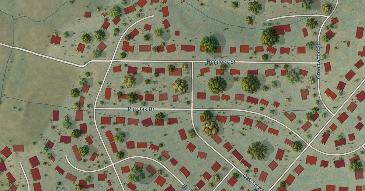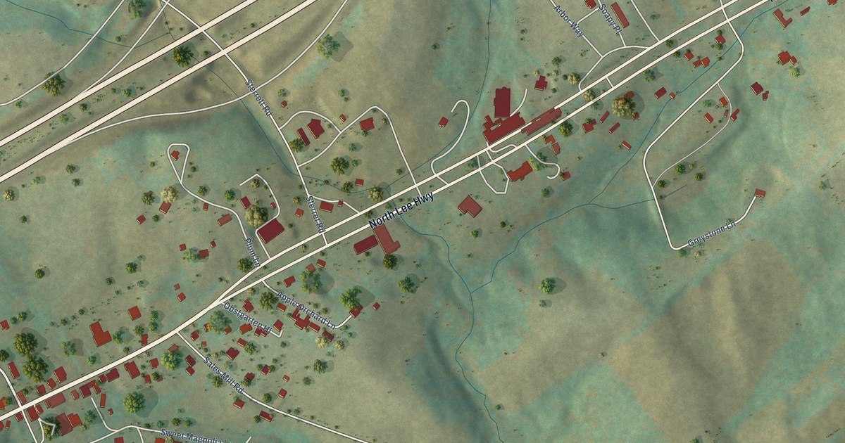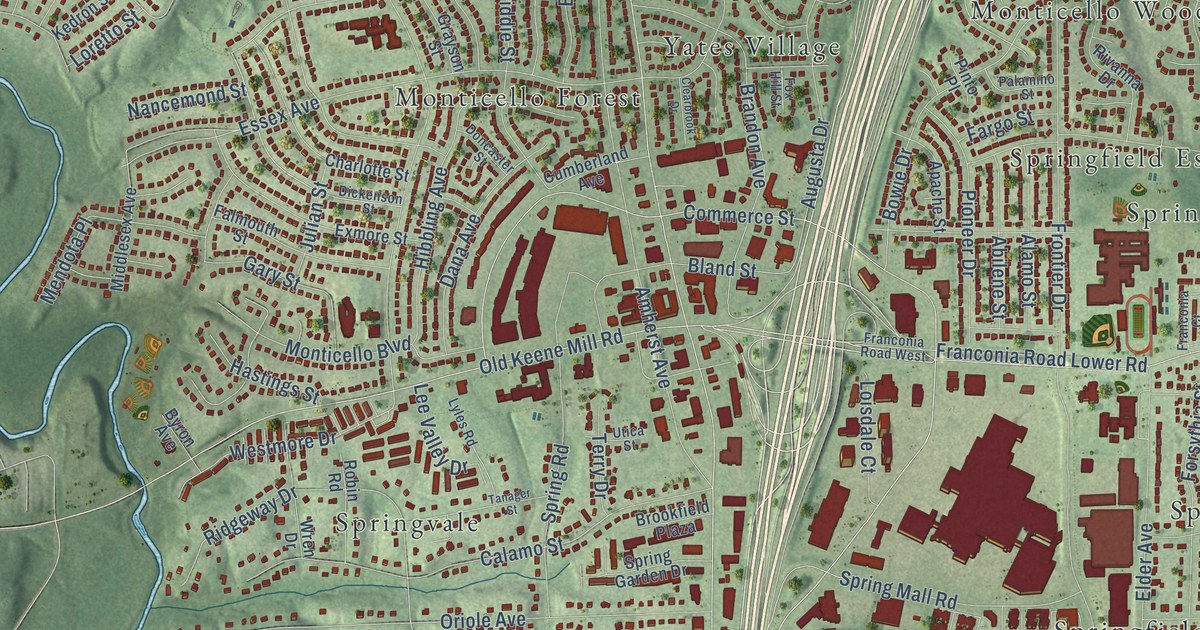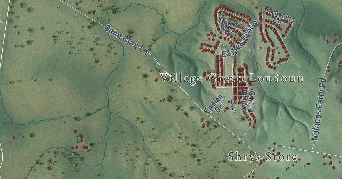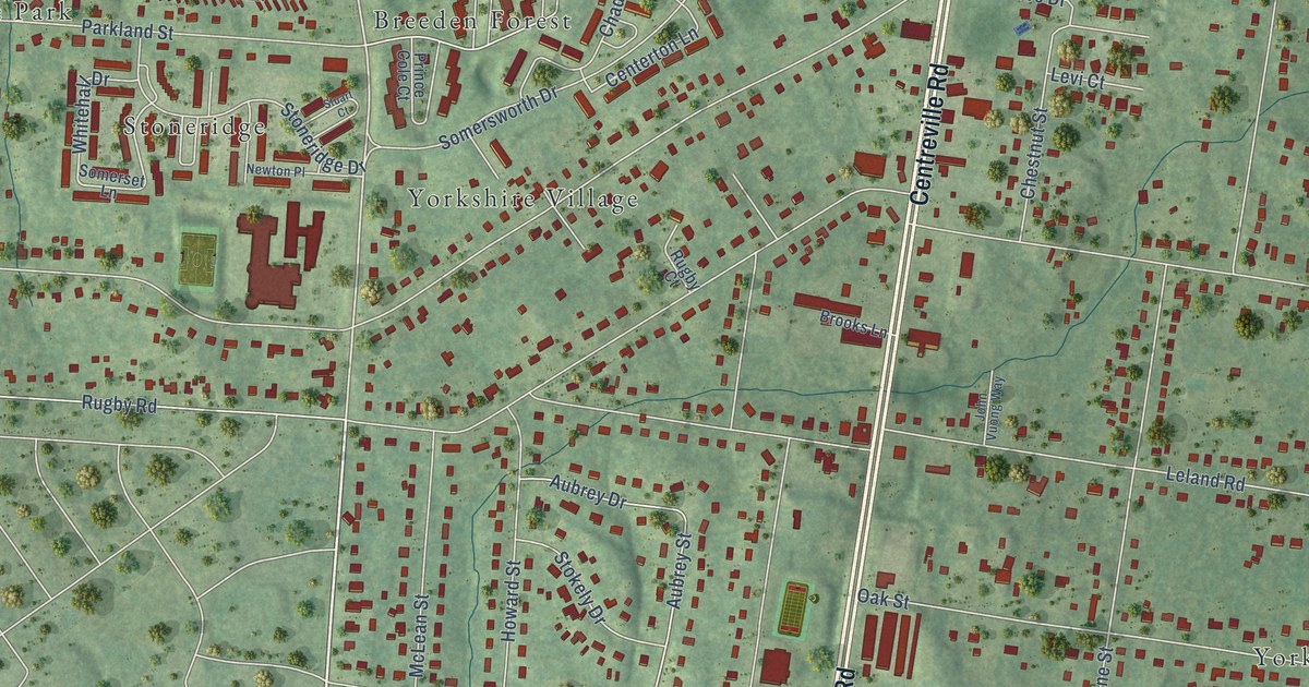
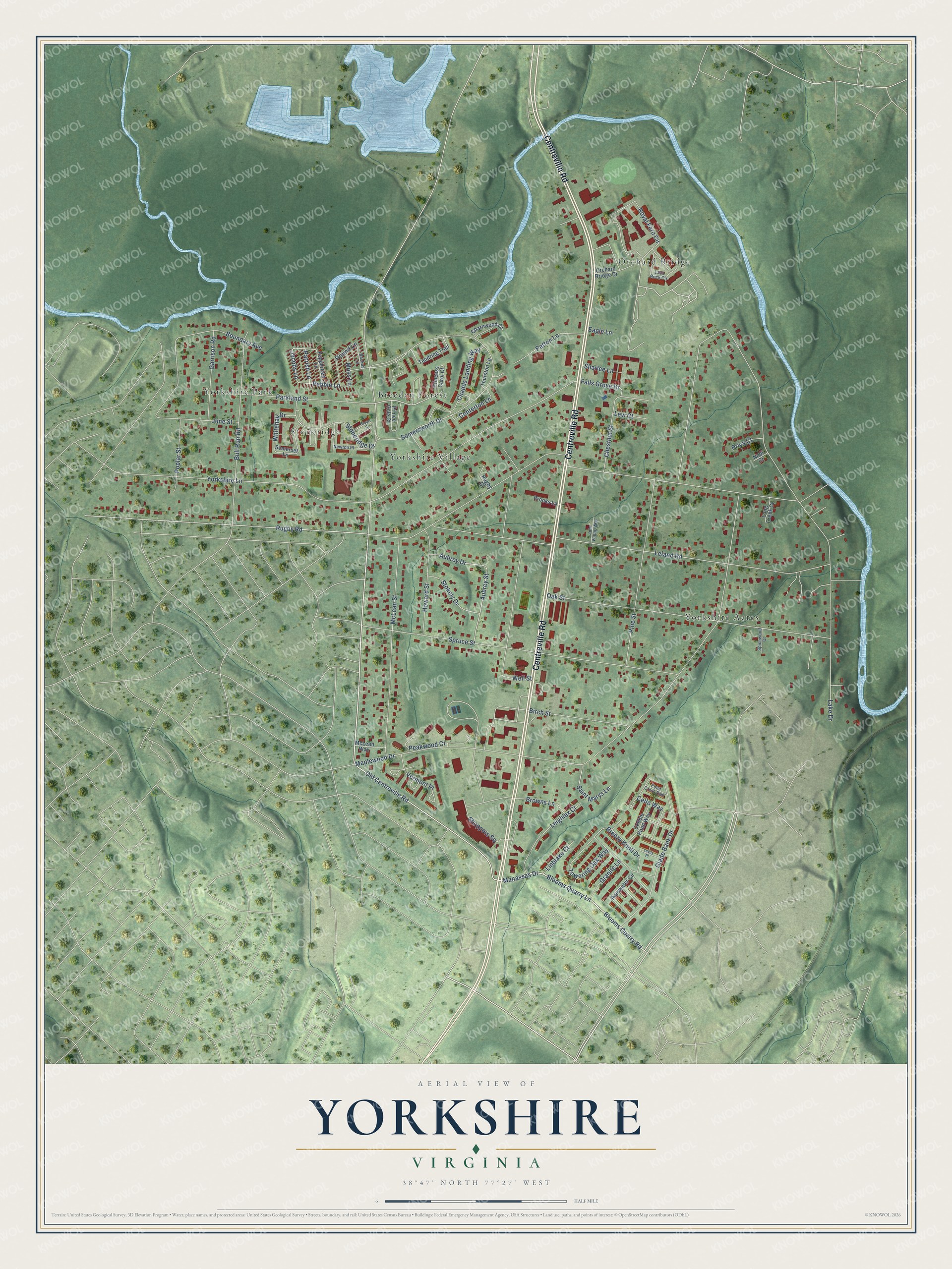
This beautifully detailed map of Yorkshire, Virginia was created in 2026 using aerial imagery combined with modern topographical, census, street and landmark data. It’s a one-of-a-kind view of Yorkshire that combines accurate data with a vintage aesthetic. The map shows every building in its true location, many of the roads carry their names, and the shaded topographic relief shows the shape of the land.
Explore an aerial view of Yorkshire, Virginia
On the map you’ll find Breeden Forest, Orchard Bridge, Stoneridge, Yorkshire Acres, Yorkshire Park, and Yorkshire Village, along with Centreville Road, Blooms Quarry Lane, Blooms Quarry Road, Manassas Drive, Old Centreville Road, Jacobs Lane, and more. If you look closely you can even find your house accurately drawn in its correct location. Zoom in on the preview to look for yours.
Did you know this piece of Yorkshire, Virginia history?
From Historic Prince William: "This property was part of the Yorkshire tract, patented in 1729 by Mary Chilton and later owned by Colonel Richard Blackburn."
Take a closer look at the Yorkshire map
Street and place names on the Yorkshire, Virginia map
These names are printed on the map of Yorkshire, Virginia.
Places: Breeden Forest, Orchard Bridge, Stoneridge, Yorkshire Acres, Yorkshire Park and Yorkshire Village.
Streets and roads: Centreville Road, Blooms Quarry Lane, Blooms Quarry Road, Manassas Drive, Old Centreville Road, Jacobs Lane, Centerton Lane, Pebble Lane, Rugby Road, Maplewood Drive, Yorkshire Lane, Leland Road.
More street names, A to Z
Aubrey Drive, Aubrey Street, Backus Lane, Birch Street, Boundary Avenue, Breezy Knoll Drive, Brooks Lane, Browns Lane, Bull Run Road, Cello Way, Chadds Landing Way, Charnwood Court, Chestnut Street, Cobble Pond Way, Eagle Lane, Falls Grove Drive, Garrison Road, Glade Bank Drive, Granite Lane, Howard Street, John Vuong Way, June Street, Lake Drive, Lava Rock Circle, Leighlex Court, Levi Court, Levity Place, Linblake Court, Long Creek Court, McLean Street, McLean Way, Moss Lane, Newton Place, Nodi Court, Oak Street, Orchard Bridge Drive, Parkland Street, Parrish Lane, Patton Lane, Peakwood Court, Peppertree Lane, Pine Street, Pond Crest Trail, Poplar Street, Prince Cole Court, Princess Carol Court, Priya Court, Rainwater Circle, Round Lane, Royal Fern Circle, Rugby Court, Saint Marys Lane, Sharlee Lane, Shoppers Square, Somerset Lane, Somersworth Drive, Spicewood Court, Spruce Street, Stokely Drive, Stoneridge Drive, Stuart Court, Tendring Trail, Thurston Lane, Towering Oak Way, Vermont Place, Well Street, Whitehall Drive.
See the Yorkshire, Virginia map on a wall
The Yorkshire map as an 18 x 24 inch print in a black frame.

This beautifully detailed map of Yorkshire makes an attractive addition to your office, library, or den, and it can even be used to teach children the geography and history of the area. It also makes a great gift for someone who left Yorkshire and still calls it home. When you’re done exploring, click here to get your copy of the Yorkshire map.