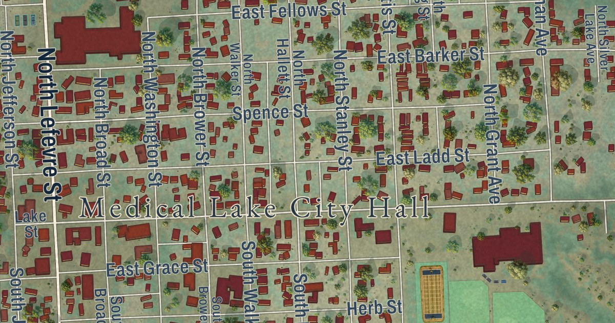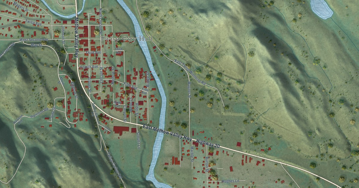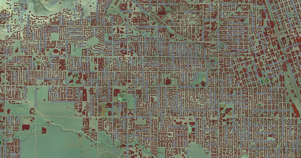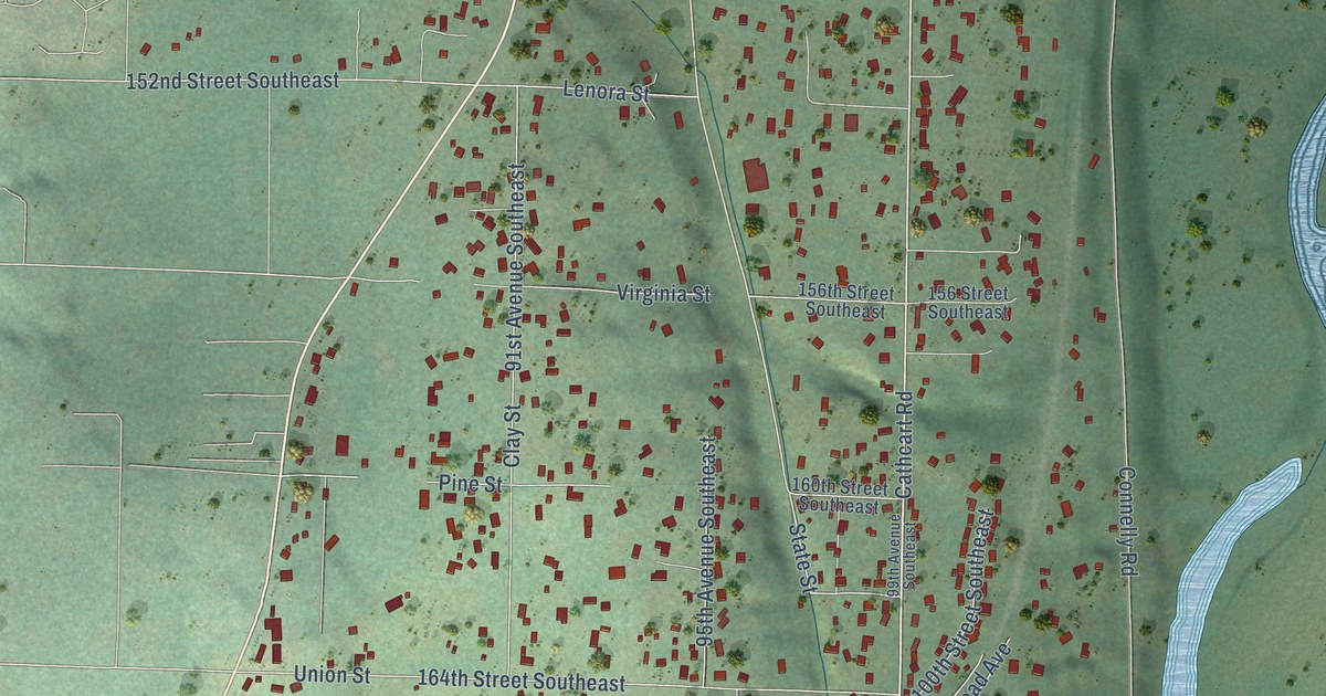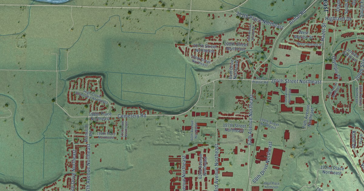
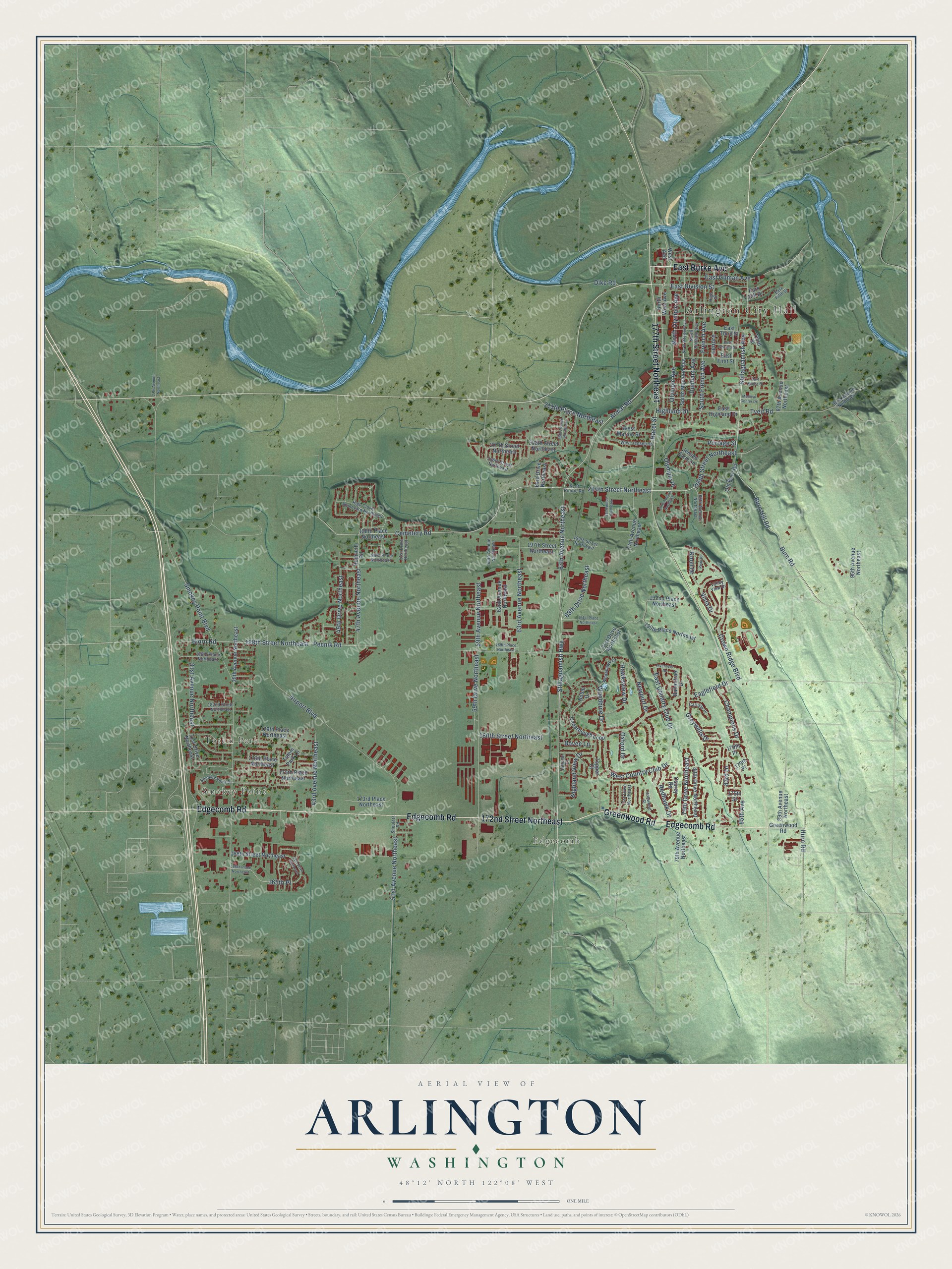
This beautifully detailed map of Arlington, Washington was created in 2026 using aerial imagery combined with modern topographical, census, street and landmark data. It’s a one-of-a-kind view of Arlington that combines accurate data with a vintage aesthetic. The map shows every building in its true location, many of the roads carry their names, and the shaded topographic relief shows the shape of the land.
Explore an aerial view of Arlington, Washington
On the map you’ll find Arlington City Hall, Smokey Point, Totem Park, and Edgecomb, along with 172nd Street Northeast, Edgecomb Road, Greenwood Road, 177th Street Northeast, East Burke Avenue, 67th Avenue Northeast, Stillaguamish Highway, 204th Street Northeast, and more. If you look closely you can even find your house accurately drawn in its correct location. Zoom in on the preview to look for yours.
Did you know this piece of Arlington, Washington history?
From HistoryLink.org: "Arlington began at the forks of the Stillaguamish River in 1890, but this was not the first habitation there."
Take a closer look at the Arlington map
Street and place names on the Arlington, Washington map
These names are printed on the map of Arlington, Washington.
Places: Arlington City Hall, Smokey Point, Totem Park and Edgecomb.
Streets and roads: 172nd Street Northeast, Edgecomb Road, Greenwood Road, 177th Street Northeast, East Burke Avenue, 67th Avenue Northeast, Stillaguamish Highway, 204th Street Northeast, Cemetery Road, Stillaguamish Avenue, Armar Road, Burn Hill Road.
More street names, A to Z
27th Avenue Northeast, 31st Avenue Northeast, 31st Drive Northeast, 35th Avenue Northeast, 41st Drive Northeast, 43rd Avenue Northeast, 45th Drive Northeast, 47th Avenue Northeast, 51st Avenue Northeast, 51st Drive Northeast, 59th Avenue Northeast, 59th Drive Northeast, 60th Avenue Northeast, 62nd Avenue Northeast, 63rd Avenue Northeast, 64th Drive Northeast, 66th Avenue Northeast, 68th Drive Northeast, 71st Avenue Northeast, 71st Drive Northeast, 73rd Drive Northeast, 74th Avenue Northeast, 77th Avenue Northeast, 79th Avenue Northeast, 79th Drive Northeast, 80th Avenue Northeast, 80th Drive Northeast, 83rd Drive, 85th Avenue, 87th Avenue Northeast, 89th Avenue Northeast, 92nd Avenue Northeast, 95th Avenue Northeast, 165th Place, 166th Place Northeast, 168th Street Northeast, 173rd Place Northeast, 175th Place Northeast, 175th Street, 176th Place Northeast, 178th Place, 179th Place, 179th Place Northeast, 180th Street Northeast, 182nd Street Northeast, 186th Place Northeast, 188th Street Northeast, 189th Place Northeast, 190th Place Northeast, 191st Place Northeast, 192nd Place Northeast, 196th Place Northeast, 197th Street Northeast, 198th Place Northeast, 199th Street Northeast, 206th Street Northeast, 207th Street Northeast, 208th Street Northeast, 209th Street Northeast, 211th Place Northeast, Airport Boulevard, Ballantrae Drive, Bjorn Road, Bovee Lane, Burn Road, Carlisle Place, Cedarbough Loop, Champions Drive, Crown Ridge Boulevard, Dike Road, Dunham Avenue, Eaglefield Drive, East Country Club Drive, East Division Street, East Fifth Street, East First Street, East Gilman Avenue, East Highland Drive, East Maple Street, East Second Street, East Third Street, French Avenue, Greywalls Drive, Hawksview Drive, Hazel Street, High Clover Boulevard Northeast, Highland Drive, Highland View Drive, High Street, Hillside Court, Hurn Road, Inverness Drive, Ironwood Street, Jensen Farm Lane, Kent Prairie Road, Knoll Drive, Lenore, Medical Center Drive, Newport Drive, Noble Drive, North Dunham Avenue, North Macleod Avenue, North Olympic Avenue, North West Avenue, Old Burn Road, Olympic Avenue, Olympic Place, Osprey Road, Oxford Drive, Park Hill Drive, Peak Place, Pecnik Road, Portage Street, Redhawk Drive, Reinseth Road, Shoulets Road, Smokey Point Boulevard, Smokey Point Drive, South French Avenue, South Macleod Avenue, Third Street, Topper Court, Totem Park Lane, Tveit Road, Valley View Drive, Vista Drive, West Avenue, West Country Club Drive, West Jensen Street, West Marion Street, Whitehawk Drive, Woodbine Drive.
See the Arlington, Washington map on a wall
The Arlington map as an 18 x 24 inch print in a black frame.

This beautifully detailed map of Arlington makes an attractive addition to your office, library, or den, and it can even be used to teach children the geography and history of the area. It also makes a great gift for someone who left Arlington and still calls it home. When you’re done exploring, click here to get your copy of the Arlington map.