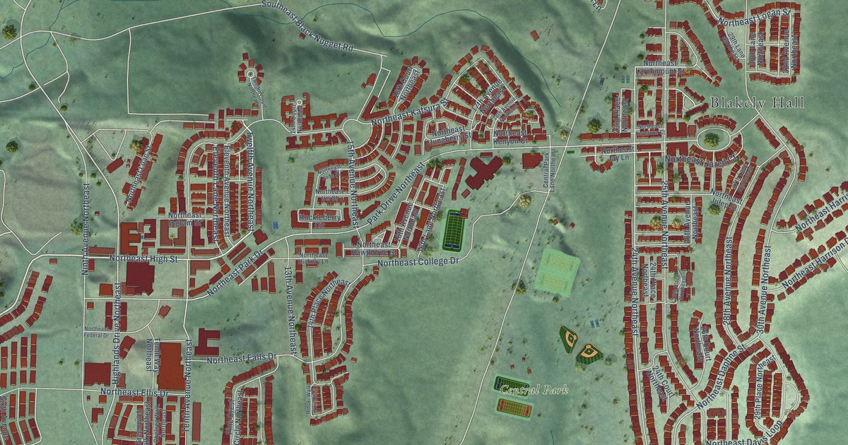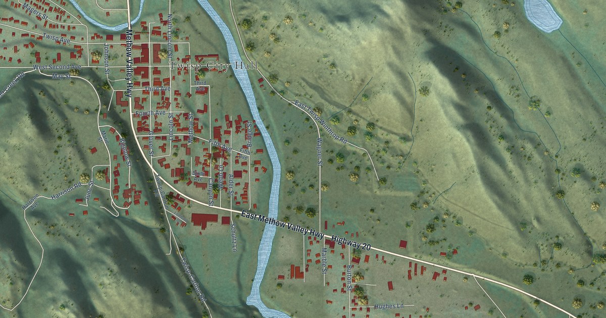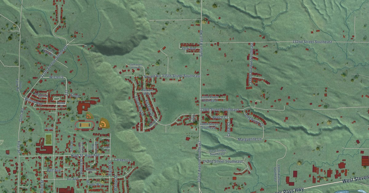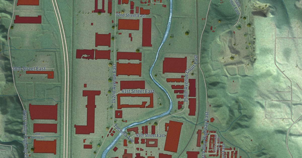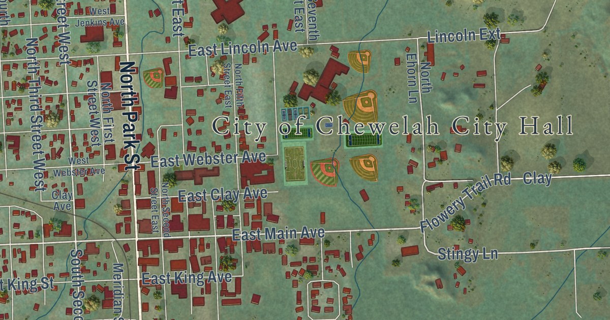
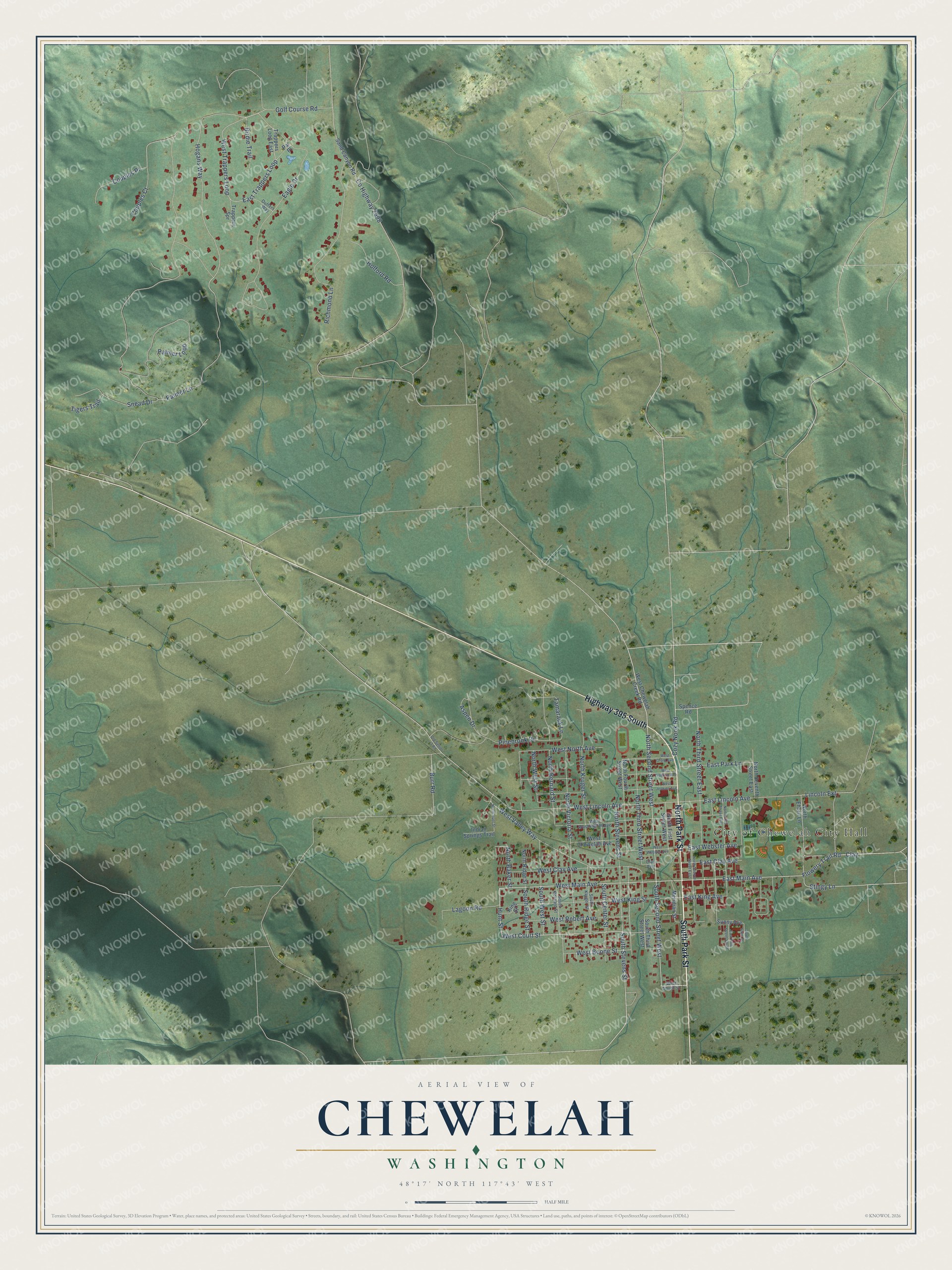
This beautifully detailed map of Chewelah, Washington was created in 2026 using aerial imagery combined with modern topographical, census, street and landmark data. It’s a one-of-a-kind view of Chewelah that combines accurate data with a vintage aesthetic. The map shows every building in its true location, many of the roads carry their names, and the shaded topographic relief shows the shape of the land.
Explore an aerial view of Chewelah, Washington
On the map you’ll find City of Chewelah City Hall, along with South Park Street, North Park Street, Highway 395 South, West Main Avenue, East Main Avenue, South Second Street West, North Second Street West, Hunt Street, West Court Street, Stingy Lane, South Stevens Street, and more. If you look closely you can even find your house accurately drawn in its correct location. Zoom in on the preview to look for yours.
Did you know this piece of Chewelah, Washington history?
From the 2024 HistoryLink.org essay: "Chewelah’s greatest economic boosts came in 1889 with the arrival of railroad service and in 1916 with a decades-long magnesite boom."
Take a closer look at the Chewelah map
Street and place names on the Chewelah, Washington map
These names are printed on the map of Chewelah, Washington.
Places: City of Chewelah City Hall.
Streets and roads: South Park Street, North Park Street, Highway 395 South, West Main Avenue, East Main Avenue, South Second Street West, North Second Street West, Hunt Street, West Court Street, Stingy Lane, South Stevens Street, Flowery Trail Road.
More street names, A to Z
Aspen Drive, Birdie Trail, Burr Road, Clay, Clay Avenue, County Highway 2998, Couples Court, Couples Place, Cozy Nook Road, Duffers Way, Eagle Drive, East Clay Avenue, East Fifth Street South, East King Avenue, East Lincoln Avenue, East Park Lane, East Trappers Loop, East Webster Avenue, Golf Course Road, Hogans Way, Holford Road, Indian Springs Trail, King Street, Lagoon Road, Lincoln Extension, Meridian Street, North Baker Street, North Bernard Street, North Ehorn Lane, North Fifth Street East, North First Street West, North Fourth Street West, North Hunt Street, North Kruger Street, North Ridge Street, North Second Street East, North Seventh Street East, North Stevens Street, North Third Street East, North Third Street West, North Victoria Street, North West Street, Old Senior 3 Road, Palmer Lane, Palmer Loop, Par Place, Pinebrook Drive, Richmond Lane, Sand Canyon Road, Snead Drive, South Bernard Street, South Center Street, South Kruger Street, South Ridge Street, South Sixth Street, South Third Street West, South West Street, Spence Road, Sunny Avenue, Tamarack Lane, Tigers Trail, Trappers Loop East, Trappers Spr, West Boone Street, West Chewelah Avenue, West Chewelah Creek Road, West Clay Avenue, West Franklin Avenue, West Grant Avenue, West Jenkins Avenue, West King Street, West Lincoln Avenue, West North Avenue, West Robert Avenue, West South Street, West Trappers Loop, West Valley Way, West Washington Avenue, West Webster Avenue.
See the Chewelah, Washington map on a wall
The Chewelah map as an 18 x 24 inch print in a black frame.

This beautifully detailed map of Chewelah makes an attractive addition to your office, library, or den, and it can even be used to teach children the geography and history of the area. It also makes a great gift for someone who left Chewelah and still calls it home. When you’re done exploring, click here to get your copy of the Chewelah map.