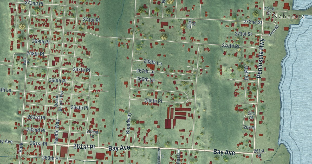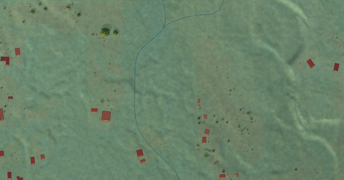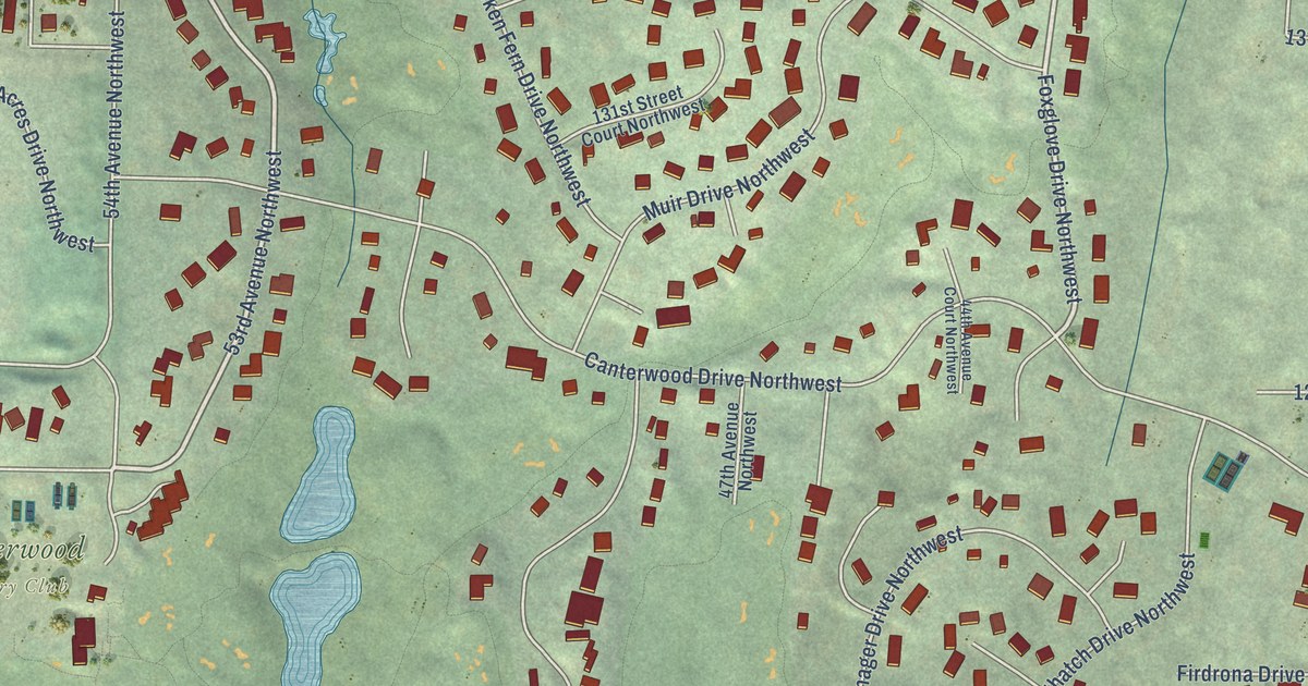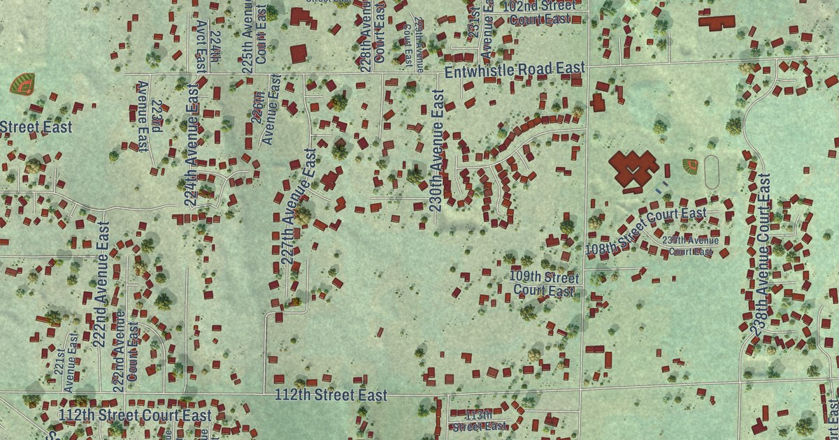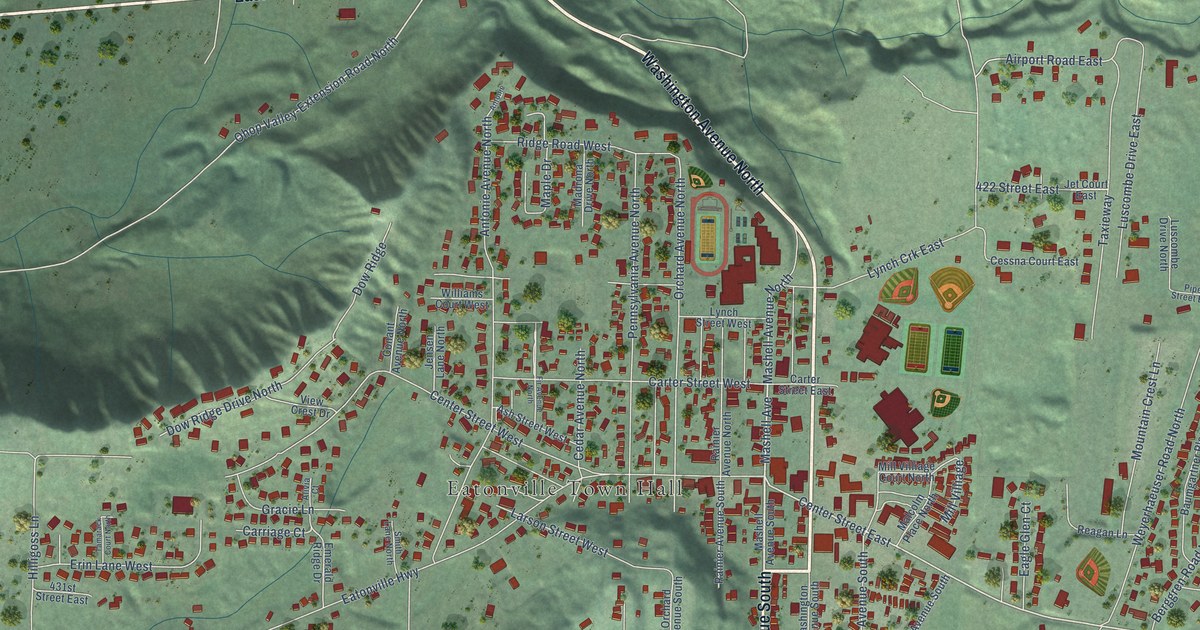
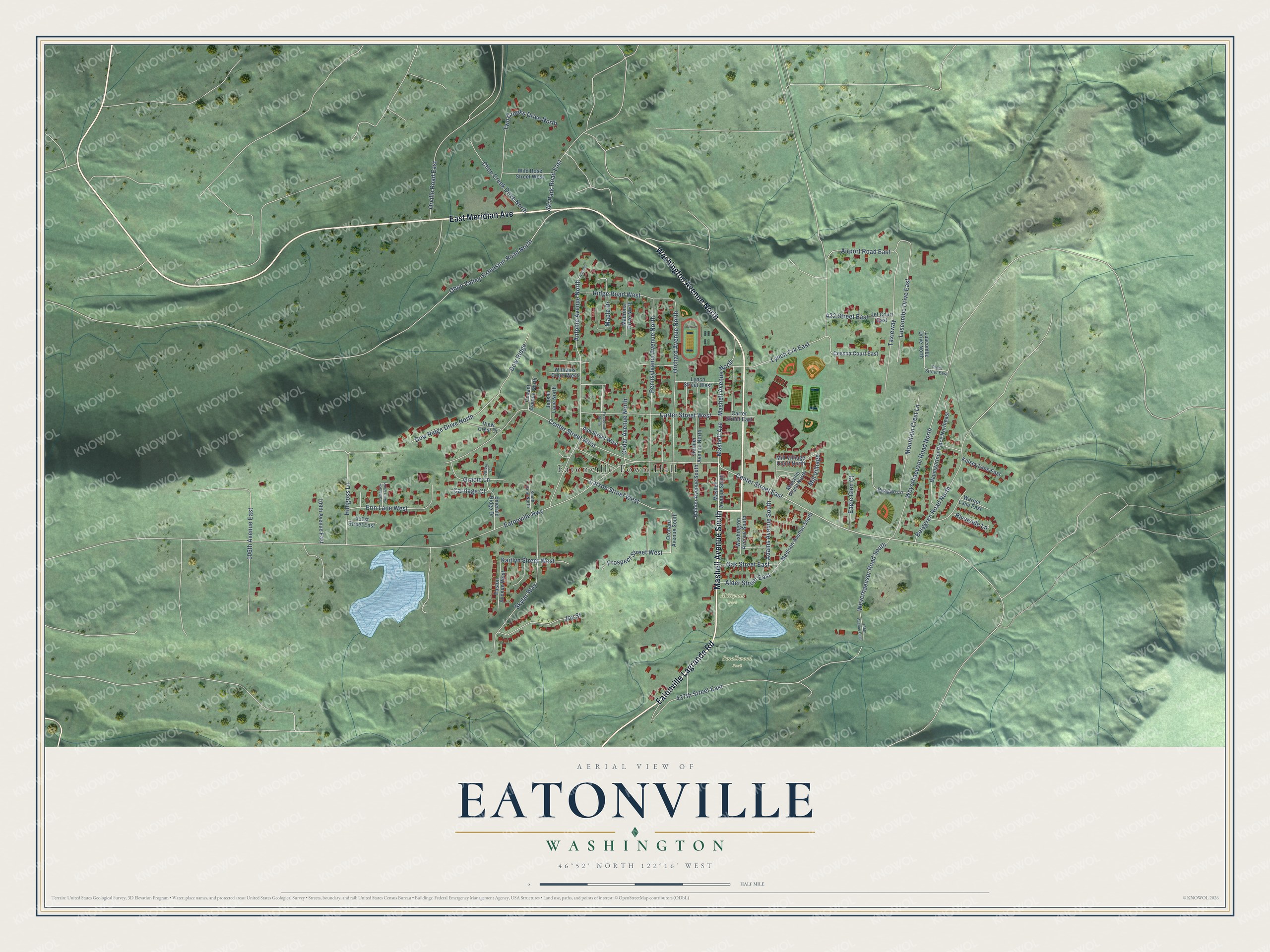
This beautifully detailed map of Eatonville, Washington was created in 2026 using aerial imagery combined with modern topographical, census, street and landmark data. It’s a one-of-a-kind view of Eatonville that combines accurate data with a vintage aesthetic. The map shows every building in its true location, many of the roads carry their names, and the shaded topographic relief shows the shape of the land.
Explore an aerial view of Eatonville, Washington
On the map you’ll find Eatonville Town Hall, Smallwood Park, and Millpond Park, along with Washington Avenue North, East Meridian Avenue, Mashell Avenue South, Eatonville Lagrande Road, Mashell Avenue, Ohop Valley-Extension Road North, Center Street East, Airport Road East, Orchard Avenue North, and more. If you look closely you can even find your house accurately drawn in its correct location. Zoom in on the preview to look for yours.
Did you know this piece of Eatonville, Washington history?
From the History of Pierce County: "The third town in Pierce County to vote for incorporation under state laws during the year 1909 was that of Eatonville."
Take a closer look at the Eatonville map
Street and place names on the Eatonville, Washington map
These names are printed on the map of Eatonville, Washington.
Places: Eatonville Town Hall, Smallwood Park and Millpond Park.
Streets and roads: Washington Avenue North, East Meridian Avenue, Mashell Avenue South, Eatonville Lagrande Road, Mashell Avenue, Ohop Valley-Extension Road North, Center Street East, Airport Road East, Orchard Avenue North, Eatonville Highway, Center Street West, Lynch Crk East.
More street names, A to Z
106th Avenue East, 109th Avenue East, 135th Avenue East, 422 Street East, 431st Street East, 437th Street East, Adams Avenue South, Alder Street East, Alivia Court, Antonie, Antonie Avenue North, Ash Street West, Baumgartner Place Northeast, Berggren Road North, Carriage Court, Carter Street East, Carter Street West, Cedar Avenue North, Cessna Court East, Chop Creek Drive North, Conant Avenue North, Dow Ridge, Dow Ridge Drive North, Eagle Glen Court, Easton Avenue West, Emerald Ridge Drive, Erin Lane West, Fir Avenue North, Gracie Lane, Hilligoss Lane, Jensen Lane North, Jet Court East, Joy Street, Kaitlyn Street West, Kelsey Lane East, Larson Street West, Luscombe Drive East, Luscombe Drive North, Lynch Street West, Madison Avenue South, Madrona Drive North, Malcolm Place North, Maple Drive, Mashell Avenue North, Mill Villiage, Mill Villiage Court North, Mountain Crest Lane, Oak Street East, Orchard Avenue South, Orville Road East, Pennsylvania Avenue North, Piper Street East, Prospect Street West, Rainier Avenue North, Rainier Avenue South, Reagan Lane, Ridge Road West, Riverside Lane, Ski Park Road East, Skylar Way, Smith Lane North, Tamarack Court North, Taxieway, Two Creeks Drive North, View Crest Drive, Warner Lane East, Washington Avenue South, Weyerhaeuser Road North, Weyerhaeuser Road South, Wild Rose Street West, Williams Court West.
See the Eatonville, Washington map on a wall
The Eatonville map as an 18 x 24 inch print in a black frame.

This beautifully detailed map of Eatonville makes an attractive addition to your office, library, or den, and it can even be used to teach children the geography and history of the area. It also makes a great gift for someone who left Eatonville and still calls it home. When you’re done exploring, click here to get your copy of the Eatonville map.