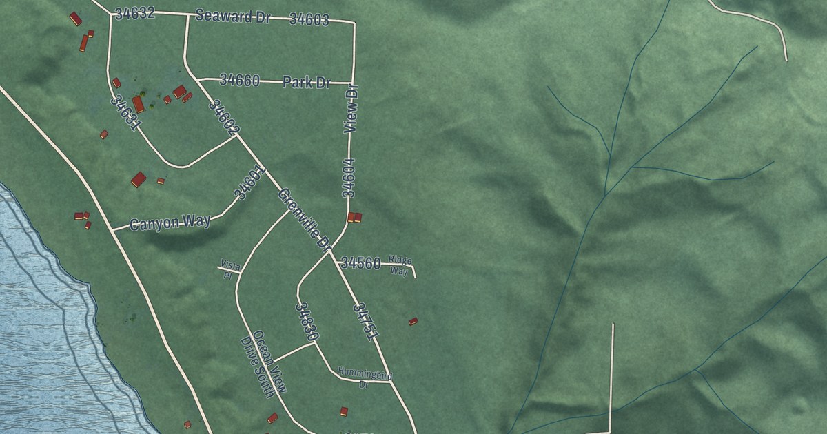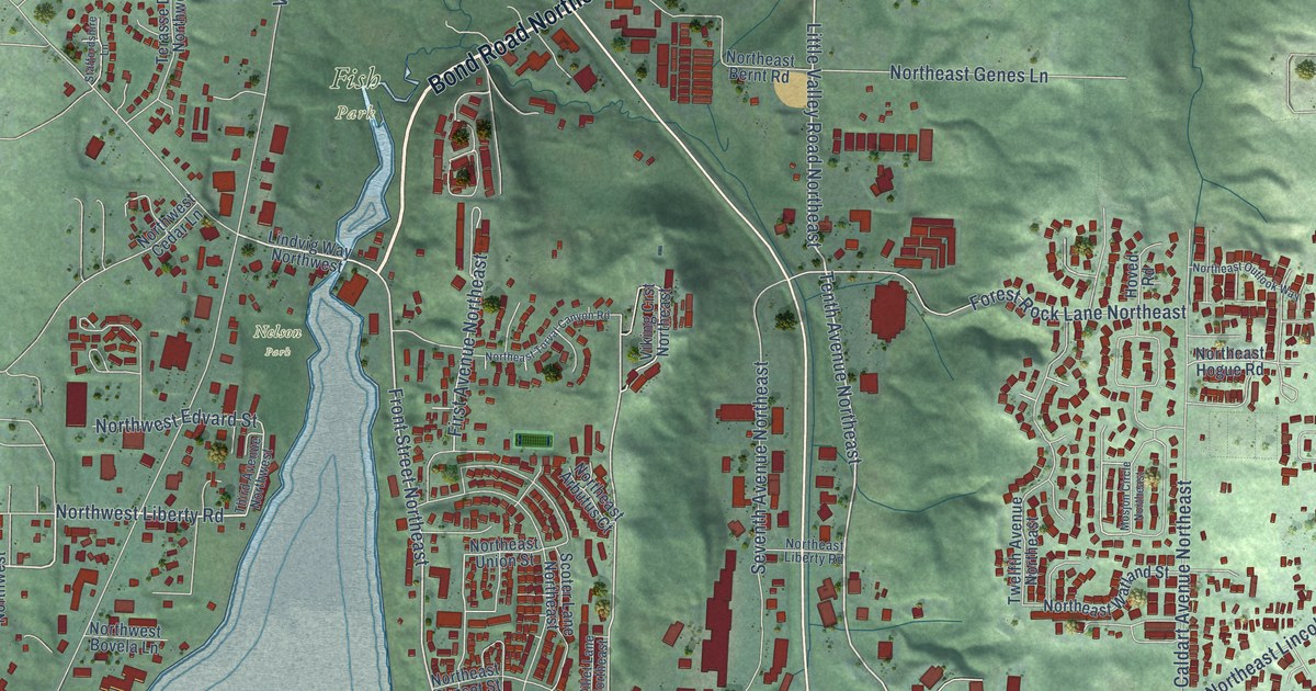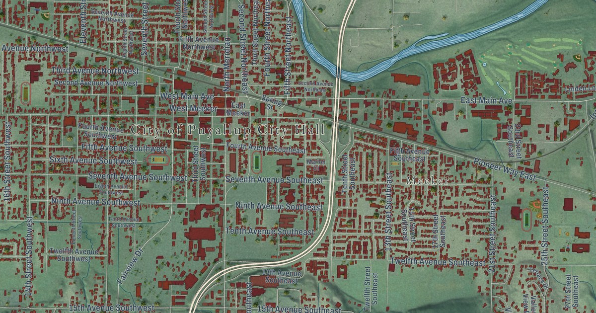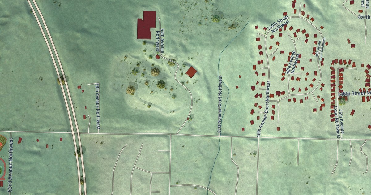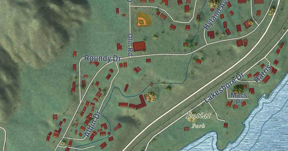
This beautifully detailed map of Entiat, Washington was created in 2026 using aerial imagery combined with modern topographical, census, street and landmark data. It’s a one-of-a-kind view of Entiat that combines accurate data with a vintage aesthetic. The map shows every building in its true location, many of the roads carry their names, and the shaded topographic relief shows the shape of the land.
Explore an aerial view of Entiat, Washington
On the map you’ll find Entiat Park, along with Lakeshore Drive, Shearson Street, North Lake Shore Road, Hedding Street, Hillcrest Drive, Two Rivers Road, Burkey Street, Crum Canyon Road, Dick Ranch Road, Entiat Way, Olin Street, and more. If you look closely you can even find your house accurately drawn in its correct location. Zoom in on the preview to look for yours.
Did you know this piece of Entiat, Washington history?
Entiat has stood on three town sites. Fire razed the first town in 1921, and residents moved to a second site. When Rocky Reach Dam was built downriver in 1960, rising water forced much of the town to higher ground. The third Entiat opened for business in 1961.
Take a closer look at the Entiat map
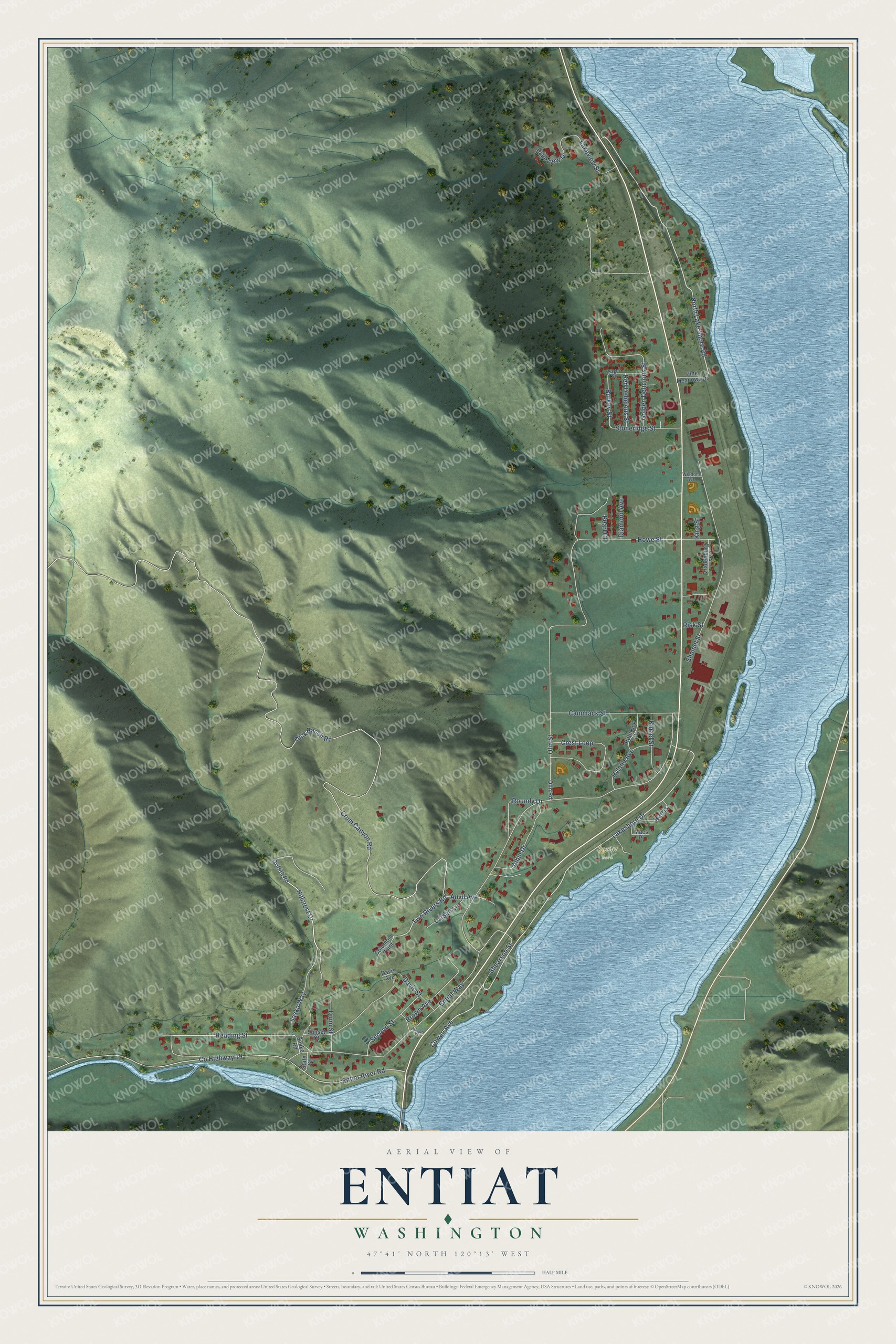
Street and place names on the Entiat, Washington map
These names are printed on the map of Entiat, Washington.
Places: Entiat Park.
Streets and roads: Lakeshore Drive, Shearson Street, North Lake Shore Road, Hedding Street, Hillcrest Drive, Two Rivers Road, Burkey Street, Crum Canyon Road, Dick Ranch Road, Entiat Way, Olin Street, County Highway 19.
More street names, A to Z
Albin Drive, Auvil Avenue, Brown Avenue, Cammack Street, Columbia Point, Cowan Avenue, Crest Loop, Davis Avenue, Davis Street, Diamond Avenue, Dunn Street, Entiat River Road, Golden Delicious Street, Griffith Road, Hagen Street, Harris, Howe Street, Hyland Avenue, King Street, Kinzel Street, Lakeview Drive, Lakeview Street, Larsen Lane, Macs Place, Olin Road, Pearl Court, Pine Meadows Drive, Red Delicious Street, Risk Street, Rothrock Drive, Roundy Drive, Sage Street, Saska Way, Second Street, Shamel Street, Snake Road, State Street, Stoneridge Street, Sunset Court, Vradenburg Street, Wisdom Avenue.
See the Entiat, Washington map on a wall
The Entiat map as an 18 x 24 inch print in a black frame.

This beautifully detailed map of Entiat makes an attractive addition to your office, library, or den, and it can even be used to teach children the geography and history of the area. It also makes a great gift for anyone with Entiat roots. When you’re done exploring, click here to get your copy of the Entiat map.