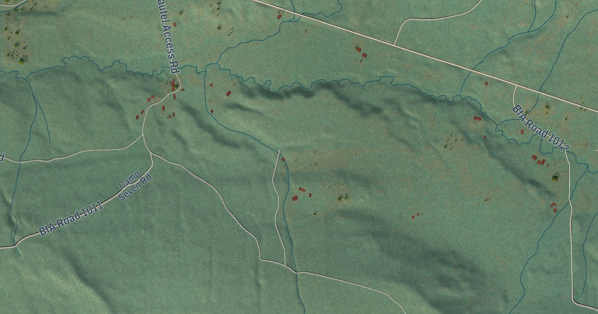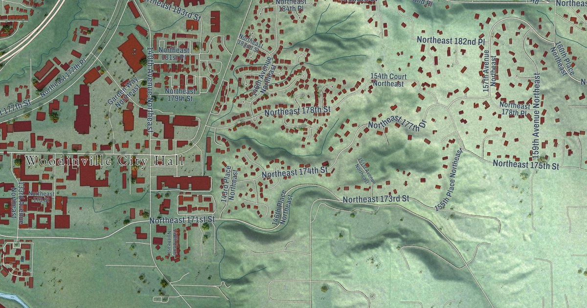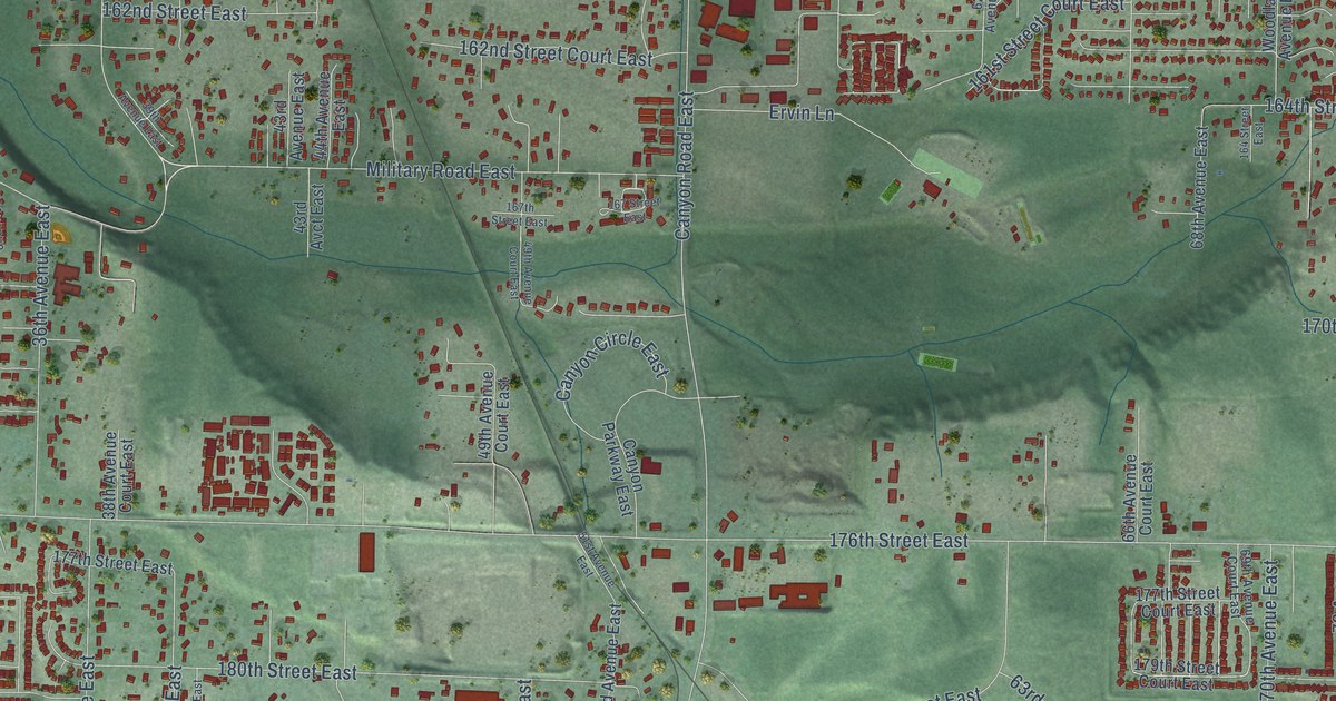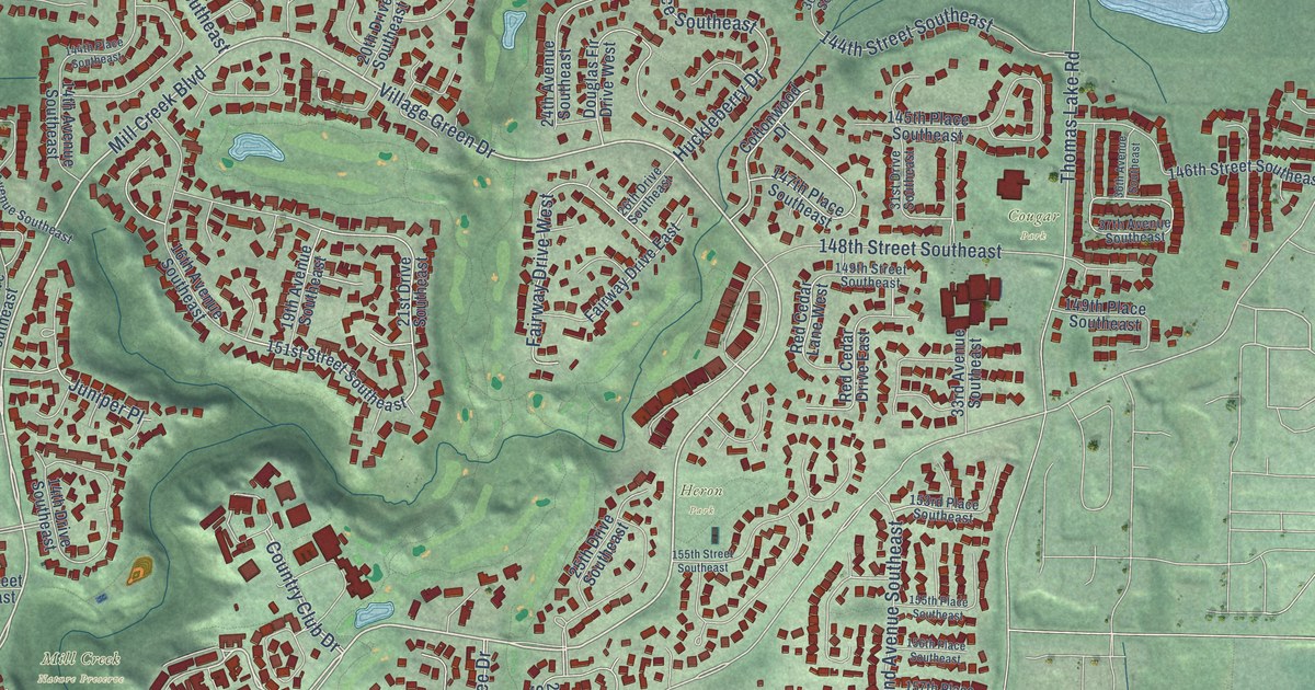
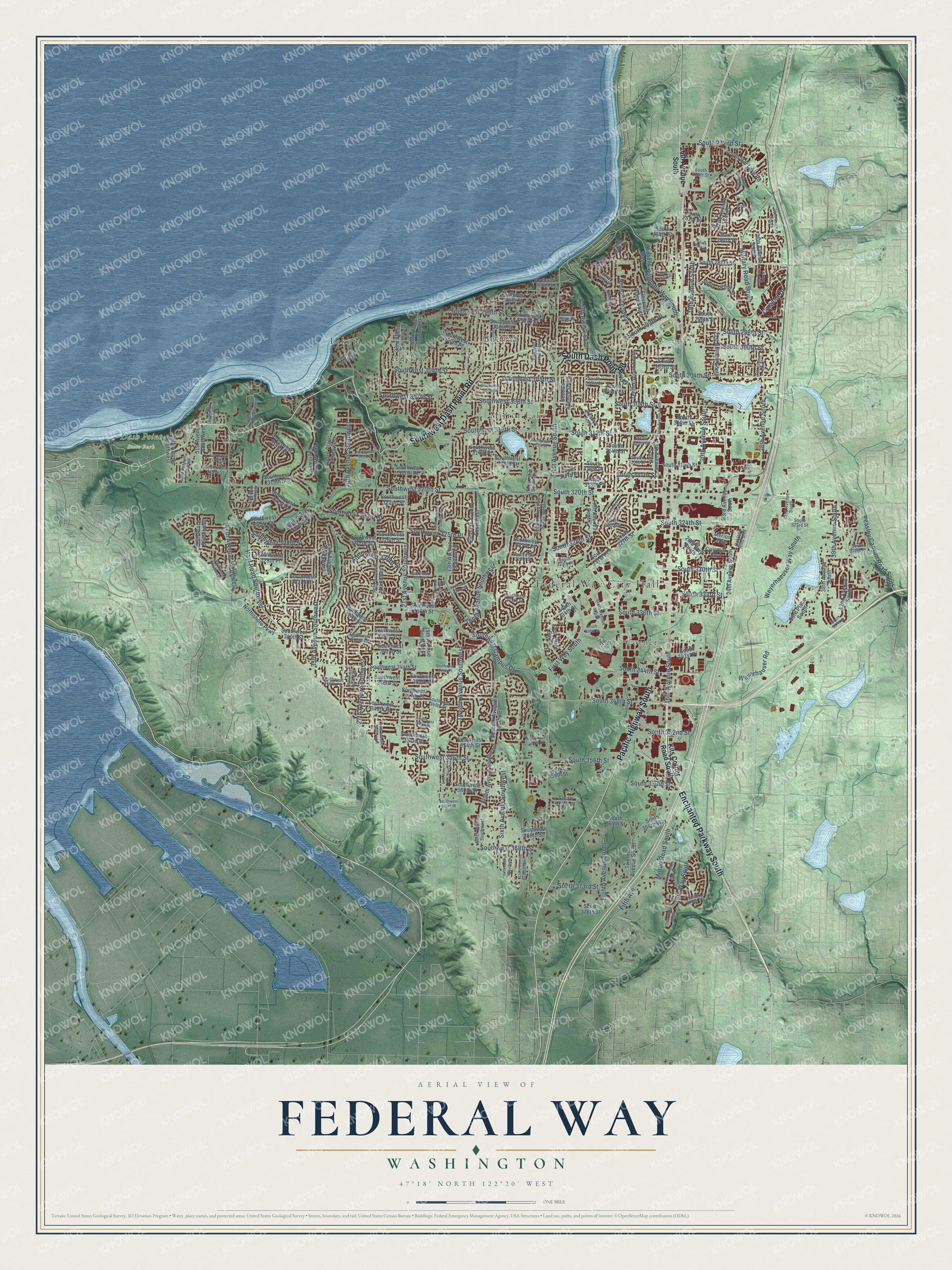
This beautifully detailed map of Federal Way, Washington was created in 2026 using aerial imagery combined with modern topographical, census, street and landmark data. It’s a one-of-a-kind view of Federal Way that combines accurate data with a vintage aesthetic. The map shows every building in its true location, many of the roads carry their names, and the shaded topographic relief shows the shape of the land.
Explore an aerial view of Federal Way, Washington
On the map you’ll find Federal Way City Hall, Dash Point State Park, Adelaide, Buenna, Kitts Corner, Lakota, and Mirror Lake, along with Enchanted Parkway South, Pacific Highway South, Southwest Dash Point Road, South Dash Point Road, First Avenue South, and more. If you look closely you can even find your house accurately drawn in its correct location. Zoom in on the preview to look for yours.
Did you know this piece of Federal Way, Washington history?
From HistoryLink.org: "Military Road, built in 1860 from Seattle to Pierce County, traveled south through settlements that would become Des Moines and Federal Way."
Take a closer look at the Federal Way map
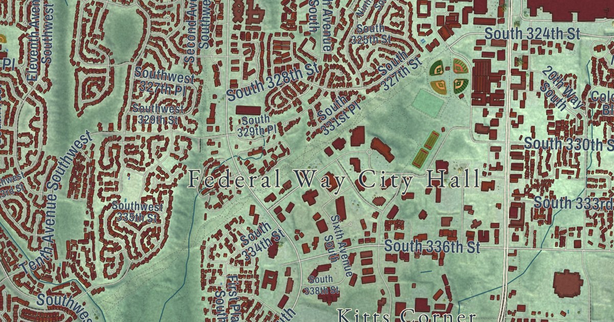
Street and place names on the Federal Way, Washington map
These names are printed on the map of Federal Way, Washington.
Places: Federal Way City Hall, Dash Point State Park, Buenna, Lakota, Mirror Lake, Kitts Corner and Adelaide.
Streets and roads: Enchanted Parkway South, Pacific Highway South, Southwest Dash Point Road, South Dash Point Road, First Avenue South, South 336th Street, 16th Avenue South, Southwest 325th Place, First Way South, 47th Avenue Southwest, South 328th Street, South 324th Street.
More street names, A to Z
13th Avenue South, 13th Avenue Southwest, 14th Avenue South, 14th Avenue Southwest, 16th Avenue Southwest, 17th Avenue South, 17th Avenue Southwest, 18th Avenue South, 18th Place South, 19th Avenue Southwest, 19th Way South, 20th Avenue South, 20th Place Southwest, 20th Way South, 21st Avenue South, 21st Avenue Southwest, 22nd Avenue South, 23rd Avenue South, 23rd Avenue Southwest, 24th Avenue South, 25th Avenue Southwest, 25th Drive South, 25th Place, 26th Avenue South, 26th Avenue Southwest, 26th Place South, 27th Avenue South, 27th Avenue Southwest, 28th Avenue South, 28th Place Southwest, 29th Avenue South, 30th Avenue Southwest, 32nd Avenue South, 33rd Avenue Southwest, 33rd Place South, 33rd Place Southwest, 35th Avenue Southwest, 36th Avenue Southwest, 38th Avenue South, 39th Avenue South, 39th Place Southwest, 42nd Avenue South, 43rd Place Southwest, 44th Avenue Southwest, 49th Avenue Southwest, 50th Avenue Southwest, 50th Place Southwest, 51st Avenue Southwest, 53rd Avenue Southwest, 55th Avenue Southwest, Camelot Drive, Colonial Boulevard, Crystal Lake Road, Eighth Avenue South, Eighth Avenue Southwest, Eleventh Avenue Southwest, Eleventh Place South, Fifth Avenue, Fifth Avenue South, Fifth Avenue Southwest, Fifth Way South, First Place South, Fourth Avenue South, Hoyt Road Southwest, Kits Corner Road South, Merion Way, Military Road South, Milton Road South, Ninth Avenue South, Ninth Avenue Southwest, Ninth Place South, Northshore Parkway, Oakland Hills Boulevard, Peasley Canyon Road South, Redondo Way, Redondo Way South, Second Avenue South, Second Avenue Southwest, Second Place Southwest, Seventh Avenue Southwest, Seventh Place South, Sixth Avenue South, Sixth Avenue Southwest, South 272nd Street, South 276th Street, South 280th Place, South 281st Place, South 284th Place, South 284th Street, South 285th Place, South 286th Street, South 288th Lane, South 288th Street, South 290th Place, South 291st Street, South 292nd Street, South 296th Place, South 296th Street, South 298th Street, South 299th Place, South 300th Street, South 303rd Street, South 304th Street, South 305th Street, South 306th Street, South 308th Street, South 310th Street, South 312th Street, South 313th Street, South 314th Street, South 315th Street, South 316th Place, South 316th Street, South 317th Place, South 317th Street, South 318th Place, South 320th Street, South 323rd Street, South 325th Street, South 326th Place, South 327th Street, South 329th Place, South 330th Street, South 331st Place, South 333rd Street, South 334th Street, South 337th Street, South 338th Street, South 341st Place, South 344th Street, South 348th Street, South 352nd Street, South 356th Street, South 358th Street, South 359th Street, South 361st Place, South 364th Street, South 364th Way, South 373rd Street, South 375th Street, South 376th Street, South Star Lake Road, Southwest 292nd Street, Southwest 294th Street, Southwest 296th Street, Southwest 297th Street, Southwest 298th Street, Southwest 300th Place, Southwest 302nd Place, Southwest 304th Street, Southwest 305th Street, Southwest 306th Street, Southwest 307th Street, Southwest 308th Street, Southwest 312th Street, Southwest 313th Street, Southwest 314th Place, Southwest 314th Street, Southwest 315th Street, Southwest 316th Street, Southwest 317th Lane, Southwest 317th Place, Southwest 318th Street, Southwest 319th Street, Southwest 320th Street, Southwest 321st Street, Southwest 322nd Street, Southwest 323rd Street, Southwest 325th Street, Southwest 326th Street, Southwest 327th Place, Southwest 327th Street, Southwest 328th Street, Southwest 329th Place, Southwest 329th Street, Southwest 330th Street, Southwest 331st Place, Southwest 332nd Place, Southwest 333rd Street, Southwest 335th Street, Southwest 336th Street, Southwest 337th Street, Southwest 339th Street, Southwest 340th Place, Southwest 340th Street, Southwest 342nd Street, Southwest 344th Place, Southwest 344th Street, Southwest 345th Place, Southwest 346th Place, Southwest 346th Street, Southwest 347th Place, Southwest 349th Place, Southwest 349th Street, Southwest 351st Street, Southwest 353rd Place, Southwest 354th Street, Southwest 356th Street, Southwest 357th Place, Southwest 360th Street, Southwest 363rd Street, Southwest 366th Street, Southwest 368th Street, Southwest Campus Drive, Tenth Avenue South, Tenth Avenue Southwest, Third Avenue Southwest, Third Place Southwest, Twelfth Avenue South, Twelfth Avenue Southwest, Weyerhaeuser Way South, Weyerhauser Road.
See the Federal Way, Washington map on a wall
The Federal Way map as an 18 x 24 inch print in a black frame.

This beautifully detailed map of Federal Way makes an attractive addition to your office, library, or den, and it can even be used to teach children the geography and history of the area. It also makes a great gift for anyone who grew up in Federal Way or moved away. When you’re done exploring, click here to get your copy of the Federal Way map.