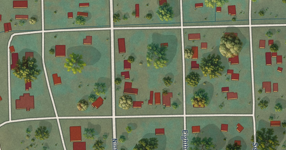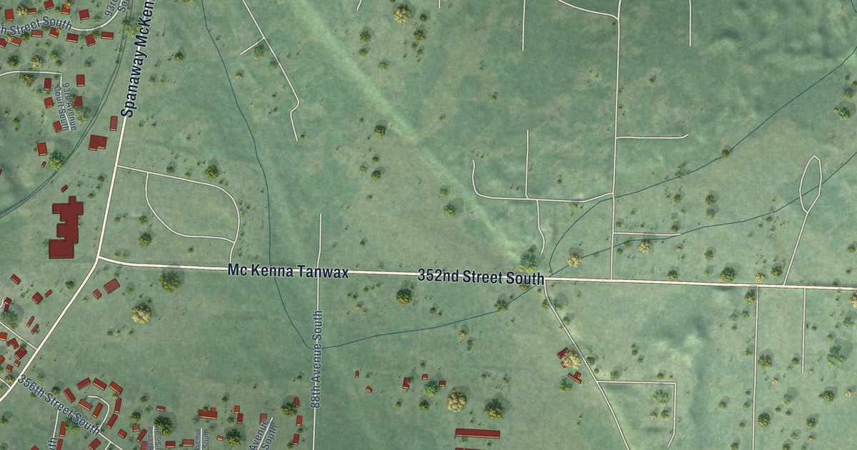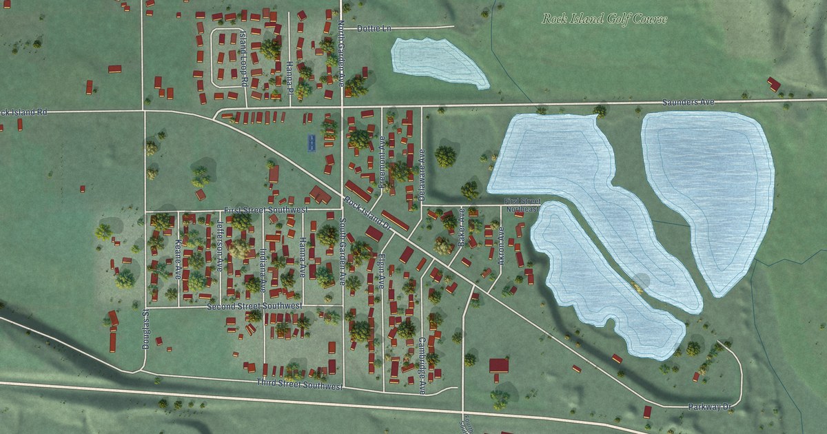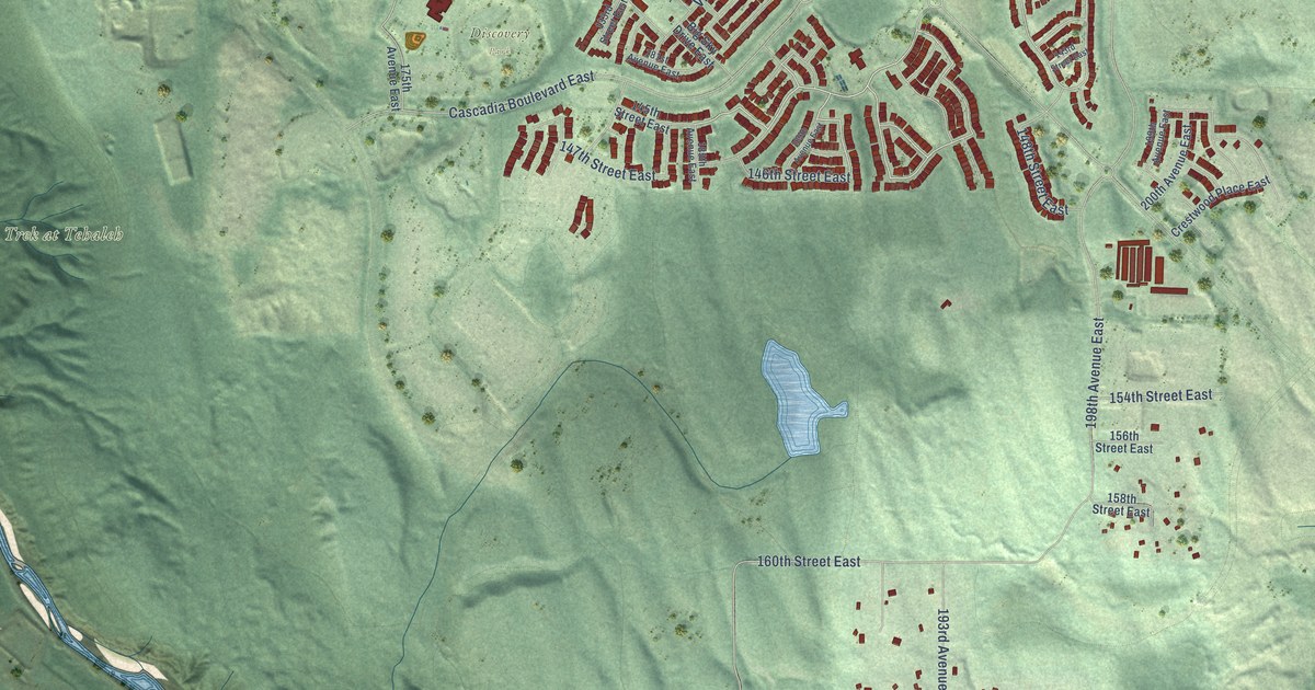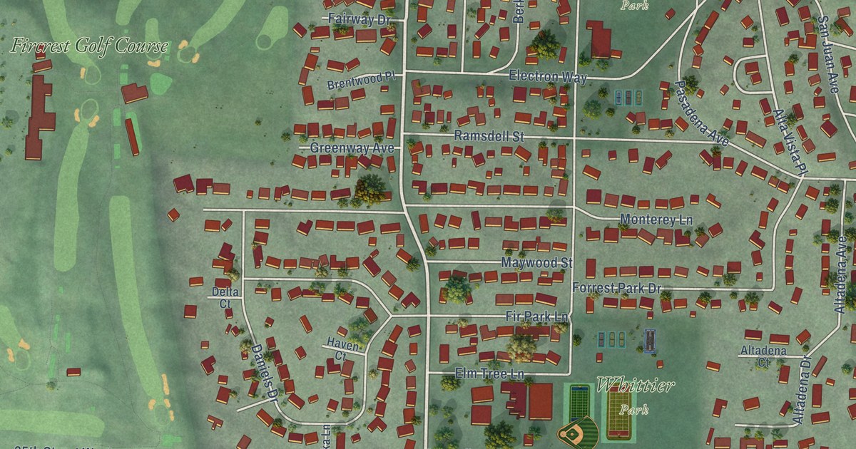
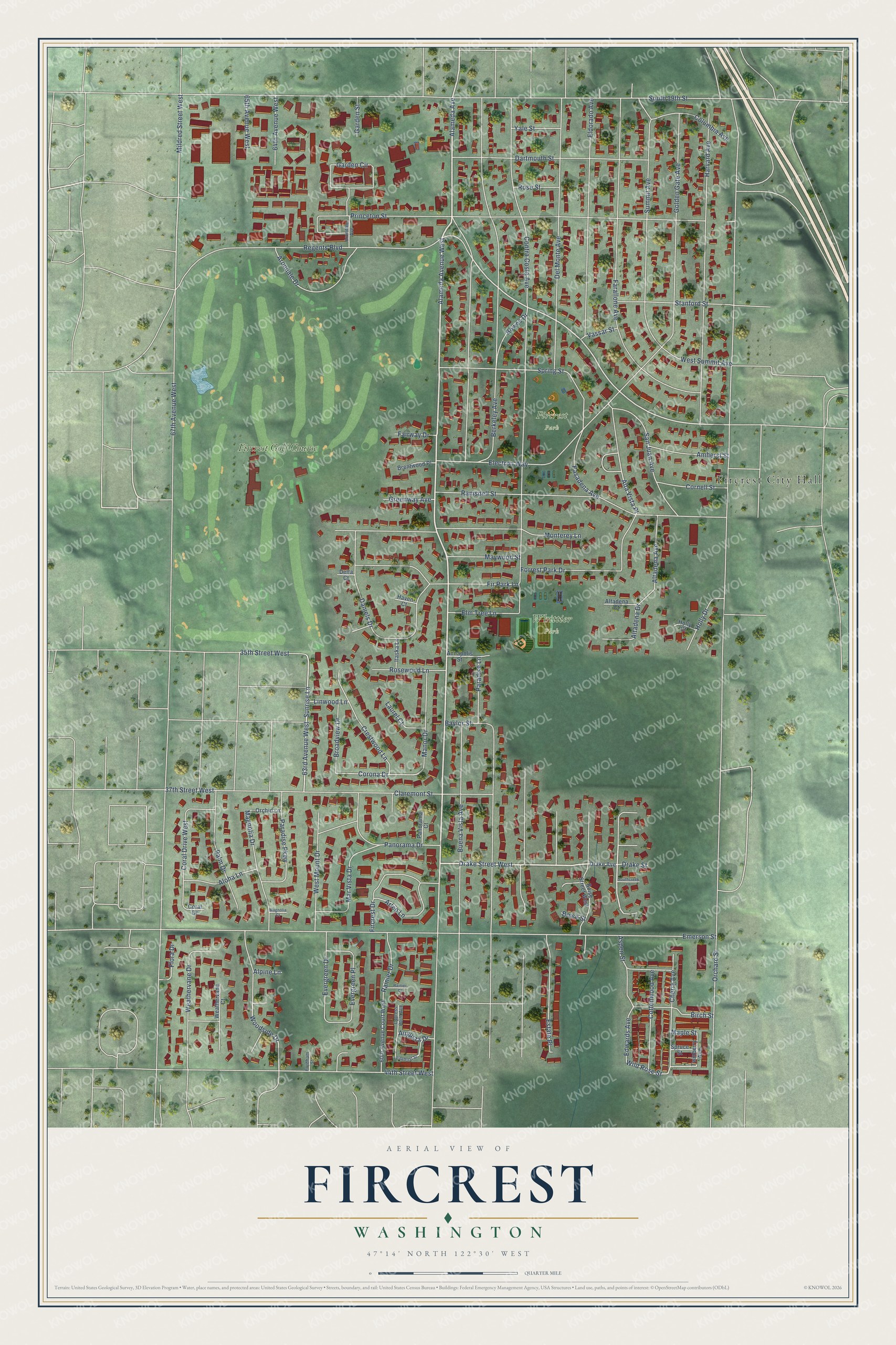
This beautifully detailed map of Fircrest, Washington was created in 2026 using aerial imagery combined with modern topographical, census, street and landmark data. It’s a one-of-a-kind view of Fircrest that combines accurate data with a vintage aesthetic. The map shows every building in its true location, many of the roads carry their names, and the shaded topographic relief shows the shape of the land.
Explore an aerial view of Fircrest, Washington
On the map you’ll find Fircrest City Hall, Fircrest Park, Whittier Park, Fircrest Golf Course, and Alta Vista Place, along with Alameda Avenue West, Alameda Avenue, Drake Street West, Farallone Avenue, Woodside Drive, Regents Boulevard, Mildred Street West, and more. If you look closely you can even find your house accurately drawn in its correct location. Zoom in on the preview to look for yours.
Did you know this piece of Fircrest, Washington history?
From the City of Fircrest: "In September 1925, Regents Park and its 306 residents incorporated as the Town of Fircrest in an effort to start new and reenergize the community."
Take a closer look at the Fircrest map
Street and place names on the Fircrest, Washington map
These names are printed on the map of Fircrest, Washington.
Places: Fircrest City Hall, Fircrest Park, Whittier Park and Fircrest Golf Course.
Streets and roads: Alameda Avenue West, Alameda Avenue, Drake Street West, Farallone Avenue, Woodside Drive, Regents Boulevard, Mildred Street West, Alta Vista Place, 63rd Avenue West, Sunrise Lane, Corona Drive, Wild Rose Street.
More street names, A to Z
35th Street West, 37th Street West, 44th Street West, 60th Avenue Court West, 64th Avenue West, 65th Avenue West, 67th Avenue West, Aloha Lane, Alpine Lane, Altadena Avenue, Altadena Court, Altadena Drive, Amherst Street, Annapolis Street, Arleo Lane, Arondale Avenue, Arondale Drive, Aspen Street, Augusta Drive, Baylor Street, Berkeley Avenue, Birch Street, Boise Street, Boise Street West, Bowes Drive, Brentwood Place, Broadview Drive, Buena Vista Avenue, Cherry Avenue, Claremont Street, Columbia Avenue, Contra Costa Avenue, Coral Drive, Coral Drive West, Cornell Street, Cottonwood Avenue, Crestwood Lane, Cypress Point Avenue, Daniels Drive, Dartmouth Street, Del Monte Avenue, Delta Court, Drake Avenue, Drake Street, Edwards Avenue, Eldorado Avenue, Electron Way, Elm Tree Lane, Emerson Street, Estate Place, Evergreen Drive, Evergreen Place, Fairway Drive, Fircrest Drive, Fir Park Lane, Flora Drive, Fordham Street, Forrest Park Drive, Garden Circle, Garden Street, Golden Gate Avenue, Greenway Avenue, Harvard Avenue, Haven Court, Holly Court, Holly Drive, Itaska Lane, Laurel Court, Linwood Lane, Magnolia Court, Magnolia Drive, Manor Drive, Maple Street, Mar Vista Drive, Maywood Street, Monterey Lane, Orchard Street, Orchid Lane, Palm Drive, Panorama Court, Panorama Drive, Paradise Lane, Paradise Parkway, Pasadena Avenue, Pinehurst Street, Princeton Street, Rainier Court, Rainier Drive, Ramsdell Street, Rose Street, Rosewood Lane, San Juan Avenue, South 19th Street, Southcreek Lane, Spring Street, Spruce Street, Stanford Street, Summit Avenue, Twinberry Avenue, Vassar Street, Weathervane Court, Weathervane Drive, West Mount Drive, West Summit Avenue, Yale Street.
See the Fircrest, Washington map on a wall
The Fircrest map as an 18 x 24 inch print in a black frame.

This beautifully detailed map of Fircrest makes an attractive addition to your office, library, or den, and it can even be used to teach children the geography and history of the area. It also makes a great gift for anyone with Fircrest roots. When you’re done exploring, click here to get your copy of the Fircrest map.