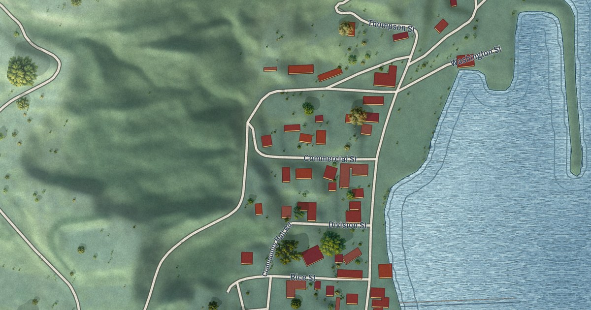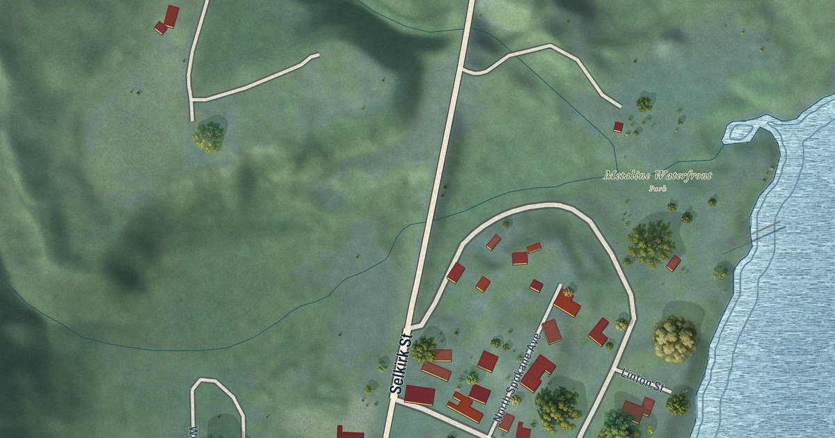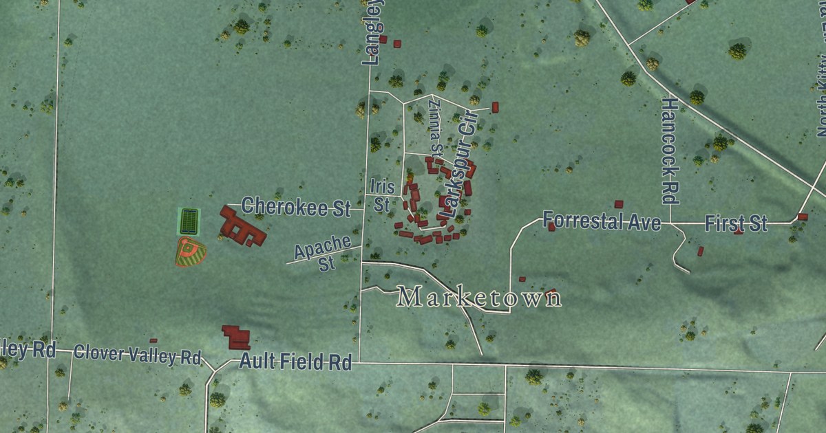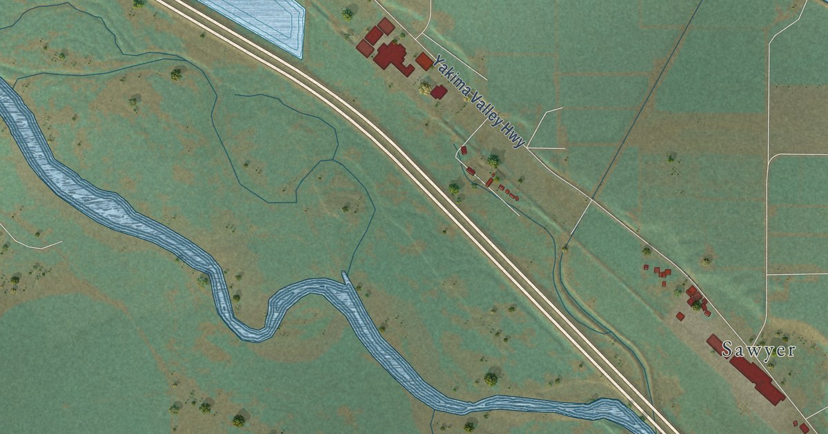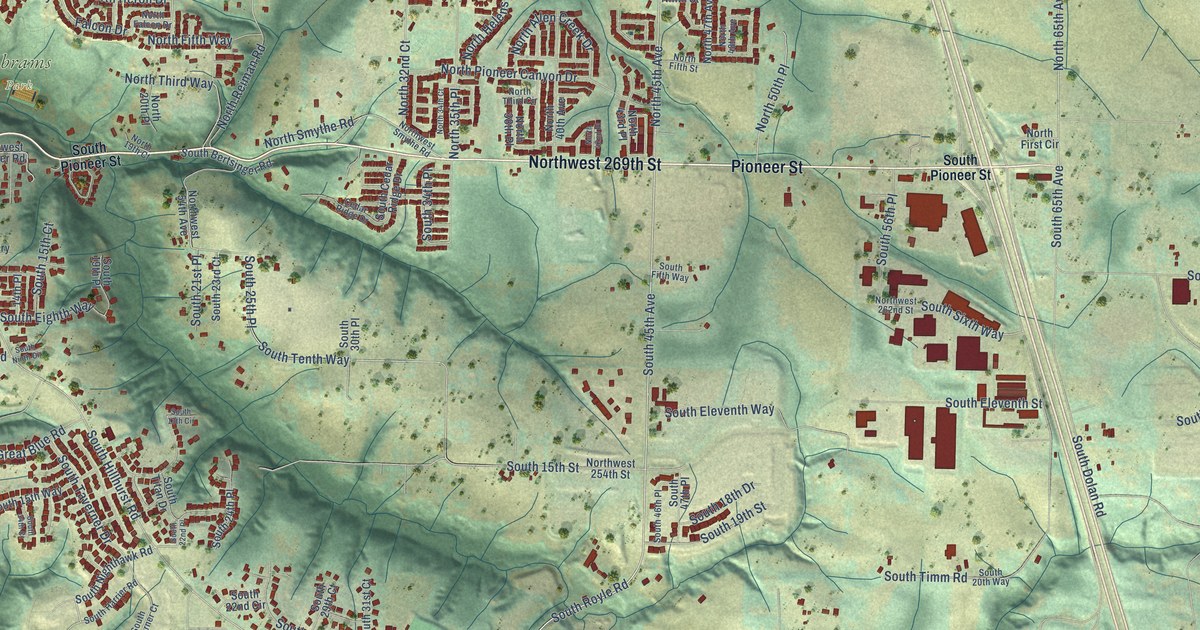
This beautifully detailed map of Ridgefield, Washington was created in 2026 using aerial imagery combined with modern topographical, census, street and landmark data. It’s a one-of-a-kind view of Ridgefield that combines accurate data with a vintage aesthetic. The map shows every building in its true location, many of the roads carry their names, and the shaded topographic relief shows the shape of the land.
Explore an aerial view of Ridgefield, Washington
On the map you’ll find Ridgefield City Hall, Pioneer, Abrams Park, and West Pioneer, along with Pioneer Street, Northwest 269th Street, South 45th Avenue, North Main Avenue, Northwest Royle Road, South Royle Road, Northwest Hillhurst Road, Northwest 229th Street, and more. If you look closely you can even find your house accurately drawn in its correct location. Zoom in on the preview to look for yours.
Did you know this piece of Ridgefield, Washington history?
From the 2024 HistoryLink.org essay: "The N. C. Hall Creamery, another of the town's first real industries, moved from Vancouver to Ridgefield in 1896, drawn by the abundance of dairy cattle there."
Take a closer look at the Ridgefield map
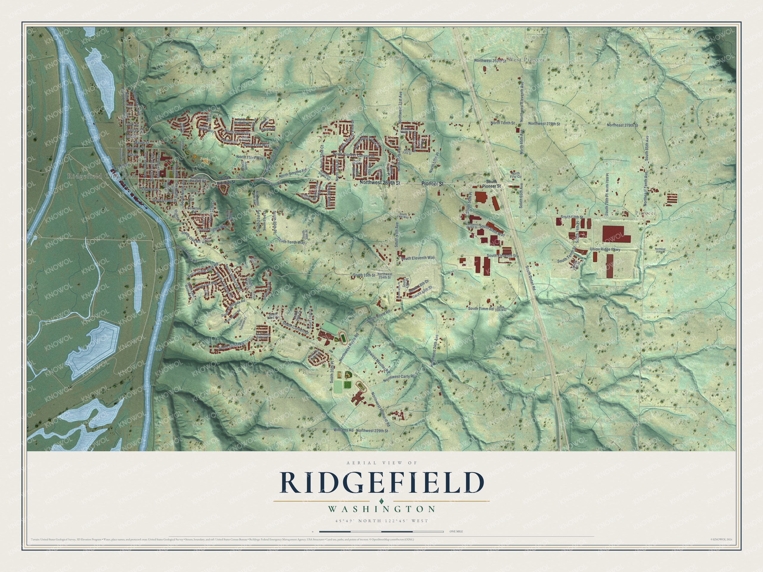
Street and place names on the Ridgefield, Washington map
These names are printed on the map of Ridgefield, Washington.
Places: Ridgefield City Hall, Pioneer, Abrams Park and West Pioneer.
Streets and roads: Pioneer Street, Northwest 269th Street, South 45th Avenue, North Main Avenue, Northwest Royle Road, South Royle Road, Northwest Hillhurst Road, Northwest 229th Street, North 45th Avenue, South Hillhurst Road, Northwest Carty Road, South Fourth Avenue.
More street names, A to Z
14th Place, Abrams Park Road, Ash Street, Cedar Ridge Drive, Cemetery Road, Cook Street, Depot Street, Division Street, Elm Street, Falcon Drive, Hall Circle, Hall Street, Heron Drive, Lark Drive, Maple Street, Mill Street, North 13th Place, North 19th Court, North 20th Place, North 32nd Court, North 34th Court, North 35th Place, North 38th Place, North 40th Avenue, North 42nd Place, North 43rd Place, North 47th Avenue, North 48th Avenue, North 50th Place, North 65th Avenue, North 78th Place, North Allen Creek Drive, Northeast 259th Street, Northeast 279th Street, Northeast Tenth Avenue, North Eighth Avenue, North Eighth Way, North Falcon Drive, North Fifth Street, North Fifth Way, North First Circle, North Helens View Drive, North Heron Drive, North Krause Avenue, North Ninth Place, North Ninth Street, North Ninth Way, North Pioneer Canyon Drive, North Railroad Avenue, North Reiman Road, North Smythe Road, North Tenth Street, North Third Avenue, North Third Circle, North Third Way, Northwest 24th Avenue, Northwest 31st Avenue, Northwest 54th Avenue, Northwest 254th Street, Northwest 262nd Street, Northwest 279th Street, Northwest 289th Street, Northwest Eleventh Avenue, Northwest Meuller Road, Northwest Pioneer Road, Northwest Smythe Road, Railroad Avenue, Raven Drive, Riverview Drive, Sargent Street, Shobert Street, South 13th Circle, South 13th Street, South 14th Court, South 15th Court, South 15th Street, South 15th Way, South 18th Drive, South 19th Place, South 19th Street, South 20th Way, South 21st Place, South 22nd Circle, South 22nd Place, South 23rd Court, South 24th Place, South 25th Place, South 29th Court, South 30th Place, South 31st Court, South 34th Place, South 35th Place, South 46th Place, South 47th Place, South 56th Place, South 65th Avenue, South 74th Place, South 78th Place, South 85th Avenue, South Bertsinger Road, South Cedar Ridge Drive, South Cornett Drive, South Dolan Road, South Eighth Avenue, South Eighth Way, South Eleventh Street, South Eleventh Way, South Fifth Avenue, South Fifth Street, South Fifth Way, South Great Blue Road, South Harrier Road, South Lake River Terrace, South Nighthawk Road, South Ninth Avenue, South Ninth Circle, South Oak Road, South Pioneer Street, South Red Tail Loop, South Refuge Road, South Seventh Avenue, South Sevier Road, South Shobert Street, South Sixth Way, South Taverner Court, South Taverner Drive, South Tenth Street, South Tenth Way, South Timm Road, South Titan Drive, South White Salmon Drive, Union Ridge Parkway, Williams Road.
See the Ridgefield, Washington map on a wall
The Ridgefield map as an 18 x 24 inch print in a black frame.

This beautifully detailed map of Ridgefield makes an attractive addition to your office, library, or den, and it can even be used to teach children the geography and history of the area. It also makes a great gift for anyone who grew up in Ridgefield or moved away. When you’re done exploring, click here to get your copy of the Ridgefield map.