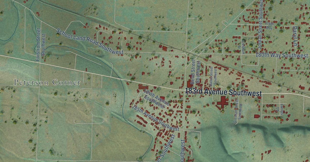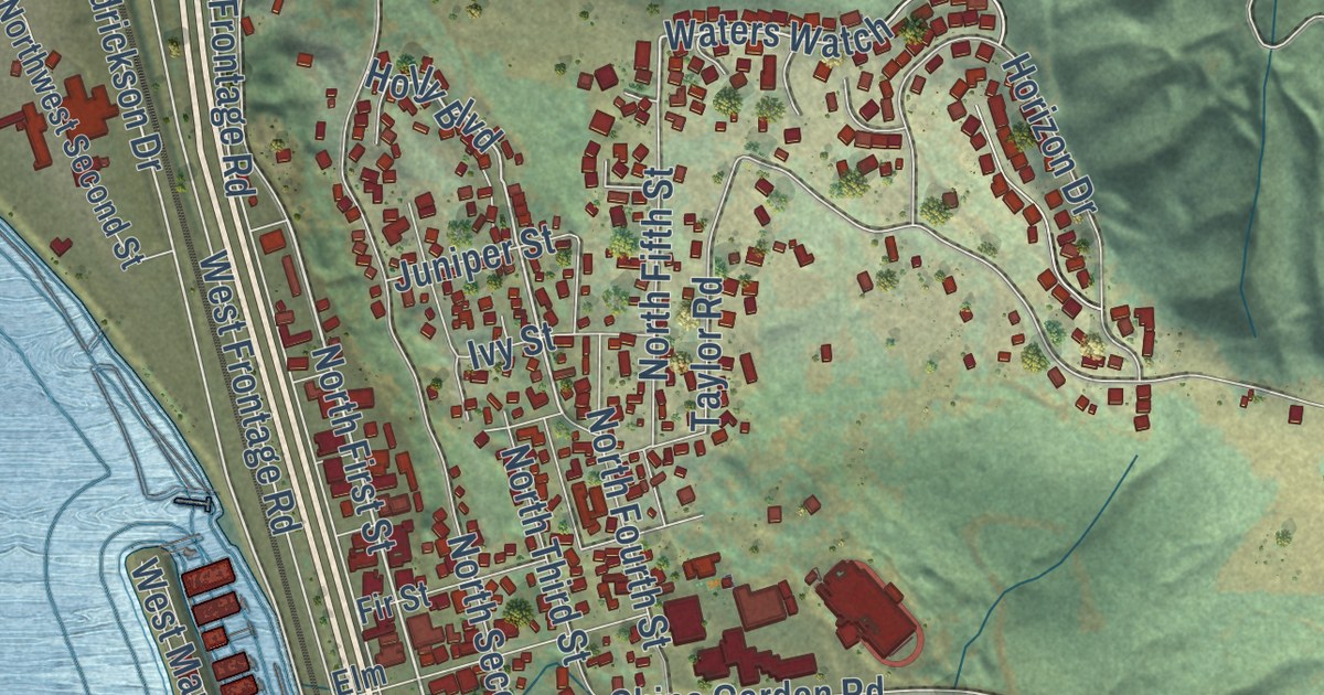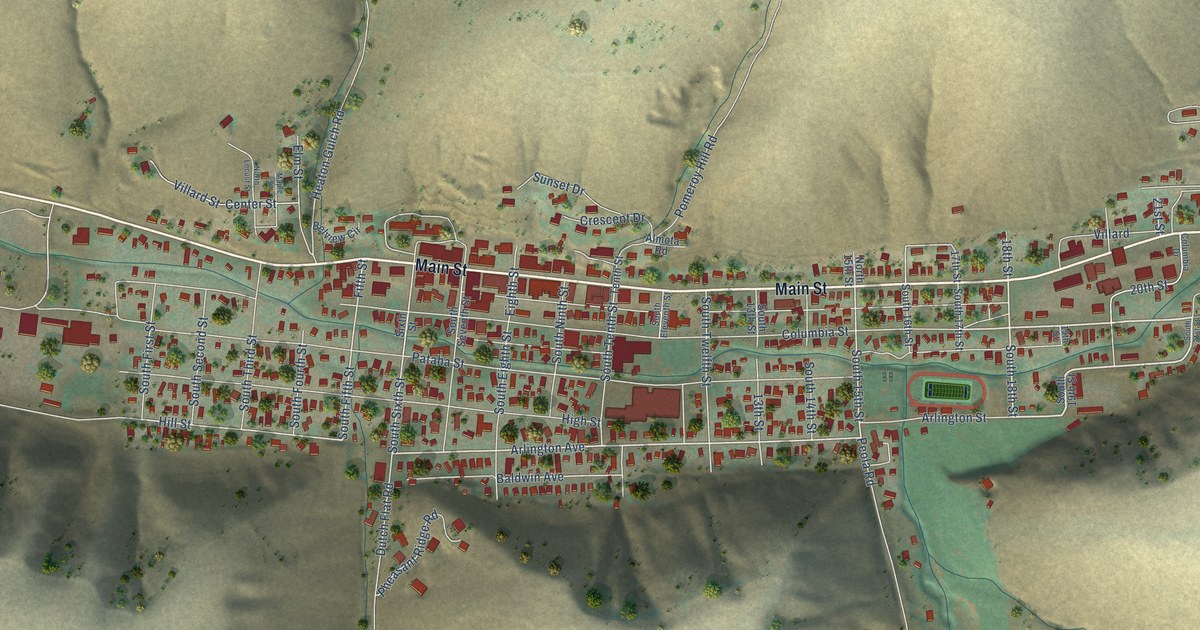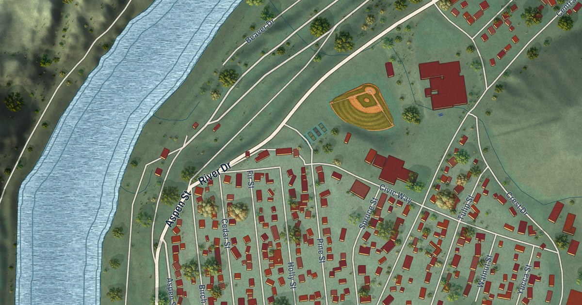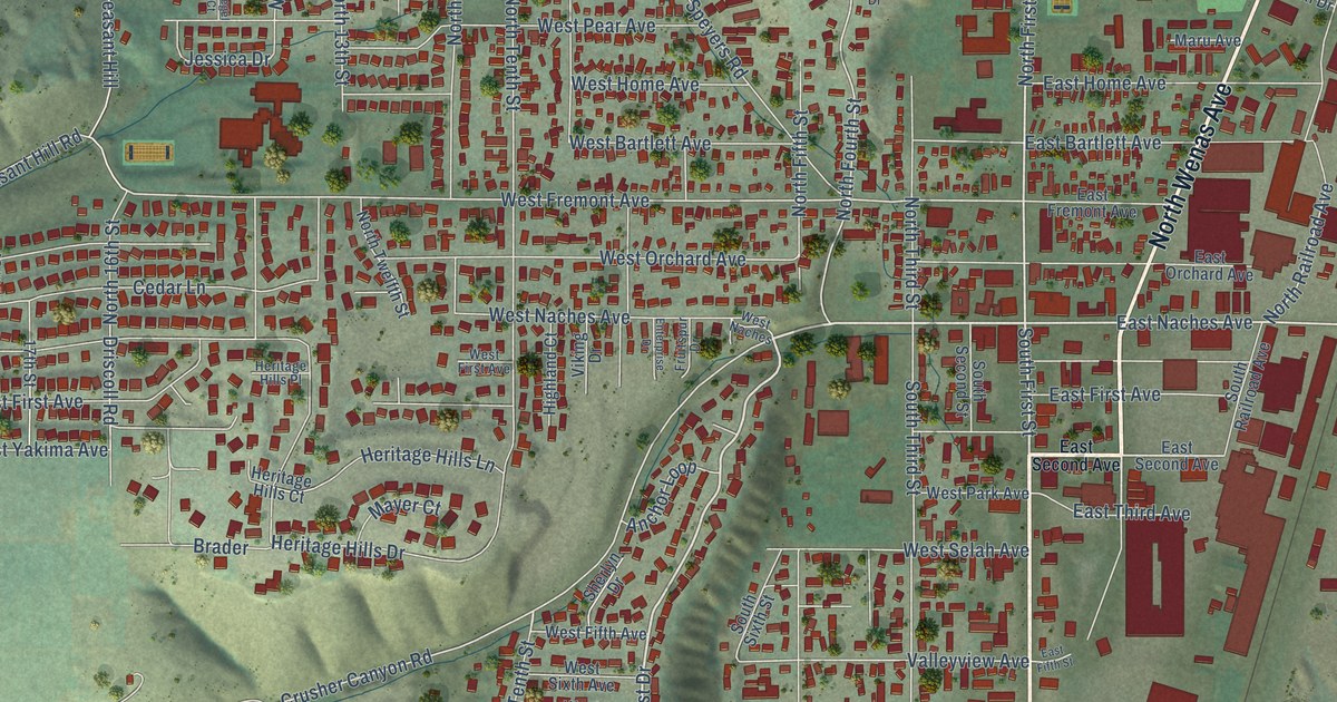
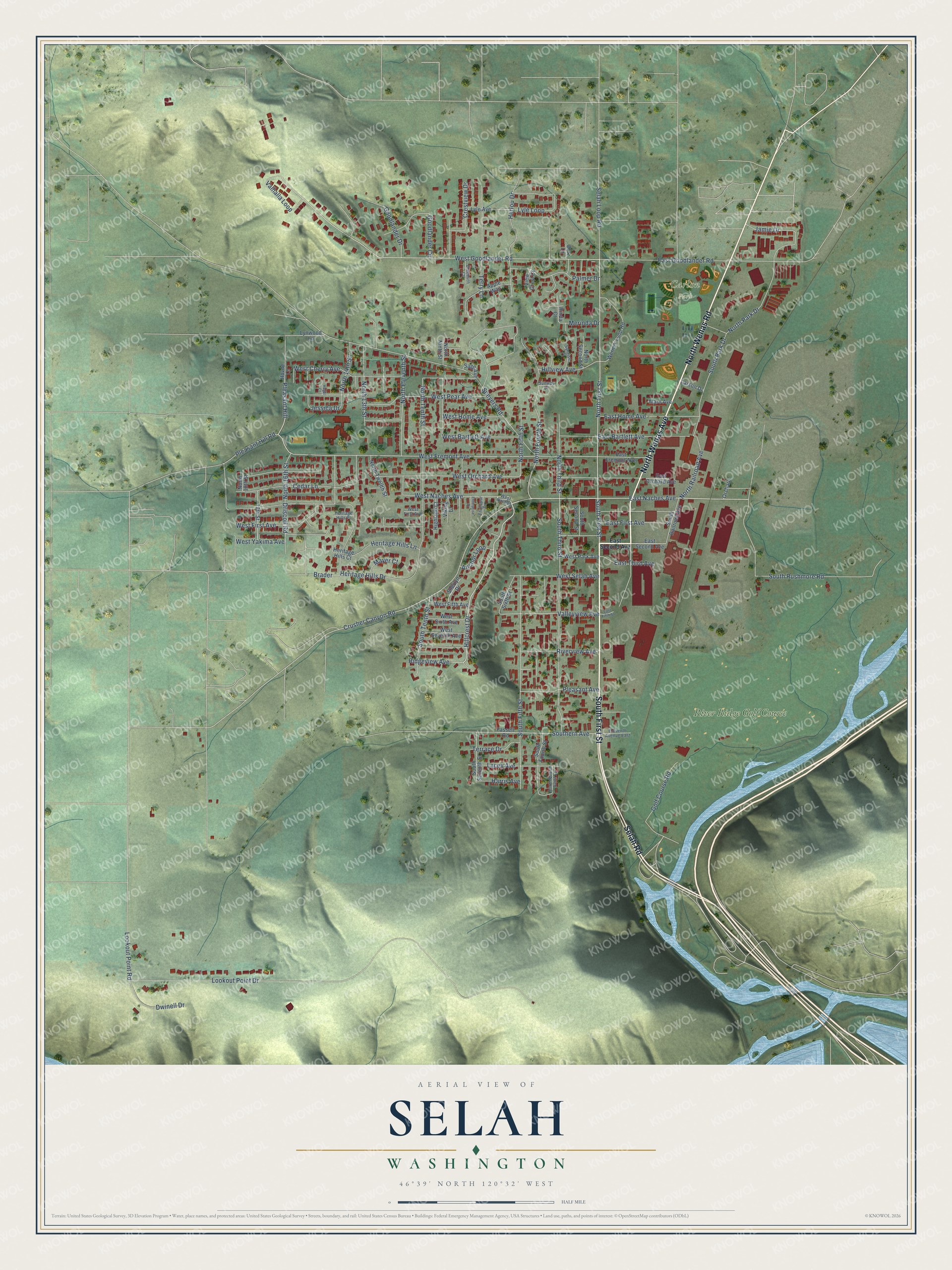
This beautifully detailed map of Selah, Washington was created in 2026 using aerial imagery combined with modern topographical, census, street and landmark data. It’s a one-of-a-kind view of Selah that combines accurate data with a vintage aesthetic. The map shows every building in its true location, many of the roads carry their names, and the shaded topographic relief shows the shape of the land.
Explore an aerial view of Selah, Washington
On the map you’ll find Carlon Park and River Ridge Golf Course, along with South First Street, North Wenas Road, Selah Road, North Wenas Avenue, West Naches Avenue, Hillcrest Drive, North First Street, East Naches Avenue, West Goodlander Road, North Fourth Street, and more. If you look closely you can even find your house accurately drawn in its correct location. Zoom in on the preview to look for yours.
Did you know this piece of Selah, Washington history?
From HistoryLink.org: "The first settler in what is now Selah was Alfred Henson, who in 1865 staked a claim on land that later became the Elks Golf and Country Club."
Take a closer look at the Selah map
Street and place names on the Selah, Washington map
These names are printed on the map of Selah, Washington.
Places: Carlon Park and River Ridge Golf Course.
Streets and roads: South First Street, North Wenas Road, Selah Road, North Wenas Avenue, West Naches Avenue, Hillcrest Drive, North First Street, East Naches Avenue, West Goodlander Road, North Fourth Street, Pleasant Hill Road, Lookout Point Road.
More street names, A to Z
17th Street, Anchor Loop, Apple Way, Blitz Lane, Brader, Braeburn Court, Cedar Lane, Crestview Drive, Crusher Canyon Road, Driscoll Road, Dwinell Drive, East Bartlett Avenue, East Fifth Street, East First Avenue, East Fremont Avenue, East Goodlander Road, East Home Avenue, East Orchard Avenue, East Second Avenue, East Third Avenue, Eleventh Avenue East, Enterprise Drive, Fassett Road, Fruitspur Drive, Golf Course Road, Goodlander Circle, Goodlander Drive, Harris Avenue, Hegel Court, Heritage Hills Court, Heritage Hills Drive, Heritage Hills Lane, Heritage Hills Place, Herlou Drive, Highland Court, Hillview Avenue, Hovde Lane, Jamie Drive, Jessica Drive, Lacey Avenue, Larson Drive, Lookout Point Drive, Lyle Avenue, Lyle Loop, Lynwood Lane, Maru Avenue, Mayer Court, Merinda Drive, North 13th Street, North 14th Street, North 16th Street, North 18th Street, North Eleventh Street, North Fifth Street, North Ninth Street, North Park Drive, North Railroad Avenue, North Second Street, North Tenth Street, North Third Street, North Twelfth Street, Orchard, Palmer Drive, Pleasant Avenue, Pleasant Hill, Ridgeview Avenue, Rinda Court, Riverview Avenue, Sage Avenue, Selah Loop Road, Sherlyn Drive, Southern Avenue, South Fifth Street, South Fourth Saint Lp, South Fourth Street, South Park Drive, South Railroad Avenue, South Rushmore Road, South Second Street, South Seventh Street, South Sixth Street, South Tenth Street, South Third Street, Speyers Road, Sunrise Place, Sunway Drive, Terrace Drive, Terry Lane, Valhalla Loop, Valleyview Avenue, View Crest Court, Viking Drive, Wernex Loop Road, West Bartlett Avenue, West Cherry Avenue, West Fifth Avenue, West First Avenue, West Fremont Avenue, West Home Avenue, West Naches, West Orchard Avenue, West Park Avenue, West Pear Avenue, West Selah Avenue, West Seventh Avenue, West Sixth Avenue, West Yakima Avenue.
See the Selah, Washington map on a wall
The Selah map as an 18 x 24 inch print in a black frame.

This beautifully detailed map of Selah makes an attractive addition to your office, library, or den, and it can even be used to teach children the geography and history of the area. It also makes a great gift for someone who left Selah and still calls it home. When you’re done exploring, click here to get your copy of the Selah map.