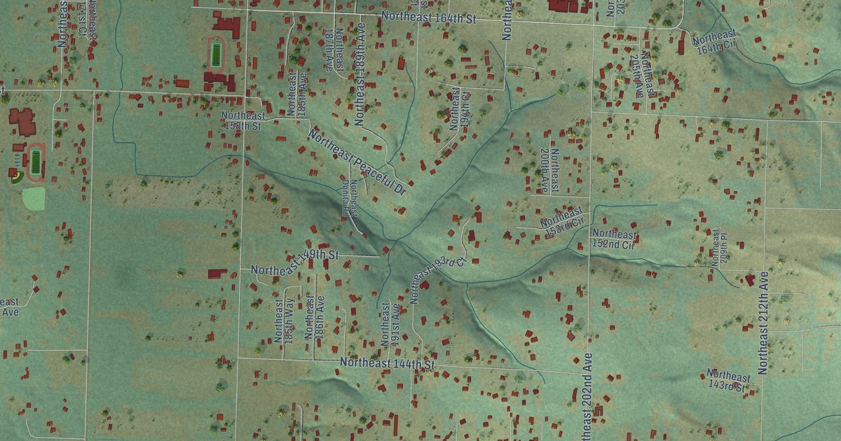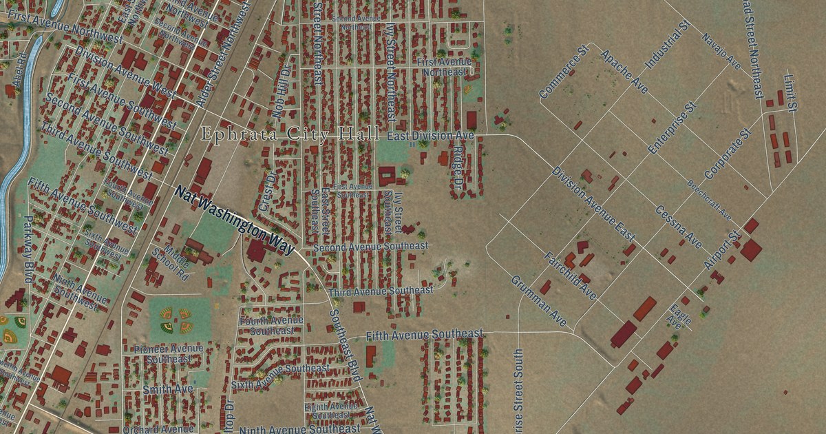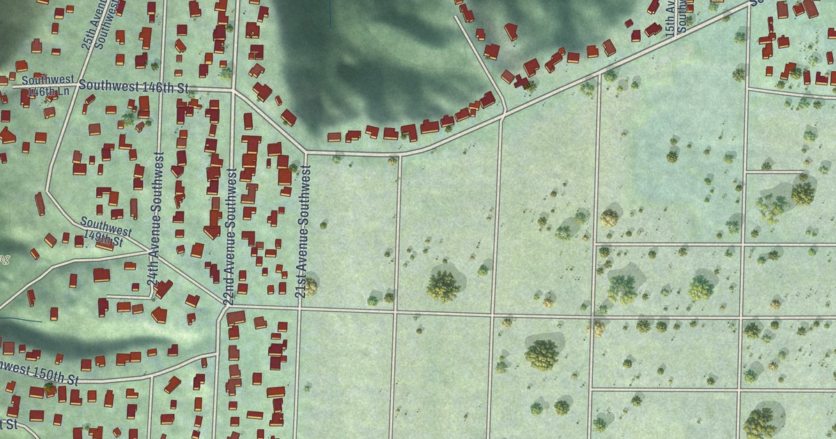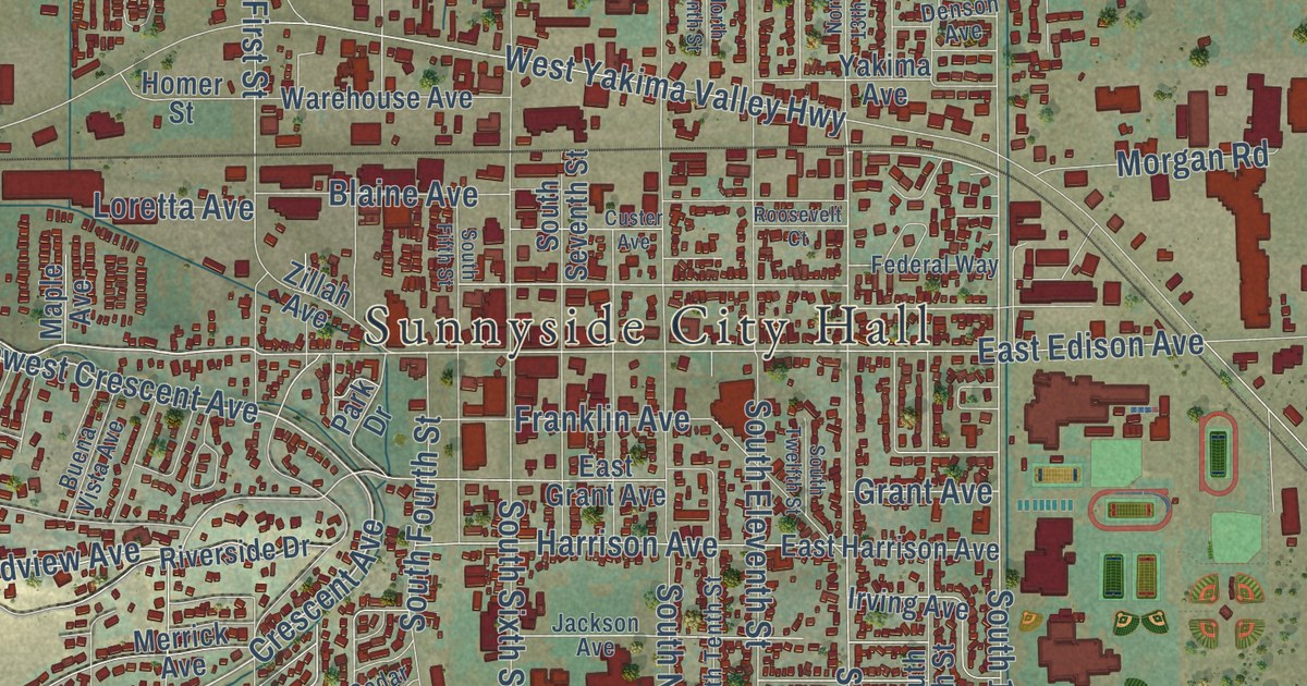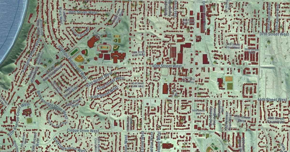
This beautifully detailed map of University Place, Washington was created in 2026 using aerial imagery combined with modern topographical, census, street and landmark data. It’s a one-of-a-kind view of University Place that combines accurate data with a vintage aesthetic. The map shows every building in its true location, many of the roads carry their names, and the shaded topographic relief shows the shape of the land.
Explore an aerial view of University Place, Washington
On the map you’ll find Pioneer, Cirque Park, New Tacoma Cemetery, Peach Acres, and Chambers Bay Golf Course, along with Chambers Creek Road, Alameda Avenue West, Chambers Creek Road West, 53rd Street West, 56th Street West, 97th Avenue Court West, 63rd Street West, and more. If you look closely you can even find your house accurately drawn in its correct location. Zoom in on the preview to look for yours.
Did you know this piece of University Place, Washington history?
From the City of University Place: "In the early 1890s, the area that is now University Place was chosen as a location for the University of Puget Sound, at the time named Puget Sound University."
Take a closer look at the University Place map
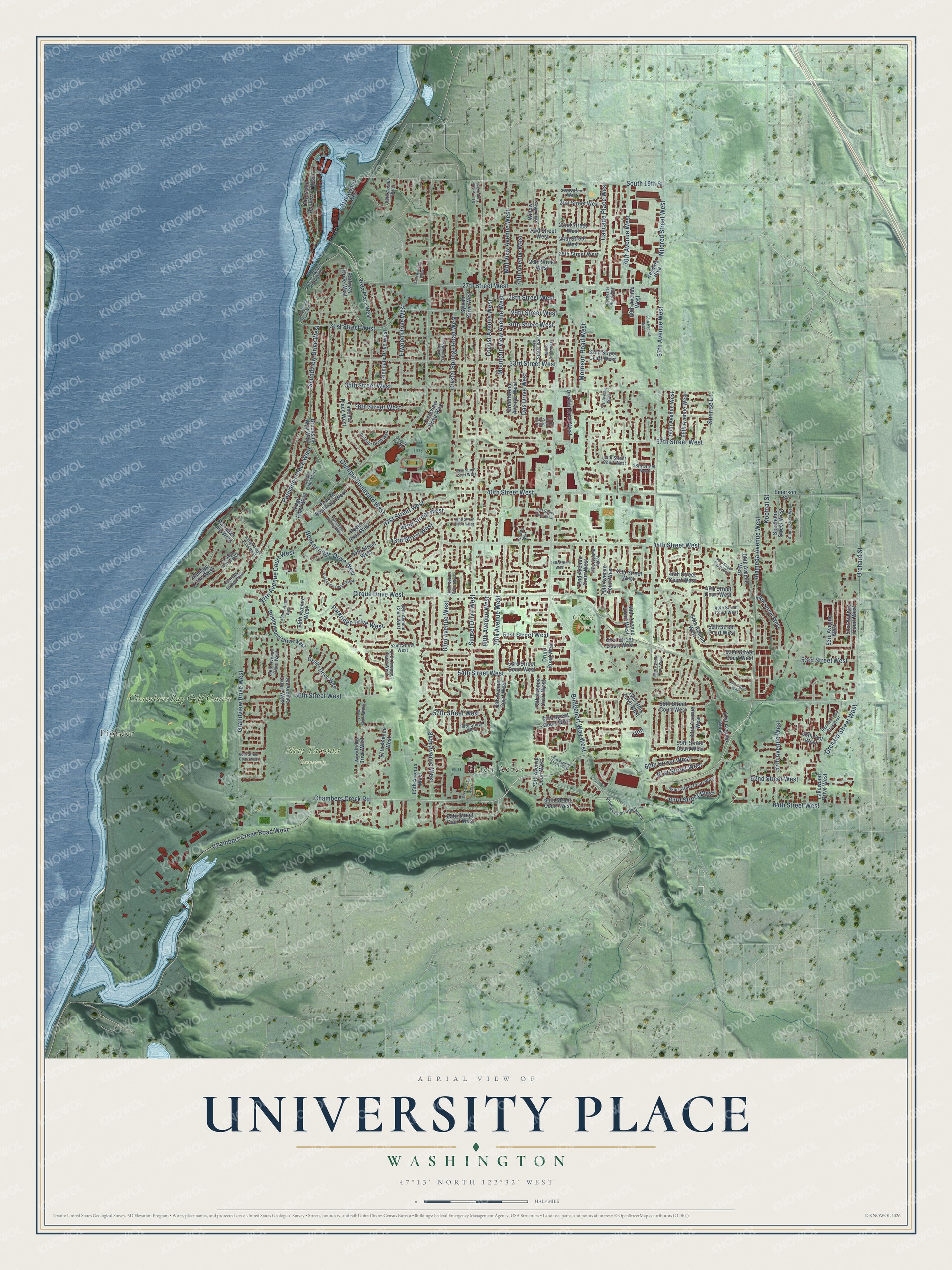
Street and place names on the University Place, Washington map
These names are printed on the map of University Place, Washington.
Places: Pioneer, Cirque Park, New Tacoma Cemetery, Peach Acres and Chambers Bay Golf Course.
Streets and roads: Chambers Creek Road, Alameda Avenue West, Chambers Creek Road West, 53rd Street West, 56th Street West, 97th Avenue Court West, 63rd Street West, 51st Street West, 60th Street West, Bridgeport Way West, Grandview Drive West, Cirque Drive West.
More street names, A to Z
20th Street West, 21st Street West, 22nd Street West, 23rd Street West, 24th Street West, 25th Street West, 26th Street West, 27th Street West, 28th Street West, 29th Street West, 30th Street West, 31st Street West, 32nd Street Court West, 33rd Street West, 35th Street West, 36th Street Court West, 36th Street West, 37th Street Court West, 37th Street West, 38th Street Court West, 38th Street West, 40th Street West, 41st Street Court West, 41st Street West, 42nd Street Court West, 42nd Street West, 43rd Street West, 44th Street West, 45th Street Court West, 45th Street West, 46th Street Court West, 46th Street West, 47th Street Court West, 47th Street West, 48th Street West, 49th Street Court West, 50th Street Court West, 51st Avenue Court West, 51st Street Court West, 52nd Street Court West, 52nd Street West, 53rd Avenue West, 53rd Street Court West, 54th Street West, 55th Street West, 56th Street Court West, 57th Avenue West, 57th Street Court West, 57th Street West, 58th Stct West, 58th Street West, 59th Street Court West, 60th Avenue West, 60th Street Court West, 61st Avenue West, 61st Street West, 62nd Street Court West, 62nd Street West, 63rd Avenue West, 64th Avenue West, 64th Street Court West, 64th Street West, 65th Avenue West, 65th Street Court West, 66th Avenue Court West, 66th Avenue West, 67th Avenue West, 68th Avenue West, 69th Avenue Court West, 69th Avenue West, 70th Avenue Court West, 70th Avenue West, 71st Avenue West, 72nd Avenue Court West, 72nd Avenue West, 73rd Avenue Court West, 75th Avenue Court West, 77th Avct West, 78th Avenue Court West, 78th Avenue West, 79th Avenue West, 80th Avenue West, 81st Avenue Court West, 81st Avenue West, 82nd Avenue Court West, 83rd Avenue West, 84th Avenue West, 85th Avenue West, 86th Avenue Court West, 86th Avenue West, 87th Avenue Court West, 87th Avenue West, 88th Avenue West, 89th Avenue West, 91st Avenue West, 95 Avenue Court West, 95th Avenue West, 96th Avenue Court West, 96th Avenue West, Alturas Street West, Arbordale Avenue West, Beckonridge Drive West, Bellview Street West, Bristonwood Drive West, Brookside Way West, Brouse Boulevard West, Carolyn Drive West, Cascade Place West, Colgate Drive West, Colgate Pk West, Crestview Drive West, Crystal Springs Road West, Curran Lane West, Day Island Boulevard West, Drexler Drive West, Drum Road West, Elwood Drive West, Emerson Street, Glendale Drive West, Greenwood Avenue West, Hannah Pierce Road West, Kootnai Street, Lakewood Drive West, Lemon Beach Road West, Lemons Beach Road West, Locust Avenue West, Louise Street West, Memory Lane West, Menlo Drive West, Mildred Street West, Mnt View Avenue West, Morrison Road West, Mountain View Avenue West, Oas Drive West, Olympic Boulevard West, Orchard Street, Orchard Street West, Oxalis Drive West, Palisades Place West, Paradise Avenue West, Parkridge Drive West, Parkway Drive West, Patrician Lane West, Phillips Road Southwest, Regents Boulevard, Ridge Road West, Ridgeview Circle West, Robin Road West, Rochester Road West, Shoshone Street West, Soundview Drive West, South 19th Street, Sunrise Lane, Sunset Beach Road West, Sunset Drive West, Sylvan Drive West, Tahoma Place West, Twin Hills Drive West, Unn, Vista Place West, Willow Lane West, Woodlake Drive West.
See the University Place, Washington map on a wall
The University Place map as an 18 x 24 inch print in a black frame.

This beautifully detailed map of University Place makes an attractive addition to your office, library, or den, and it can even be used to teach children the geography and history of the area. It also makes a great gift for someone who left University Place and still calls it home. When you’re done exploring, click here to get your copy of the University Place map.