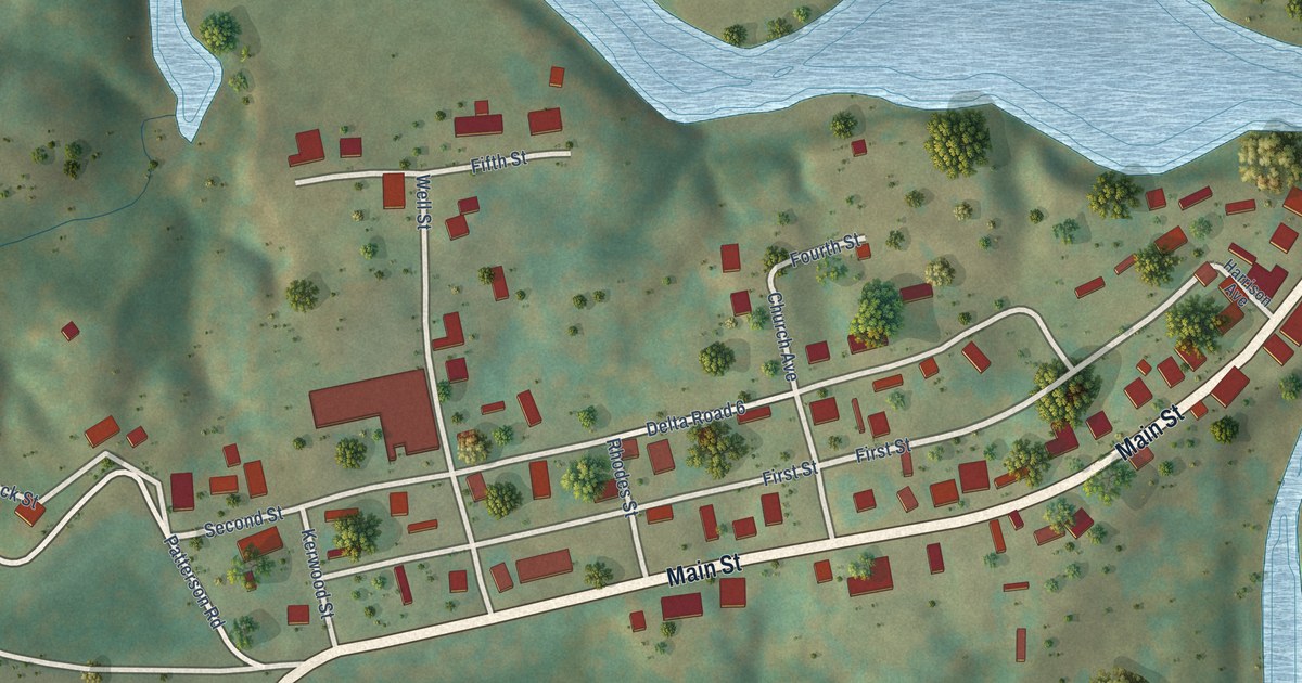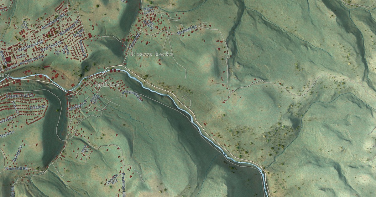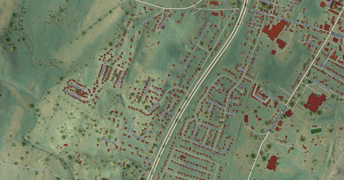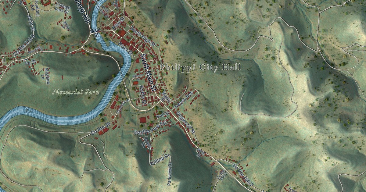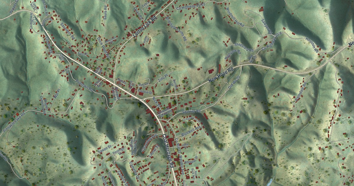
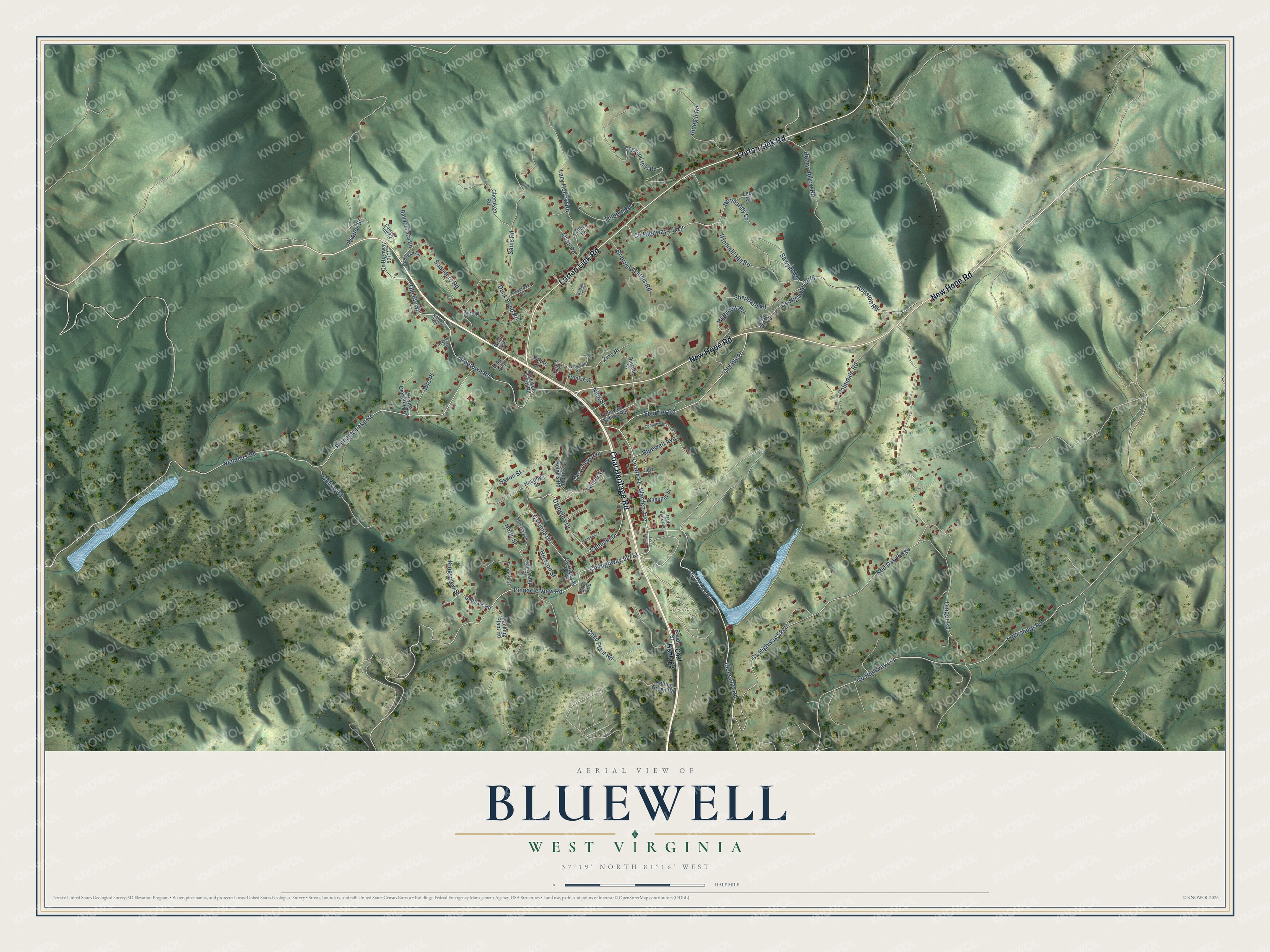
This beautifully detailed map of Bluewell, West Virginia was created in 2026 using aerial imagery combined with modern topographical, census, street and landmark data. It's a modern aerial view of Bluewell in Mercer County, West Virginia, that combines modern data with a vintage aesthetic. The roads feature printed names, and if you look closely you can find your exact house accurately shown in its correct location.
Explore an aerial view of Bluewell, West Virginia
On this map you'll find Woodlawn Cemetery, Coal Heritage Road, New Hope Road, Lorton Lick Road, Old US 52 Road, Co Highway 52/19, Pinnacle View Road, Warden Avenue, Kingsview Street, Old Wv 20, Co Highway 20/8, Spurrier Road, and more. Each red shape is a building, so zoom in on the preview and look for yours.
Bluewell is a community in Mercer County. The Census Bureau counted 2,162 people here in 2020. Bluewell sits about 3 miles south of Montcalm, 3 miles north of Brush Fork and 3 miles east of Bramwell. The map prints the town name in its title panel, with the coordinates below it.
Take a closer look at the Bluewell map
Names on this map
These names are printed on this map.
Places: Woodlawn Cemetery.
Streets and roads: Coal Heritage Road, New Hope Road, Lorton Lick Road, Old US 52 Road, Pinnacle View Road, Warden Avenue, Kingsview Street, Old Wv 20, Spurrier Road, Pinnacle Lake Road, Nemours Road, Old Route 52.
More street names, A to Z
Ballard Farm Road, Bandy Street, Bering Street, Bluecourt Road, Bluegill Road, Bluewell Avenue, Bluewell Cutoff Road, Bluewell School Road, Brierfield Farms Road, Broyles Cemetery Road, Buffalo Trail, Camelia Drive, Camella Drive, Camellia Drive, Camper Hill Road, Cherokee Road, Chilco Hill, Clearview Avenue, Clover Hill Street, Coal Heritage, Coke Plant Road, Cola Avenue, County Route 11, Crestridge Heights Road, Delta 68 Road, Dinger Road, Dogwood Hills Road, Duck Pond Road, Ellen Avenue, Fellowship Street, Frankie Street, French Street, Gillion Road, Grim Avenue, Gypsum Street, Hastings Street, Henry Hollow Road, Hibiscus Street, Highview Road, Horizon Street, Houston Road, Julep Court, Lacy Hollow Road, Laurel Street, Lela Court, Littlesburg Road, Nature Lane, Newcross Road, Nick Street, Normandy Lane, North Street, Old Route 20, Packing Plant Road, Palmdale Road, Pepper Street, Poetown Road, Quail Road, Red Bank Avenue, Redbird Hill, Redhead Road, Red Oak Ridge, Rolling Green Road, Sauls Road, Saunders Road, Sawyer Road, Saxon Street, Sheppard Road, Sheppet Street, Surratt Street, Tolbert Road, Tyro Place, Windmill Hill Road, Wje Place, Zebra Lane, Zinc Place.
See it on a wall
The Bluewell map as a framed print. Swipe for more.


Created by KNOWOL in 2026. The buildings are small red shapes, the roads carry their printed names, and shaded relief shows the shape of the land. The title panel reads "AERIAL VIEW OF BLUEWELL, WEST VIRGINIA" with 37°19' NORTH 81°16' WEST.
It looks right in a kitchen, an office or a den, and it's a gift for anyone who grew up in Bluewell or moved away. Open the preview and find your street. See sizes and frames for the Bluewell map.