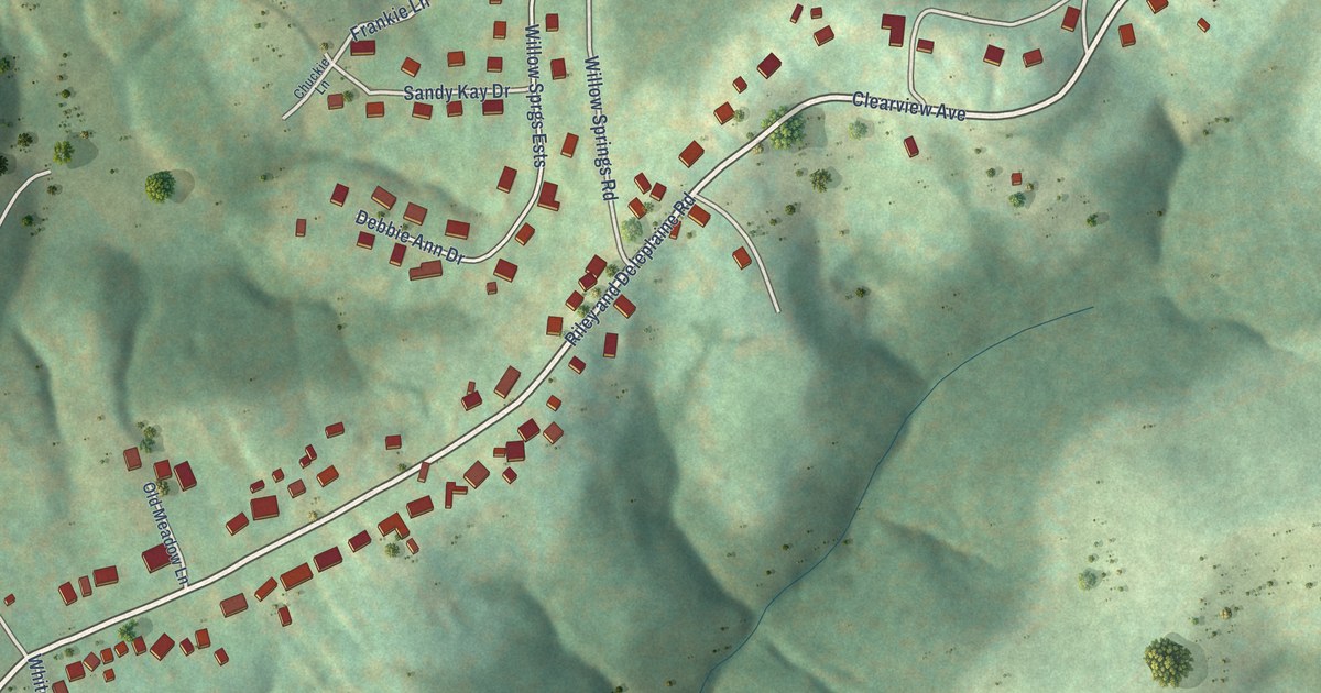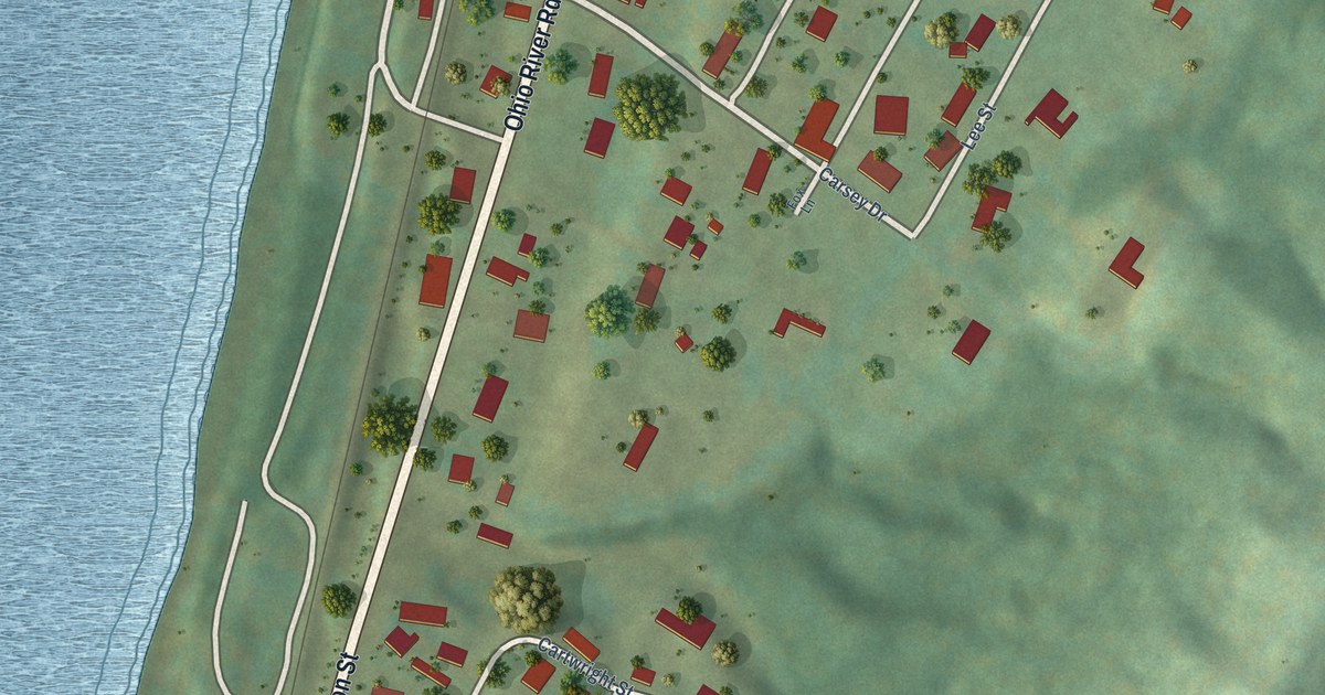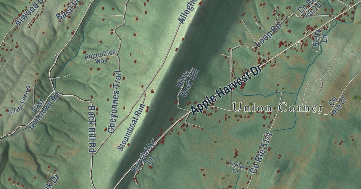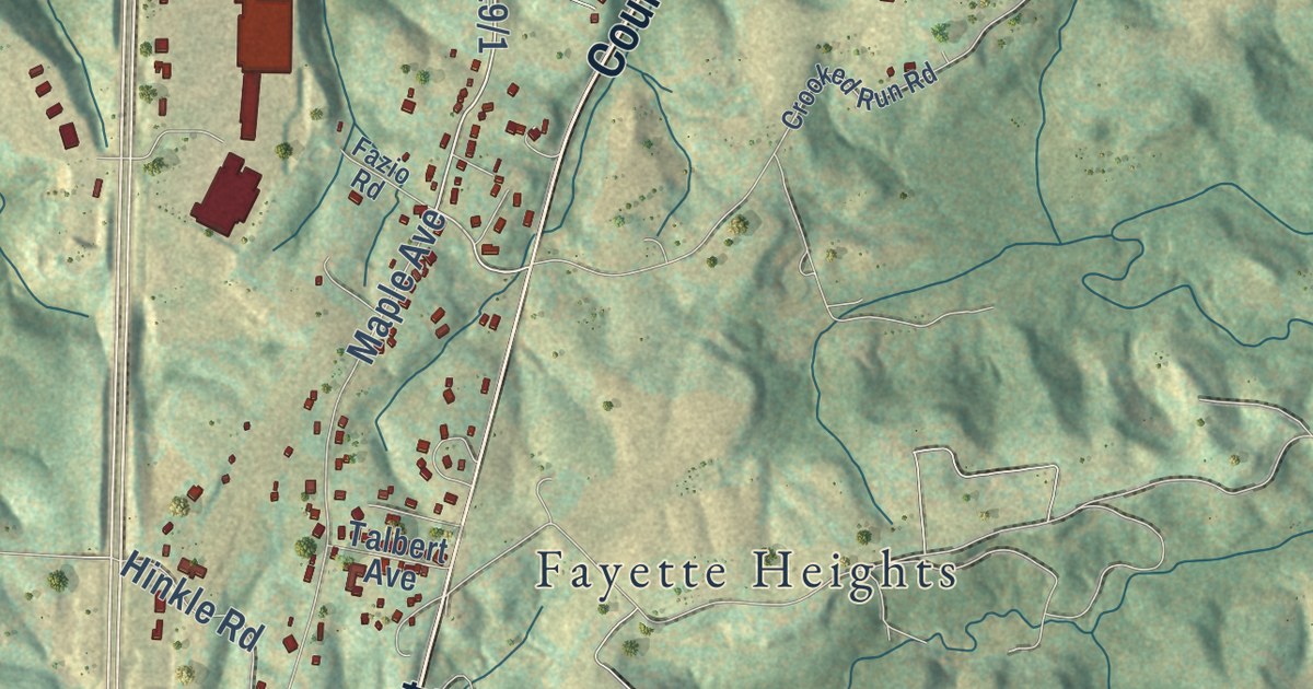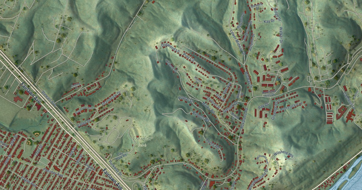
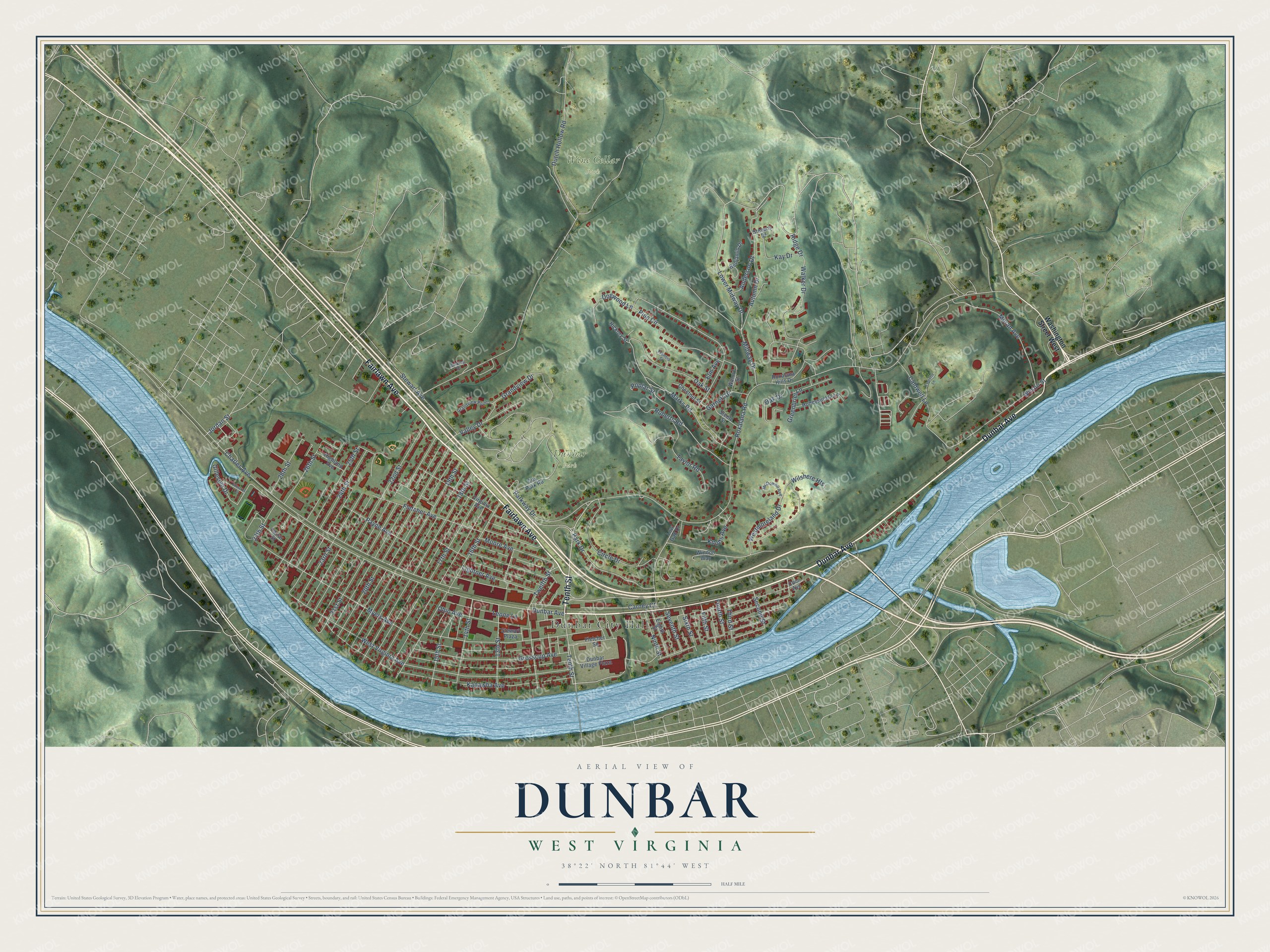
This beautifully detailed map of Dunbar, West Virginia was created in 2026 using aerial imagery combined with modern topographical, census, street and landmark data. It’s a one-of-a-kind view of Dunbar that combines accurate data with a vintage aesthetic. The map shows every building in its true location, many of the roads carry their names, and the shaded topographic relief shows the shape of the land.
Explore an aerial view of Dunbar, West Virginia
On the map you’ll find Dunbar City Hall, Dunbar Park, and Wine Cellar Park, along with Dunbar Avenue, Fairlawn Avenue, Tenth Street, Midway Drive, Twelfth Street, Ridge Drive, Westmoreland Drive, Walker Drive, West Virginia Avenue, and more. If you look closely you can even find your house accurately drawn in its correct location. Zoom in on the preview to look for yours.
Did you know this piece of Dunbar, West Virginia history?
From the West Virginia Encyclopedia: "The Dunbar-South Charleston bridge, an important connection to the south side of the Kanawha River, opened as a toll bridge in 1953."
Take a closer look at the Dunbar map
Street and place names on the Dunbar, West Virginia map
These names are printed on the map of Dunbar, West Virginia.
Places: Dunbar City Hall, Dunbar Park and Wine Cellar Park.
Streets and roads: Dunbar Avenue, Fairlawn Avenue, Tenth Street, Midway Drive, Twelfth Street, Ridge Drive, Westmoreland Drive, Walker Drive, West Virginia Avenue, Pine Circle, Roxalana Road, Charles Avenue.
More street names, A to Z
13th Street, 14th Street, 15th Street, 16th Street, 17th Street, 18th Street, 19th Street, 20th Street, 21st Street, 22nd Street, 23rd Street, 24th Street, 25th Street, 26th Street, 27th Street, 28th Street, Anderson Drive, Autumn Drive, Benjamin Drive, Caldwell Lane, Carney Court, Chestnut Street, Circle Drive, City Park Road, Coon Avenue, Dogwood Lane, Dunbar Village Plaza, Dutch Hollow Road, Edwards Circle, Eighth Street, Elm Avenue, Everette Lane, Farrar Street, Fifth Street, Fletcher Avenue, Fletcher Square, Fourth Street, Francis Street, Garking Drive, Garnett Drive, Gillespie Drive, Grandview Drive, Grandview Point, Greenbrier Lane, Grosscup Avenue, Hickory Street, Highland Avenue, Honeysuckle Lane, Jordan Street, Kanawha Avenue, Kay Drive, Knotts Avenue, Leone Lane, Lightner Avenue, Lower Midway Drive, Low Gap Drive, Marks Road, McDowell Avenue, Moore Avenue, Moran Avenue, Myers Avenue, Ninth Street, Oak Drive, Oak Street, Ohio Avenue, Park Drive, Parkway Drive, Payne Avenue, Poplar Street, Roberts Road, Roxalana Hills Drive, Second Street, Seventh Street, Sixth Street, Steele Street, Stevens Drive, Stewart Avenue, Stewart Plaza, Taylor Road, Third Street, Valley Drive, Virginia Avenue, Walnut Street, Washington Street West, Wilshere Heights, Wilson Street, Windon Way.
See the Dunbar, West Virginia map on a wall
The Dunbar map as an 18 x 24 inch print in a black frame.

This beautifully detailed map of Dunbar makes an attractive addition to your office, library, or den, and it can even be used to teach children the geography and history of the area. It also makes a great gift for anyone who grew up in Dunbar or moved away. When you’re done exploring, click here to get your copy of the Dunbar map.