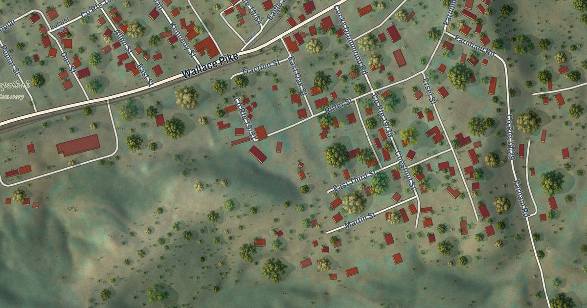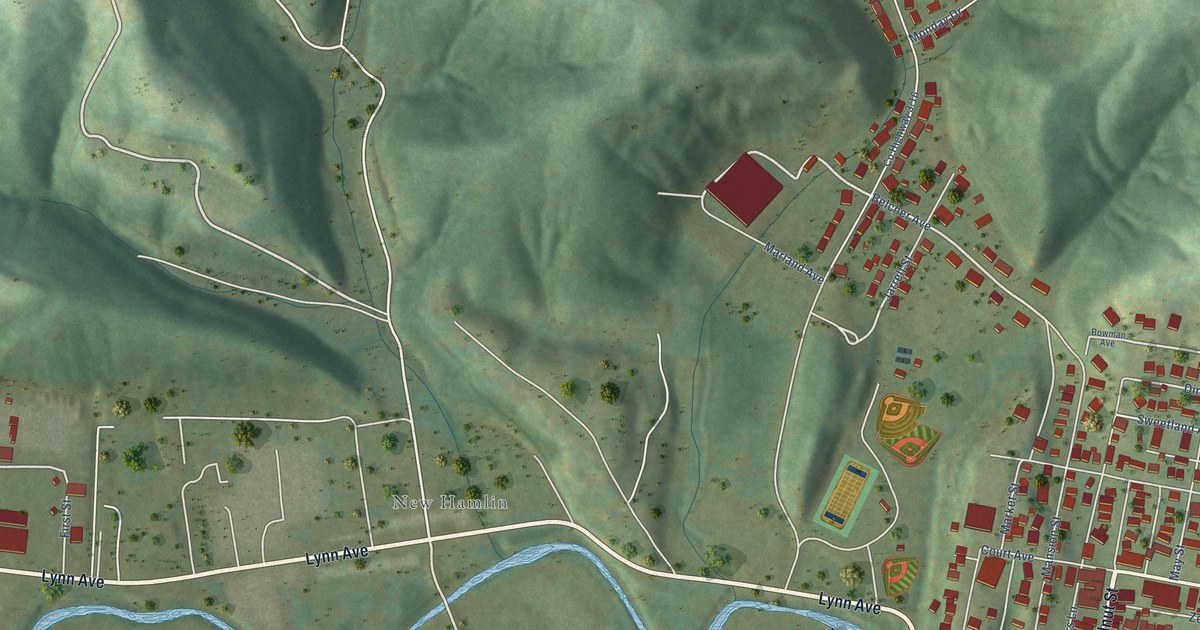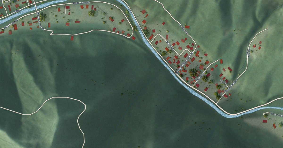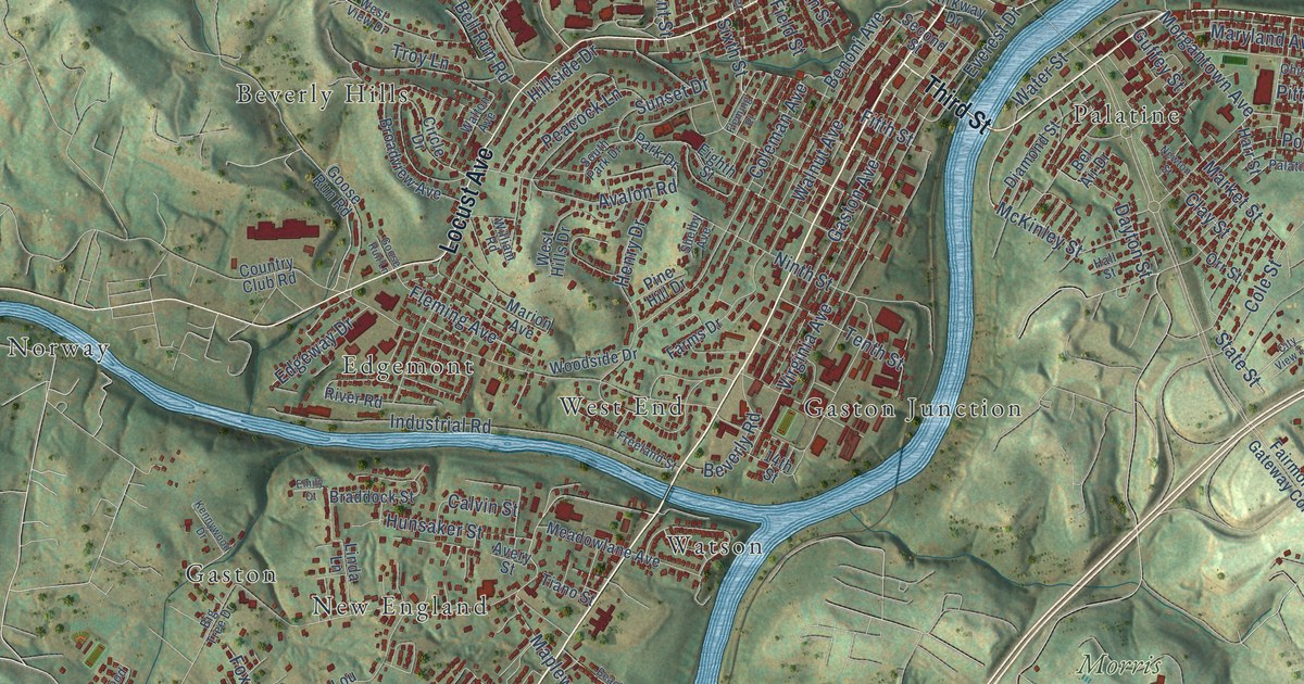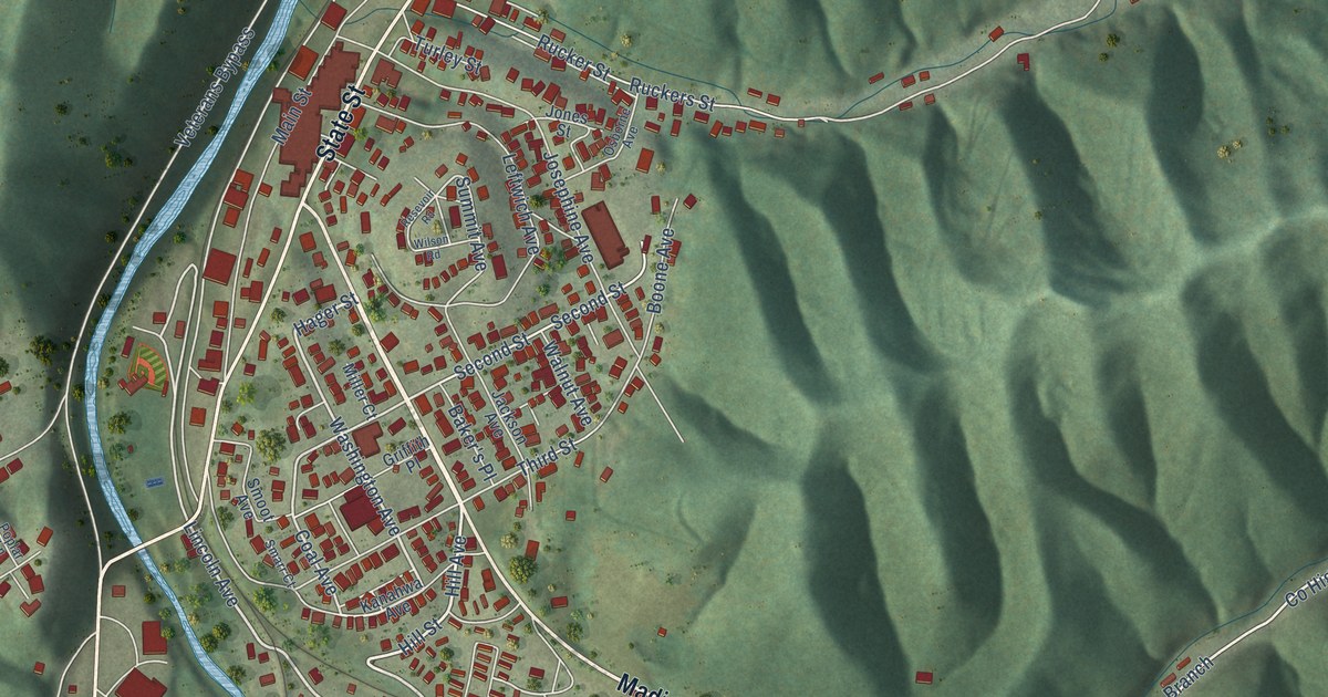
This beautifully detailed map of Madison, West Virginia was created in 2026 using aerial imagery combined with modern topographical, census, street and landmark data. It’s a one-of-a-kind view of Madison that combines accurate data with a vintage aesthetic. The map shows every building in its true location, many of the roads carry their names, and the shaded topographic relief shows the shape of the land.
Explore an aerial view of Madison, West Virginia
On the map you’ll find Price Hill and South Madison, along with Madison Avenue, State Street, Spruce Fork Road, Lee Avenue, Hill Avenue, Hill Street, Hager Street, Lincoln Avenue, Washington Avenue, Spruce Street, and more. If you look closely you can even find your house accurately drawn in its correct location. Zoom in on the preview to look for yours.
Did you know this piece of Madison, West Virginia history?
From e-WV: The West Virginia Encyclopedia: "Originally called Boone Court House, the town was renamed about 1865, presumably for James Madison, the fourth president of the United States."
Take a closer look at the Madison map
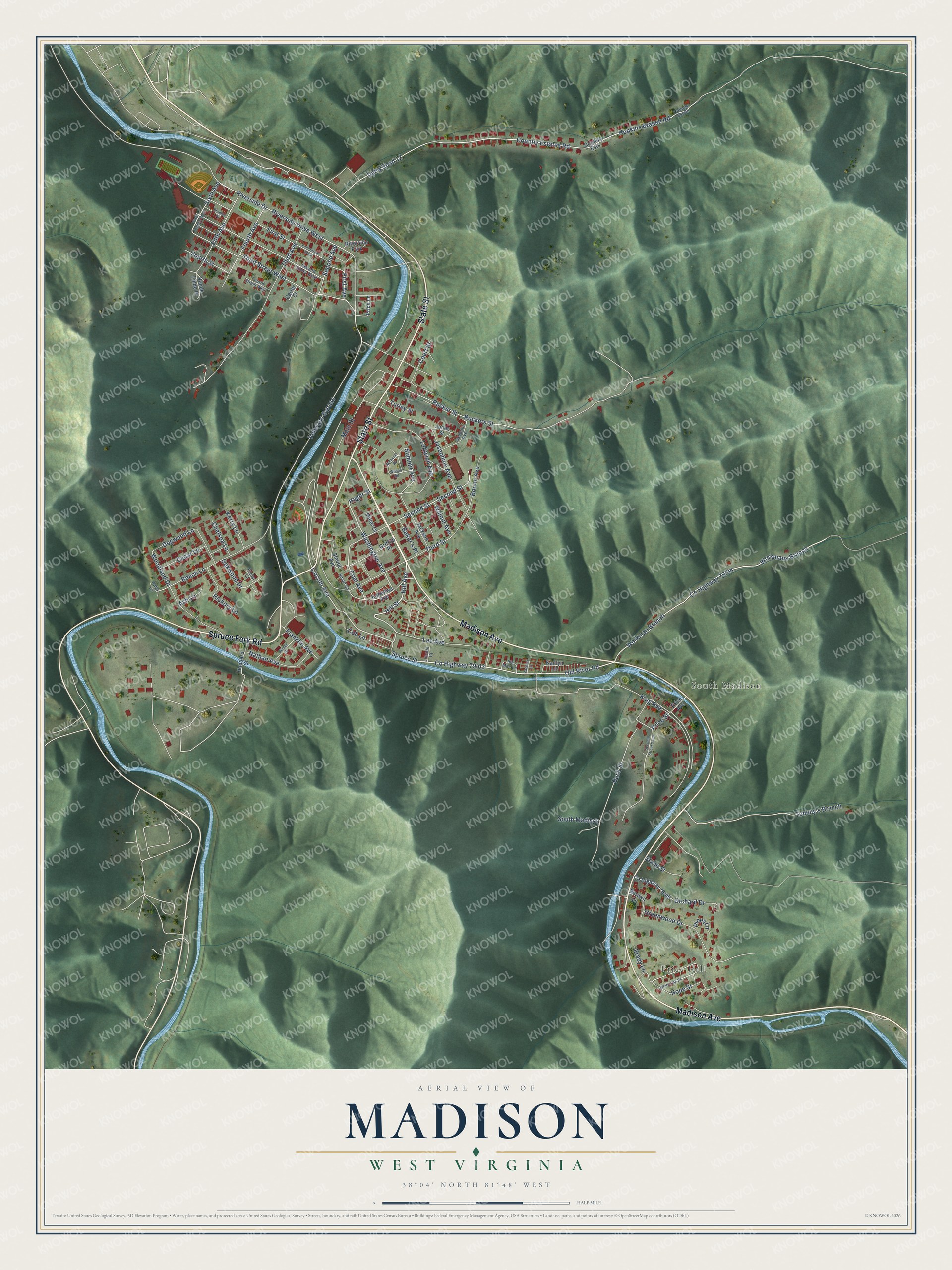
Street and place names on the Madison, West Virginia map
These names are printed on the map of Madison, West Virginia.
Places: Price Hill, South Madison and Riverside Park.
Streets and roads: Madison Avenue, State Street, Spruce Fork Road, Lee Avenue, Hill Avenue, Hill Street, Hager Street, Lincoln Avenue, Washington Avenue, Spruce Street, Old River Road, Workman Branch.
More street names, A to Z
Ash Lane, Babe Lane, Baker's Place, Beech Lane, Berwyn Lane, Boone Avenue, Bradley Place, Brady Lane, Buck Street, Carter Court, Cedar Lane, Center Street, Chelsea Lane, Coal Avenue, Country Estate, Country Estates Road, Country Ests, Court Street, Cub Lane, Delta Road 12, Dogwood Lane, Fifth Avenue, First Avenue, First Street, First Street West, Fourth Avenue, Fourth Street, Fourth Street West, Franklin Avenue, Greenwood Drive, Griffith Place, Haddard Street, Hickory Lane, Hope Street, Hopkins Branch Road, Ida Mae Lane, Jackson Avenue, Jones Street, Josephine Avenue, Kaitlyn Lane, Kanahwa Avenue, Kerry Lane, King Avenue, Leftwich Avenue, Lincoln Court, Main Street, Miller Court, Nathan Avenue, Oakwood Drive, Orchard Drive, Osborne Avenue, Piney Lane, Poplar Lane, Price Avenue, Price Lane, Price Street, Resevoir Road, Riverside Drive, Riverside Drive West, Ruckers Street, Rucker Street, Second Avenue, Second Street, Second Street South, Second Street West, Sixth Avenue, Sixth Avenue West, Smarr Court, Smoot Avenue, Stone Street, Summit Avenue, Third Avenue, Third Street, Third Street West, Tommy's Branch, Turley Street, Vande Linde Place, Veterans Bypass, Walnut Avenue, White Oak Drive, Wilson Road, Woodland Drive, Workmans Branch, Zachery Lane.
See the Madison, West Virginia map on a wall
The Madison map as an 18 x 24 inch print in a black frame.

This beautifully detailed map of Madison makes an attractive addition to your office, library, or den, and it can even be used to teach children the geography and history of the area. It also makes a great gift for someone who left Madison and still calls it home. When you’re done exploring, click here to get your copy of the Madison map.