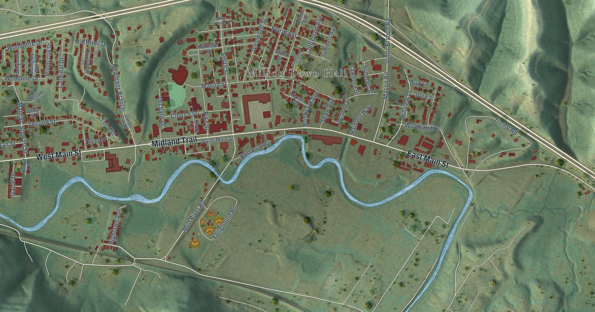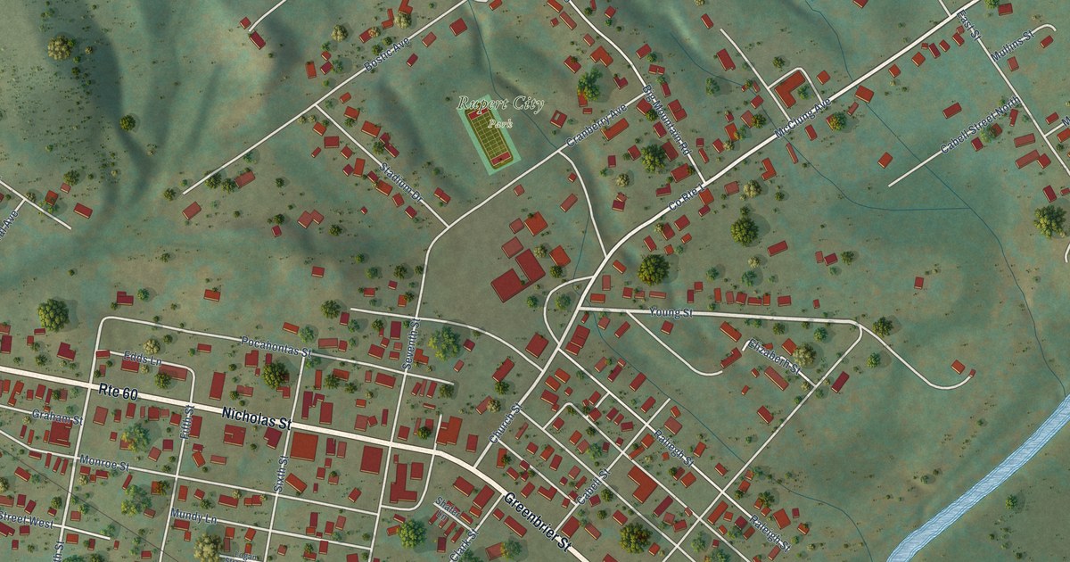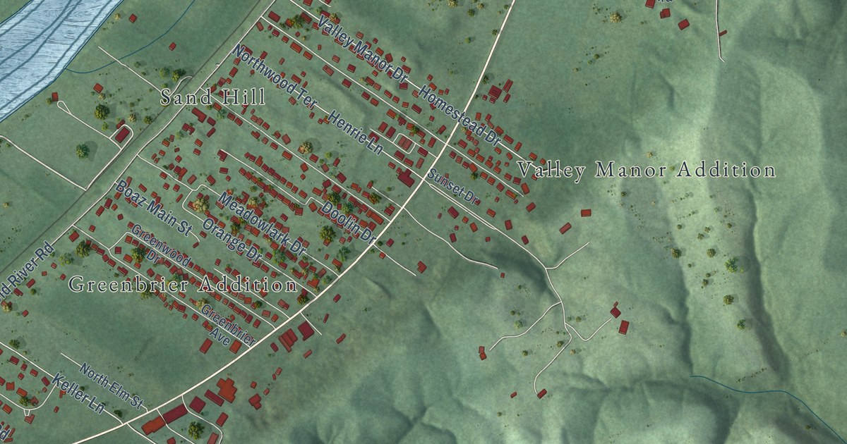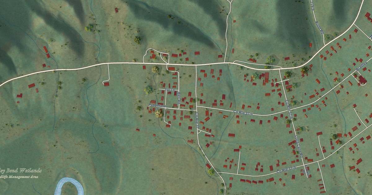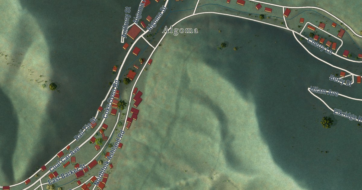
This beautifully detailed map of Northfork, West Virginia was created in 2026 using aerial imagery combined with modern topographical, census, street and landmark data. It’s a one-of-a-kind view of Northfork that combines accurate data with a vintage aesthetic. The map shows every building in its true location, many of the roads carry their names, and the shaded topographic relief shows the shape of the land.
Explore an aerial view of Northfork, West Virginia
On the map you’ll find Algoma, along with Coal Heritage Road, East Main Street, Coal Car Avenue, Coke Oven Road, First Street, Broadway Street, Third Street, Algoma Street, Elkhorn Street, East McDowell Street, Barker Street, and more. If you look closely you can even find your house accurately drawn in its correct location. Zoom in on the preview to look for yours.
Did you know this piece of Northfork, West Virginia history?
In 1966 Northfork’s high school joined with the all Black Elkhorn High, ending segregation in eastern McDowell County. Jennings Boyd became coach of the new integrated team. From 1974 through 1981, the Northfork Blue Demons won eight state titles in a row. They played 47 tournament games in that span and never lost one. That’s from e-WV: The West Virginia Encyclopedia.
Take a closer look at the Northfork map
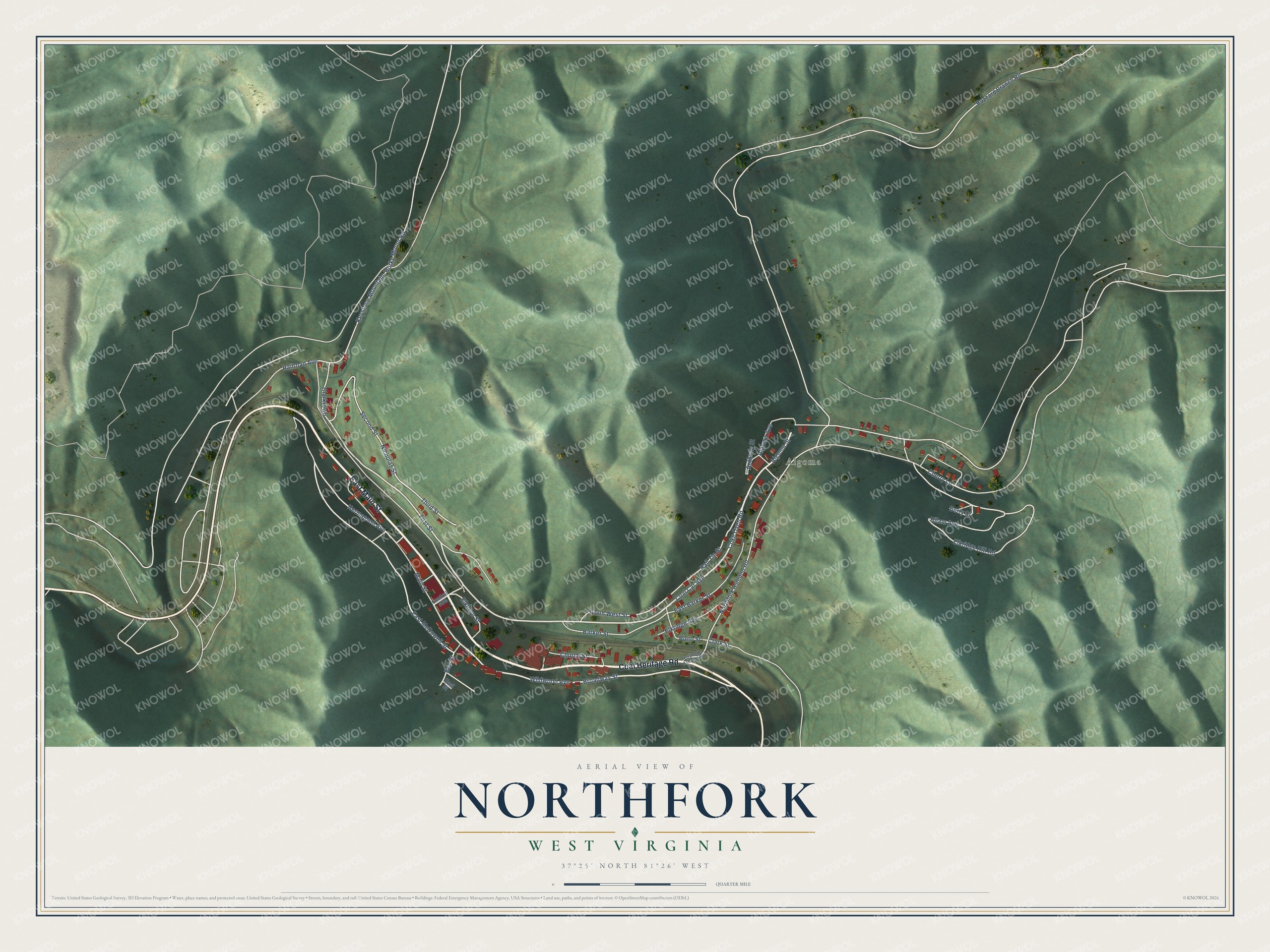
Street and place names on the Northfork, West Virginia map
These names are printed on the map of Northfork, West Virginia.
Places: Algoma.
Streets and roads: Coal Heritage Road, East Main Street, Coal Car Avenue, Coke Oven Road, First Street, Broadway Street, Third Street, Algoma Street, Elkhorn Street, East McDowell Street, Barker Street, Pinto Street.
More street names, A to Z
Algoma Avenue, Anthony Street, Bell Street, Berry Street, Buzzard Branch Road, Central Avenue, Cherry Lane, Church Street, Clark Street, Clarktown, East Barker Street, East Street, Elkridge Avenue, Elkridge Hill Road, Hermanson Avenue, Hilam Avenue, Keystone Mountain- Burke Mount Road, Main Street, Nicholas Street, Northfolk- Ashland Road, Northfolk Ashland Road, North West Street, Railroad Avenue, Rail Tie Street, Second Street, Wildwood Avenue.
See the Northfork, West Virginia map on a wall
The Northfork map as an 18 x 24 inch print in a black frame.

This beautifully detailed map of Northfork makes an attractive addition to your office, library, or den, and it can even be used to teach children the geography and history of the area. It also makes a great gift for someone who left Northfork and still calls it home. When you’re done exploring, click here to get your copy of the Northfork map.