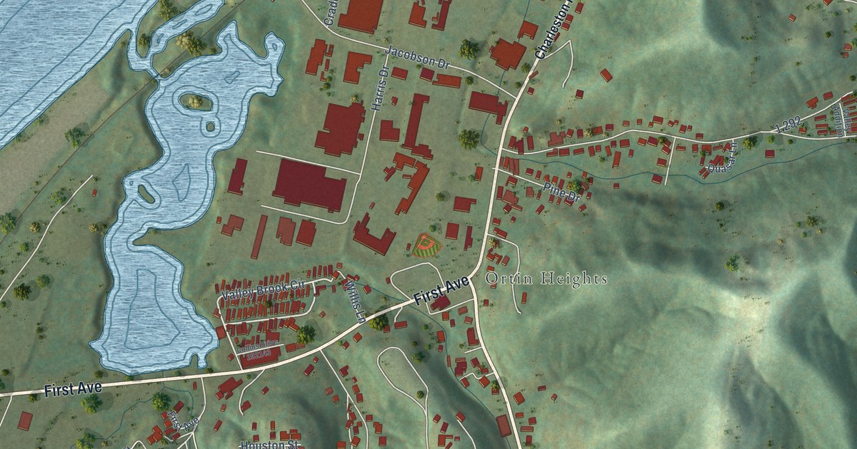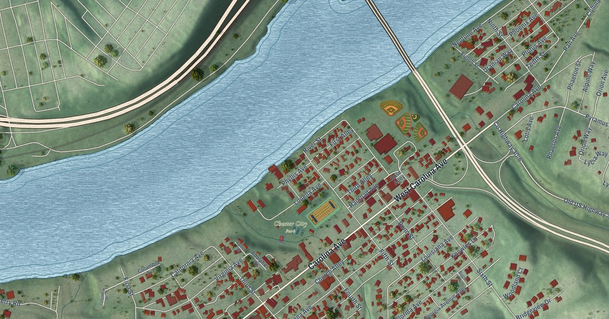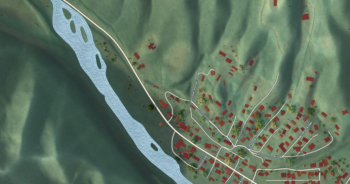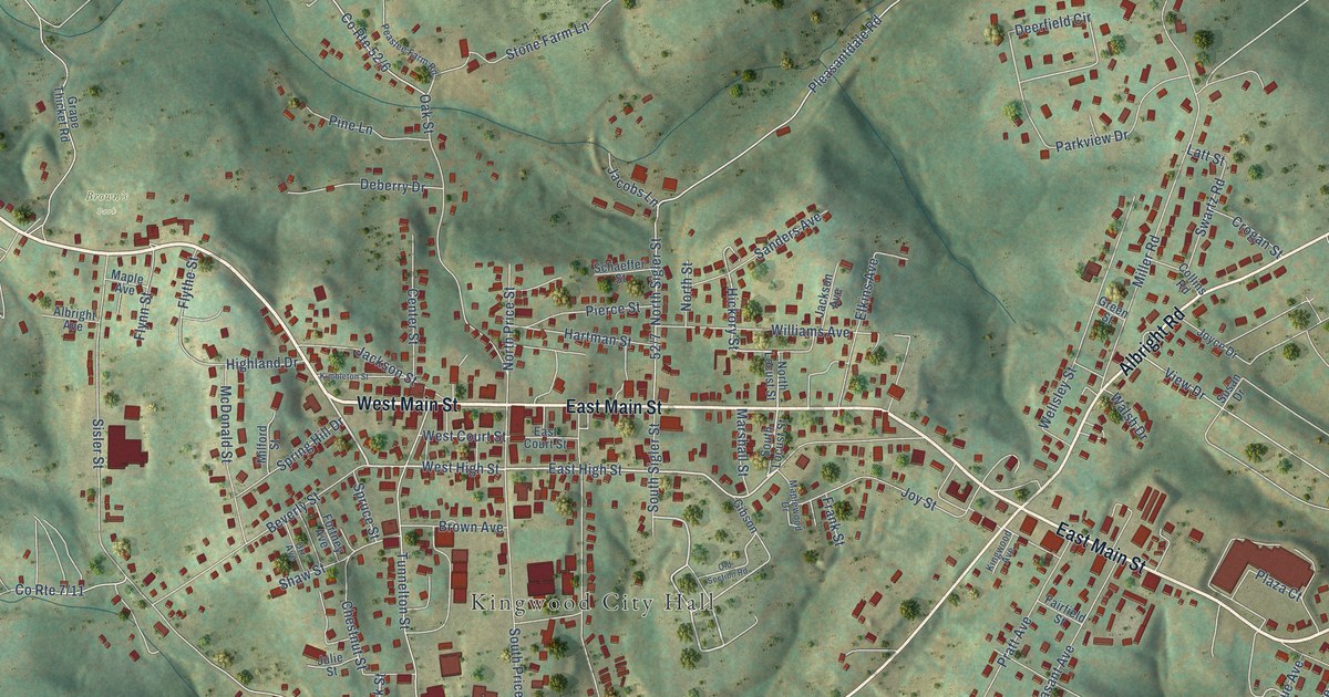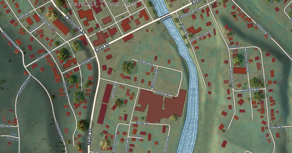
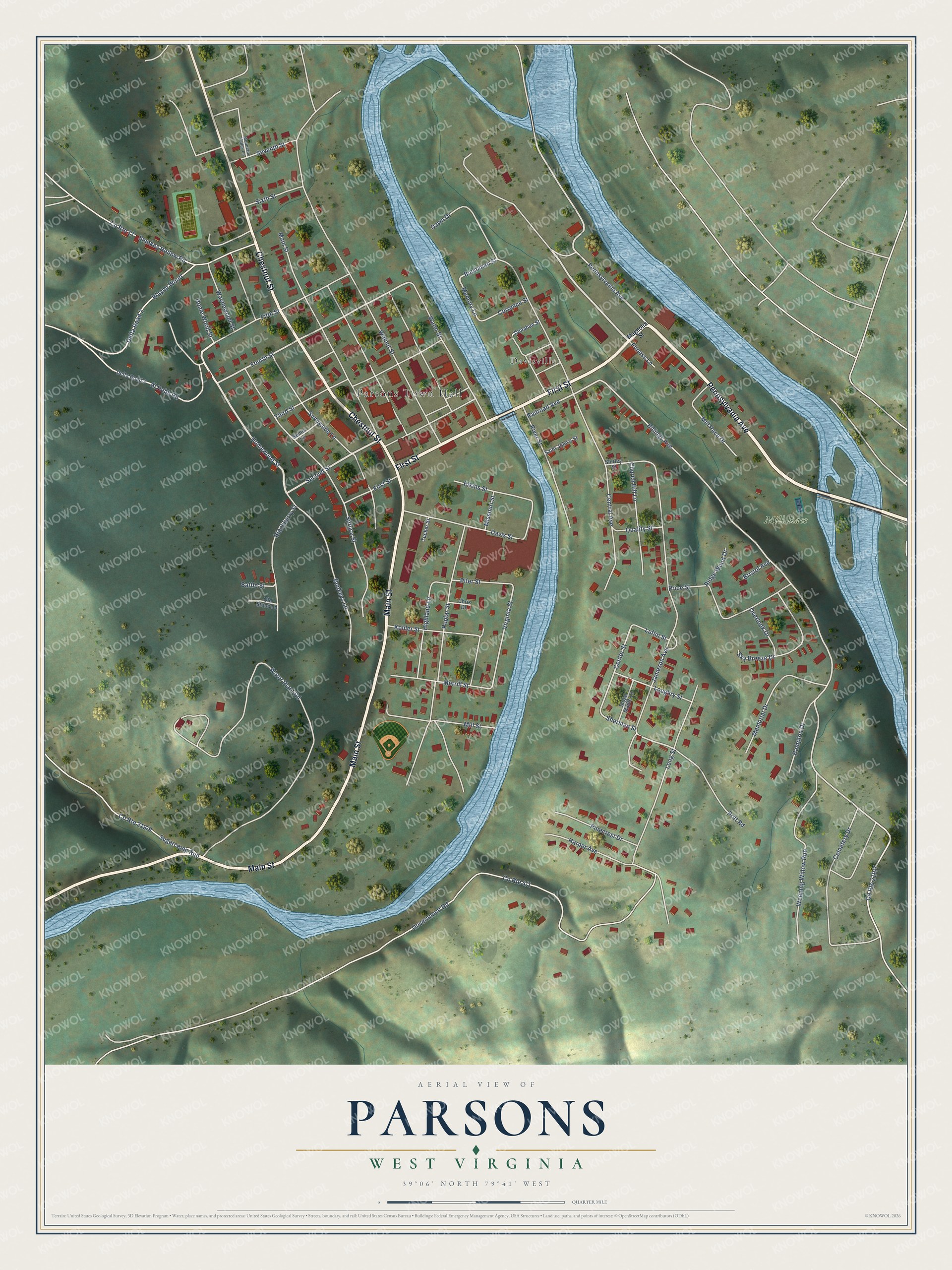
This beautifully detailed map of Parsons, West Virginia was created in 2026 using aerial imagery combined with modern topographical, census, street and landmark data. It’s a one-of-a-kind view of Parsons that combines accurate data with a vintage aesthetic. The map shows every building in its true location, many of the roads carry their names, and the shaded topographic relief shows the shape of the land.
Explore an aerial view of Parsons, West Virginia
On the map you’ll find Parsons Town Hall, Davisville, and Mill Race, along with Pennsylvania Avenue, First Street, Chestnut Street, Main Street, Homewood Street, Second Street, Al Hebb Road, Fourth Street, Railroad Avenue, and more. If you look closely you can even find your house accurately drawn in its correct location. Zoom in on the preview to look for yours.
Did you know this piece of Parsons, West Virginia history?
From e-WV: The West Virginia Encyclopedia: "Parsons was named for Ward Parsons, not the first settler but the most prominent and the largest landholder."
Take a closer look at the Parsons map
Street and place names on the Parsons, West Virginia map
These names are printed on the map of Parsons, West Virginia.
Places: Parsons Town Hall, Davisville and Mill Race.
Streets and roads: Pennsylvania Avenue, First Street, Chestnut Street, Main Street, Homewood Street, Second Street, Al Hebb Road, Fourth Street, Railroad Avenue, Buchanan Street, Billings Avenue, Third Street.
More street names, A to Z
Battle Street, Blackberry Street, Bristol Avenue, Bunkeys Lane, Cemetery Drive, Center Street, Central Avenue, Chris Drive, Church Hill Lane, County Route 17, Currence Street, Davis Street, Dawn Drive, Delta Road 2, Delta Road 3, Donahue Street, Elkins Street, Fifth Street, Fitness Lane, Government Road, Hampton Drive, Harper Avenue, Highland Lane, Home Wood Street, Jameson Avenue, Kohler Street, Long Street, Loughry Street, Luflin Street, Magnolia Street, Memorial Drive, Memory Lane, Merrill Street, Mill Race Drive, Mill Street, Missouri Street, Mountain Valley Lane, Old Stone Lane, Overlook Drive, Pifer Street, Pinecrest Drive, Poplar Street, Price Street, Pritt Road, Quality Street, Ridge Wood Drive, River Street, Saint John's Street, Senior Lane, Seventh Street, Sherman Street, Shirley Street, Sixth Street, Sky Breeze Drive, Smokey Hollow Road, Spruce Street, Sugarcamp Run, Sugar Maple Lane, Sunnyside Lane, Tucker Street, Virginia Street, Walnut Street, Water Plant Road, Water Street, Wayne Wood, Waynewood Street, Weeping Willow Run.
See the Parsons, West Virginia map on a wall
The Parsons map as an 18 x 24 inch print in a black frame.

This beautifully detailed map of Parsons makes an attractive addition to your office, library, or den, and it can even be used to teach children the geography and history of the area. It also makes a great gift for someone who left Parsons and still calls it home. When you’re done exploring, click here to get your copy of the Parsons map.