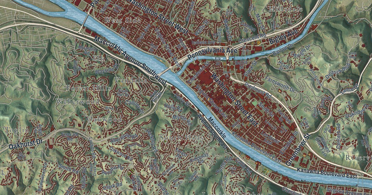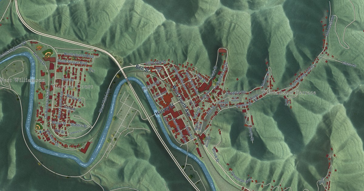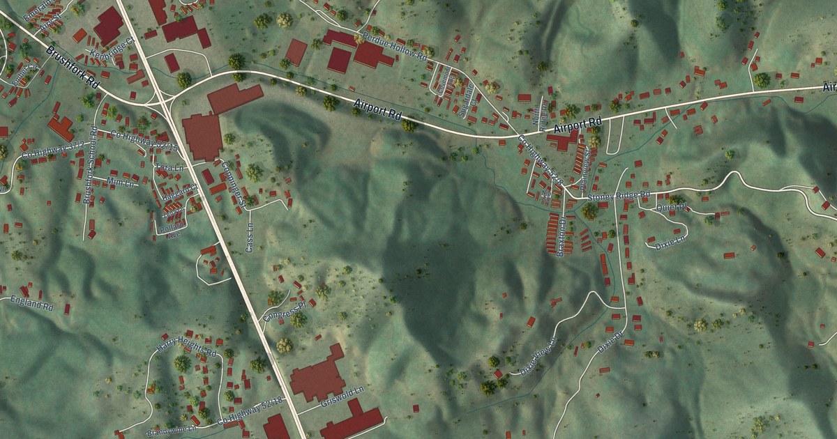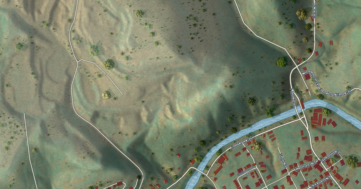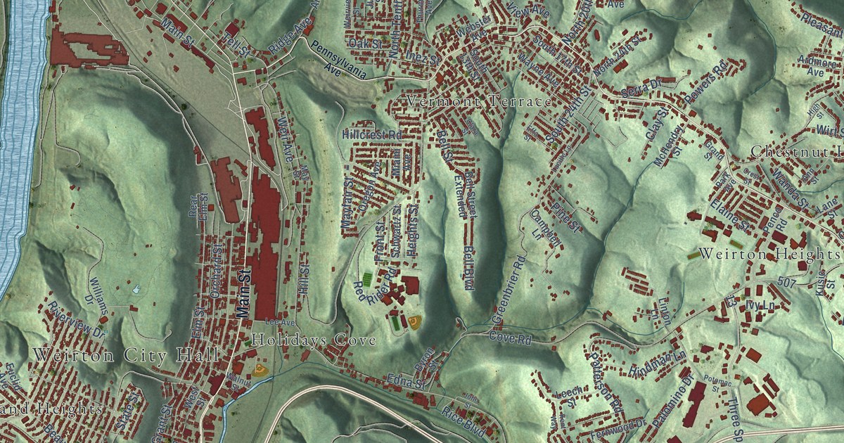
This beautifully detailed map of Weirton, West Virginia was created in 2026 using aerial imagery combined with modern topographical, census, street and landmark data. It’s a one-of-a-kind view of Weirton that combines accurate data with a vintage aesthetic. The map shows every building in its true location, many of the roads carry their names, and the shaded topographic relief shows the shape of the land.
Explore an aerial view of Weirton, West Virginia
On the map you’ll find Weirton City Hall, Chestnut Hill, Colliers, Holidays Cove, Kings Creek, Logrow, Marland Heights, Pleasant Valley, Weircrest, and Weirton Heights, along with Vermont Terrace, Main Street, and more. If you look closely you can even find your house accurately drawn in its correct location. Zoom in on the preview to look for yours.
Did you know this piece of Weirton, West Virginia history?
From the West Virginia Encyclopedia: "Weirton, located in southern Hancock and northern Brooke counties, is an industrial city once dominated by Weirton Steel Company, once the largest private employer in West Virginia and the state’s first billion-dollar corporation."
Take a closer look at the Weirton map
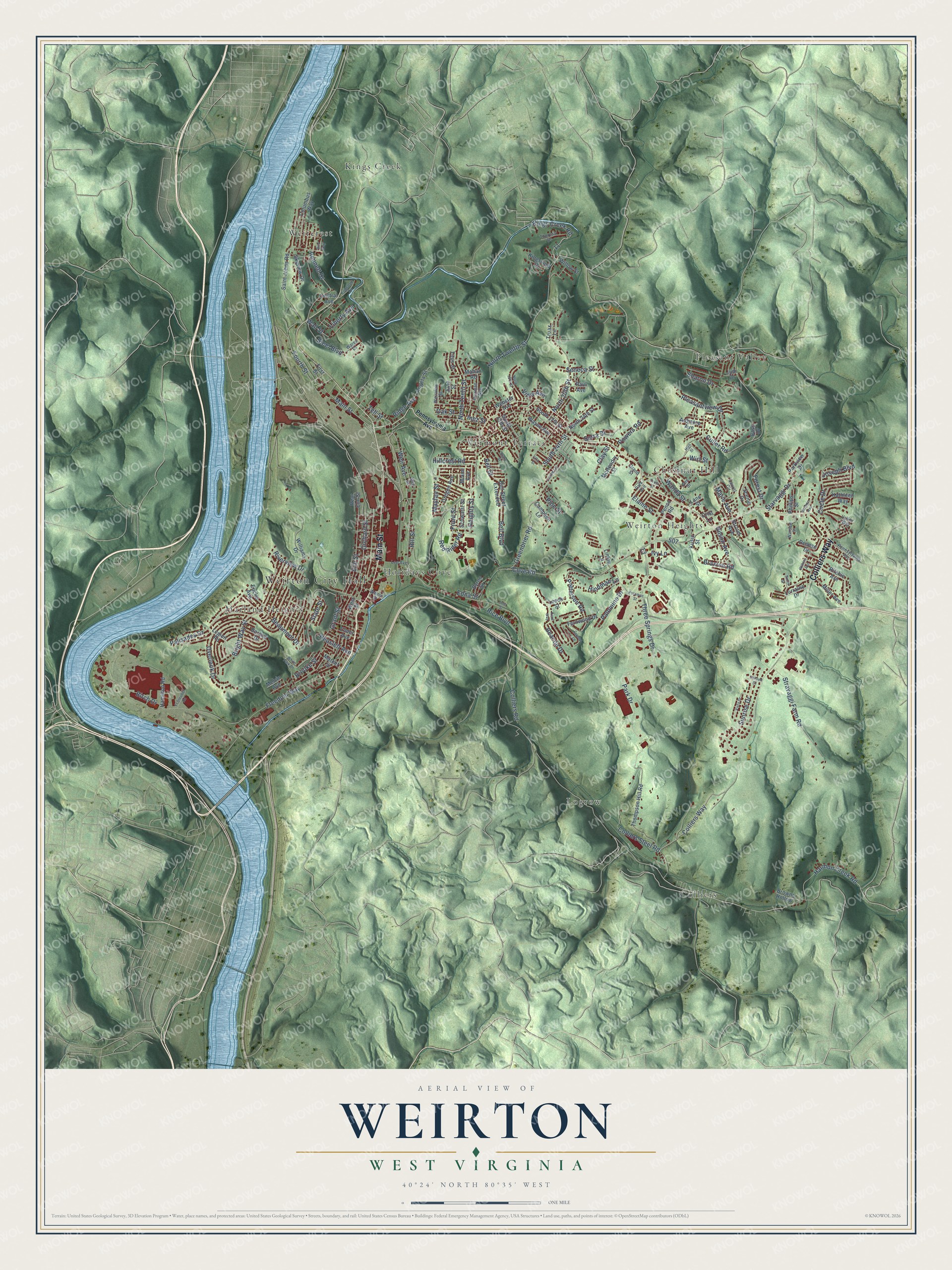
Street and place names on the Weirton, West Virginia map
These names are printed on the map of Weirton, West Virginia.
Places: Weirton City Hall, Chestnut Hill, Colliers, Holidays Cove, Kings Creek, Logrow, Marland Heights, Pleasant Valley, Vermont Terrace, Weircrest and Weirton Heights.
Streets and roads: Main Street, Colliers Way, Weir Avenue, Tell Street, Three Springs Drive, Fourth Street, North Twelfth Street, Bright Way Street, Cove Road, Culler Road, Harmon Creek Road, Birch Drive.
More street names, A to Z
Angela Street, Ann Street, Ardmore Avenue, Barone Drive, Bass Drive, Beacon Drive, Beaumont Drive, Bell Boulevard, Bell Street, Bell Street Extended, Bennett Drive, Bird Way, Braxton Road, Brooke Street, Browns Hollow, Byron Street, Campbell Lane, Central Avenue, Circle Drive, Clara Street, Clay Street, Colliers Road, Colliers Steel Road, Columbus Way, Colwell Court, Crest Street, Crist Lane, Crystal Lane, Denese Drive, Edna Street, Effa Street, Elaine Street, Elmer Avenue, Elm Street, Euclid Avenue, Fernwood Drive, First Street, Forest Drive, Freedom Way, Front Street, Ft Steuben Road, Gilson Avenue, Grand Street, Grant Street, Greenbrier Road, Hamilton Road, Harmon Avenue, Heaslett Avenue, Heights Street, High Street, Hillcrest Road, Hill Street, Hindman Lane, Inez Street, Ivy Lane, John Street, Joseph Boulevard, Judi Drive, June Street, Kathleen Way, Kent Way, Kings Creek Road, Kingsdale Road, Kingsview Drive, Kusic Street, Lane Street, Laurel Circle, Lee Avenue, Leech Street, Legion Road, Liberty Avenue, Linton Lane, Lorraine Drive, Lucille Lane, Mahan Road, Marie Avenue, Market Street, Mayfair Street, May Street, McHendry Street, Melvin Avenue, Miami Avenue, Miller Avenue, North 15th Street, North 20th Street, North 24th Street, North Tenth Street, Oak Street, Orchard Street, Oregon Avenue, Overlook Drive, Palisades Drive, Palomino Drive, Park Avenue, Park Drive, Parkview Drive, Patterson Road, Paul Avenue, Penco Road, Pennsylvania Avenue, Phillips Street, Pine Street, Pleasantview Drive, Potomac Street, Powers Road, Rear Elm Street, Red Rider Road, Rice Boulevard, Ridge Avenue, Ritchie Avenue, Riverview Drive, Saint Johns Road, Scenic Drive, Schwartz Street, Seneca Street, Serra Drive, Sharon Drive, Skyview Drive, Smith Street, South 13th Street, South 17th Street, South 24th Street, Starvaggi Drive, State Street, Steel Boulevard, Stravaggi Farm Road, Stroud Avenue, Sunrise Drive, Theresa Drive, Thompson Hill Road, Thurman Avenue, Titus Street, Truax Lane, Valley Way, View Avenue, Vista Drive, Wall Street, Walnut Street, Wanda Street, Wares Drive, Warsaw Street, Wayne Avenue, Webster Avenue, Weirview Street, West Street, White Park Drive, Wilkins Avenue, Williams Drive, Willow Street, Wirt Street.
See the Weirton, West Virginia map on a wall
The Weirton map as an 18 x 24 inch print in a black frame.

This beautifully detailed map of Weirton makes an attractive addition to your office, library, or den, and it can even be used to teach children the geography and history of the area. It also makes a great gift for anyone who grew up in Weirton or moved away. When you’re done exploring, click here to get your copy of the Weirton map.