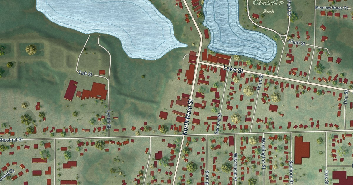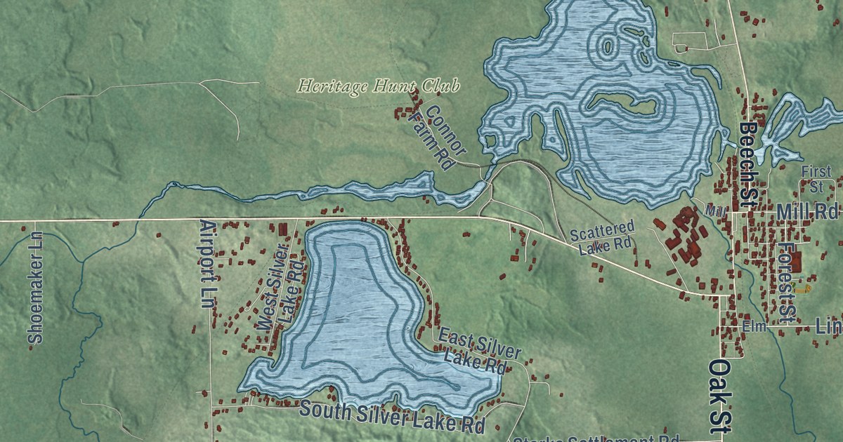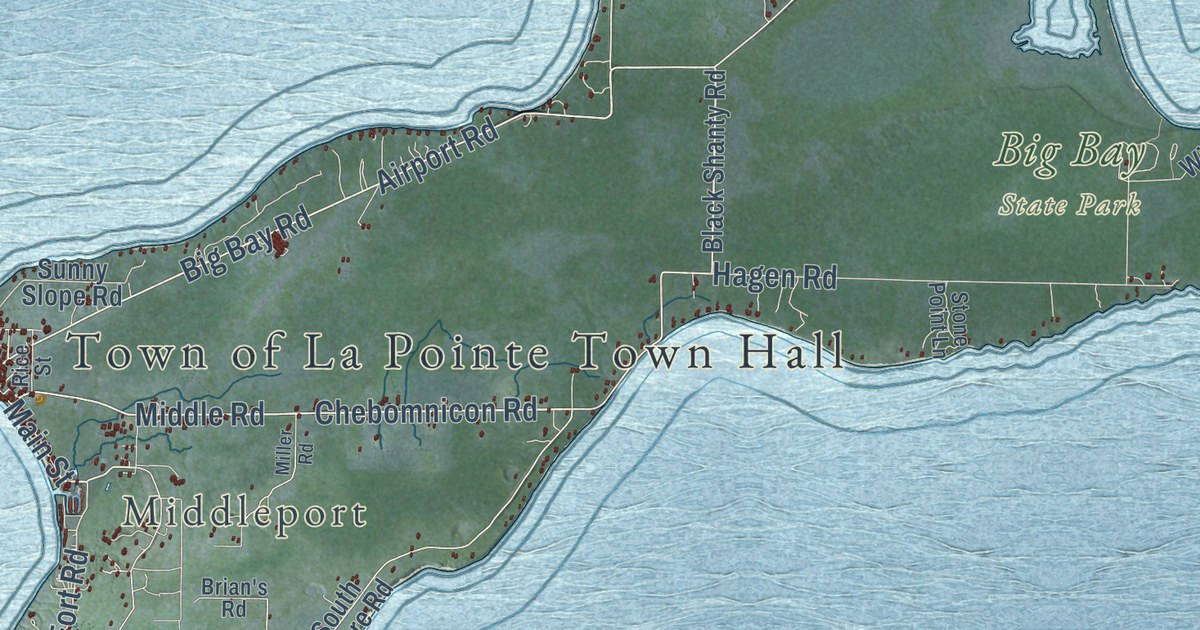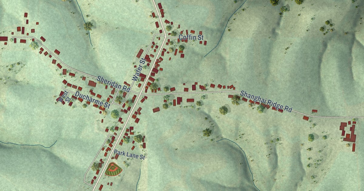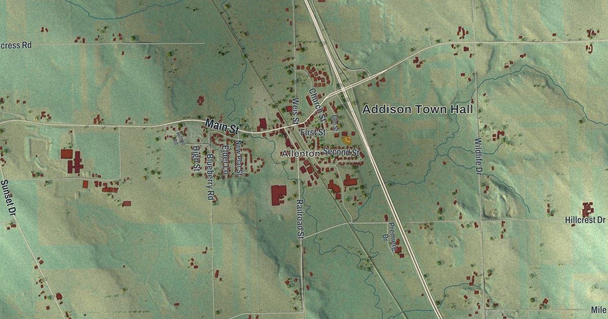
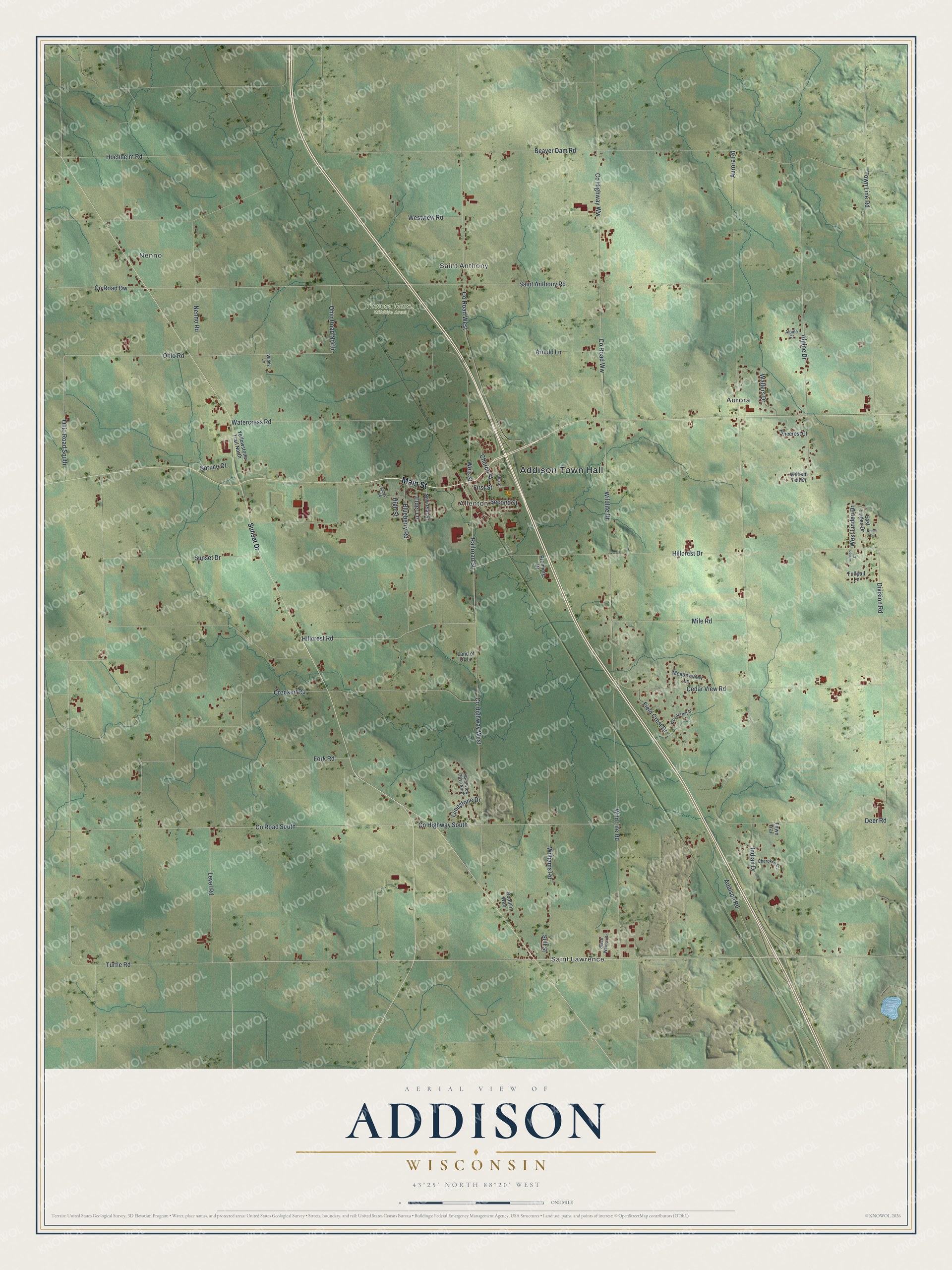
This beautifully detailed map of Addison, Wisconsin was created in 2026 using aerial imagery combined with modern topographical, census, street and landmark data. It’s a one-of-a-kind view of Addison that combines accurate data with a vintage aesthetic. The map shows every building in its true location, many of the roads carry their names, and the shaded topographic relief shows the shape of the land.
Explore an aerial view of Addison, Wisconsin
On the map you’ll find Addison Town Hall, Nenno, Saint Lawrence, Aurora, Saint Anthony, Allenton, and Theresa Marsh Wildlife Area, along with Main Street, Hillcrest Drive, Hillcrest Road, Railroad Street, and more. If you look closely you can even find your house accurately drawn in its correct location. Zoom in on the preview to look for yours.
Did you know this piece of Addison, Wisconsin history?
Addison’s first federal land purchase came in 1843, when Simeon Aaron Andrews bought 40 acres. A few actual settlers followed during the next two years. That’s from the 1881 History of Washington and Ozaukee Counties, Wisconsin.
Take a closer look at the Addison map
Street and place names on the Addison, Wisconsin map
These names are printed on the map of Addison, Wisconsin.
Places: Addison Town Hall, Nenno, Saint Lawrence, Aurora, Saint Anthony, Allenton and Theresa Marsh Wildlife Area.
Streets and roads: Main Street, Hillcrest Drive, County Road West, Hillcrest Road, Railroad Street, Ohio Road, Ohio Road South, Wildlife Drive, West Linden Drive, Cedar View Road, County Road Dw, Addison Road.
More street names, A to Z
Alpine Court, Alpine Drive, Arnold Lane, Aurora Road, Beaver Dam Road, Black Walnut Drive, Blueberry Road, Cherokee Court, Church Street, County Highway South, County Highway West, County Highway Ww, County Road South, County Road Ww, Crooked Road, Deer Road, Division Road, East Linden Drive, Elder Lane, Elm Street, Fawn Trail, Field Crest Drive, First Street, Fork Road, Fullpail Lane, High Street, Hilltop Road, Hochheim Road, Indian Drive, Land of Oz Lane, Level Road, Limestone Drive, Linden Court, Marshview Drive North, Meadowview Lane, Mile Road, Nener Drive, Nenno Road, New Plat Street, Ohio Road North, Pinecrest Court, Premiere Drive, Roam'n Way, Saint Anthony Road, Second Street, Sell Street, Spruce Court, Sunset Drive, Town Line Road, Turtle Road, Walters Drive, Watercress Road, Weis Street, Westview Road, Wild Life Road, Williams Road, William Tell Drive, Windy Lane, Woodcrest Drive, Yellowstone Trail North.
See the Addison, Wisconsin map on a wall
The Addison map as an 18 x 24 inch print in a black frame.

This beautifully detailed map of Addison makes an attractive addition to your office, library, or den, and it can even be used to teach children the geography and history of the area. It also makes a great gift for anyone with Addison roots. When you’re done exploring, click here to get your copy of the Addison map.