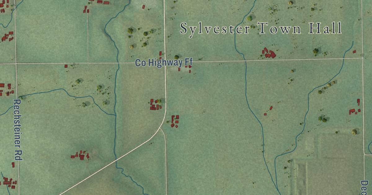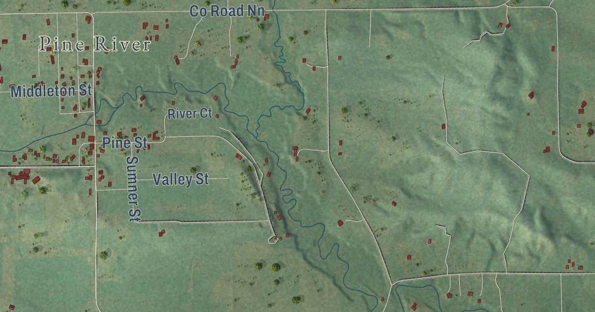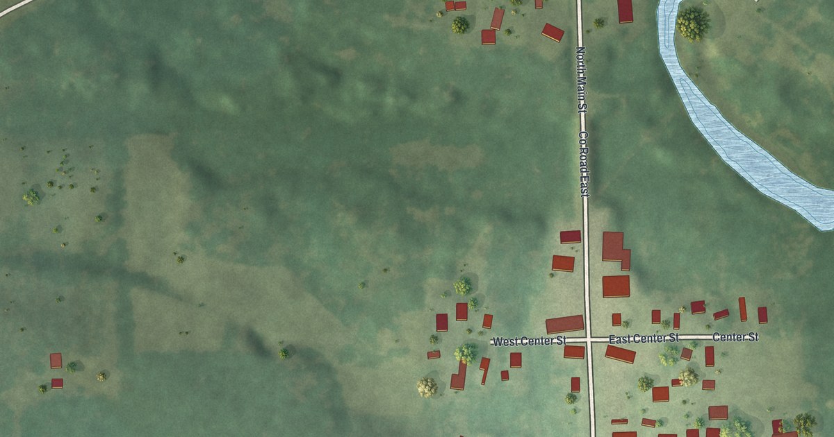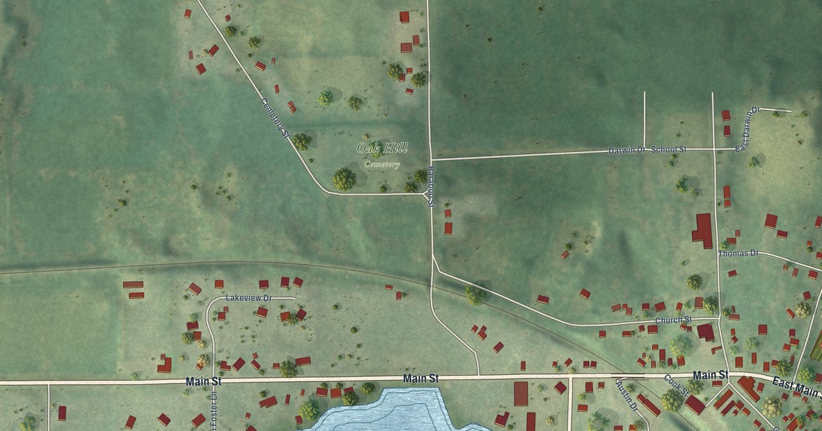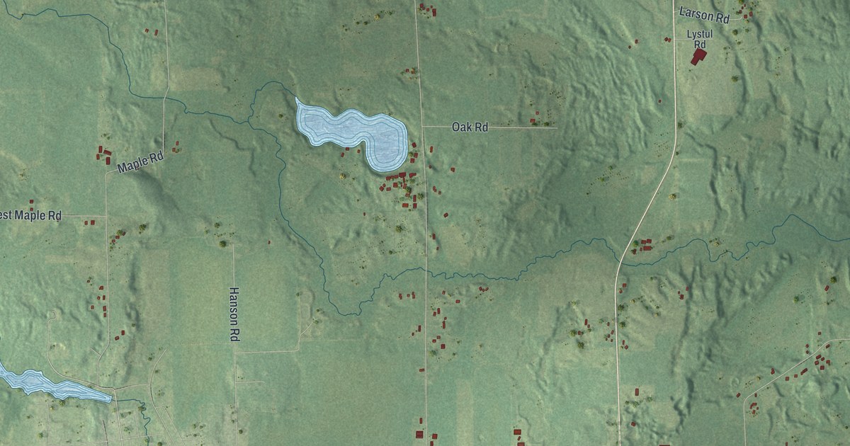
This beautifully detailed map of Alban, Wisconsin was created in 2026 using aerial imagery combined with modern topographical, census, street and landmark data. It’s a one-of-a-kind view of Alban that combines accurate data with a vintage aesthetic. The map shows every building in its true location, many of the roads carry their names, and the shaded topographic relief shows the shape of the land.
Explore an aerial view of Alban, Wisconsin
On the map you’ll find Collins Park and Town Road Nn, along with Grand Avenue East, Saint Adalberts Road, Linden Road, North Lakeview Road, Lost Road, Cedar Road, County Road OO, East Saumer Road, Maple Road, Wigwam Road, and more. If you look closely you can even find your house accurately drawn in its correct location. Zoom in on the preview to look for yours.
Did you know this piece of Alban, Wisconsin history?
From the Portage County Historical Society: "J. G. Rosholt, born in Waupaca County of Norwegian parents, had a sawmill in that county and brought it to Alban and it was erected using the water of the Flume Creek for power, and soon some houses were built near it forming a village."
Take a closer look at the Alban map
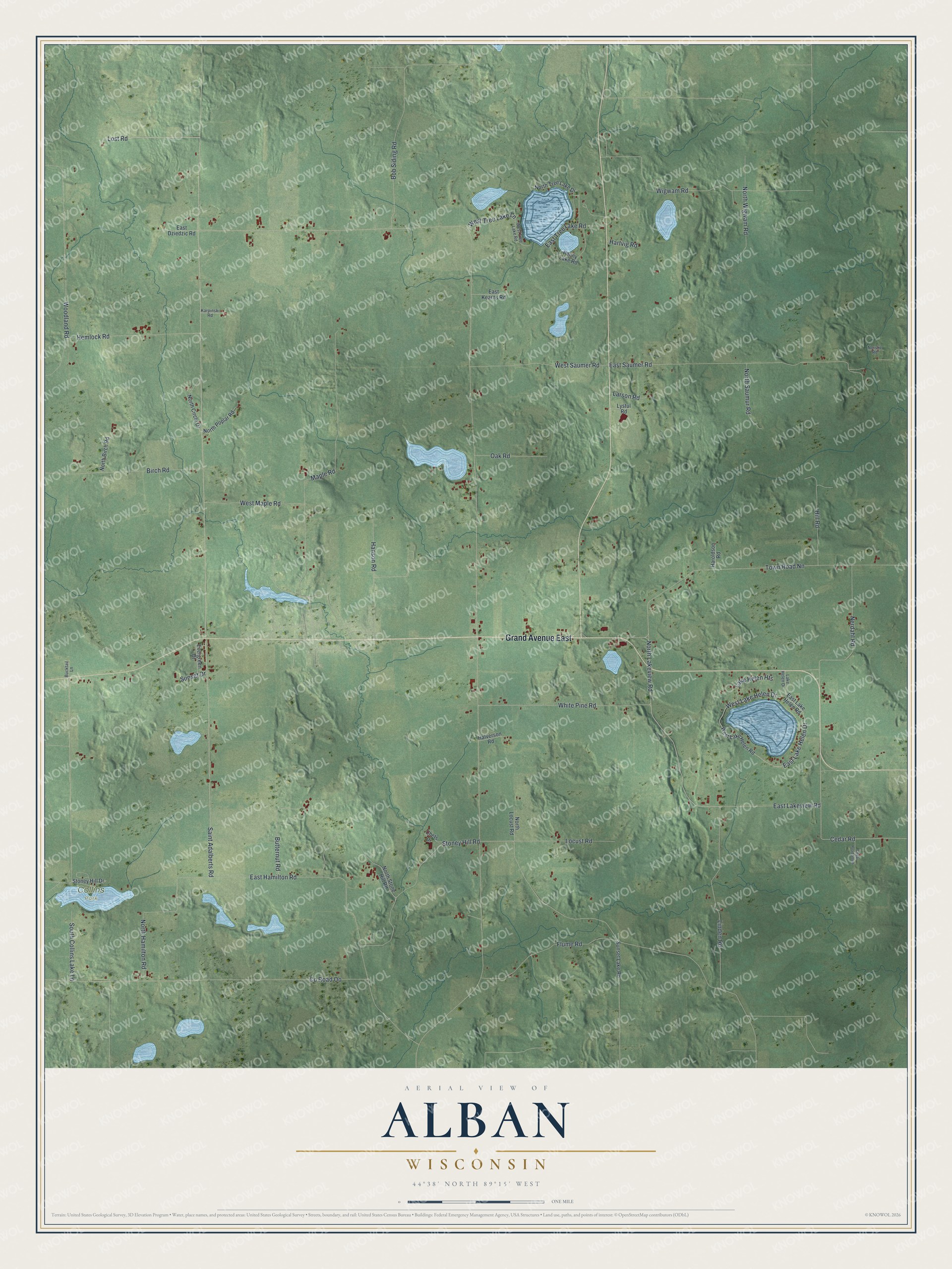
Street and place names on the Alban, Wisconsin map
These names are printed on the map of Alban, Wisconsin.
Places: Collins Park.
Streets and roads: Grand Avenue East, Saint Adalberts Road, Linden Road, North Lakeview Road, Lost Road, Cedar Road, Town Road Nn, County Road Oo, East Saumer Road, Maple Road, Wigwam Road, East Hamilton Road.
More street names, A to Z
Birch Road, Bob Siding Road, Bucktail Lane, Butternut Road, Cedar Road South, Chets Drive, East Dziedzic Road, East Kearns Road, East Lake Helen Drive, East Lake Helen Road, East Lakeview Road, East Tree Lake Road, Evergreen Drive, Flume Road, Halverson Road, Hanson Road, Haroldson Road, Hartvig Road, Hemlock Road, Hill Road, Karpinski Road, Lake Helen Drive, Lake Helen Heights, Larson Road, Locust Road, Lystul Road, Nerdahl Road, Norske Road, North Birch Road, North Circle Drive, North Hamilton Road, North Locust Road, North Poplar Road, North Saumur Road, North Stone Hill Road, North Tree Lake Drive, North Wigwam Road, Oak Road, Penny Lake Road, South Collins Lake Lane, Stoney Hill Drive, Stoney Hill Road, Sunset Drive, Sunset Lake Road, West Lake Helen Drive, West Lake Helen Road, West Maple Road, West Saumer Road, West Tree Lake Lane, West Tree Lake Road, White Pine Road, Woodland Road.
See the Alban, Wisconsin map on a wall
The Alban map as an 18 x 24 inch print in a black frame.

This beautifully detailed map of Alban makes an attractive addition to your office, library, or den, and it can even be used to teach children the geography and history of the area. It also makes a great gift for someone who left Alban and still calls it home. When you’re done exploring, click here to get your copy of the Alban map.