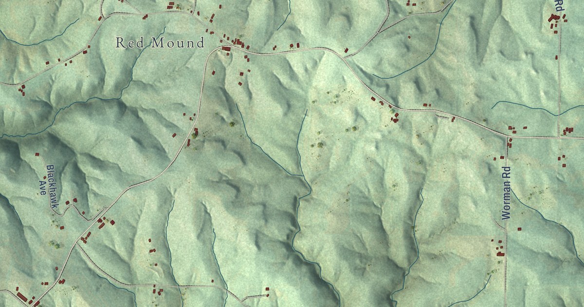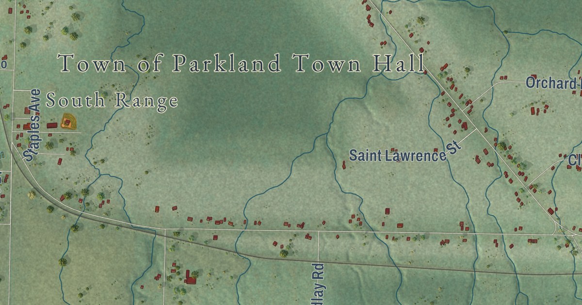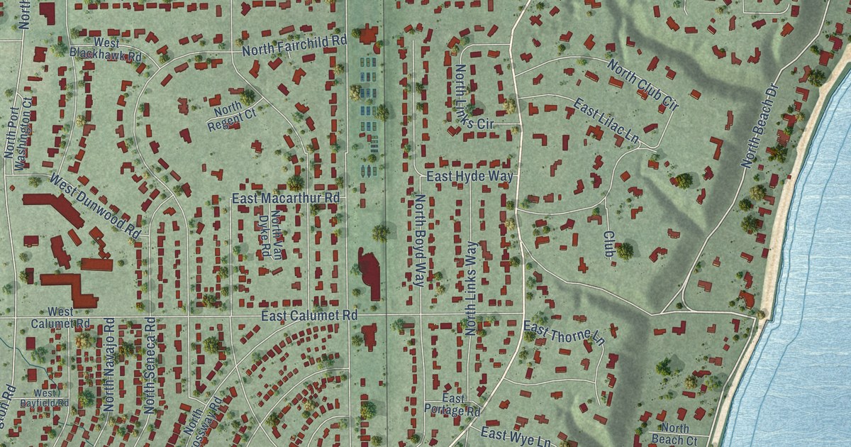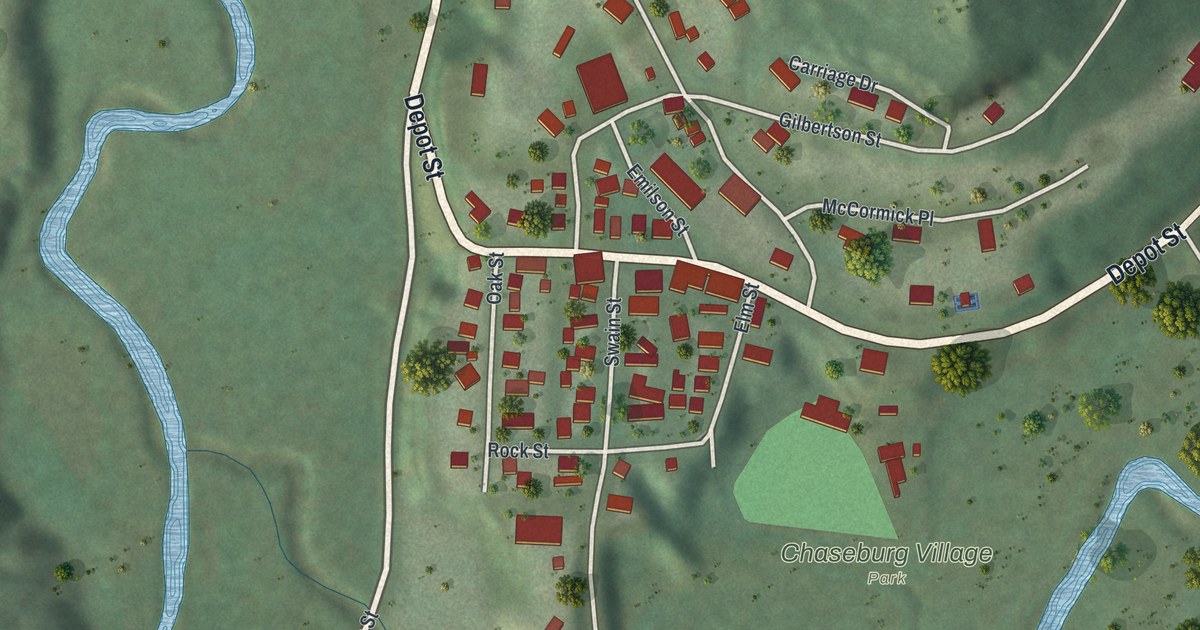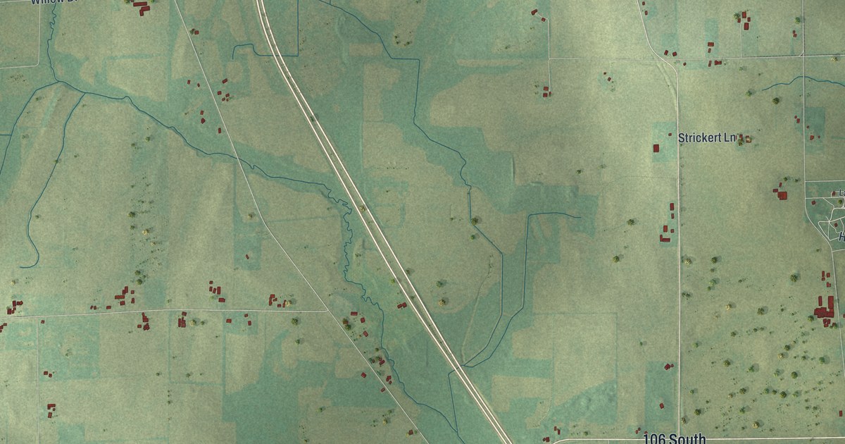
This beautifully detailed map of Albion, Wisconsin was created in 2026 using aerial imagery combined with modern topographical, census, street and landmark data. It’s a one-of-a-kind view of Albion that combines accurate data with a vintage aesthetic. The map shows every building in its true location, many of the roads carry their names, and the shaded topographic relief shows the shape of the land.
Explore an aerial view of Albion, Wisconsin
On the map you’ll find Indian Heights, Hillside, Highwood, Hickory Hills, Edgerton Beach Park, Eastman Hunting Club, Silverwood County Park, Coachmans Golf Resort, and 106 South, along with Highland Road, Lake Drive Road, Grandview Court, and more. If you look closely you can even find your house accurately drawn in its correct location. Zoom in on the preview to look for yours.
Did you know this piece of Albion, Wisconsin history?
From the 1874 A history of Madison, the capital of Wisconsin : "The town of Albion received its name at the suggestion of Isaac Brown, in honor of his former place of residence in Orleans county, New York."
Looking for a different Albion? Wisconsin also has Albion in Trempealeau County and Albion in Jackson County.
Take a closer look at the Albion map
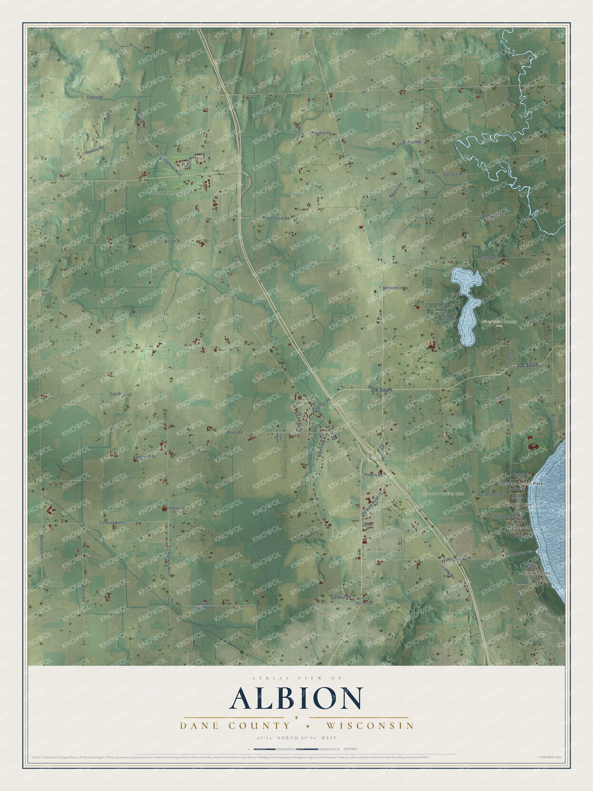
Street and place names on the Albion, Wisconsin map
These names are printed on the map of Albion, Wisconsin.
Places: Indian Heights, Hillside, Highwood, Hickory Hills, Edgerton Beach Park, Eastman Hunting Club, Silverwood County Park and Coachmans Golf Resort.
Streets and roads: 106 South, Highland Road, Lake Drive Road, Grandview Court, Craig Road, Albion Road, Ramsey Road, Edgerton Road, Hillside Road, Washington Road, County Highway North, Aarback Road.
More street names, A to Z
Academy Drive, Beach Avenue, Bingham Road, Bliven Road, Brekken Drive, Bublitz Road, Cherokee Drive, Chippewa Drive, County Highway West, County Road North, County Road West, Dallman Road, Eldon Way, Goede Road, Graf Road, Hammond Road, Haugen Road, Hickory Nut Lane, Highwood Drive, Indian Trail, Jacobus Road, Jana Drive, Kaare Road, Kaase Road, Kellogg Road, Koshkonong Drive, Lakewood Road, Lein Drive, Liguori Road, Maple Grove Road, Maple Street, Oak Drive, Old State Road 73, Palmer Drive, Pierce Road, Prestige Court, Rudisill Road, Silver Lane, Stolen Road, Strickert Lane, Thornson Drive, Thorsen Road, Thronson Road, Walnut Street, West County Road North, Willow Drive, Windwood Circle.
See the Albion, Wisconsin map on a wall
The Albion, Dane County map as an 18 x 24 inch print in a black frame.

This beautifully detailed map of Albion, Dane County makes an attractive addition to your office, library, or den, and it can even be used to teach children the geography and history of the area. It also makes a great gift for someone who left Albion and still calls it home. When you’re done exploring, click here to get your copy of the Albion, Dane County map.