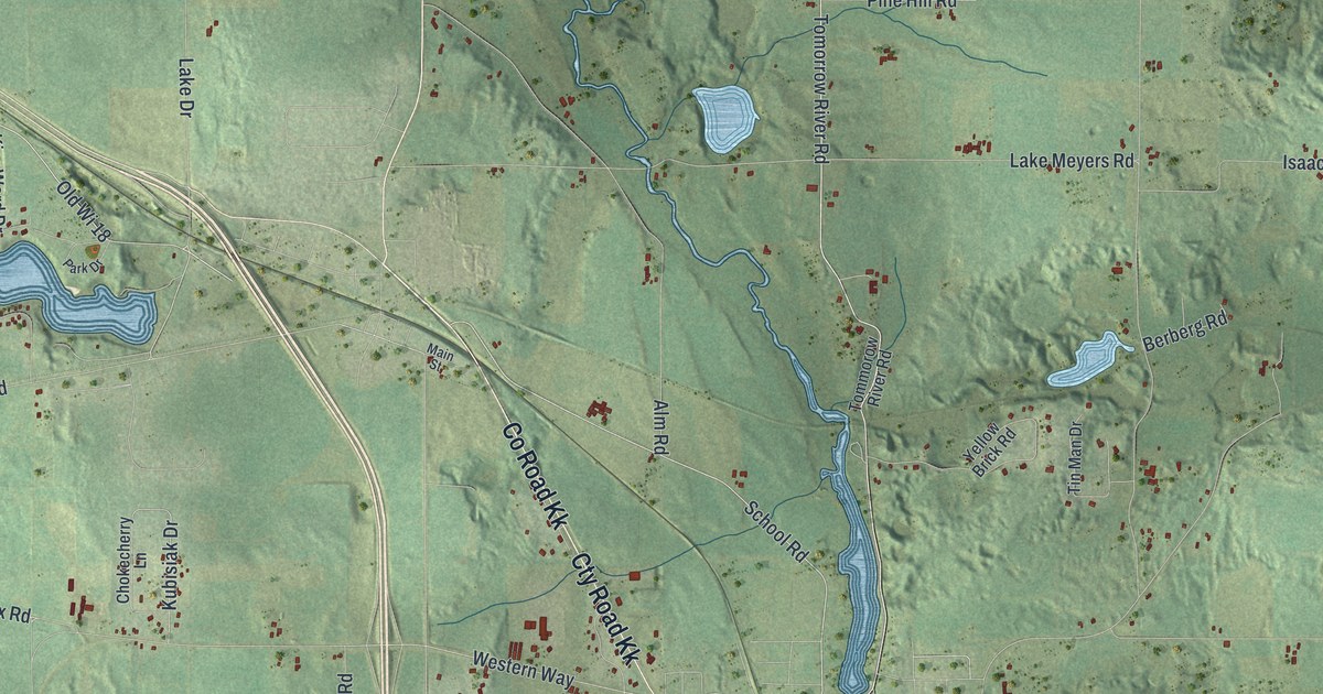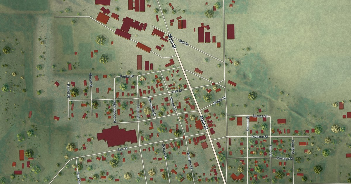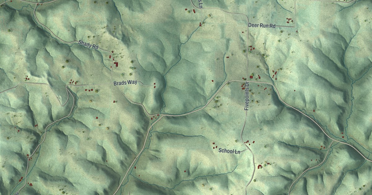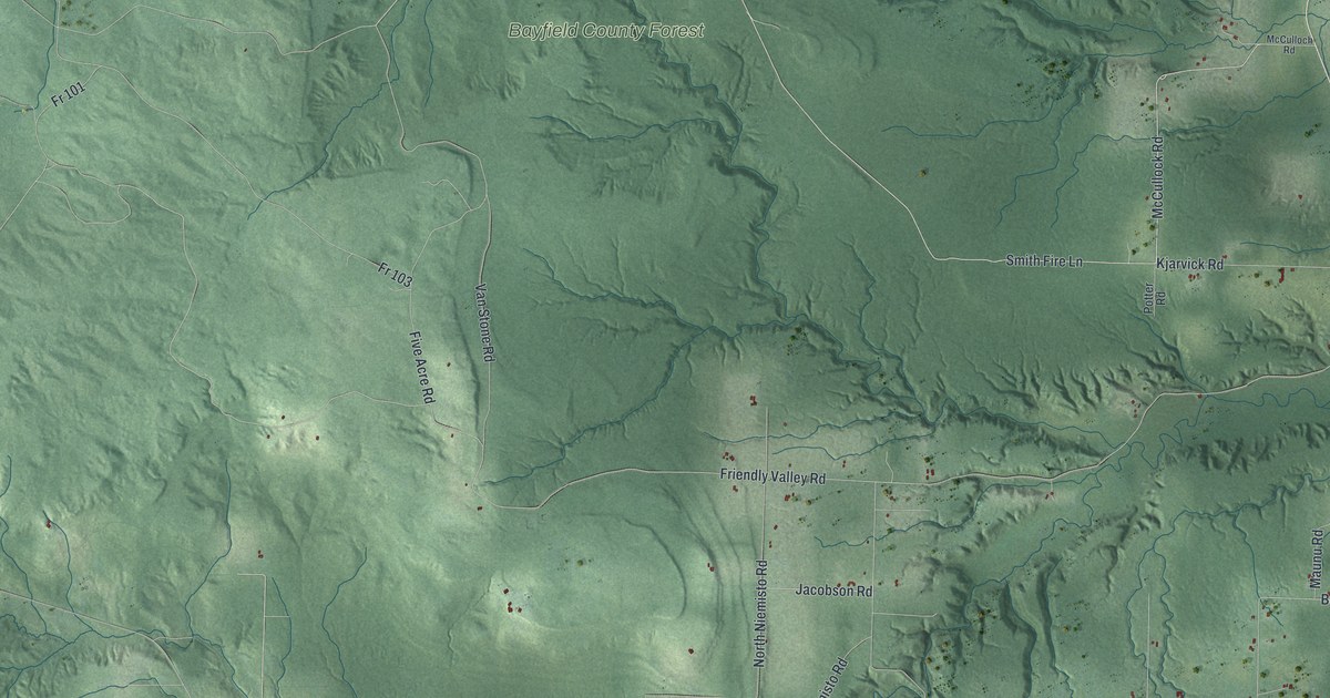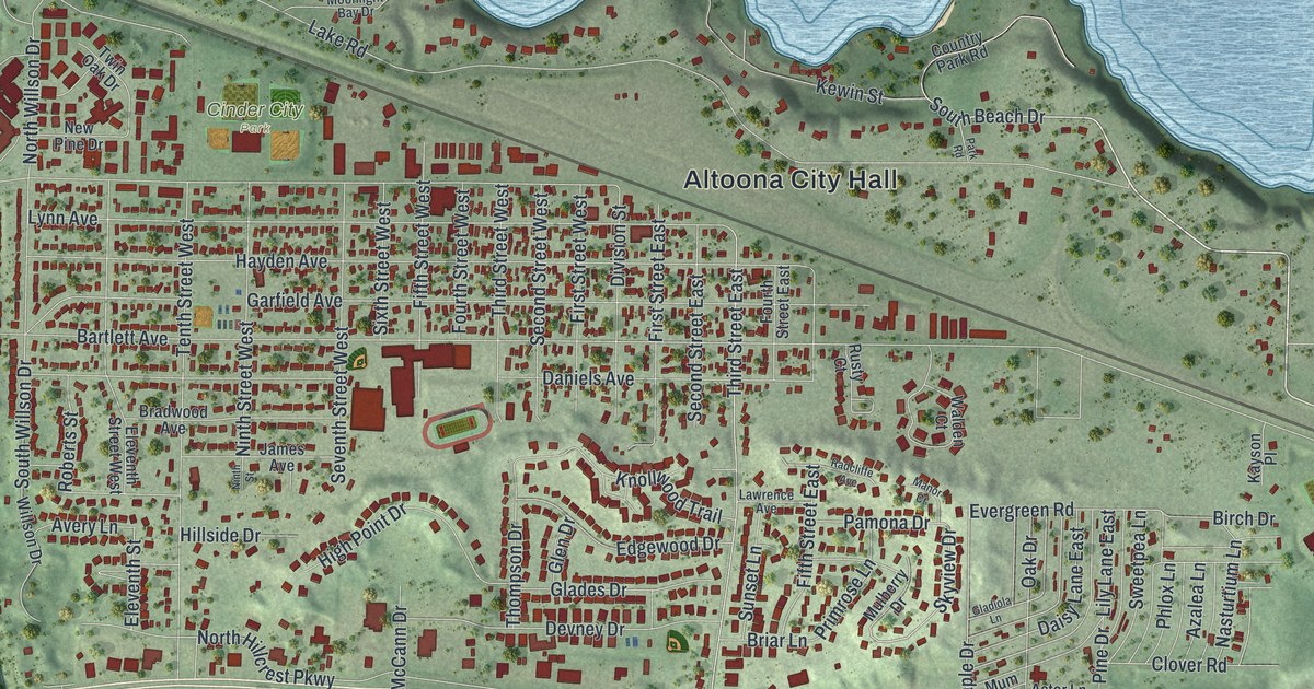
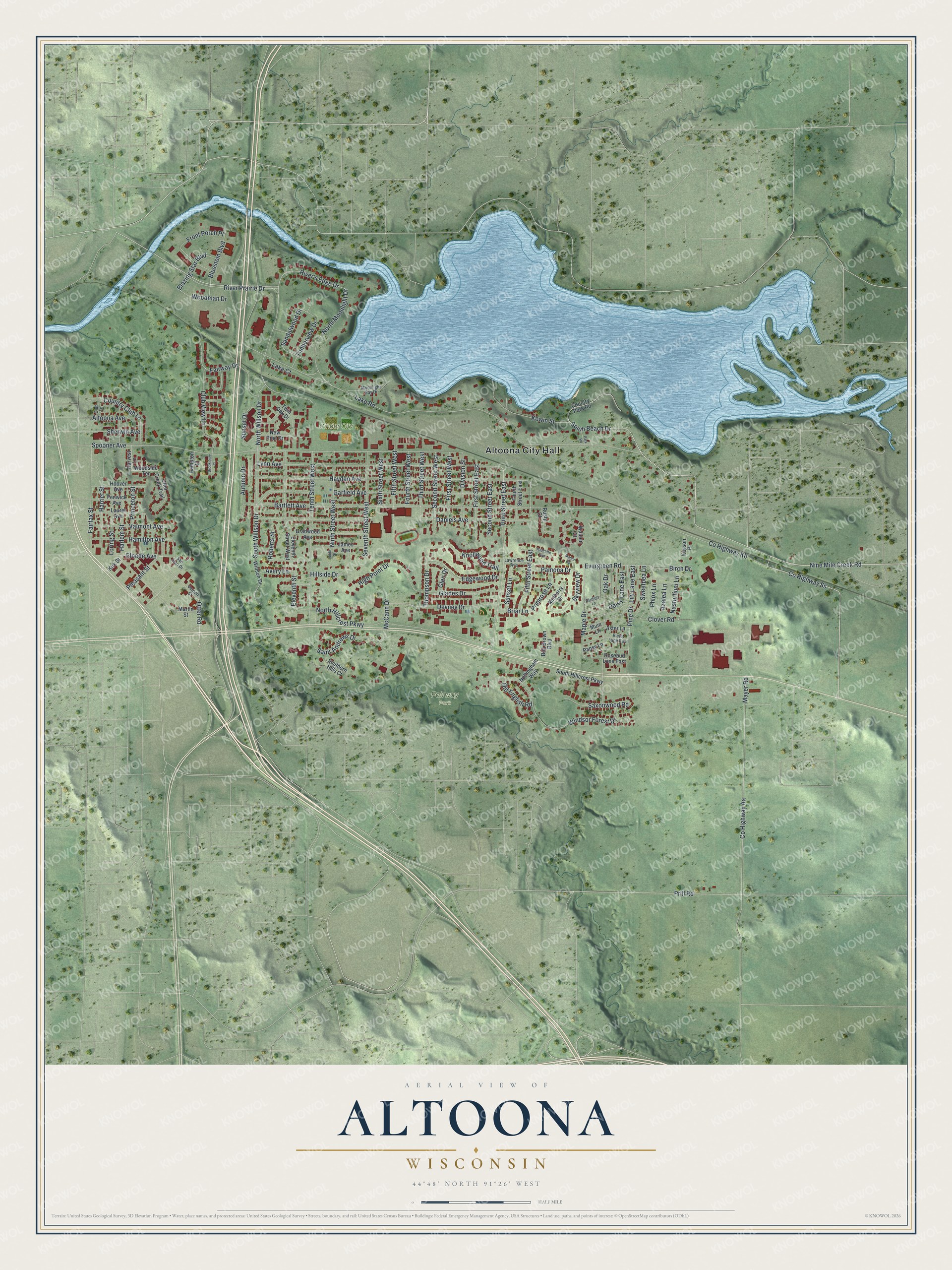
This beautifully detailed map of Altoona, Wisconsin was created in 2026 using aerial imagery combined with modern topographical, census, street and landmark data. It's a modern aerial view of Altoona in Eau Claire County, Wisconsin, that combines modern data with a vintage aesthetic. The roads feature printed names, and if you look closely you can find your exact house accurately shown in its correct location.
Explore an aerial view of Altoona, Wisconsin
On this map you'll find Altoona City Hall, Cinder City Park, Fairway Park, Nine Mile Creek Road, Co Highway Ss, Co Highway Kb, River Prairie Drive, South Beach Drive, Otter Road, North Hillcrest Parkway, River's Edge Drive, Sandalwood Drive, and more. Each red shape is a building, so zoom in on the preview and look for yours.
Altoona is a city in Eau Claire County. The Census Bureau counted 8,293 people here in 2020. The map prints the town name in its title panel, with the coordinates below it.
Take a closer look at the Altoona map
Names on this map
These names are printed on this map.
Places: Altoona City Hall, Cinder City Park and Fairway Park.
Streets and roads: Nine Mile Creek Road, County Highway Ss, County Highway Kb, River Prairie Drive, South Beach Drive, Otter Road, North Hillcrest Parkway, River's Edge Drive, Sandalwood Drive, Skyview Drive, Sunset Drive, Lake Road.
More street names, A to Z
Altoona Avenue, Aster Lane, Autumn Drive, Avery Lane, Azalea Lane, Bartlett Avenue, Birch Drive, Blazing Star Boulevard, Bluestem Boulevard, Bob Brown Boulevard, Bradwood Avenue, Briar Lane, Brookshire Court, Clover Road, Club Lane, Club View Lane, Country Club Lane, Country Park Road, County Highway Aa, Daisy Lane East, Daniels Avenue, Devney Drive, Division Street, Edgewood Drive, Eleventh Street, Eleventh Street West, Evergreen Road, Fairfax Street, Fairway Drive, Fenwick Avenue, Fifth Street East, Fifth Street West, First Street East, First Street West, Fourth Street East, Fourth Street West, Front Porch Place, Garfield Avenue, Glades Drive, Gladiola Lane, Glen Drive, Gloede Avenue, Hamilton Avenue, Hampton Court, Harlem Street, Harriet Street, Harvest Lane, Hayden Avenue, High Point Drive, Hillside Drive, Hoover Avenue, James Avenue, Kayson Place, Kewin Street, Kirk Street, Knollwood Trail, Lake Court, Laurel Avenue, Lawrence Avenue, Lily Lane East, Loring Street, Lynn Avenue, Manor Court, Maple Drive, Martin Street, Mayer Road, McCann Drive, Moonlight Bay Drive, Mulberry Drive, Mum Lane, Nasturtium Lane, New Pine Drive, Ninth Street, Ninth Street West, North Moonlight Drive, North Willson Drive, Nottingham Way, Oak Drive, Old English Road, Otter Creek Trail, Pamona Drive, Pansy Lane, Park Road, Phlox Lane, Pine Drive, Pleasant Street, Prill Road, Primrose Lane, Princeton Street, Radcliffe Avenue, Roberts Street, Rosebud Lane East, Rusty Court, Saint Andrews Drive, San Juan Drive, Saxonwood Road, Second Street East, Second Street West, Seventh Street West, Sherwin Avenue, Sixth Street West, Southern Hills Court, South Hillcrest Parkway, South Willson Drive, Spooner Avenue, Sunset Lane, Sweetpea Lane, Tenth Street West, Third Street East, Third Street West, Thompson Drive, Timberview Drive, Twin Oak Drive, Valmont Avenue, Vernon Street, Violet Lane East, Walden Court, Willson Drive, Windsor Forest Drive, Woodman Drive, Woodside Terrace.
Created by KNOWOL in 2026. The buildings are small red shapes, the roads carry their printed names, and shaded relief shows the shape of the land. The title panel reads "AERIAL VIEW OF ALTOONA WISCONSIN" with 44°48' NORTH 91°26' WEST.
It suits a den, a classroom or a front hall, and it makes a gift for anyone with Altoona roots. Open the preview and find the block you know. See sizes and frames for the Altoona map.