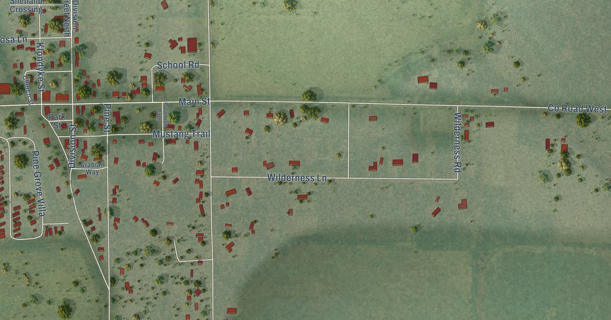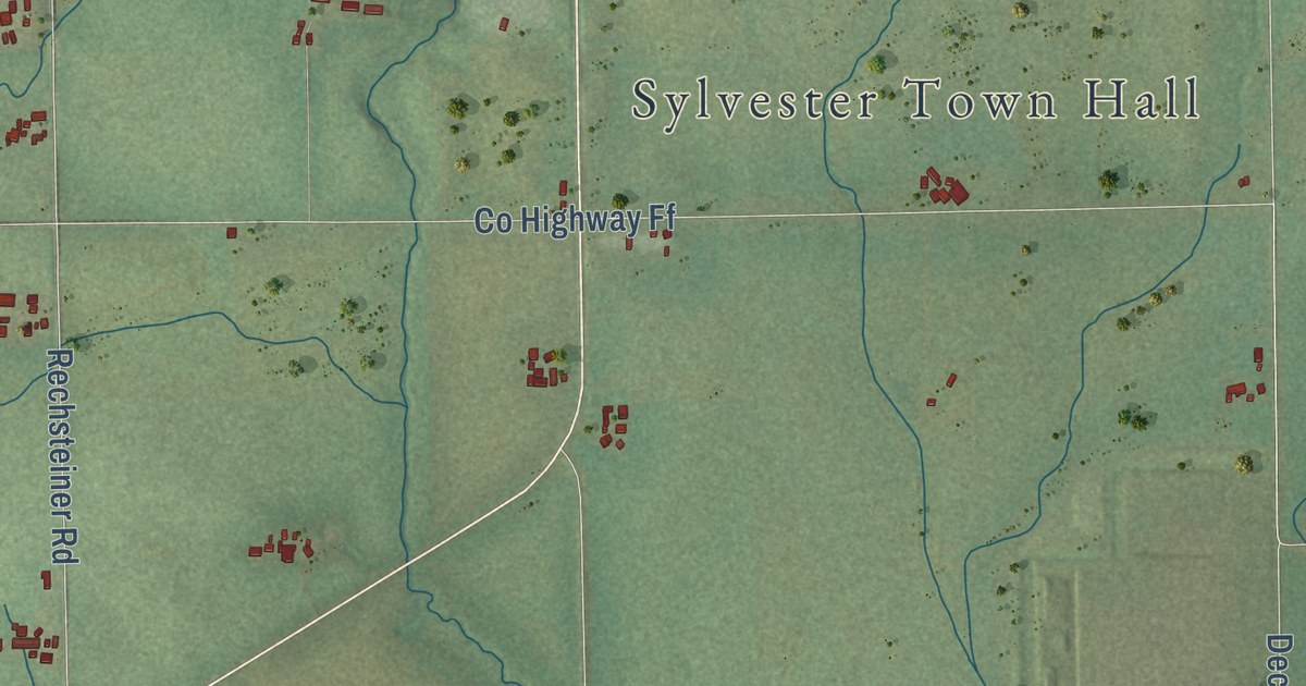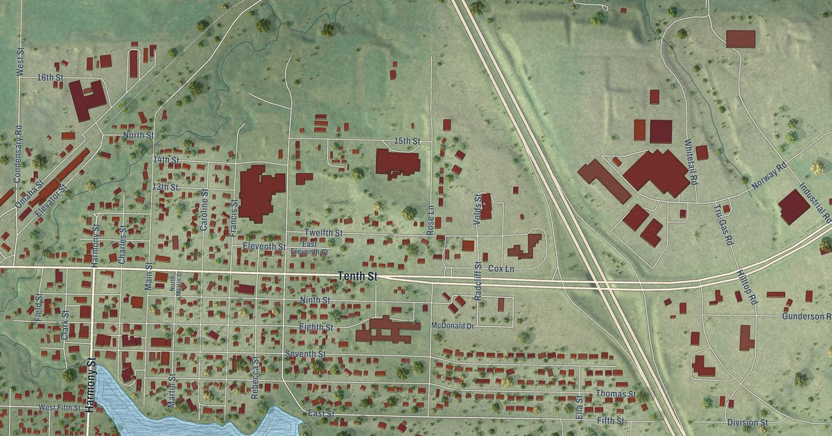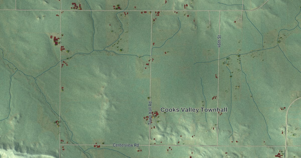
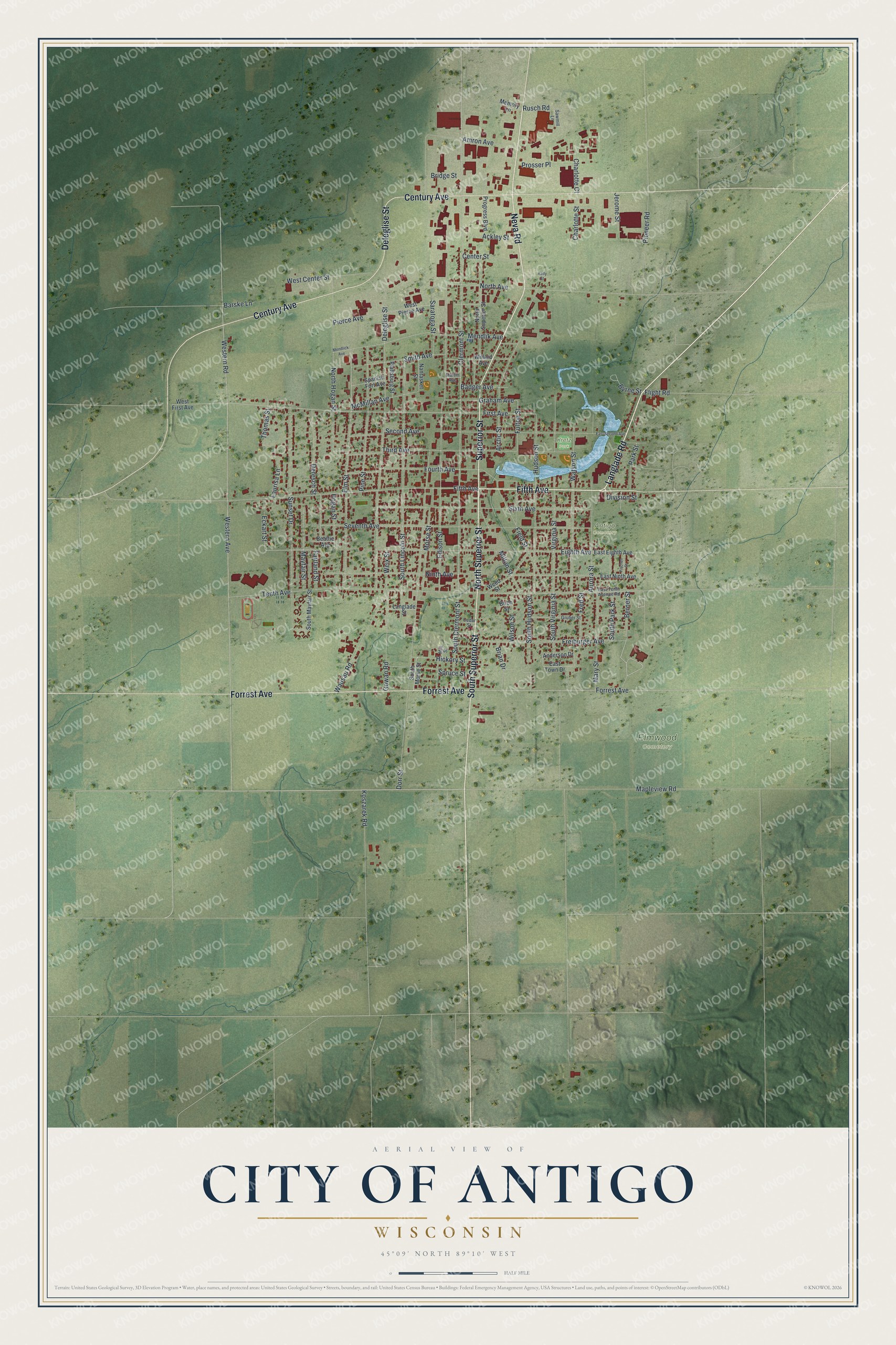
This beautifully detailed map of Antigo, Wisconsin was created in 2026 using aerial imagery combined with modern topographical, census, street and landmark data. It’s a one-of-a-kind view of Antigo that combines accurate data with a vintage aesthetic. The map shows every building in its true location, many of the roads carry their names, and the shaded topographic relief shows the shape of the land.
Explore an aerial view of Antigo, Wisconsin
On the map you’ll find Elmwood Cemetery, Antigo Cemetery, and Kretz Park, along with Fifth Avenue, Langlade Road, Neva Road, Superior Street, Century Avenue, Forrest Avenue, South Superior Street, North Superior Street, Deleglise Street, and more. If you look closely you can even find your house accurately drawn in its correct location. Zoom in on the preview to look for yours.
Did you know this piece of Antigo, Wisconsin history?
From the Langlade County History: "The first school in Antigo was constructed of logs by a young man named Joseph Krause."
Take a closer look at the Antigo map
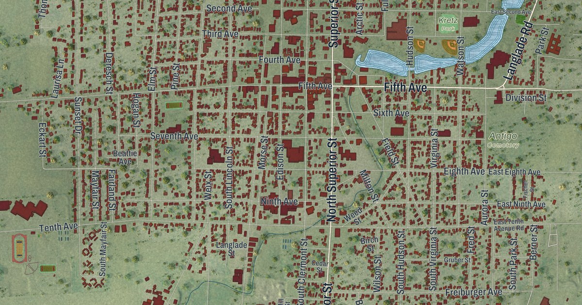
Street and place names on the Antigo, Wisconsin map
These names are printed on the map of Antigo, Wisconsin.
Places: Elmwood Cemetery, Antigo Cemetery and Kretz Park.
Streets and roads: Fifth Avenue, Langlade Road, Neva Road, Superior Street, Century Avenue, Forrest Avenue, South Superior Street, North Superior Street, Deleglise Street, Hickory Street, Elm Street, North Hogan Street.
More street names, A to Z
Ackley Street, Amron Avenue, Anderson Drive, Arctic Street, Aurora Street, Badger Avenue, Barske Lane, Beattie Avenue, Berner Street, Birch Street, Brian Drive, Bridge Street, Byrne Street, Cedar Street, Center Street, Charlotte Court, Charlotte Street, Clermont Street, Deresch Street, Division Street, Dorr Street, East Eighth Avenue, East Ninth Avenue, East Second Avenue, East Tenth Avenue Road, East Town Drive, Eckart Street, Edison Street, Eighth Avenue, Fairland Street, Field Street, First Avenue, Fischer Street, Flight Road, Fourth Avenue, Fred Street, Freiburger Avenue, Fulton Street, Gowan Road, Graham Avenue, Gruber Street, Hogan Street, Hudson Street, Jerome Street, Kelly Street, Koszarek Road, Langlade Street, Laurisa Lane, Mapleview Road, Martin Avenue, Mary Street, Mayfair Street, McMillan Avenue, Memory Lane, Mendlick Avenue, Mendlik Avenue, Mill Street, Milton Street, Morse Street, Nantasket Street, Ninth Avenue, North Avenue, Park Street, Pierce Avenue, Pine Street, Pioneer Road, Plattsburg Street, Progress Boulevard, Prosser Place, Rusch Road, Saratoga Street, Sawmill Lane, Second Avenue, Seventh Avenue, Sixth Avenue, Smith Avenue, South Clermont Street, South Hudson Street, South Lincoln Street, South Mayfair Street, South Morse Street, South Park Street, South Virginia Street, Spanish Fort Avenue, Spruce Street, Sunset Drive, Tenth Avenue, Third Avenue, Thomas Street, Virginia Street, Watson Street, Wausau Road, Weed Street, Weix Street, West Center Street, Western Avenue, Western Road, West First Avenue, West Pierce Avenue, Willard Avenue, Wilson Street.
See the Antigo, Wisconsin map on a wall
The Antigo map as an 18 x 24 inch print in a black frame.

This beautifully detailed map of Antigo makes an attractive addition to your office, library, or den, and it can even be used to teach children the geography and history of the area. It also makes a great gift for anyone with Antigo roots. When you’re done exploring, click here to get your copy of the Antigo map.