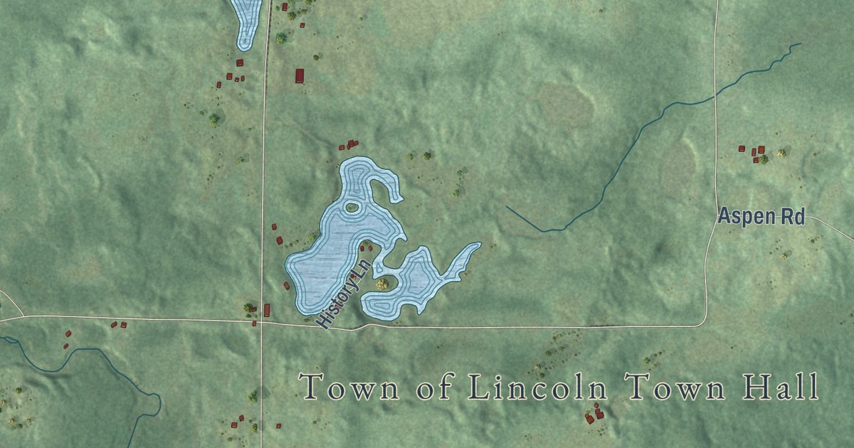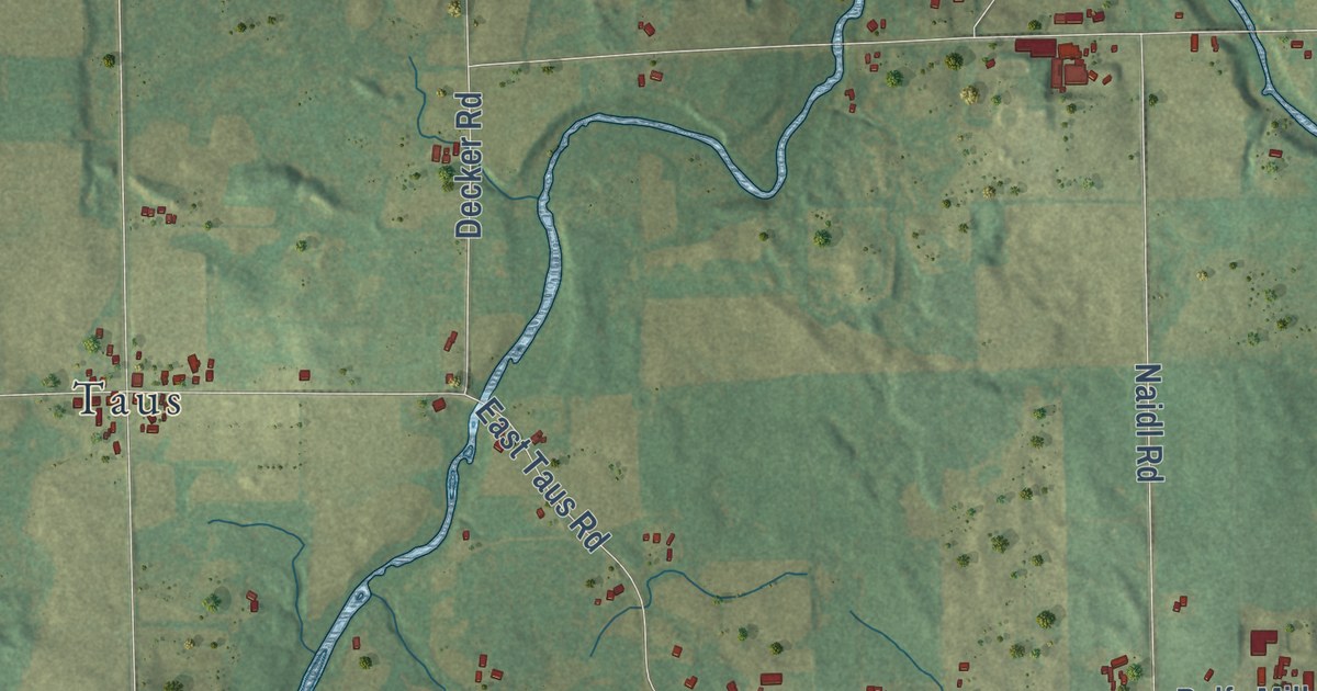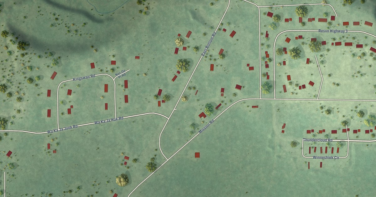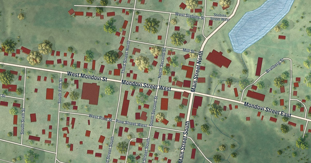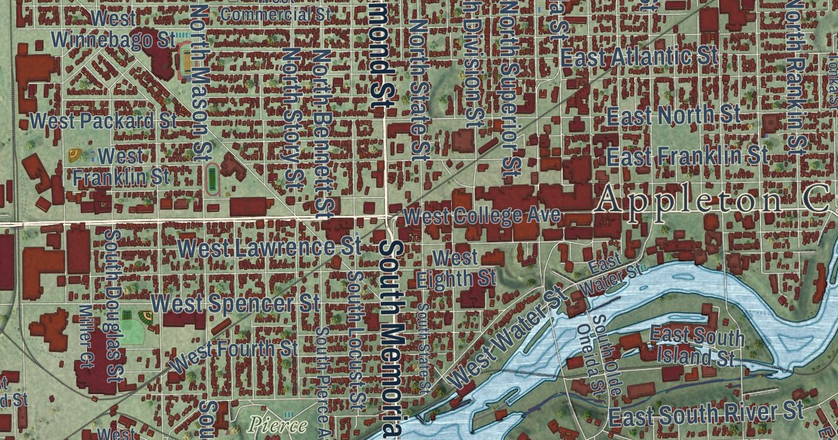
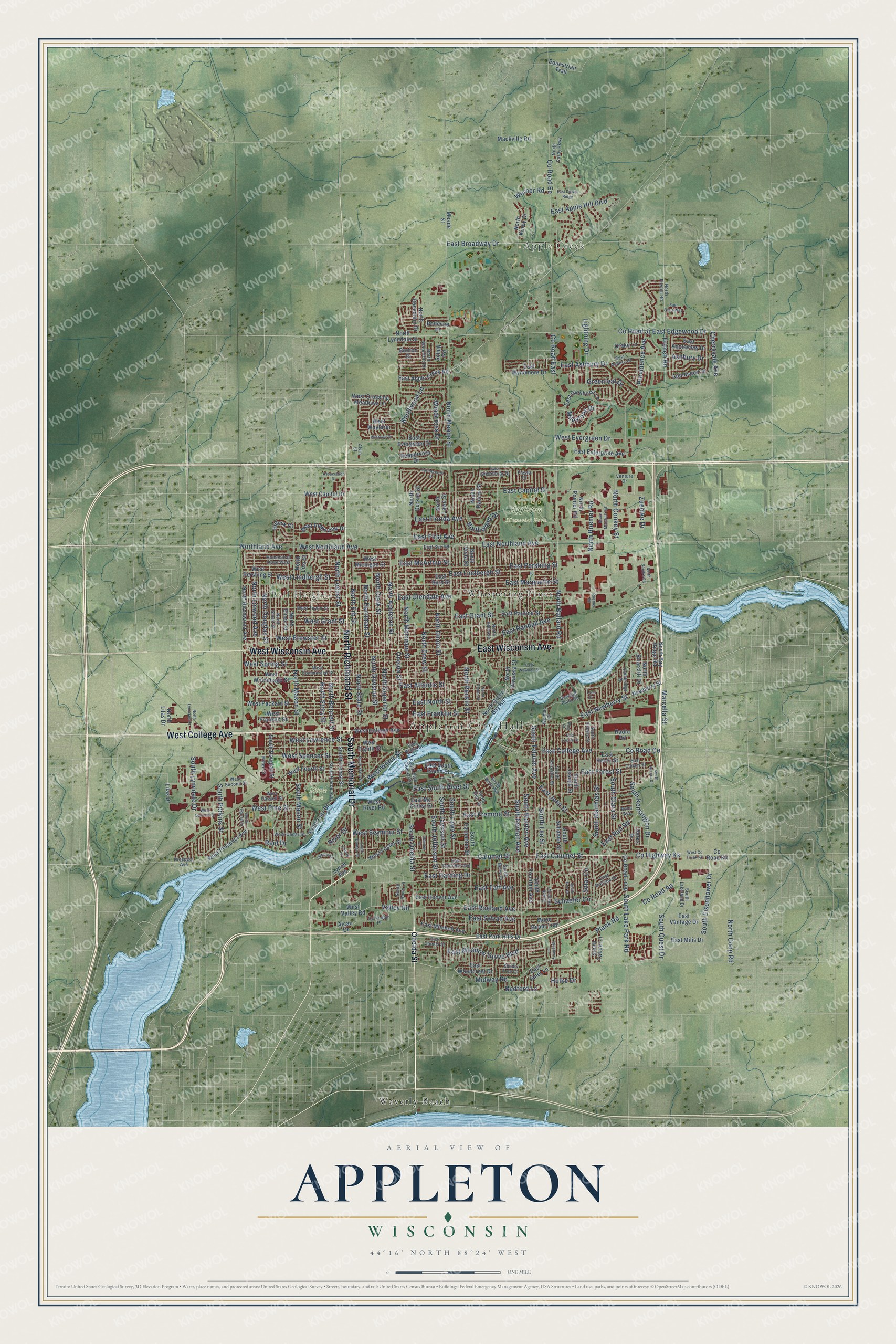
This beautifully detailed map of Appleton, Wisconsin was created in 2026 using aerial imagery combined with modern topographical, census, street and landmark data. It’s a one-of-a-kind view of Appleton that combines accurate data with a vintage aesthetic. The map shows every building in its true location, many of the roads carry their names, and the shaded topographic relief shows the shape of the land.
Explore an aerial view of Appleton, Wisconsin
On the map you’ll find Appleton City Hall, Apple Creek, Bell Heights, Appleton Memorial Park, Pierce Park, Telulah Park, Waverly Beach, and Whispering Pines, along with North Richmond Street, South Memorial Drive, West College Avenue, East Wisconsin Avenue, and more. If you look closely you can even find your house accurately drawn in its correct location. Zoom in on the preview to look for yours.
Did you know this piece of Appleton, Wisconsin history?
From the Outagamie County History: "Appleton was in 1846 known as Tecos point, where Crafts had a box on a post, which was the first postoffice of Appleton."
Take a closer look at the Appleton map
Street and place names on the Appleton, Wisconsin map
These names are printed on the map of Appleton, Wisconsin.
Places: Appleton City Hall, Apple Creek, Bell Heights, Appleton Memorial Park, Pierce Park, Waverly Beach and Whispering Pines.
Streets and roads: North Richmond Street, South Memorial Drive, West College Avenue, East Wisconsin Avenue, West Wisconsin Avenue, Calumet Street, South Oneida Street, County Highway Kk, North Ballard Road, East College Avenue, County Road Ce, East John Street.
More street names, A to Z
Alcan Drive, Alvin Street, Appleseed Drive, Ashbury Drive, Association Drive, Bedford Lane, Bellevue Place, Benton Drive, Blueberry Lane, Bona Avenue, Cambridge Drive, Cherry Court, Cherryvale Avenue, County Road Ap, County Road East, County Road Ee, County Road Jj, County Road Kk, County Road Loop, Derks Drive, Drake Lane, East Apple Creek Road, East Apple Hill Boulevard, East Appleview Drive, East Asbury Drive, East Ashbury Drive, East Atlantic Street, East Broadway Drive, East Byrd Street, East Calumet Street, East Canary Street, East Capitol Drive, East Coolidge Avenue, East Dietzen Drive, East Downs Ridge, East Edgewood Drive, East Enterprise Avenue, East Evergreen Drive, East First Avenue, East Florida Avenue, East Forest Street, East Franklin Street, East Fremont Street, East Glendale Avenue, East Glenhurst Lane, East Grant Street, East Greenbriar Drive, East Harding Drive, East Henry Street, East Hoover Avenue, East James Street, East Janet Lane, East Lindbergh Street, East Lucille Street, East Marquette Street, East McArthur Street, East Mc Kinley Street, East Meadow Grove Boulevard, East Milis Drive, East Mitchell Avenue, East Nawada Street, East Newberry Street, East Northland Avenue, East North Street, East Paris Way, East Park Hills Drive, East Pauline Street, East Pershing Street, East Rail Road, East Randall Avenue, East Roeland Avenue, East South Island Street, East South River Street, East Svc Road, East Sylvan Avenue, East Taft Avenue, East Vantage Drive, East Water Street, East Woodcrest Drive, East Wyndmere Drive, Equestrian Trail, Fiesta Court, French Road, Garden Court, Greenleaf Drive, Hillock Court, Homestead Drive West, Hulke Drive, King Court, Knollwood Lane, Lightning Drive, Lilas Drive, Lynch Avenue, Lynn Drive, Mackville Road, Marcella Street, Meade Street, Midway Road, Milestone Drive, Miller Court, Moon Beam Trail, Newberry Street, North Appleton Street, North Bay Ridge Road, North Bennett Street, North Birchwood Avenue, Northbreeze Drive, North Briarcliff Drive, North Clark Street, North Conkey Street, North Coop Road, North Division Street, North Douglas Street, North Drew Street, North Durkee Street, North Elinor Street, North Erb Street, North French Road, North Gillett Street, North Green Bay Road, North Hall Avenue, North Harriman Street, North Kurey Drive, Northland Avenue, North Lawe Street, North Lilas Drive, North Linwood Avenue, North Lisa Street, North Locust Street, North Lynndale Drive, North Lynndale Street, North Marshall Road, North Mason Street, North Meade Street, North Morrison Street, North Owaissa Street, North Pointer Road, North Purdy Parkway, North Racine Street, North Rankin Street, North Roemer Road, North Rosemary Drive, North Sandra Street, North State Street, North Story Street, North Superior Street, North Tonka Street, North Union Street, North Viola Street, North Waterford Drive, Northwood Drive, Oneida Street, Peppercorn Drive, Plank Road, Prospect Avenue, Providence Avenue, Radio Road, Ramlen Court, Reid Drive, River Drive, Roemer Road, Schaefer Circle, Schindler Place, Schuh Road, Sewage Plant Road, Shade Tree Lane, Solar Circle, South Arlington Street, South Aurora Drive, South Bartell Drive, South Berry Drive, South Bouten Street, South Carpenter Street, South Clara Street, South Douglas Street, South East Street, South Eisenhower Drive, South Eric Drive, South Fidelis Street, South Fountain Avenue, South Jackson Street, South Jason Drive, South Jefferson Street, South Joseph Street, South Kensington Drive, South Kernan Avenue, South Kerry Lane, South Lakeland Drive, South Lake Park Road, South Lawe Street, South Lee Street, South Locust Street, South Lutz Drive, South Lynndale Drive, South Mason Street, South Matthias Street, South Olde Oneida Street, South Perkins Street, South Pierce Avenue, South Quest Drive, South Schaefer Street, South State Street, South Tahoe Lane, South Telulah Avenue, South Walden Avenue, South West Avenue, Valley Road, Venture Drive, Weimar Court, Werner Road, West Brewster Street, West Capitol Drive, West Cedar Street, West Commercial Street, West Co Trunk Kk, West Crossing Meadows Lane, West Eighth Street, West Evergreen Drive, West Foster Street, West Fourth Street, West Franklin Street, West Grant Street, West Haskell Street, West Lawrence Street, West Leonard Street, West Lindbergh Street, West Michigan Street, West Northland Avenue, West Packard Street, West Pershing Street, West Pine Street, West Prospect Avenue, West Ridgeview Drive, West River Road, West Second Street, West Seymour Street, West Spencer Street, West Spring Street, West Taylor Street, West Valley Road, West Water Street, West Wayfarer, West Winnebago Street, Windcross Drive, Winrowe Drive, Zuehlke Drive.
See the Appleton, Wisconsin map on a wall
The Appleton map as an 18 x 24 inch print in a black frame.

This beautifully detailed map of Appleton makes an attractive addition to your office, library, or den, and it can even be used to teach children the geography and history of the area. It also makes a great gift for someone who left Appleton and still calls it home. When you’re done exploring, click here to get your copy of the Appleton map.