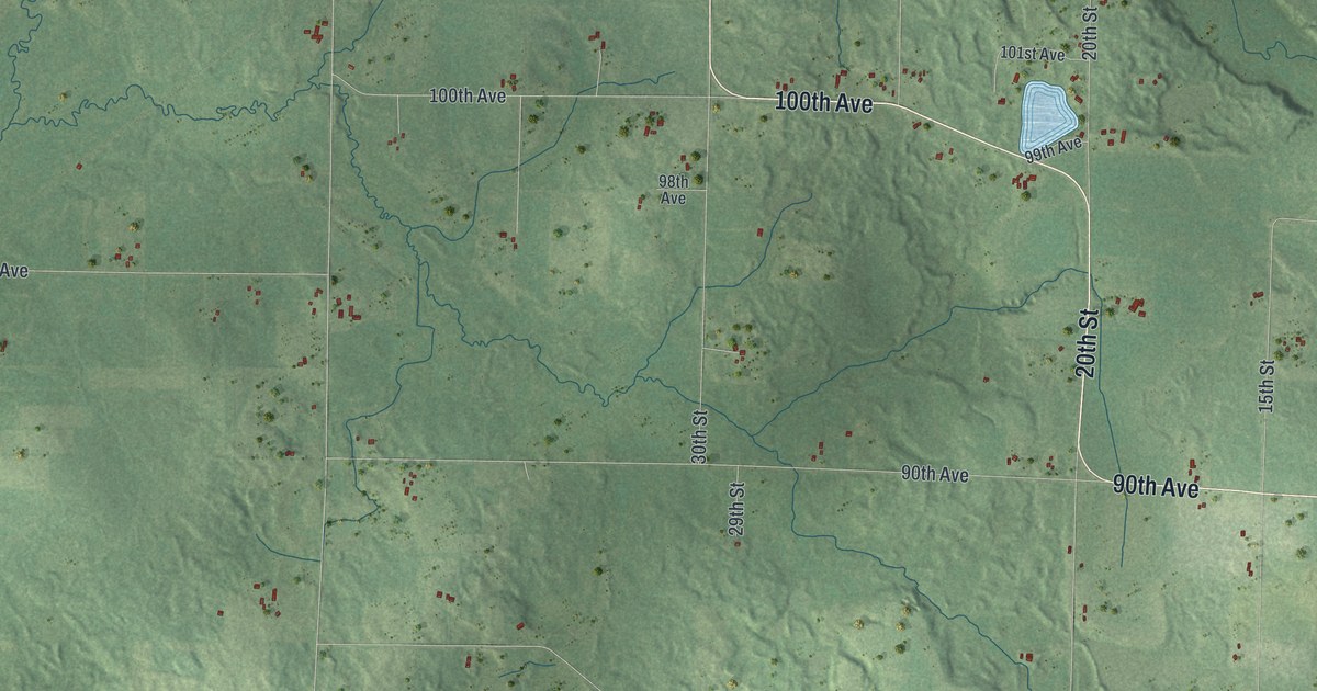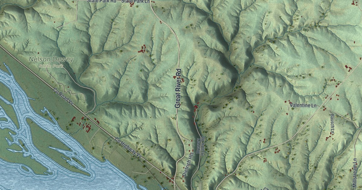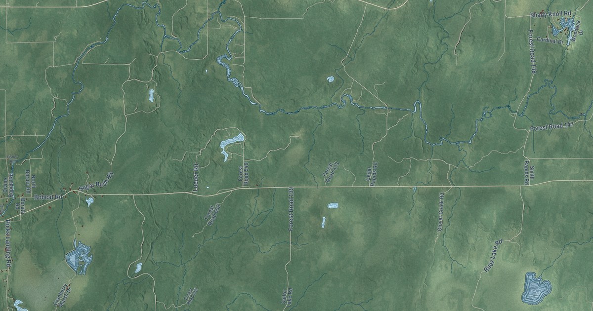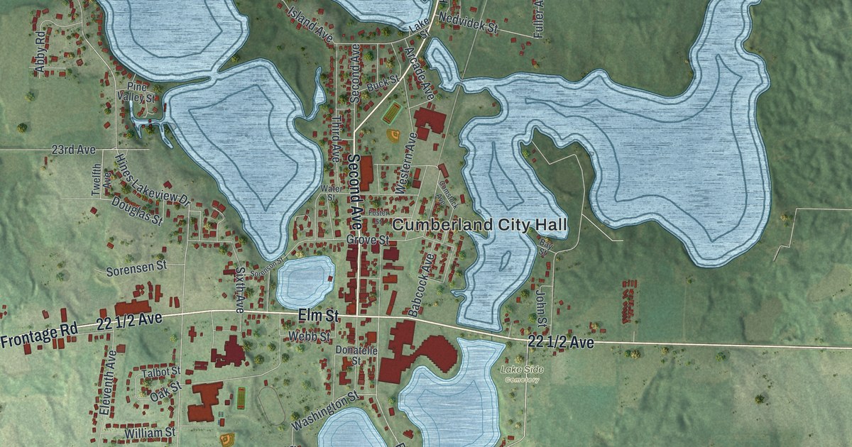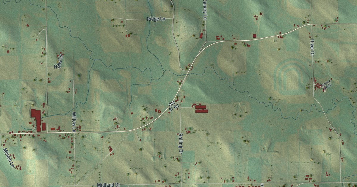
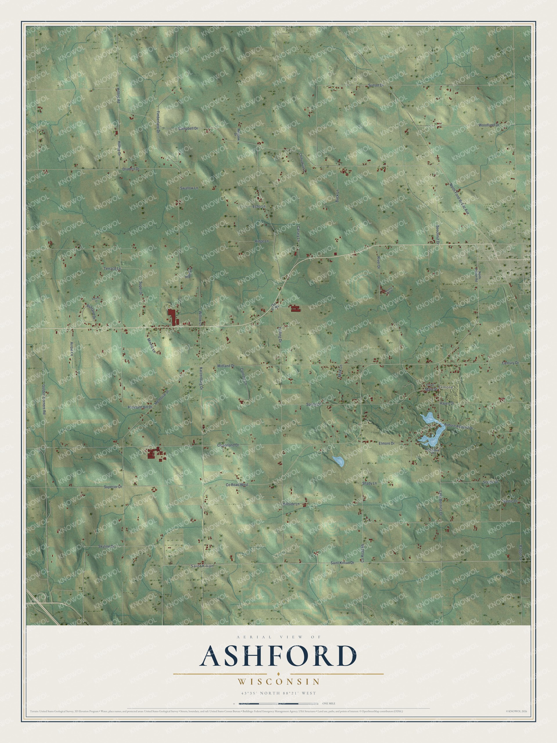
This beautifully detailed map of Ashford, Wisconsin was created in 2026 using aerial imagery combined with modern topographical, census, street and landmark data. It's a modern aerial view of Ashford in Fond du Lac County, Wisconsin, that combines modern data with a vintage aesthetic. The roads feature printed names, and if you look closely you can find your exact house accurately shown in its correct location.
Explore an aerial view of Ashford, Wisconsin
On this map you'll find Elmore, Saint Kilian, North Fond du Lac Avenue, Campbell Drive, Golden Corners Road, Co Road Bb, Saint Killian Drive, Skyline Drive, Terrace Lane, Co Road West, Rolling Drive, Drumlin Drive, and more. Each red shape is a building, so zoom in on the preview and look for yours.
Here is a piece of Ashford history, in the words of the record. The Internet Archive puts it this way: "On the 14th of February, 1874, the Ashford Fire Insurance Company was organized with
thirty-two members."
Ashford is a town in Fond du Lac County. The Census Bureau counted 1,722 people here in 2020.
Take a closer look at the Ashford map
Names on this map
These names are printed on this map.
Places: Elmore and Saint Kilian.
Streets and roads: North Fond du Lac Avenue, Campbell Drive, Golden Corners Road, County Road Bb, Saint Killian Drive, Skyline Drive, Terrace Lane, County Road West, Rolling Drive, Drumlin Drive, Memorial Drive, Sunset Drive.
More street names, A to Z
Arrow Lane, Ashland Drive, Auburn Ashford Drive, Badger Drive, Beechnut Drive, Buck Lane, Canary Lane, Century Drive, Chihuahua Lane, Cloverland Drive, Contour Lane, Country Aire Drive, Echo Lane, Elmore Drive, First Street, Halls Lane, Haven Drive, Hillside Lane, Hilltop Drive, Hilltop Road, Katzenburg Drive, Lake Bernice Drive, Main Street, Meadow Drive, Midland Drive, Mink Lane, Minnie Lane, North Barton Road, Old 67 Road, Pleasant Hill Drive, Ridge Lane, River Drive, Rustic Drive, Scenic Drive, Shady Lane, Spring Drive, Sterling Court, Super Drive, Superior Drive, Swallow Lane, Thornapple Lane, Timberlane Drive, Willow Lane, Woodland Drive.
Created by KNOWOL in 2026. The buildings are small red shapes, the roads carry their printed names, and shaded relief shows the shape of the land. The title panel reads "AERIAL VIEW OF ASHFORD WISCONSIN" with 43°35' NORTH 88°21' WEST.
It suits a den, a classroom or a front hall, and it makes a gift for anyone with Ashford roots. Open the preview and find the block you know. See sizes and frames for the Ashford map.