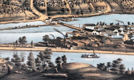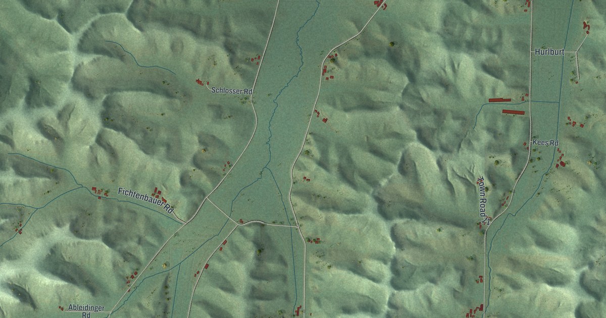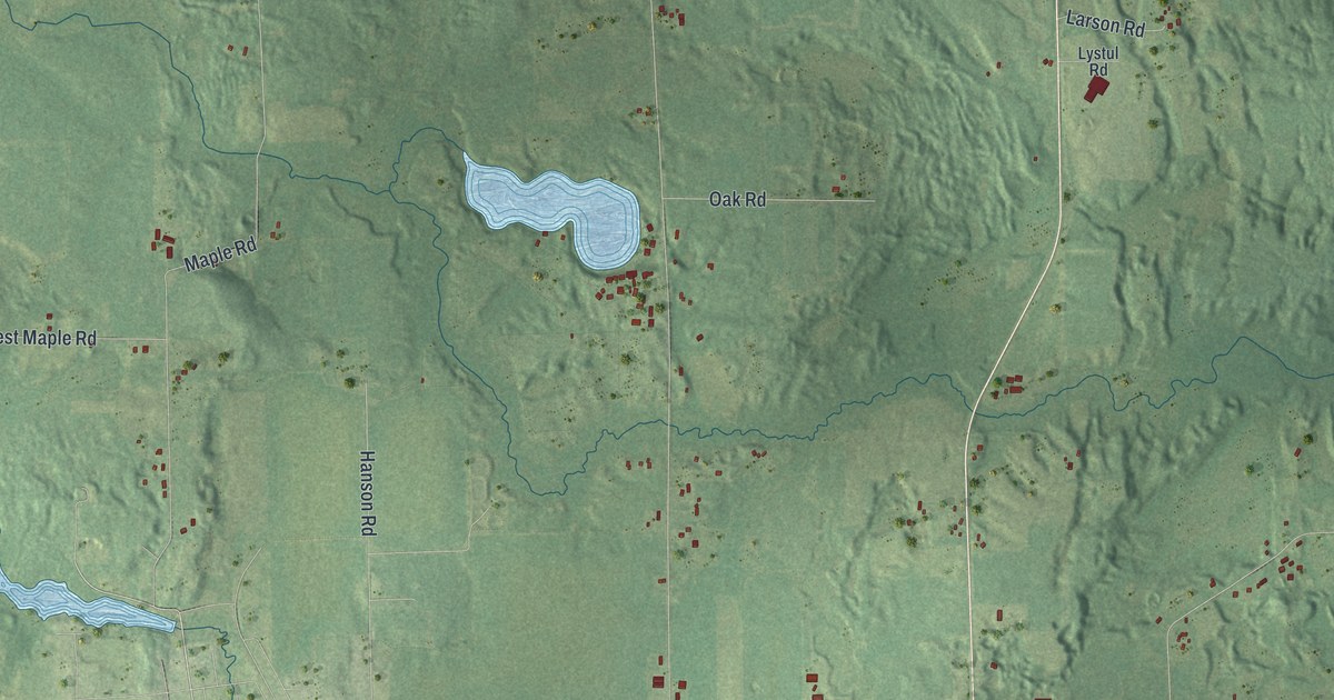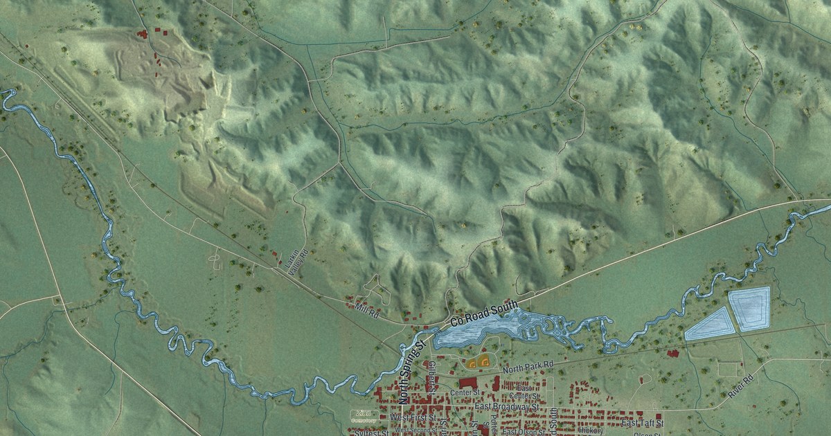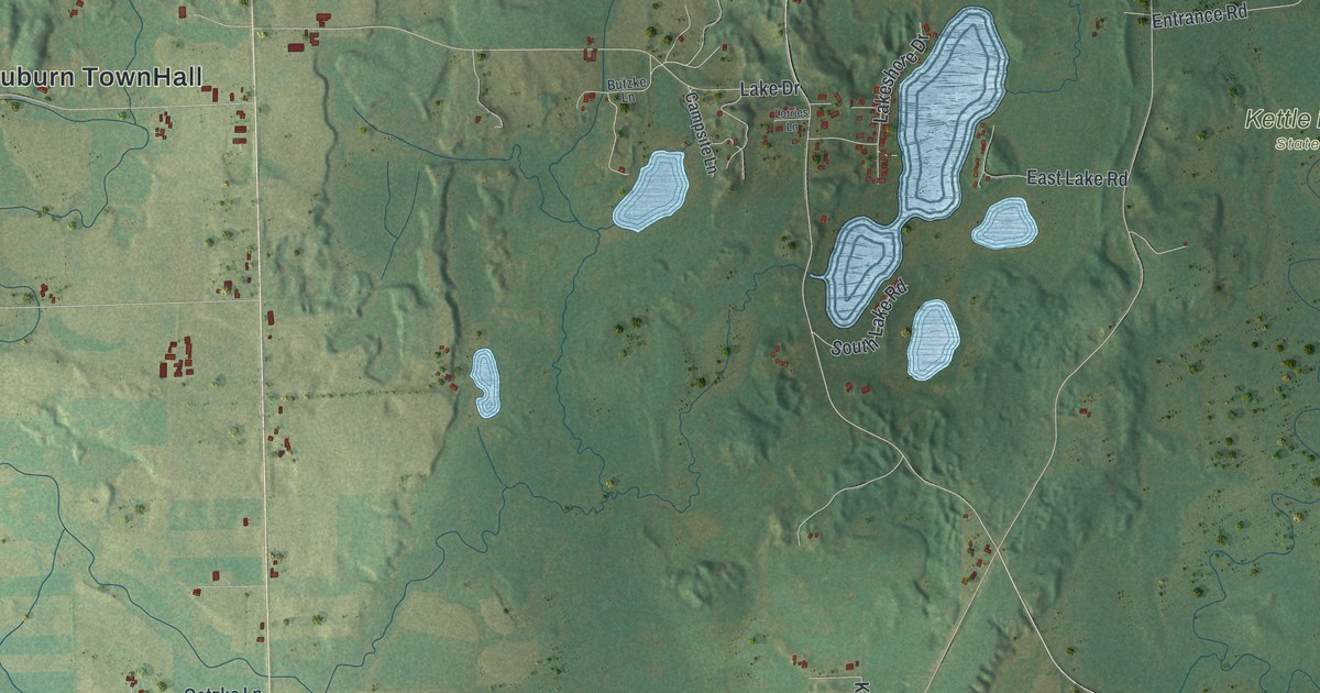
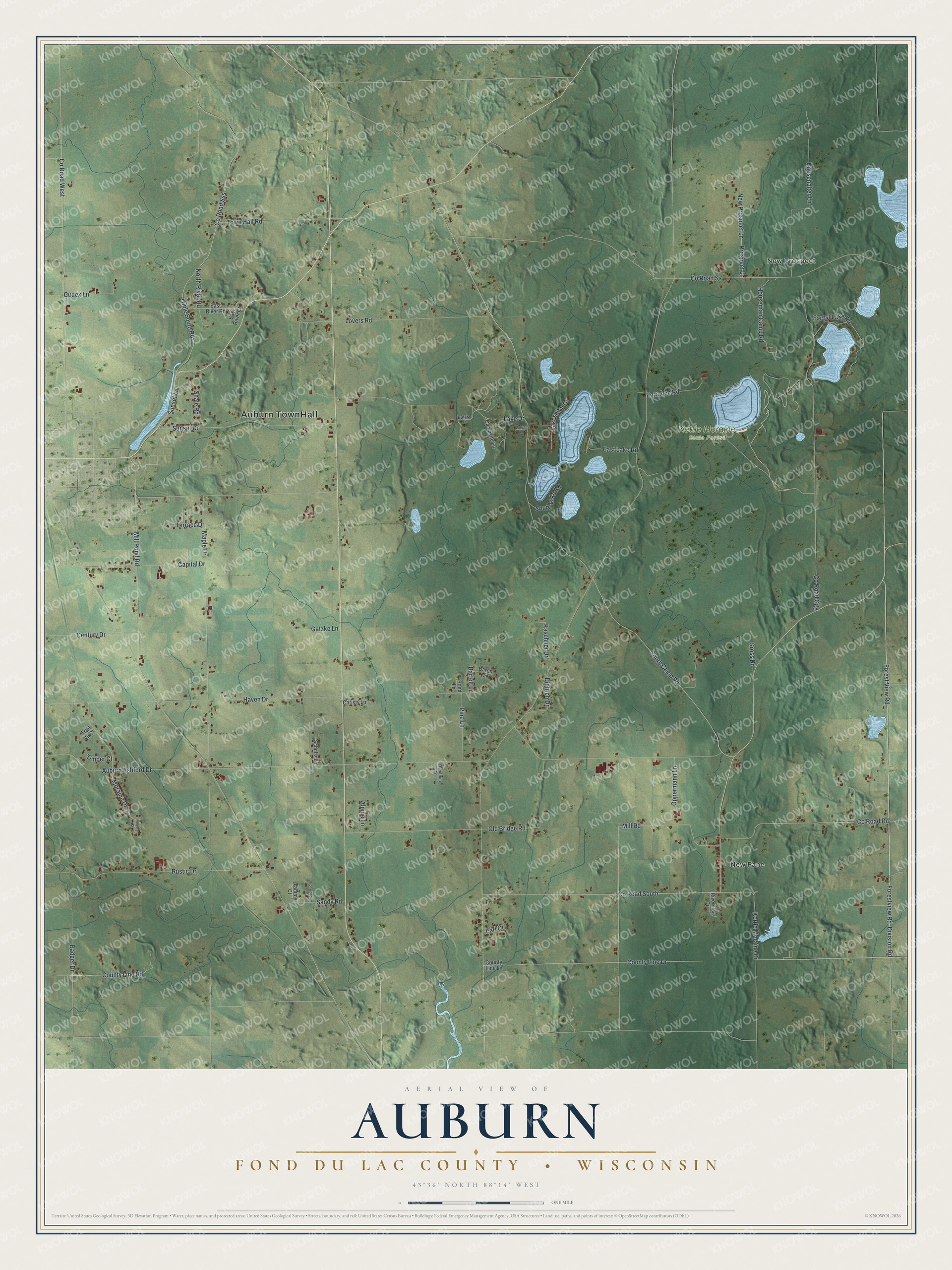
This beautifully detailed map of Auburn, Wisconsin was created in 2026 using aerial imagery combined with modern topographical, census, street and landmark data. It's a modern aerial view of Auburn in Fond du Lac County, Wisconsin, that combines modern data with a vintage aesthetic. The roads feature printed names, and if you look closely you can find your exact house accurately shown in its correct location.
Explore an aerial view of Auburn, Wisconsin
On this map you'll find Auburn TownHall, New Prospect, New Fane, Kettle Moraine State Forest, Co Road South, Forestview Road, Division Road, County Line Drive, Forest View Road, County Line Road, Co Road Dd, Mill Pond Road, and more. Each red shape is a building, so zoom in on the preview and look for yours.
Here is a piece of Auburn history, in the words of the record. The Internet Archive puts it this way: "Michael McCulloch was the first Irish settler; Philip Oelig and Gerhardt Volkerts, the
first German settlers in' Auburn."
Auburn is a town in Fond du Lac County. The Census Bureau counted 2,360 people here in 2020.
Take a closer look at the Auburn map
Names on this map
These names are printed on this map.
Places: Auburn TownHall, New Prospect, New Fane and Kettle Moraine State Forest.
Streets and roads: County Road South, Forestview Road, Division Road, County Line Drive, Forest View Road, County Line Road, County Road Dd, Mill Pond Road, Auburn Ashford Drive, County Road Ss, Maple Drive, County Road Ggg.
More street names, A to Z
Alpine Lane, Badger Drive, Baron Circle, Bartelt Lane, Butzke Lane, Campsite Lane, Capital Drive, Century Drive, Christy Lane, County Line Lane, County Road Sss, County Road West, Dietrich Drive, Earl Court, East Lake Road, East River Court, East River Road, Entrance Road, Forest Lake Road, Gatzke Lane, Gross Road, Gudex Lane, Hausehalter Lane, Haven Drive, Hillside Court, Houseman Camp Road, Ironwood Lane, Kaschner Drive, Kettle Moraine Drive, Lake Drive, Lakeshore Drive, Lorries Lane, Lovers Road, Mill Road, Moraine Drive, New Prospect Lane, North River Road, Old Bridge Road, Oppermann Lane, Pine Lane, Pond Lane, Prospect Lane, Ramthun Lane, Riverside Drive, Rustic Drive, Sandy Road, Schultz Lane, Shale Road, South Lake Road, Sunset Drive, Sunset Lane, Tammy Court, Terrace Drive, Timber Court, Town Hall Road, Trail Vu Court, Triple South Road, Youth Camp Road.
Created by KNOWOL in 2026. The buildings are small red shapes, the roads carry their printed names, and shaded relief shows the shape of the land. The title panel reads "AERIAL VIEW OF AUBURN FOND DU LAC COUNTY • WISCONSIN" with 43°36' NORTH 88°14' WEST.
It suits a den, a classroom or a front hall, and it makes a gift for anyone with Auburn roots. Open the preview and find the block you know. See sizes and frames for the Auburn, Fond du Lac County map.