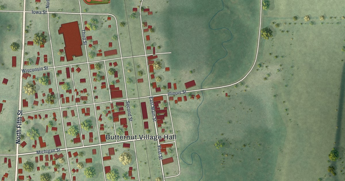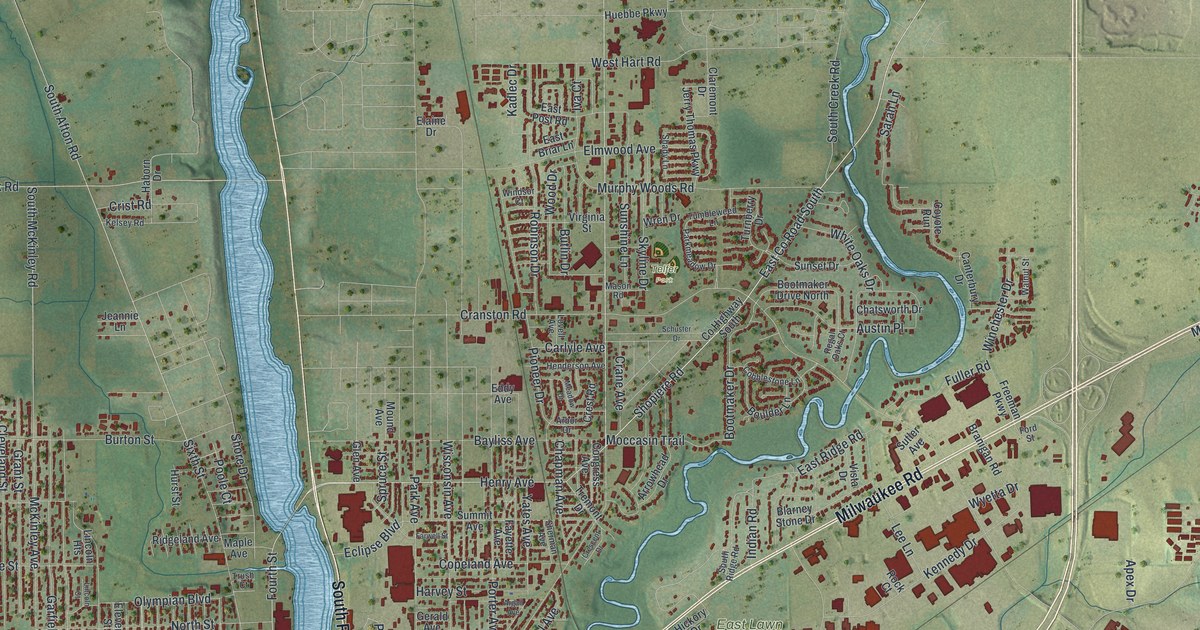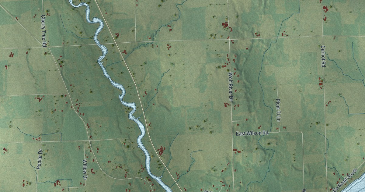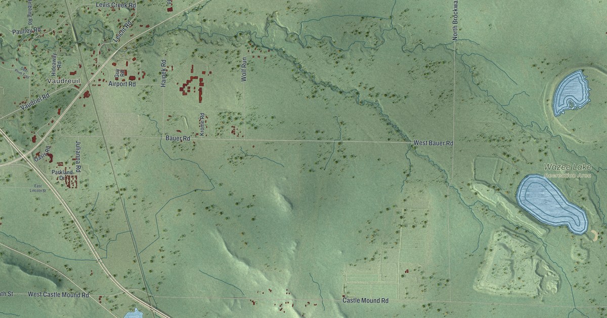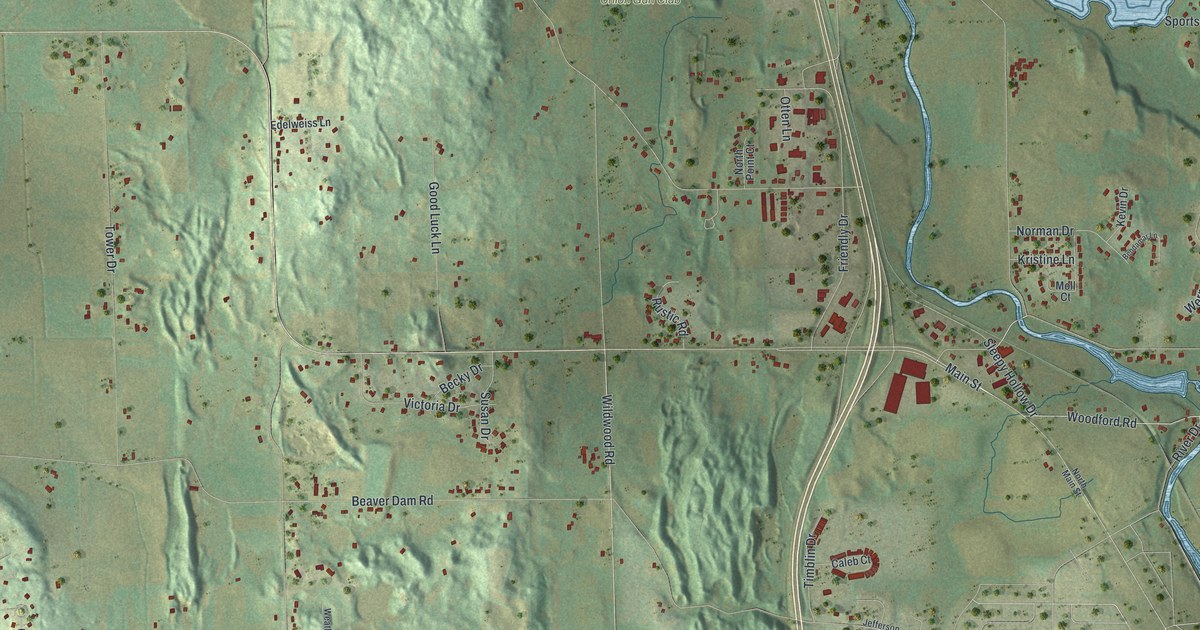
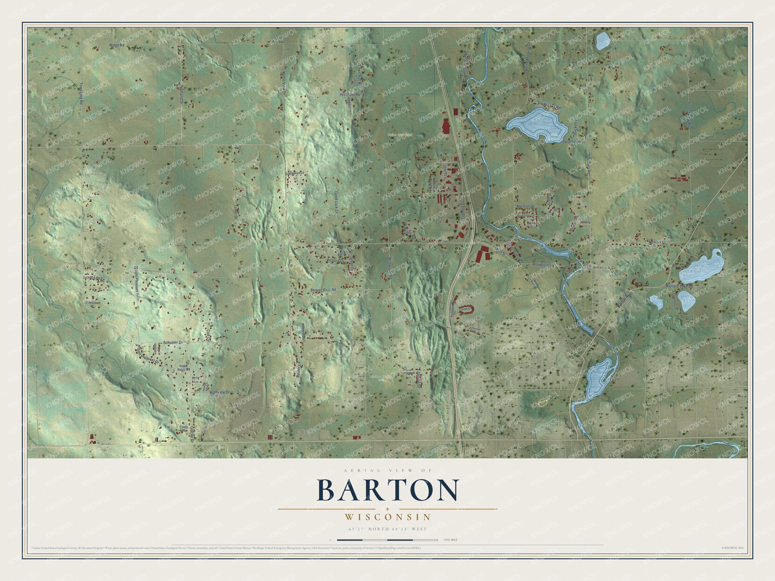
This beautifully detailed map of Barton, Wisconsin was created in 2026 using aerial imagery combined with modern topographical, census, street and landmark data. It's a modern aerial view of Barton in Washington County, Wisconsin, that combines modern data with a vintage aesthetic. The roads feature printed names, and if you look closely you can find your exact house accurately shown in its correct location.
Explore an aerial view of Barton, Wisconsin
On this map you'll find Young America, Faith Haven, Jordan Family Park, Union Gun Club, Salisbury Road, Woodford Road, Schuster Drive, Main Street, Ridge Road, Beaver Dam Road, Town Line Road, Glacier Drive, and more. Each red shape is a building, so zoom in on the preview and look for yours.
Barton is a town in Washington County. The Census Bureau counted 2,743 people here in 2020. The map prints the town name in its title panel, with the coordinates below it.
Take a closer look at the Barton map
Names on this map
These names are printed on this map.
Places: Young America, Faith Haven, Jordan Family Park and Union Gun Club.
Streets and roads: Salisbury Road, Woodford Road, Schuster Drive, Main Street, Ridge Road, Beaver Dam Road, Town Line Road, Glacier Drive, Kettle View Drive, Kettle Moraine Drive, Wildwood Road, Town Hall Road.
More street names, A to Z
Barton Avenue, Becky Drive, Bendamar Lane, Caleb Court, Canyon Lane, Cindy Place, Colt Circle, Dricken Lane, Edelweiss Lane, Forest View Road, Friendly Drive, Good Luck Lane, Hawk Ridge Road, Hickory Hill Drive, Highland Drive, Highview Drive, Hi Mount Road, Holly Lane, Hunters Drive, Jamestown Place, Jansen Drive, Jansen Drive North, Jefferson Street, Kevin Drive, Kristine Lane, Landfill Road, Lenwood Drive, Loretta Lane, Moll Court, Mount Pleasant Drive, Newark Drive, Norman Drive, North Main Street, North Point Court, Otten Lane, Pleasant Drive, Reuter Lane, River Drive, Rustic Road, Sandy Ridge Road, Sleepy Hollow Drive, Smith Lake Road, Sportsman Lane, Susan Drive, Susan Lee Court, Timblin Drive, Tower Drive, Victoria Drive, Wallace Lake Road, Weatherstone Court, Werner Road.
Created by KNOWOL in 2026. The buildings are small red shapes, the roads carry their printed names, and shaded relief shows the shape of the land. The title panel reads "AERIAL VIEW OF BARTON WISCONSIN" with 43°27' NORTH 88°13' WEST.
It suits a den, a classroom or a front hall, and it makes a gift for anyone with Barton roots. Open the preview and find the block you know. See sizes and frames for the Barton map.