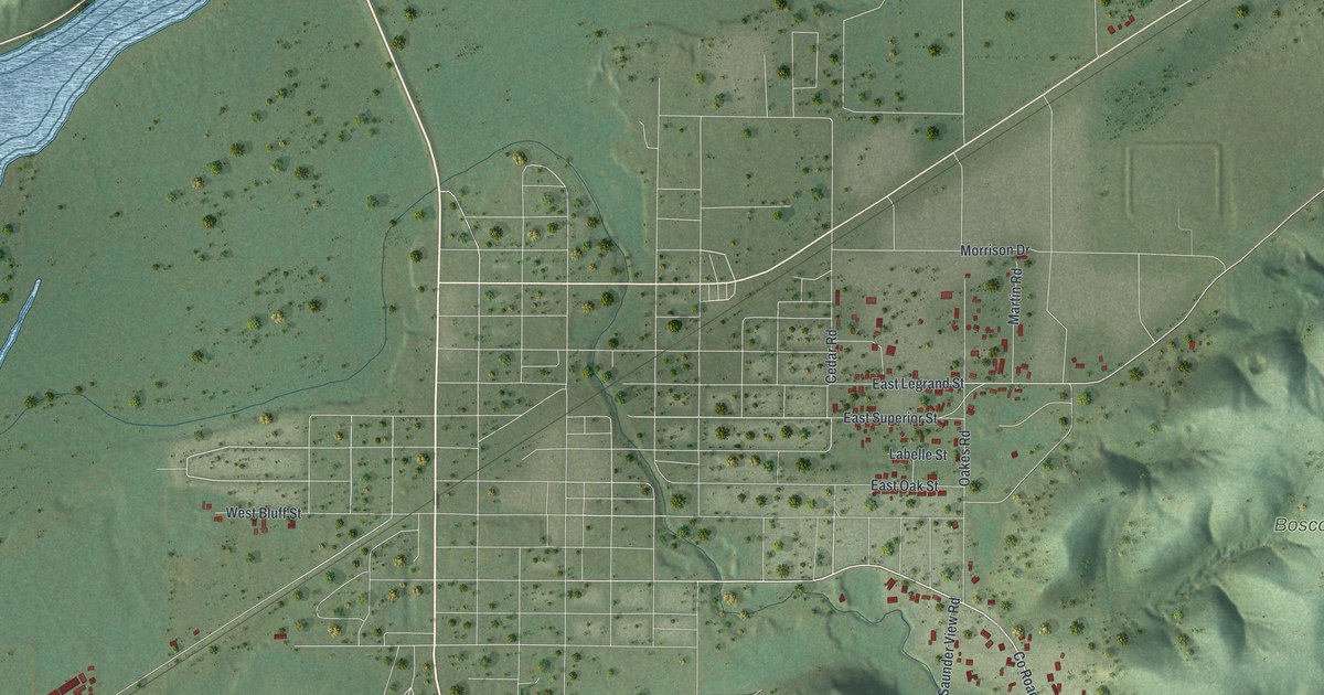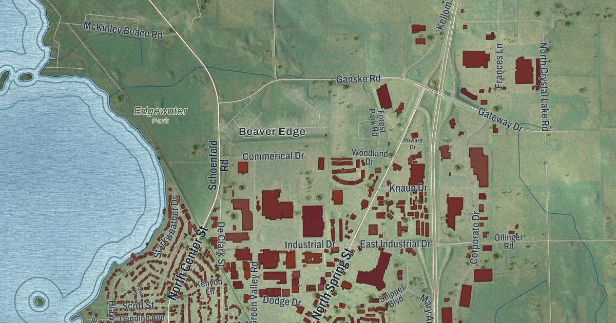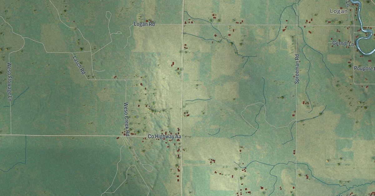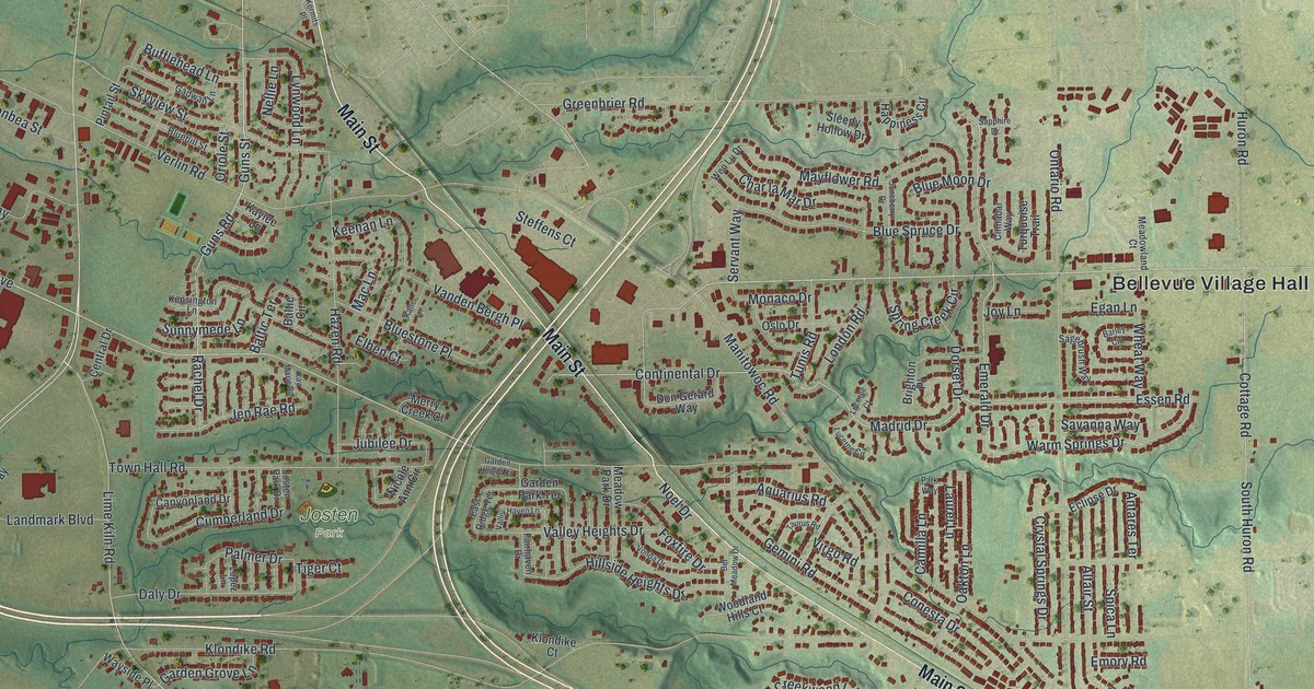
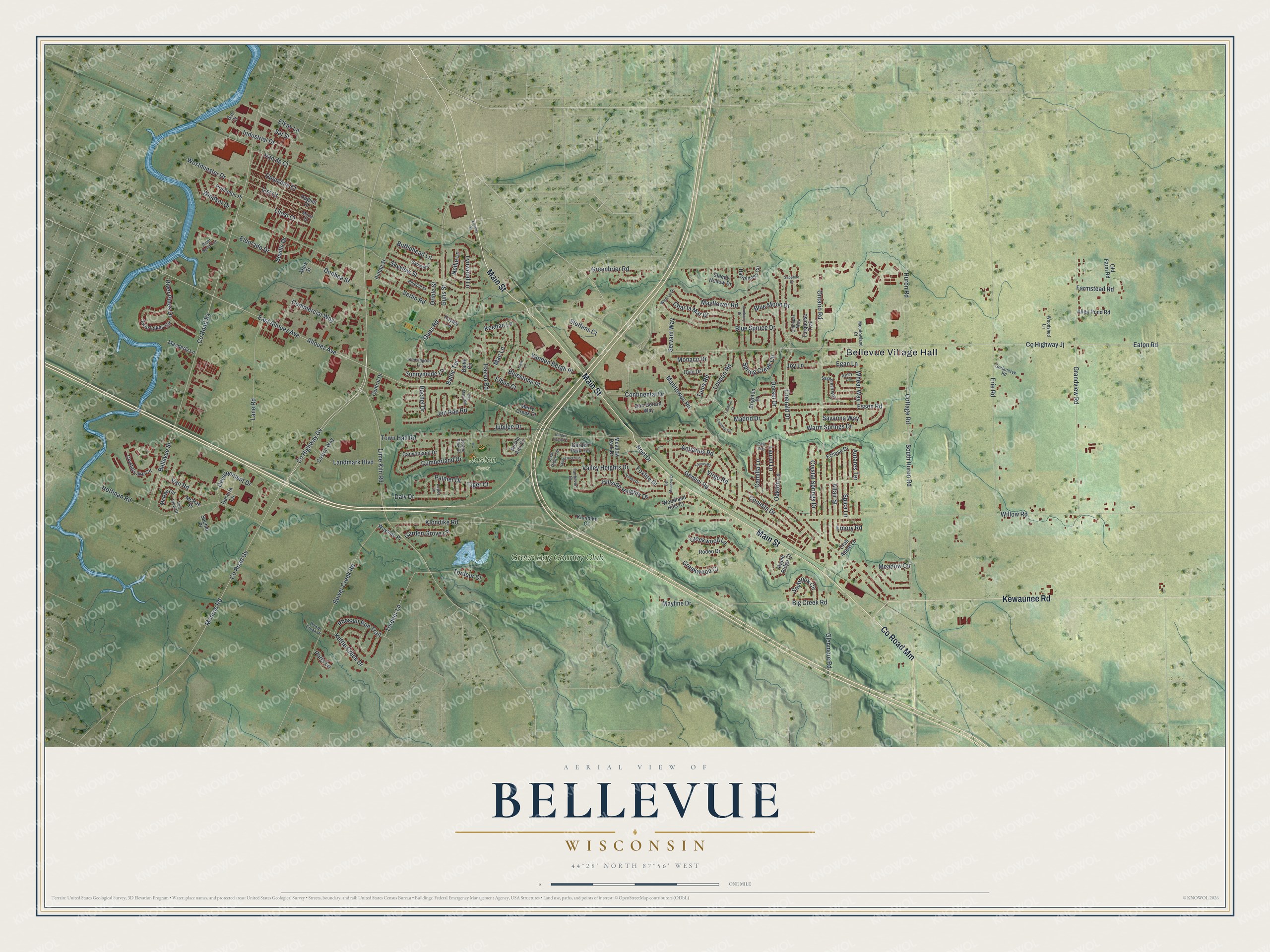
This beautifully detailed map of Bellevue, Wisconsin was created in 2026 using aerial imagery combined with modern topographical, census, street and landmark data. It's a modern aerial view of Bellevue in Brown County, Wisconsin, that combines modern data with a vintage aesthetic. The roads feature printed names, and if you look closely you can find your exact house accurately shown in its correct location.
Explore an aerial view of Bellevue, Wisconsin
On this map you'll find Bellevue Village Hall, Josten Park, Green Bay Country Club, Co Road Mm, Main Street, Kewaunee Road, Lime Kiln Road, Manitowoc Road, Guns Street, Emerald Drive, Guns Road, Continental Drive, and more. Each red shape is a building, so zoom in on the preview and look for yours.
Bellevue is a village in Brown County. The Census Bureau counted 15,935 people here in 2020. The map prints the town name in its title panel, with the coordinates below it.
Take a closer look at the Bellevue map
Names on this map
These names are printed on this map.
Places: Bellevue Village Hall, Josten Park and Green Bay Country Club.
Streets and roads: County Road Mm, Main Street, Kewaunee Road, Lime Kiln Road, Manitowoc Road, Guns Street, Emerald Drive, Guns Road, Continental Drive, Essen Road, Warm Springs Drive, Madrid Drive.
More street names, A to Z
Allen Pond Road, Allouez Avenue, Altair Street, Antares Terrace, Apple Ridge Court, Aquarius Road, Baltic Circle, Baltic Terrace, Barley Circle, Bellevue Street, Bel Meadow Drive, Big Creek Road, Bluebill Street, Blue Moon Drive, Blue Spruce Drive, Bluestone Place, Bower Creek Place, Bower Creek Road, Brighton Place, Bufflehead Lane, Camilla Lane, Canyonland Drive, Central Drive, Char la Mar Drive, Cinnabar Way, Commercial Way, Conesta Drive, Costco Way, Cottage Road, County Highway Gv, County Highway Jj, County Road Gv, County Road Xx, Crab Apple Lane, Creekwood Ci, Creekwood Lane, Crystal Lake Circle, Crystal Springs Drive, Cumberland Drive, Daly Drive, Decuria Lane, Development Drive, Donbea Street, Don Gerard Way, Dorset Drive, Duquaine Court, East Allouez Avenue, East Ridge Terrace, Eaton Road, Eclipse Drive, Egan Lane, Elben Court, Eldorado Drive, Elkay Lane, Emory Road, Erie Road, Fairhaven Drive, Farmstead Road, Foxfire Drive, Gadwall Lane, Garden Grove Lane, Garden Height Court, Garden Park Terrace, Gemini Road, Glenmore Road, Gorlanczyk Road, Grandview Road, Greenbrier Road, Happiness Circle, Hazen Road, Hillside Heights Drive, Hoffman Road, Huguet Court, Huron Road, Industrial Drive, Jen Rae Road, Josten Park Drive, Joy Lane, Jubilee Drive, Juneberry Drive, Kane Lane, Kaylee Lane, Kay Marie Road, Keehan Lane, Kensington Lane, Kermits Place, Kettle Creek Drive, Klondike Court, Klondike Road, Landmark Boulevard, Lane Road, Laurel Lane, Lhost Court, List Court, London Road, Lopez Lane, Lucerne Circle, Lucerne Court, Lynwood Lane, Mac Lane, Manderly Lane, Mark Street, Mayflower Road, Mayline Drive, McRae Circle, McRae Place, Meadow Circle, Meadowland Court, Meadow Park Drive, Merry Creek Court, Miron Court, Monaco Drive, Monroe Road, Nellie Lane, Nicole Ann Circle, Noel Drive, Oakton Lane, Old Farm Road, Ontario Road, Oriole Street, Oslo Drive, Palmer Drive, Paris Lane, Park Way, Phesant Run Trail, Pintail Street, Princeton Place, Rachel Drive, River Bend Terrace, River Pines Drive, Rodeo Drive, Sachet Place, Sagebrush Way, Sal Court, Sal Street, Sapphire Drive, Savanna Way, Saybrook Circle, Servant Way, Seville Drive, Skyview Street, Sleepy Hollow Drive, South Huron Road, Spica Lane, Spring Creek Circle, Steffens Court, Sunnymede Lane, Taurus Road, Tiger Court, Tordeur Court, Tordeur Lane, Town Hall Road, Tunis Road, Turquoise Trail, Twin Lakes Circle, Valley Haven Lane, Valley Heights Drive, Van de Court, Vanden Bergh Place, Van Road, Van View Street, Verlin Road, Virgo Road, Vonda Drive, Wayside Place, Wen Lu Drive, Westminster Drive, Wheat Way, Willow Road, Windsor Drive, Woodland Hills Court, Woodshed Lane.
Created by KNOWOL in 2026. The buildings are small red shapes, the roads carry their printed names, and shaded relief shows the shape of the land. The title panel reads "AERIAL VIEW OF BELLEVUE WISCONSIN" with 44°28' NORTH 87°56' WEST.
Hang it in the hallway, the office or the cabin, or give it to someone who left Bellevue and still calls it home. Open the preview and look for a street you know. See sizes and frames for the Bellevue map.