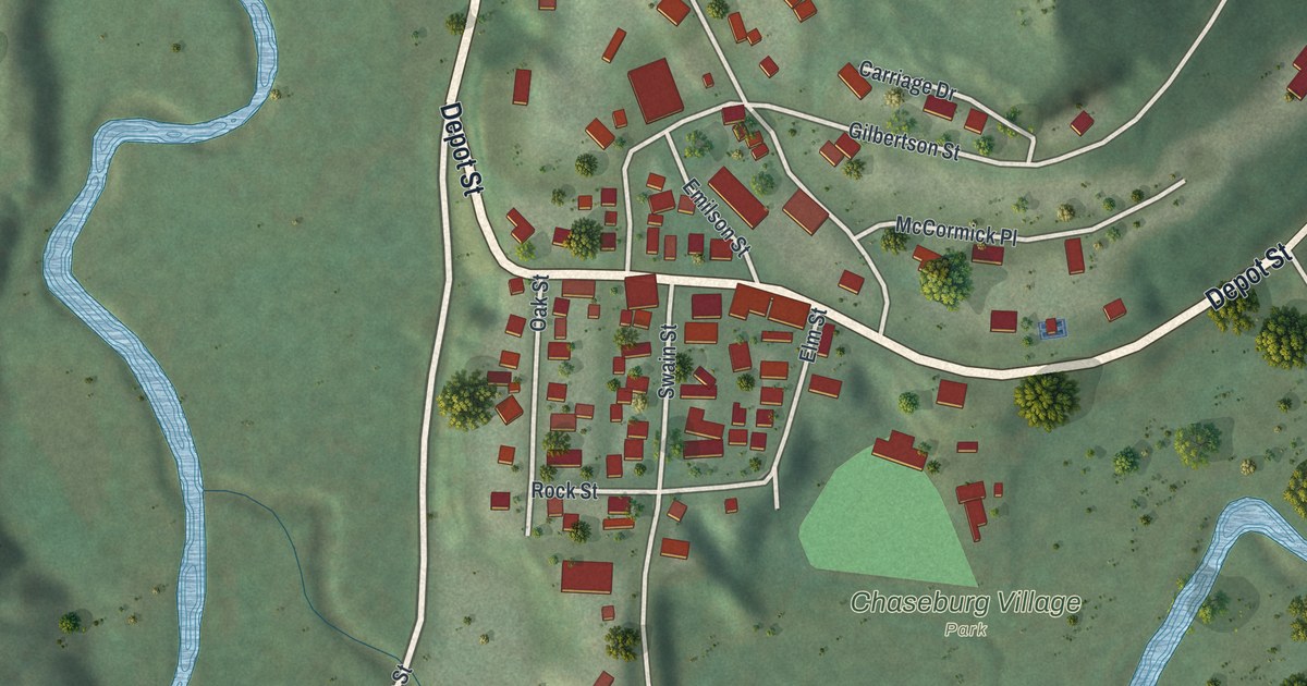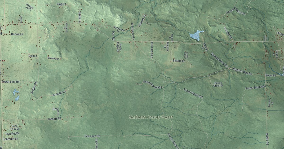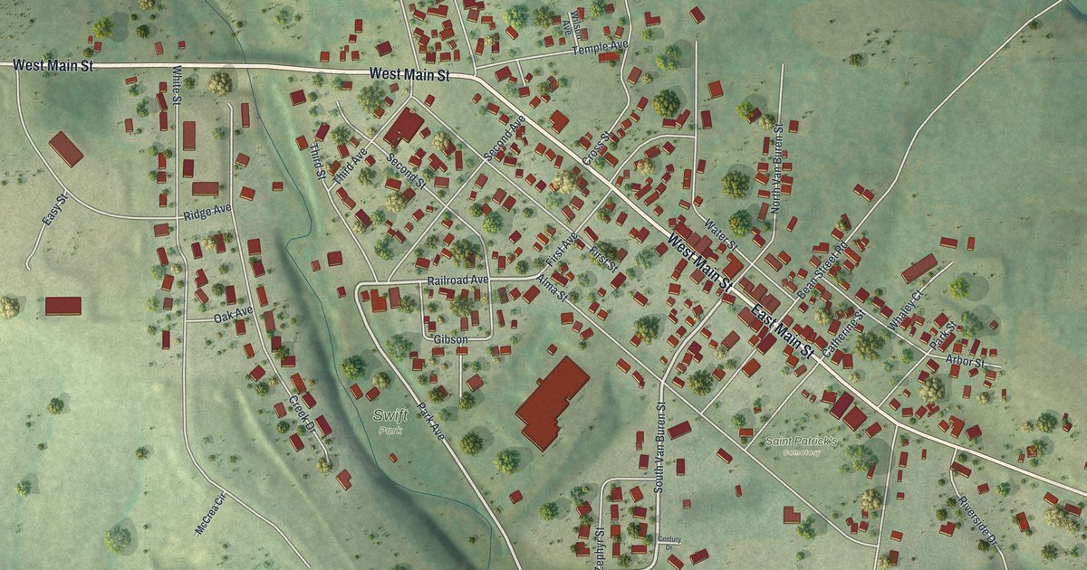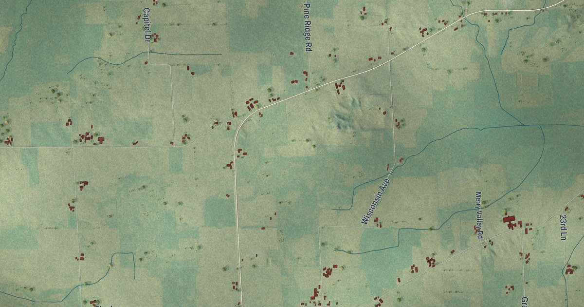
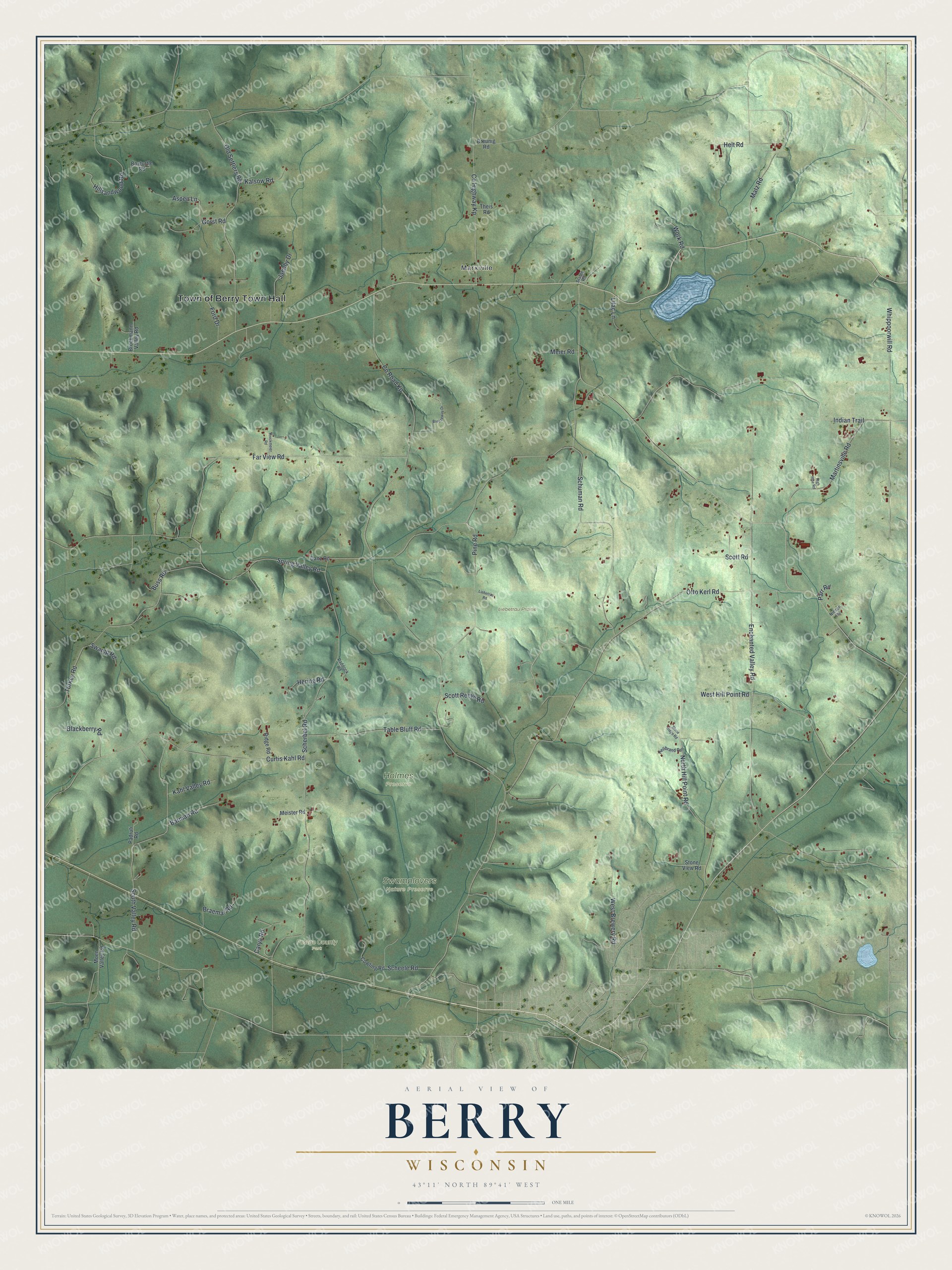
This beautifully detailed map of Berry, Wisconsin was created in 2026 using aerial imagery combined with modern topographical, census, street and landmark data. It's a modern aerial view of Berry in Dane County, Wisconsin, that combines modern data with a vintage aesthetic. The roads feature printed names, and if you look closely you can find your exact house accurately shown in its correct location.
Explore an aerial view of Berry, Wisconsin
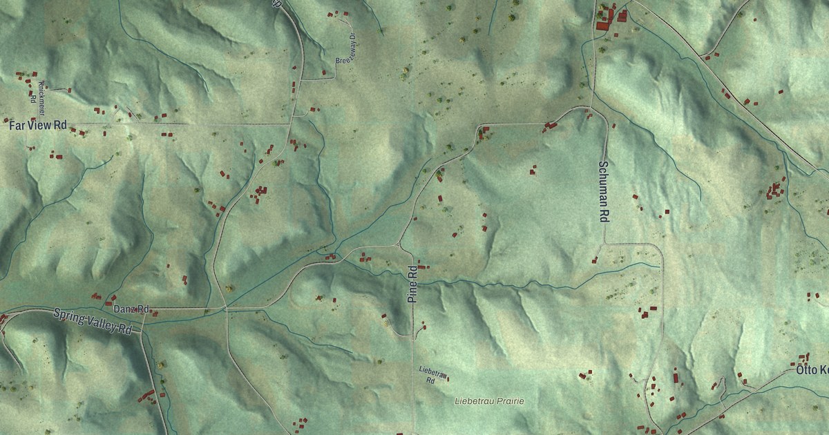
On this map you'll find Town of Berry Town Hall, Marxville, Festge County Park, Holmes Preserve, Liebetrau Prairie, Swamplovers Nature Preserve, Co Road Kp, Spring Valley Road, Enchanted Valley Road, Scherbel Road, Otto Kerl Road, Schuman Road, and more. Each red shape is a building, so zoom in on the preview and look for yours.
Berry is a town in Dane County. The Census Bureau counted 1,168 people here in 2020. The map prints the town name in its title panel, with the coordinates below it.
Take a closer look at the Berry map
Names on this map
These names are printed on this map.
Places: Town of Berry Town Hall, Marxville, Festge County Park, Holmes Preserve, Liebetrau Prairie and Swamplovers Nature Preserve.
Streets and roads: County Road Kp, Spring Valley Road, Enchanted Valley Road, Scherbel Road, Otto Kerl Road, Schuman Road, Indian Trail, Whippoorwill Road, Far View Road, Curtis Kahl Road, County Highway Kp, South Valley Road.
More street names, A to Z
Aspen Lane, Barman Road, Blackberry Road, Boxturtle Road, Braemar Road, Breezeway Drive, Breunig Road, Brockmann Valley Road, Buss Road, Carya Road, Cowling Road, Danz Road, Ford Drive, Gorst Road, Hellbrand Road, Helt Road, Hering Road, High Rise Road, Hillsandwood Road, Jacoby Drive, Kahl Valley Road, Kalsow Road, Knickmeier Road, Liebetrau Road, Lilac Lane, Martinsville Road, Matz Road, Meier Road, Meister Road, Moen Valley Road, Niesen Road, North Hill Point Road, Old Settlers Road, Paddock Road, Padruti Road, Parr Road, Pine Road, Ridge Road, Scheele Road, Scott Reeve Road, Scott Road, Stable Road, Stone Ridge Road, Stone View Road, Swamp Road, Table Bluff Road, Theis Road, Turkey Road, West Brewery Road, West Hill Point Road, Work Road.
Created by KNOWOL in 2026. The buildings are small red shapes, the roads carry their printed names, and shaded relief shows the shape of the land. The title panel reads "AERIAL VIEW OF BERRY WISCONSIN" with 43°11' NORTH 89°41' WEST.
It suits a den, a classroom or a front hall, and it makes a gift for anyone with Berry roots. Open the preview and find the block you know. See sizes and frames for the Berry map.