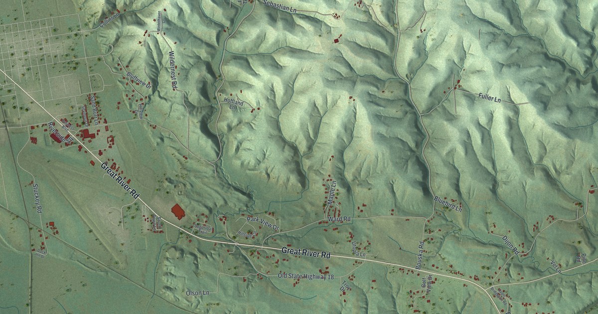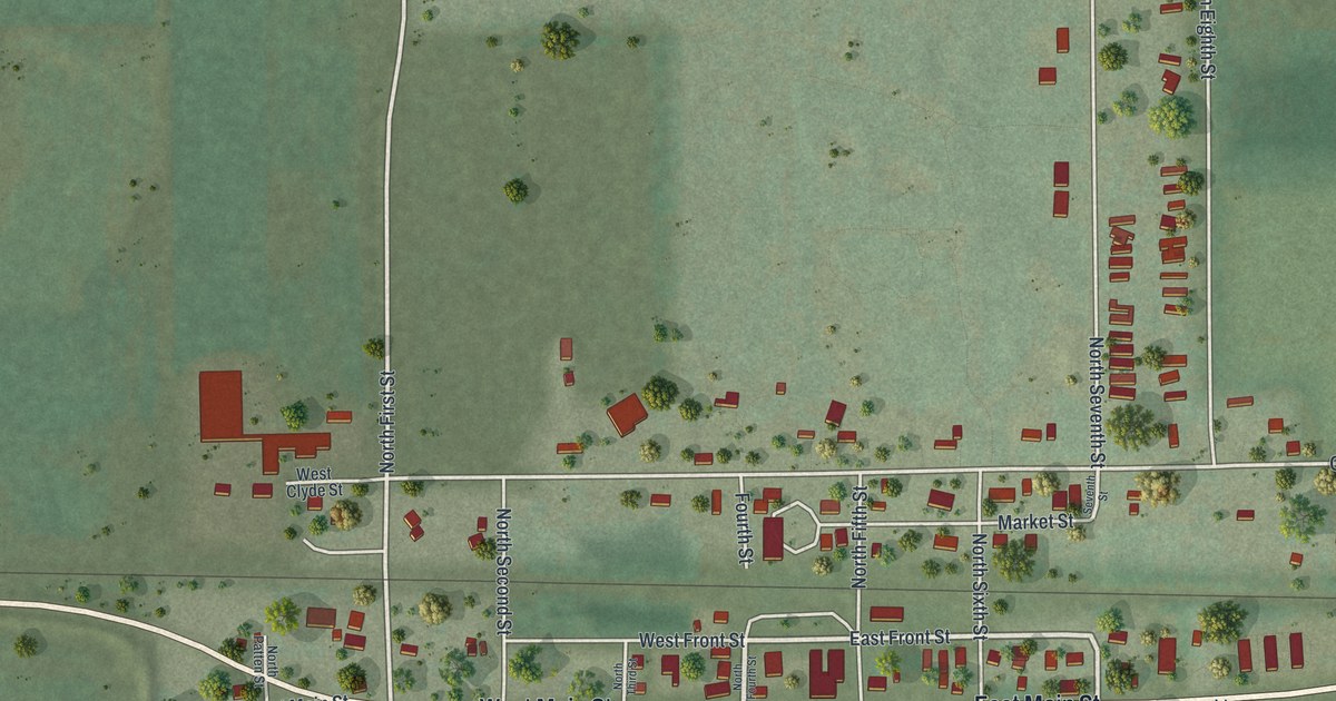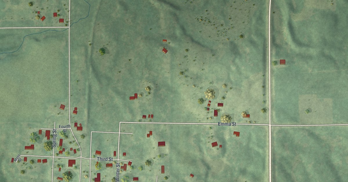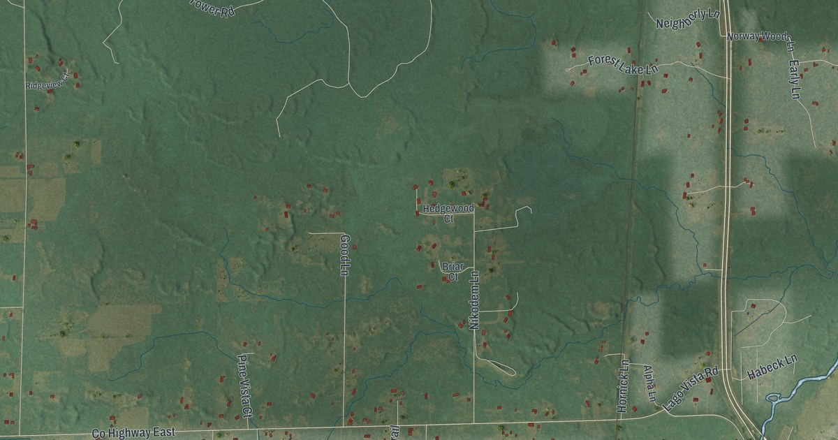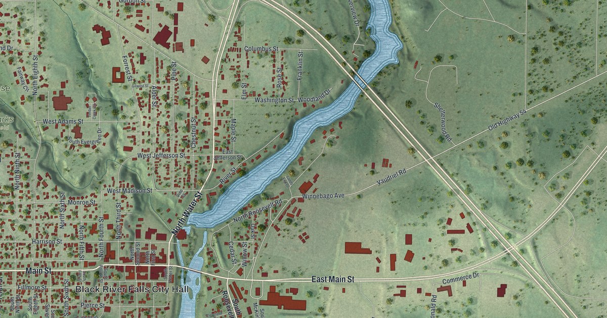
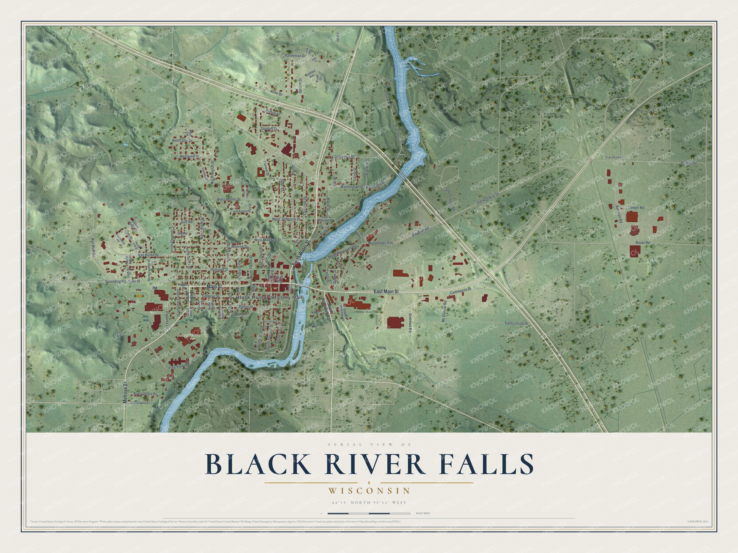
This beautifully detailed map of Black River Falls, Wisconsin was created in 2026 using aerial imagery combined with modern topographical, census, street and landmark data. It's a modern aerial view of Black River Falls in Jackson County, Wisconsin, that combines modern data with a vintage aesthetic. The roads feature printed names, and if you look closely you can find your exact house accurately shown in its correct location.
Explore an aerial view of Black River Falls, Wisconsin
On this map you'll find Black River Falls City Hall, Jackson County Fair Park, Lunda Park, Marks Field, Vaudreuil, Skyline Golf Course, East Main Street, North Water Street, Main Street, Melrose Street, Winnebago Avenue, Old Highway 54, and more. Each red shape is a building, so zoom in on the preview and look for yours.
Black River Falls is a city in Jackson County. The Census Bureau counted 3,523 people here in 2020. The map prints the town name in its title panel, with the coordinates below it.
Take a closer look at the Black River Falls map
Names on this map
These names are printed on this map.
Places: Black River Falls City Hall, Jackson County Fair Park, Lunda Park, Marks Field, Vaudreuil and Skyline Golf Course.
Streets and roads: East Main Street, North Water Street, Main Street, Melrose Street, Winnebago Avenue, Old Highway 54, Vaudriel Road, North Fourth Street, Tyler Street, West Madison Street, North Ninth Street, Anne Drive.
More street names, A to Z
13th Street, 14th Street, Airport Road, Alder Street, Andrews Road, Barbara Avenue, Bauer Road, Buchanan Street, Buena Vista Drive, Cedar Street, Chestnut Street, Chula Vista Drive, Cleveland Street, Clifton Street, Columbus Street, Commerce Drive, Cottonwood Avenue, Diploma Lane, East Jefferson Street, East Lincoln Street, Elm Street, Fairway Circle, Fillmore Street, Forrest Street, Franklin Street, Gilwest Street, Golf Road, Gordon Street, Haldeman Drive, Harrison Street, Jims Avenue, Lands End Drive, Maple Street, Mc Donald Road, Monroe Street, North 13th Street, North 14th Street, North Eighth Street, North Eleventh Street, North Fifth Street, North First Street, North Roosevelt Road, North Second Street, North Sixth Street, North Star Drive, North Tenth Street, North Third Street, North Twelfth Street, Oak Street, Pierce Street, Pine Street, Pine View Road, Pony Lane, Red Iron Road, Reed Drive, River Street, Riverview Drive, Riverview Road, Rose Street, Ruf Road, Ryan Circle, Rye Bluff Road, Shelterwood Road, Skyline Street, Slyline Ridge Drive, South Eighth Street, South Eleventh Street, South Evergreen Drive, South Fifth Street, South First Street, South Fourth Street, South McKinley Street, South Ninth Street, South Roosevelt Road, South Second Street, South Seventh Street, South Sixth Street, South Tenth Street, South Third Street, South Water Street, Spaulding Road, Spruce Street, Timber Creek Circle, Timber Road, Van Buren Street, Vine Street, Washington Street, West Adams Street, West Jefferson Street, West Lincoln Street, Westwind Drive, Willow Street, Woodland Drive.
Created by KNOWOL in 2026. The buildings are small red shapes, the roads carry their printed names, and shaded relief shows the shape of the land. The title panel reads "AERIAL VIEW OF BLACK RIVER FALLS WISCONSIN" with 44°18' NORTH 90°51' WEST.
Hang it in the hallway, the office or the cabin, or give it to someone who left Black River Falls and still calls it home. Open the preview and look for a street you know. See sizes and frames for the Black River Falls map.