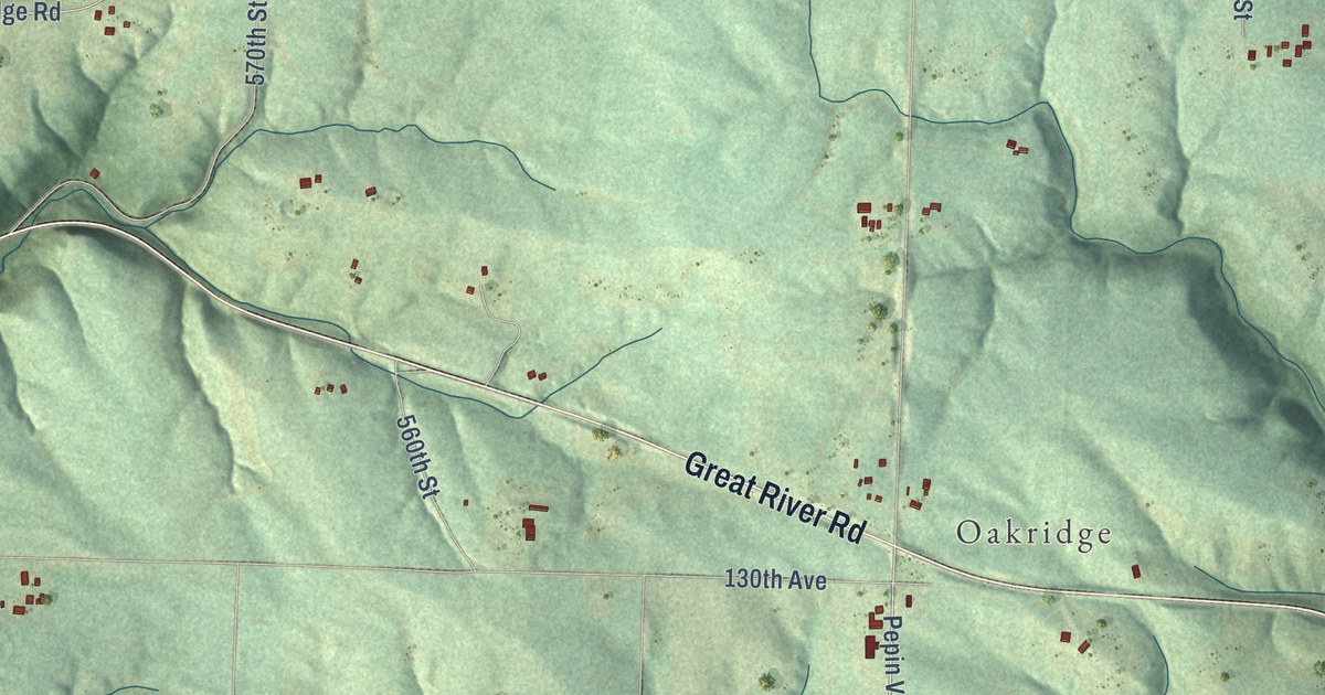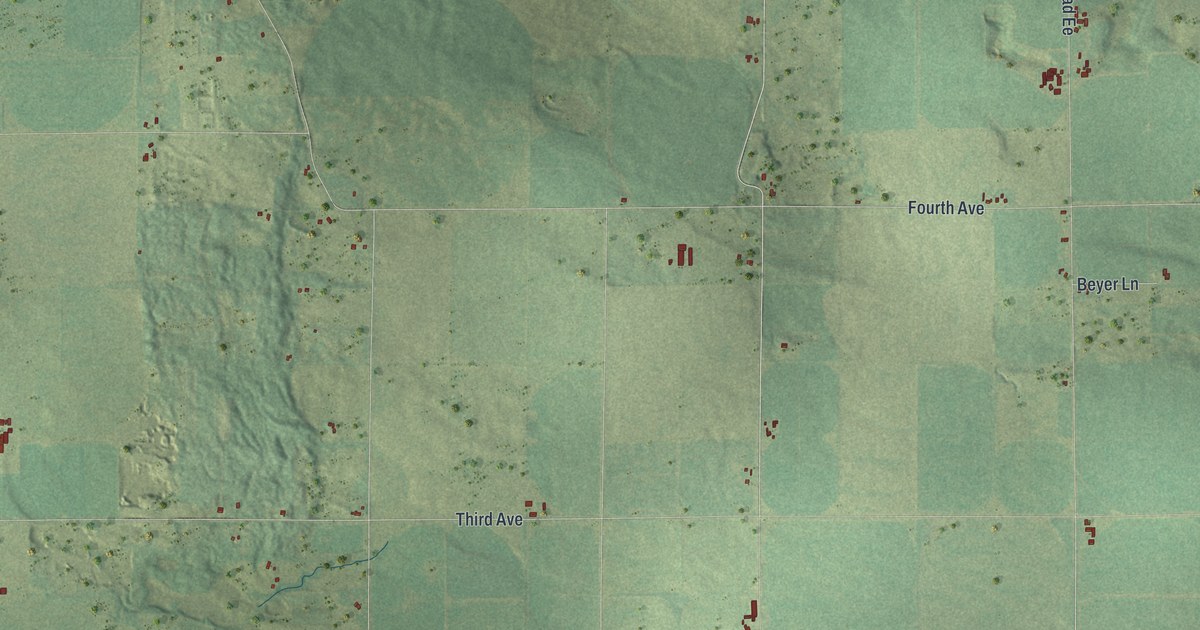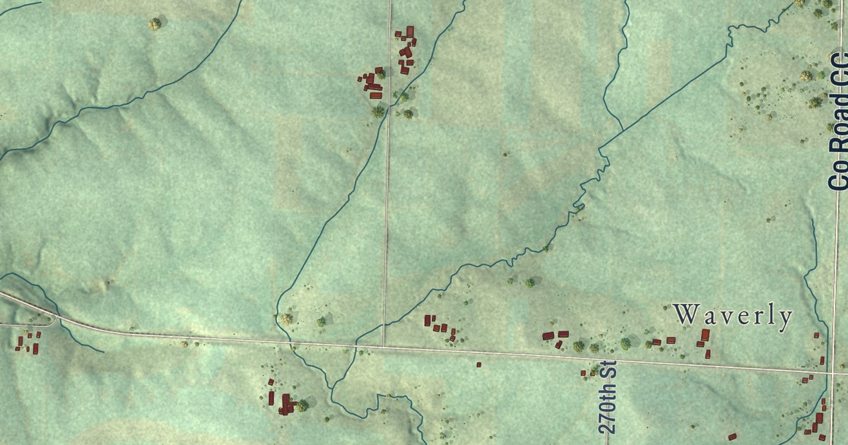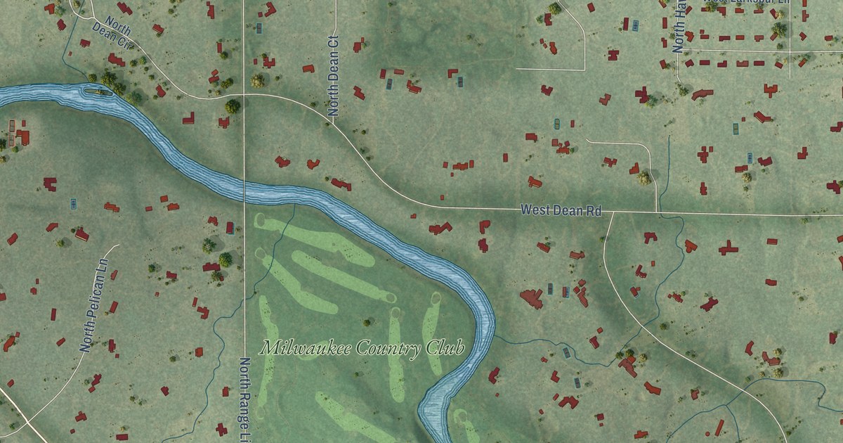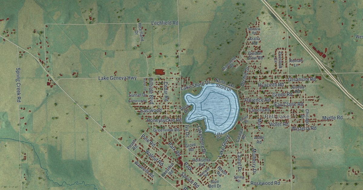
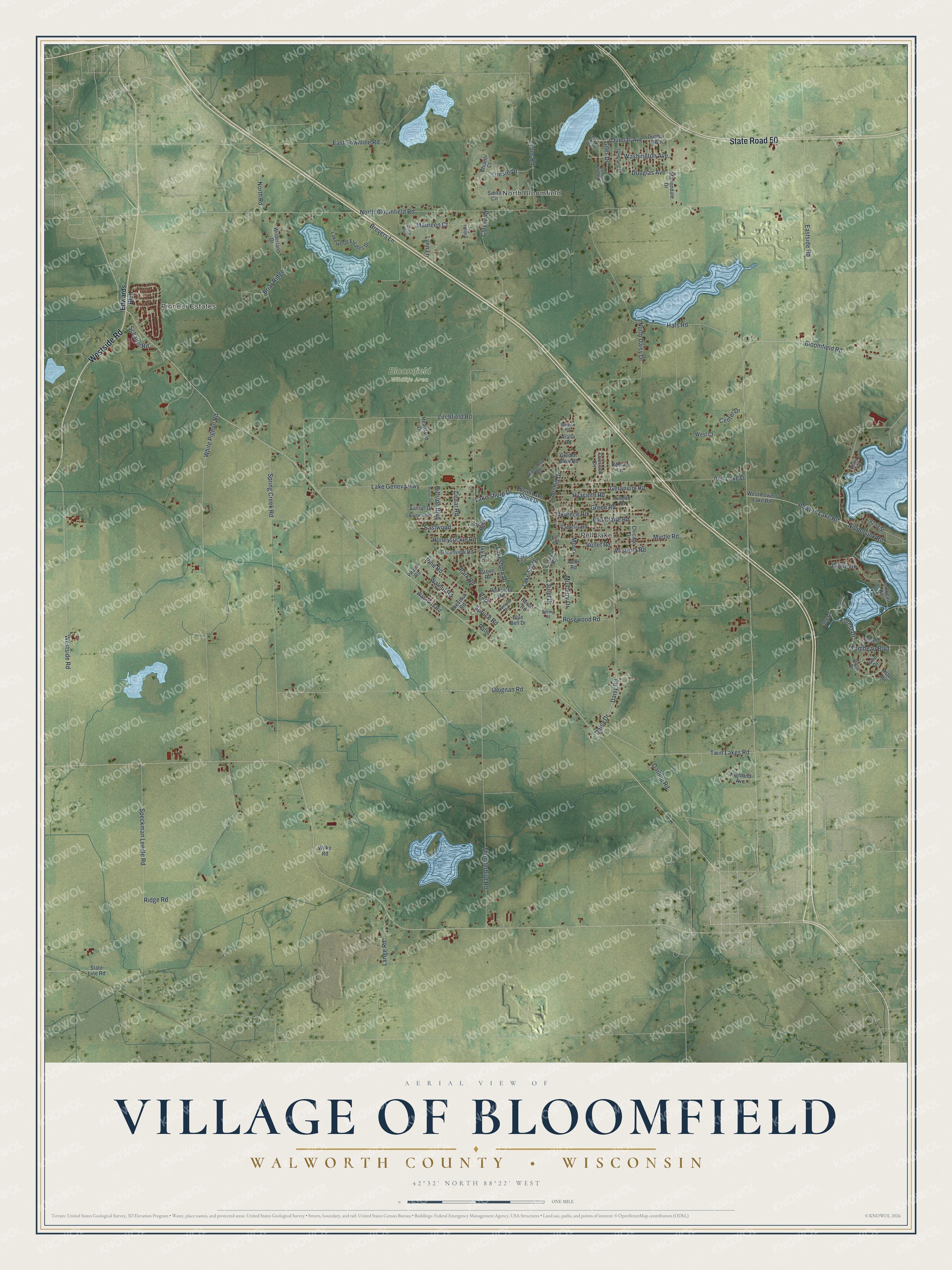
This beautifully detailed map of Bloomfield, Wisconsin was created in 2026 using aerial imagery combined with modern topographical, census, street and landmark data. It’s a one-of-a-kind view of Bloomfield that combines accurate data with a vintage aesthetic. The map shows every building in its true location, many of the roads carry their names, and the shaded topographic relief shows the shape of the land.
Explore an aerial view of Bloomfield, Wisconsin
On the map you’ll find Pioneer Estates, North Bloomfield, Pell Lake, Bloomfield Wildlife Area, and Lake Shore, along with Westside Road, State Road 50, Laurel Drive, Forest Drive, Tombeau Boulevard, Powers Lake Road, Bloomfield Road, and more. If you look closely you can even find your house accurately drawn in its correct location. Zoom in on the preview to look for yours.
Did you know this piece of Bloomfield, Wisconsin history?
Pell Lake, the heart of the village of Bloomfield, is named for Ira A. Pell. He came to the town of Bloomfield in 1842 and settled on Section 15, beside the lake that came to bear his name. Pell died in 1870, and his widow and two sons still lived on his claim in 1882. That’s from the 1882 History of Walworth County, Wisconsin.
Take a closer look at the Bloomfield map
Street and place names on the Bloomfield, Wisconsin map
These names are printed on the map of Bloomfield, Wisconsin.
Places: Pioneer Estates, North Bloomfield, Pell Lake, Bloomfield Wildlife Area and Park.
Streets and roads: Westside Road, State Road 50, Lake Shore, Laurel Drive, Forest Drive, Tombeau Boulevard, Powers Lake Road, Bloomfield Road, Nippersink Road, Lakeshore Drive, Washington Avenue, Eastwood.
More street names, A to Z
92nd Street, Aralia Road, Aster Avenue, Aster Road, Beech Boulevard, Birchwood Road, Blue Bell Drive, Bluff Drive, Brevers Lane, Briar Ridge, Camelia Road, Catalpa Road, Cedar Road, Center Drive, Channel Drive, Chestnut Road, Chianti Court, Chicago Drive, Circle Drive, Clover Road, Crispus Attucks Drive, Daisy Drive, Daisy Road, Darling Road, Deignan Road, Douglas Avenue, Dunbar Avenue, Dunbar Boulevard, Eastside Road, East Townline Road, Eau Claire Road, Edwards Boulevard, Elliott Avenue, Florence Road, Geranium Road, Giles Drive, Golden Glow Road, Green Road, Greenview Road, Grove Road, Hafs Road, Heartland Drive, Heron Road, Highland Avenue, Hillside Boulevard, Hilltop Drive, Honeysuckle Road, Hyacinth Road, Ivy Drive, Joy Drive, Juneau Road, Lake Drive, Lake Geneva Highway, Lake Shore Drive, Lakewood Estates Drive, Lange Road, Litchfield Road, Loverture Drive, Lynn Lane, Lyons Road, Manor Terrace, Mariondale Drive, Maureen Court, Mignonette Road, Moss, Mulberry Drive, Myrtle Road, North Bloomfield Road, North Daisy Drive, North Lake Shore Drive, North Road, Orchid Drive, Overlook Circle, Palm, Park Road, Patrick Place, Peach Road, Pell Lake Drive, Pine Road, Poinsetta Road, Posy Road, Ridge Road, Roman Lane, Rose Drive, Rosewood Road, Schaitel Road, Siena Circle, Speckman Leedle Road, Spring Creek Road, Spring Street, Spruce Road, State Line Road, Sundew Road, Sunset Drive, Thistle Road, Thunderbird Road, Tombeau Road, Trieste Drive, Trumpet Road, Tulip Drive, Twin Lakes Road, Violet Road, Walnut Road, Walworth Road, West Court, West Powers Lake Road, White Pigeon Road, Wilderland Drive, Wilke Road, Wisteria Road.
See the Bloomfield, Wisconsin map on a wall
The Bloomfield map as an 18 x 24 inch print in a black frame.

This beautifully detailed map of Bloomfield makes an attractive addition to your office, library, or den, and it can even be used to teach children the geography and history of the area. It also makes a great gift for anyone with Bloomfield roots. When you’re done exploring, click here to get your copy of the Bloomfield map.