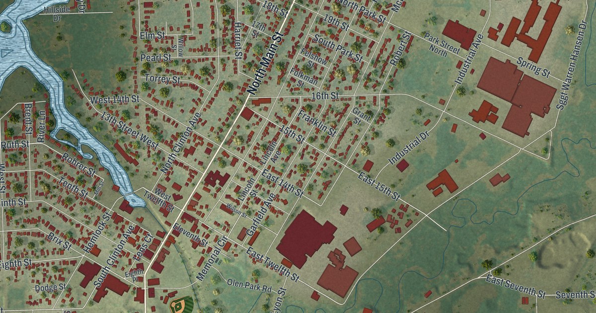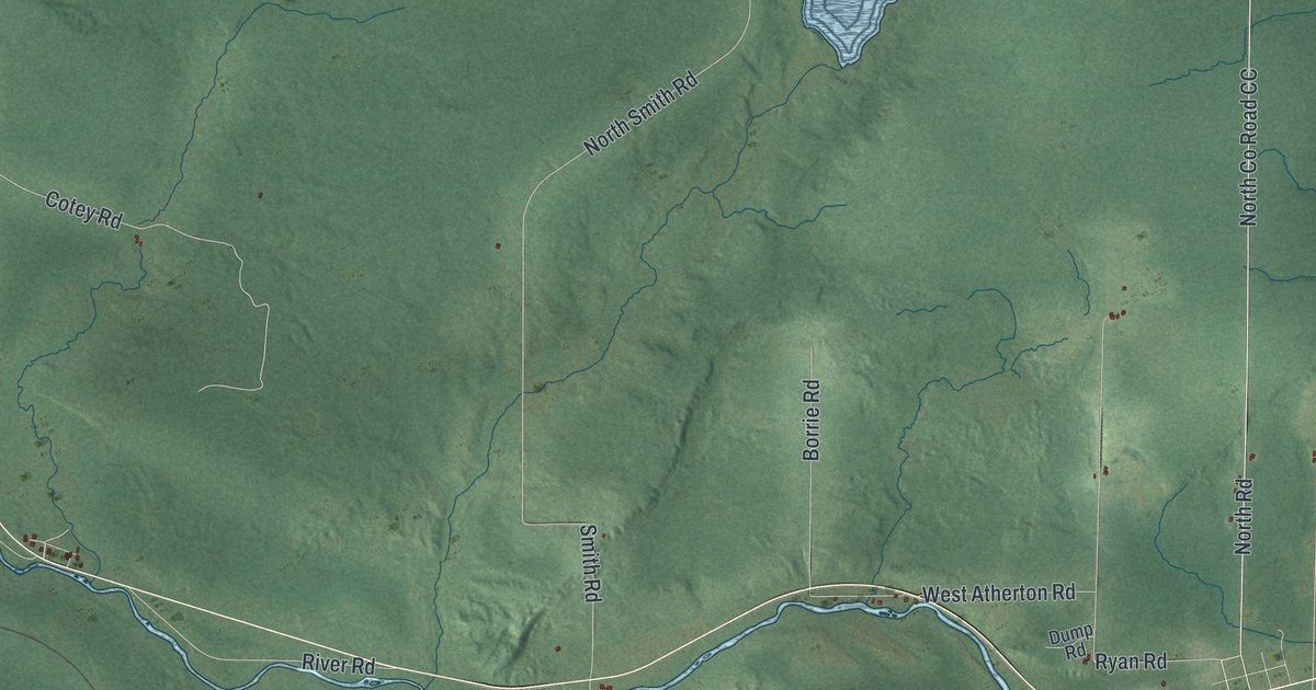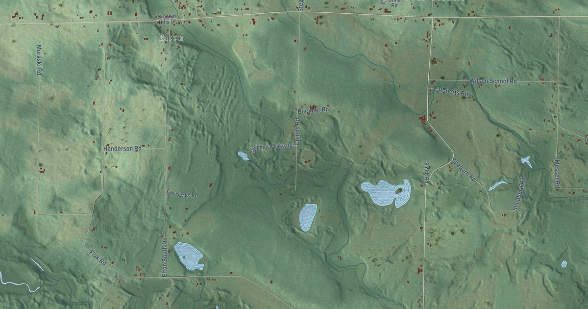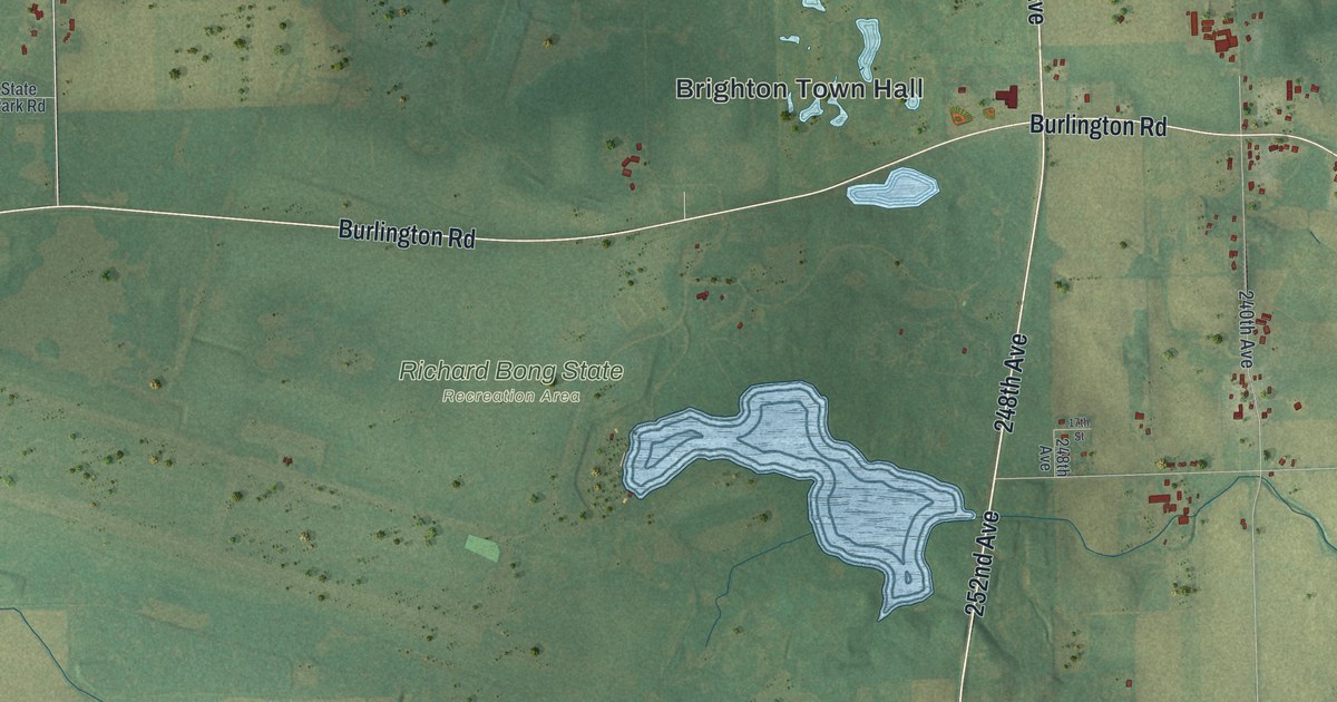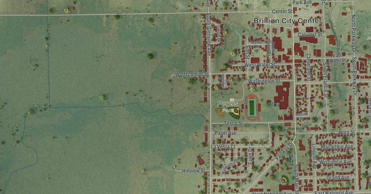
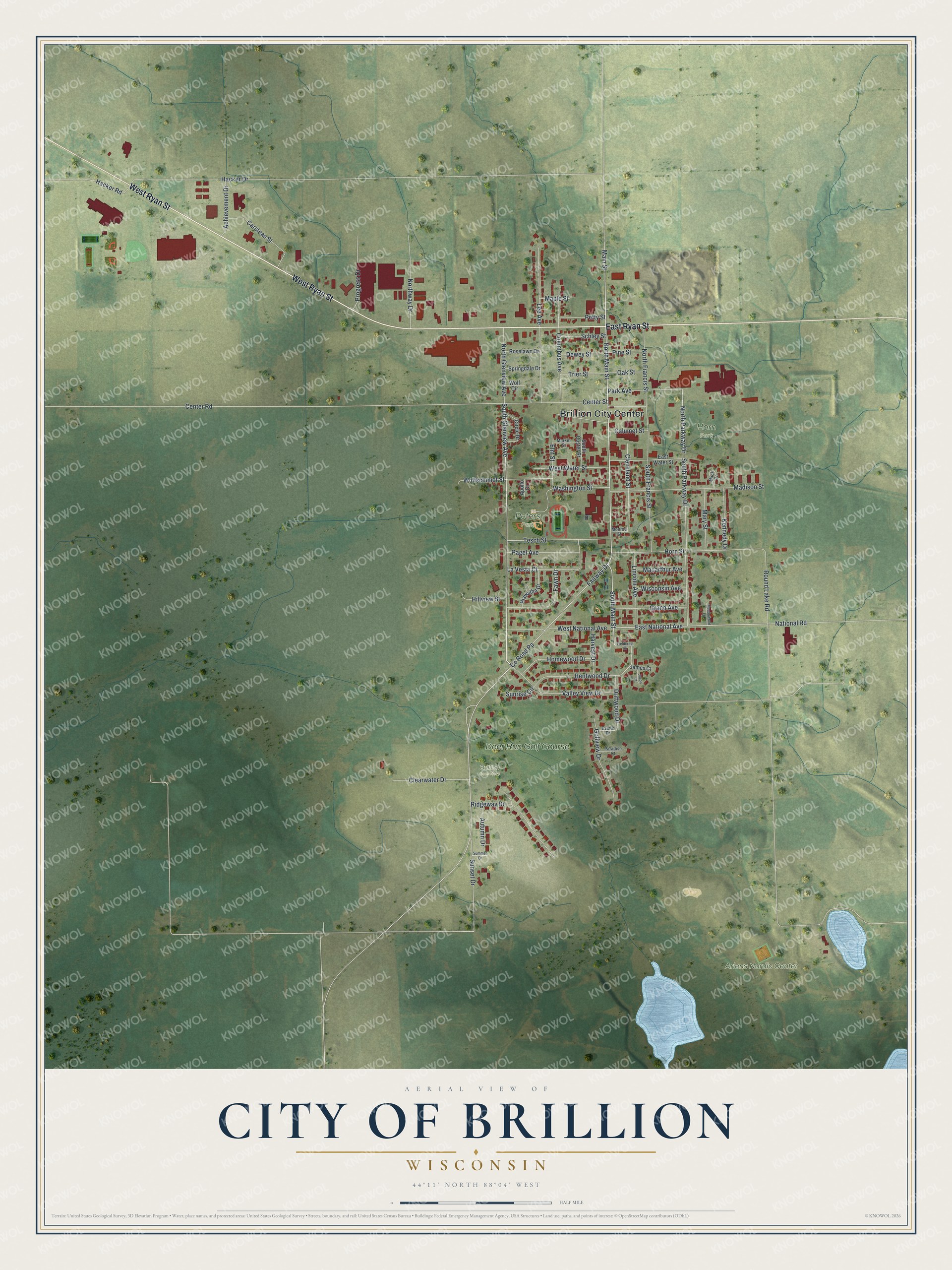
This beautifully detailed map of Brillion, Wisconsin was created in 2026 using aerial imagery combined with modern topographical, census, street and landmark data. It's a modern aerial view of Brillion in Calumet County, Wisconsin, that combines modern data with a vintage aesthetic. The roads feature printed names, and if you look closely you can find your exact house accurately shown in its correct location.
Explore an aerial view of Brillion, Wisconsin
On this map you'll find Brillion City Center, Ariens Nordic Center, Horn Park, Peters Park, Brillion Cemetery, Deer Run Golf Course, West Ryan Street, East Ryan Street, South Glenview Avenue, South Main Street, North Main Street, East National Avenue, and more. Each red shape is a building, so zoom in on the preview and look for yours.
Brillion is a city in Calumet County. The Census Bureau counted 3,262 people here in 2020. The map prints the town name in its title panel, with the coordinates below it.
Take a closer look at the Brillion map
Names on this map
These names are printed on this map.
Places: Brillion City Center, Ariens Nordic Center, Horn Park, Peters Park, Brillion Cemetery and Deer Run Golf Course.
Streets and roads: West Ryan Street, East Ryan Street, South Glenview Avenue, South Main Street, North Main Street, East National Avenue, North Parkway Drive, County Road Pp, Center Road, Fairway Drive, Hacker Drive, Round Lake Road.
More street names, A to Z
Achievement Drive, Apollo Court, Autumn Drive, Bentwood Drive, Calumet Street, Carsteas Street, Center Street, Circle Drive, Clearwater Drive, Cleveland Street, Columbus Avenue, Dewey Street, Driftwood Drive, East Water Street, Elm Street, Estate Drive, Fawn Drive, Fieldcrest Drive, Golfview Drive, Grand Avenue, Hacker Road, Harvest Drive, Hiawatha Drive, Hillview Street, Homewood Drive, Horn Street, James Court, Jason Court, Kennedy Drive, La Vesta Court, Lee Avenue, Lincoln Avenue, Macarthur Avenue, Mack Court, Madison Street, Main Street, Maple Street, Market Street, Mary Street, Meadowood Lane, Monroe Street, National Road, North Francis Street, North Glenview Avenue, Northway Drive, Oak Street, Pagel Avenue, Paradise Court, Park Avenue, Petty Street, Pine Street, Progress Drive, Ridgeway Drive, Roselawn Drive, Schley Street, South Custer Street, South Francis Street, South Parkway Drive, Springdale Drive, Summer Drive, Sunrise Circle, Sunset Drive, Tesch Street, Trier Street, Valley View Drive, Washington Street, West National Avenue, West Water Street, Wisconsin Avenue, Wolf Circle, Wolfschmidt Street.
Created by KNOWOL in 2026. The buildings are small red shapes, the roads carry their printed names, and shaded relief shows the shape of the land. The title panel reads "AERIAL VIEW OF CITY OF BRILLION WISCONSIN" with 44°11' NORTH 88°04' WEST.
Hang it in the hallway, the office or the cabin, or give it to someone who left Brillion and still calls it home. Open the preview and look for a street you know. See sizes and frames for the Brillion map.