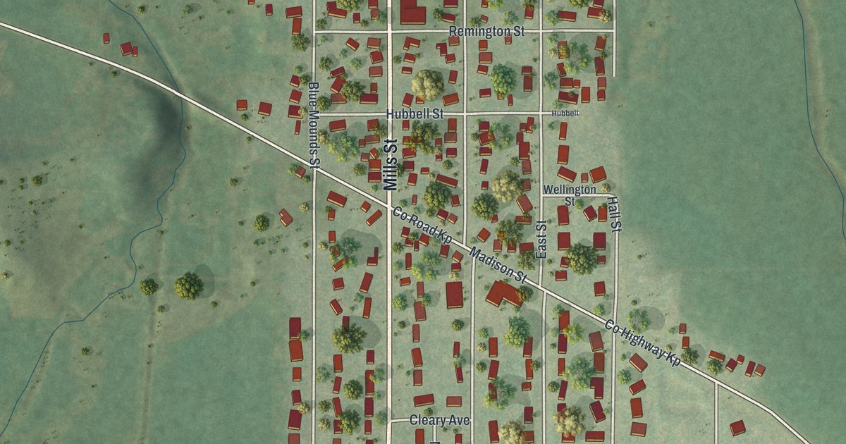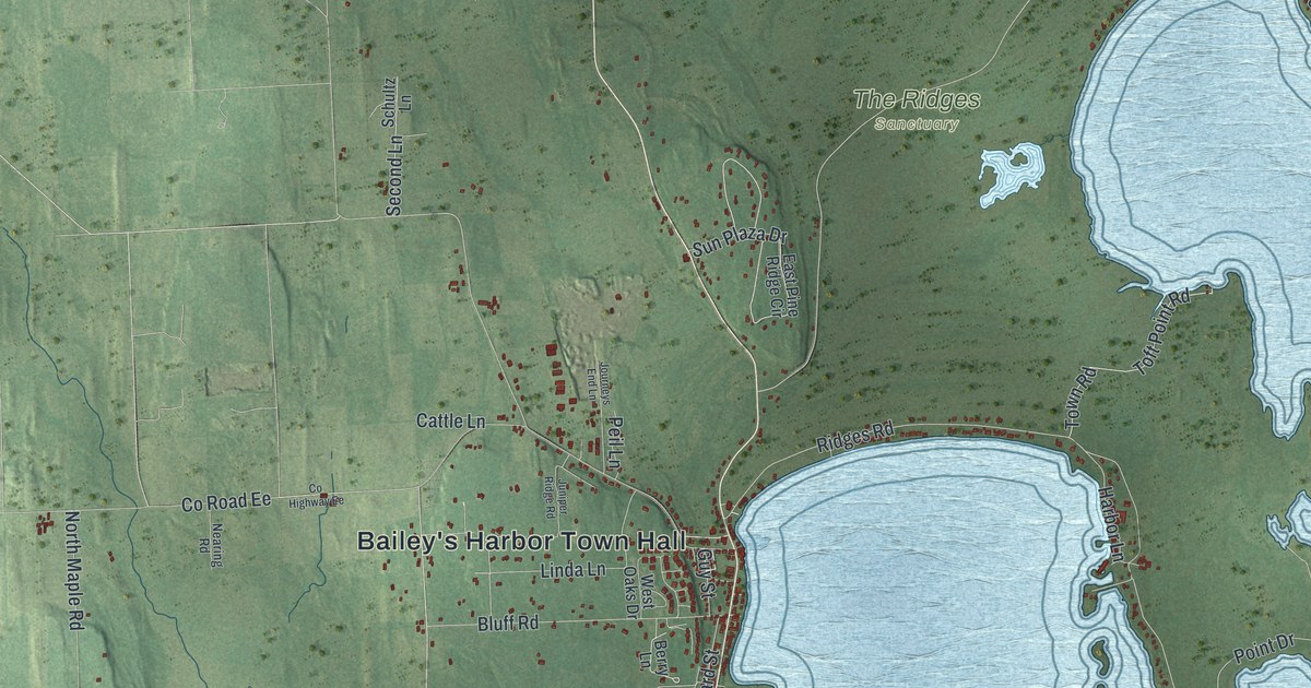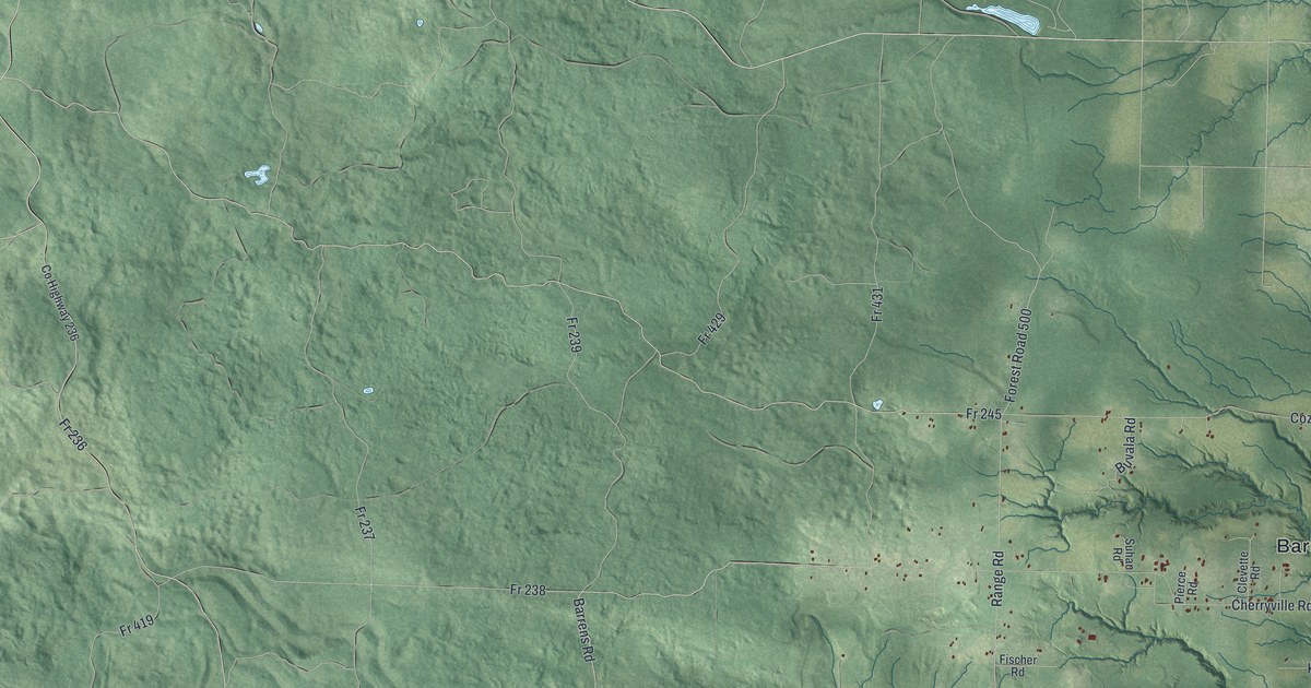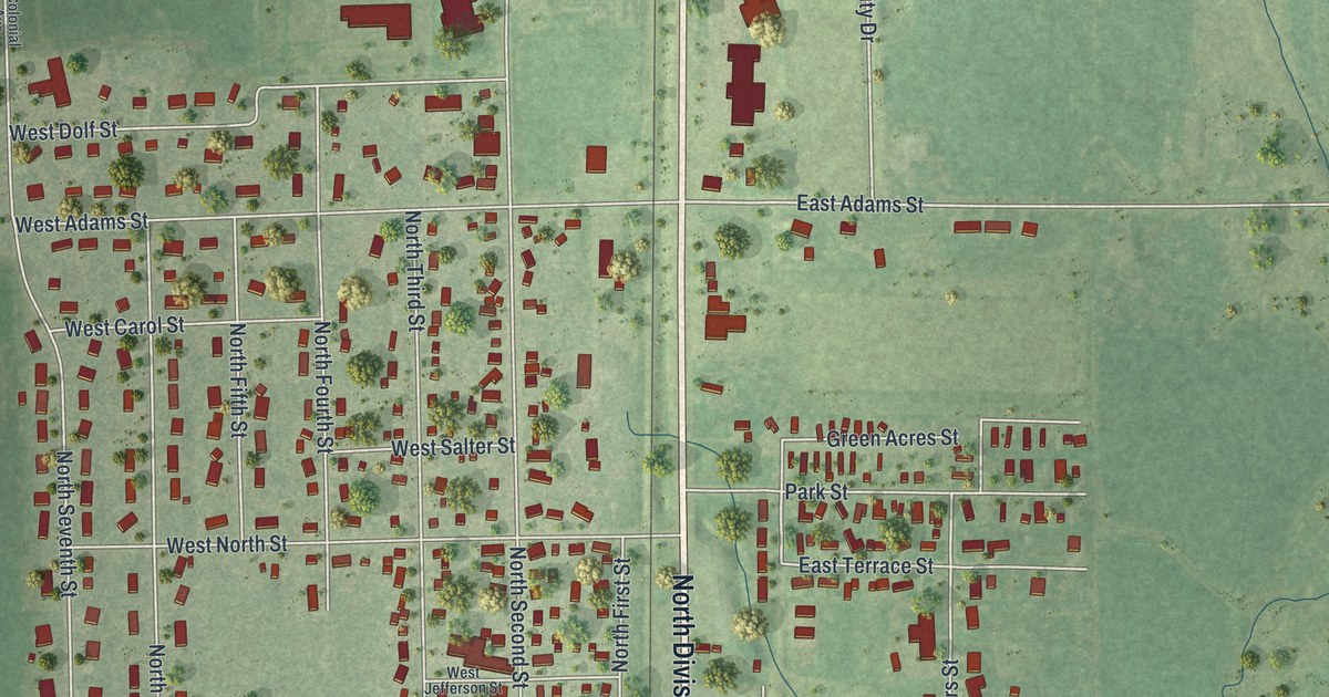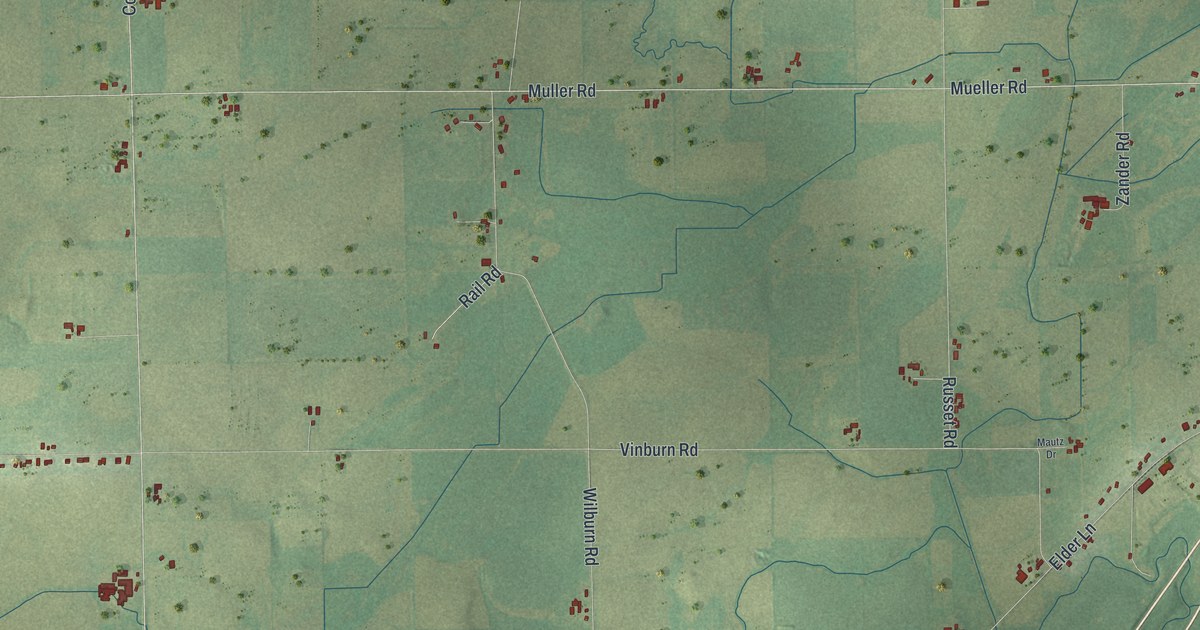
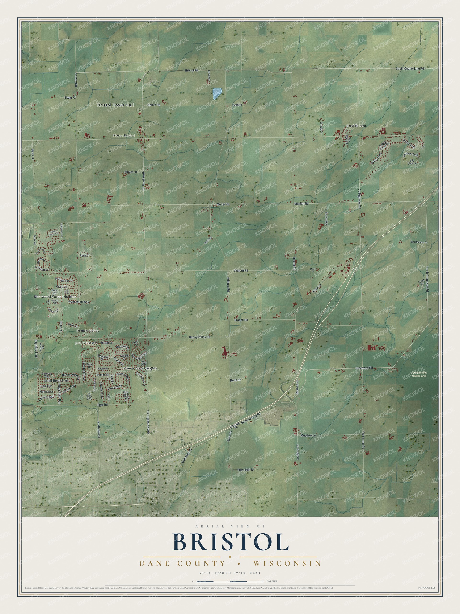
This beautifully detailed map of Bristol, Wisconsin was created in 2026 using aerial imagery combined with modern topographical, census, street and landmark data. It's a modern aerial view of Bristol in Dane County, Wisconsin, that combines modern data with a vintage aesthetic. The roads feature printed names, and if you look closely you can find your exact house accurately shown in its correct location.
Explore an aerial view of Bristol, Wisconsin
On this map you'll find Bristol Town Hall, Sherwood Forest Heights, East Bristol, Pebble Valley, North Bristol, Hilton Estates, Deansville Wildlife Area, Prairie View Heights, Greenway Road, North Greenway Road, Stone Quarry Road, Bristol Road, and more. Each red shape is a building, so zoom in on the preview and look for yours.
Bristol is a town in Dane County. The Census Bureau counted 4,447 people here in 2020. The map prints the town name in its title panel, with the coordinates below it.
Take a closer look at the Bristol map
Names on this map
These names are printed on this map.
Places: Bristol Town Hall, Sherwood Forest Heights, East Bristol, Pebble Valley, North Bristol, Hilton Estates, Deansville Wildlife Area and Prairie View Heights.
Streets and roads: Greenway Road, North Greenway Road, Stone Quarry Road, Bristol Road, County Highway North, South County Line Road, Meadow Lane, Parkway Drive, County Road North, Muller Road, County Highway Vv, Mueller Road.
More street names, A to Z
Angelica Trail, Berry Lane, Branch Road, Briar Lane, Brooks Ridge Drive, Brooks Ridge Road, Bruin Road, Bunker View Drive, Castleton Crossing, Cheddar Crst, Clover Lane, Columbus Street, County Road Vv, Craig Lane, Damm Road, Egre Road, Elder Lane, Esker Trail, Fawn Lane, Fern Drive, Fissure Trail, Fran's Drive, Frontage Road, Grove Road, Happy Valley Road, Hawks Haven Trail, Hensen Drive, Hilton Lane, Horseshoe Drive, Karolina Way, Katie Ida Lane, Kiltie Drive, Latigo Trce, Lawrence Road, Leaf Lane, Lily View Lane, Lochside Lane, Longhorn Lane, Lorrabud Lane, Lyman's Run, Mautz Drive, Midnight Sun Drive, Mile Road, Moonlight Circle, North Bird Street, Norway Road, Oslo Lane, Parker Pass, Pearl Court, Pfeil Bend, Prairie View Drive, Rail Road, Renk Road, Reuben Drive, Ridge Point Run, Russet Road, Saddle Brook Trail, Samhill Drive, Scotland Parkway, Seib Drive, Shady Drive, Skaar Road, Sportsmans Drive, Starburst, Starburst Drive, Star Crest Trail, Stein Road, Suffolk Down, Suffolk Down Road, Tartan Trail, Town Hall Drive, Town Road, Twilight Drive, Twin Lane Road, Vale Road, Vanessa Way, Van Ryen Court, Viking Pass, Vinburn Road, Wendt Way, Wilburn Road, Wyndwood Way, Zander Road.
Created by KNOWOL in 2026. The buildings are small red shapes, the roads carry their printed names, and shaded relief shows the shape of the land. The title panel reads "AERIAL VIEW OF BRISTOL DANE COUNTY • WISCONSIN" with 43°16' NORTH 89°13' WEST.
Hang it in the hallway, the office or the cabin, or give it to someone who left Bristol and still calls it home. Open the preview and look for a street you know. See sizes and frames for the Bristol, Dane County map.