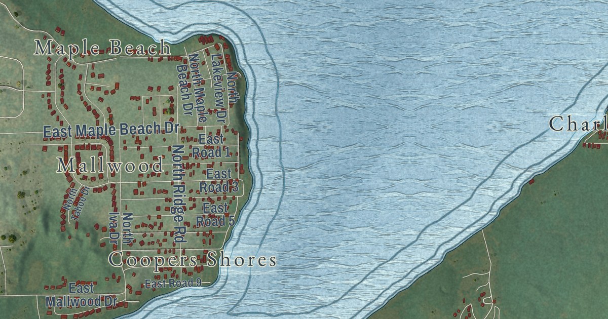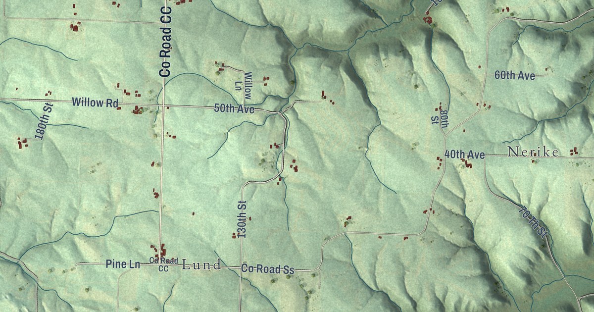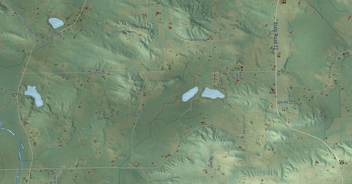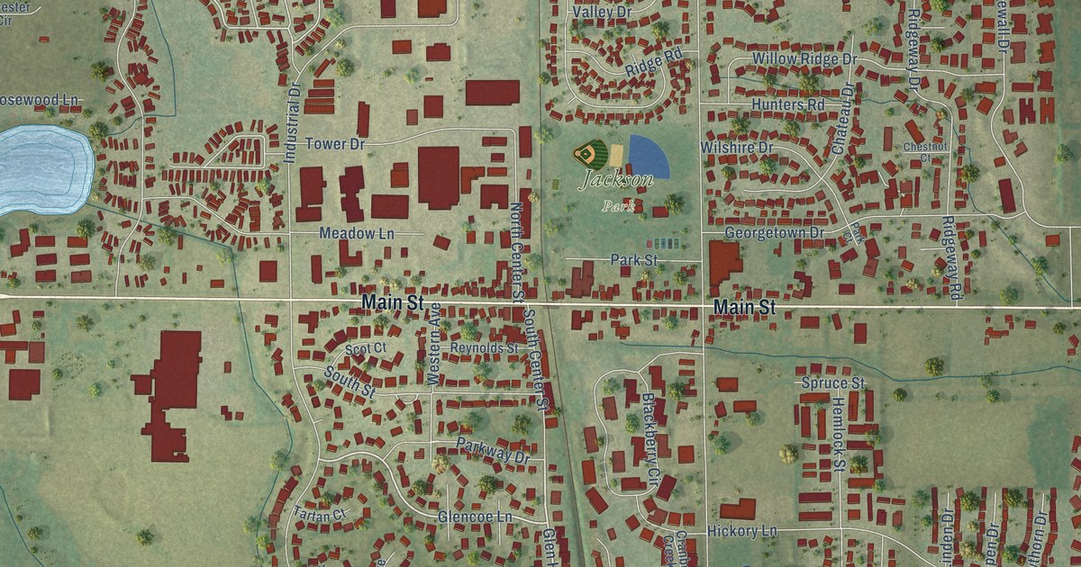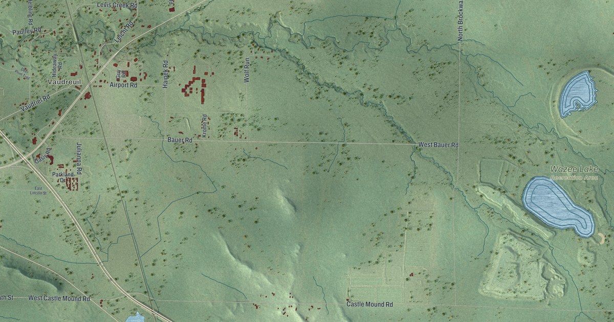
This beautifully detailed map of Brockway, Wisconsin was created in 2026 using aerial imagery combined with modern topographical, census, street and landmark data. It’s a one-of-a-kind view of Brockway that combines accurate data with a vintage aesthetic. The map shows every building in its true location, many of the roads carry their names, and the shaded topographic relief shows the shape of the land.
Explore an aerial view of Brockway, Wisconsin
On the map you’ll find Vaudreuil, Sheppard, Jackson County Forest, and Wazee Lake Recreation Area, along with Gebhardt Road, East Second Street, Old Highway 54, Vaudriel Road, East Seventh Street, West Castle Mound Road, Leicht Road, Castle Mound Road, and more. If you look closely you can even find your house accurately drawn in its correct location. Zoom in on the preview to look for yours.
Did you know this piece of Brockway, Wisconsin history?
Brockway was organized from a portion of Albion in the early 1890s. The town took its name from Eustace L. Brockway. He operated an area sawmill and steamboats. He also served in the Wisconsin legislature in 1872.
Take a closer look at the Brockway map
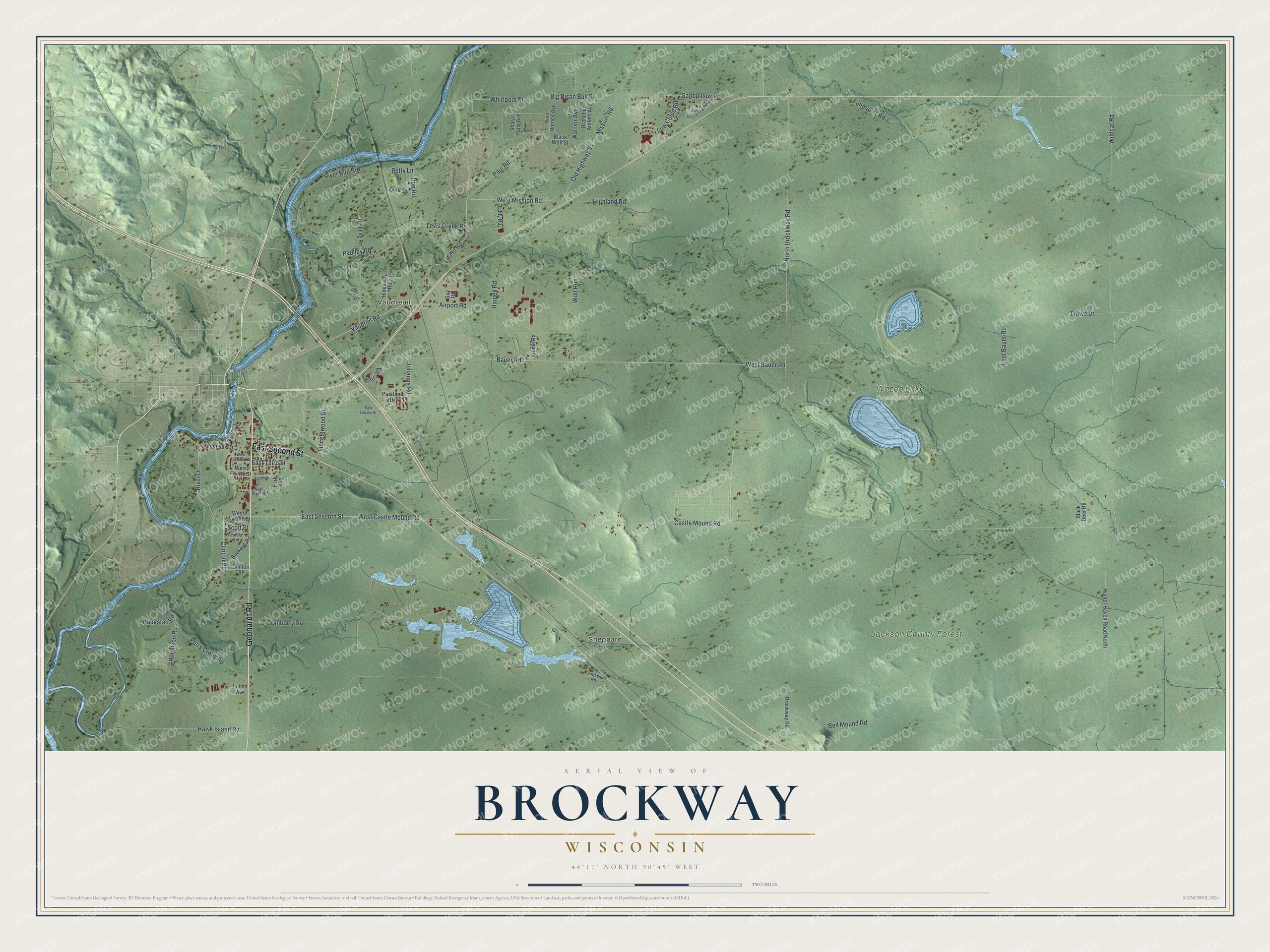
Street and place names on the Brockway, Wisconsin map
These names are printed on the map of Brockway, Wisconsin.
Places: Vaudreuil, Sheppard, Jackson County Forest and Wazee Lake Recreation Area.
Streets and roads: Gebhardt Road, East Second Street, Old Highway 54, Vaudriel Road, East Seventh Street, West Castle Mound Road, Leicht Road, Castle Mound Road, West Bauer Road, Bell Mound Road, West Mission Road, Trowe Drive.
More street names, A to Z
Airport Road, Bauer Road, Betty Lane, Big Bison Bull Street, Black Deer Road, Blackhawk Road, Black Wolf Street, Branched Antlers Avenue, Brockway Road, Buckeye Road, Clinton Road, Clinton Street, Cranberry Drive, Deer Print Trail, East Bauer Road, East Fourth Street, East Lincoln Street, East Sixth Street, East Third Street, Eddy Road, Five Horned Avenue, Funmaker Road, Guy Road, Haipek Road, Haugstad Road, Hawk Island Road, Helbling Road, Hideaway Road, Highland Road, Hunter Haven Road North, Iron Road, James Street, Jane Lane, Julianna Road, Krome Road, Levis Creek Road, Lincolnwood Drive, Low Cloud Road, Lower Falls Drive, Lunda Avenue, Mission Road, North Brockway Road, Oasis Road, Pamela Street, Park Avenue, Parkland Drive, Paulley Road, Paul Road, Perry Creek Road, River Drive, River Run Road, Robinson Road, Sandpillow Road, Scott Street, Sharp Fang Avenue, Taintsville Road, Warrior Avenue, West Fourth Street, West Second Street, West Seventh Street, Whirlpool Street, Wildcat Road, Wolf Run.
See the Brockway, Wisconsin map on a wall
The Brockway map as an 18 x 24 inch print in a black frame.

This beautifully detailed map of Brockway makes an attractive addition to your office, library, or den, and it can even be used to teach children the geography and history of the area. It also makes a great gift for someone who left Brockway and still calls it home. When you’re done exploring, click here to get your copy of the Brockway map.