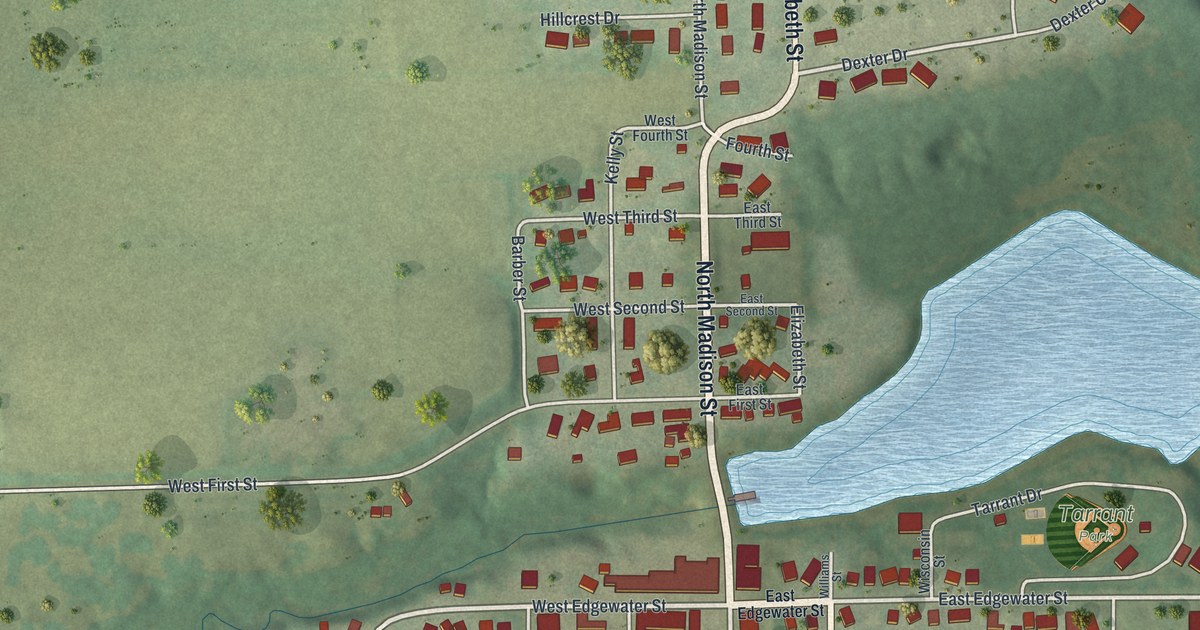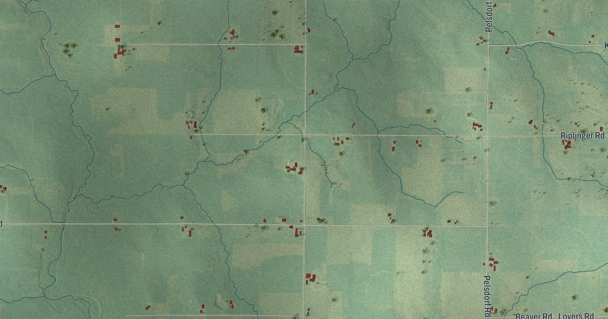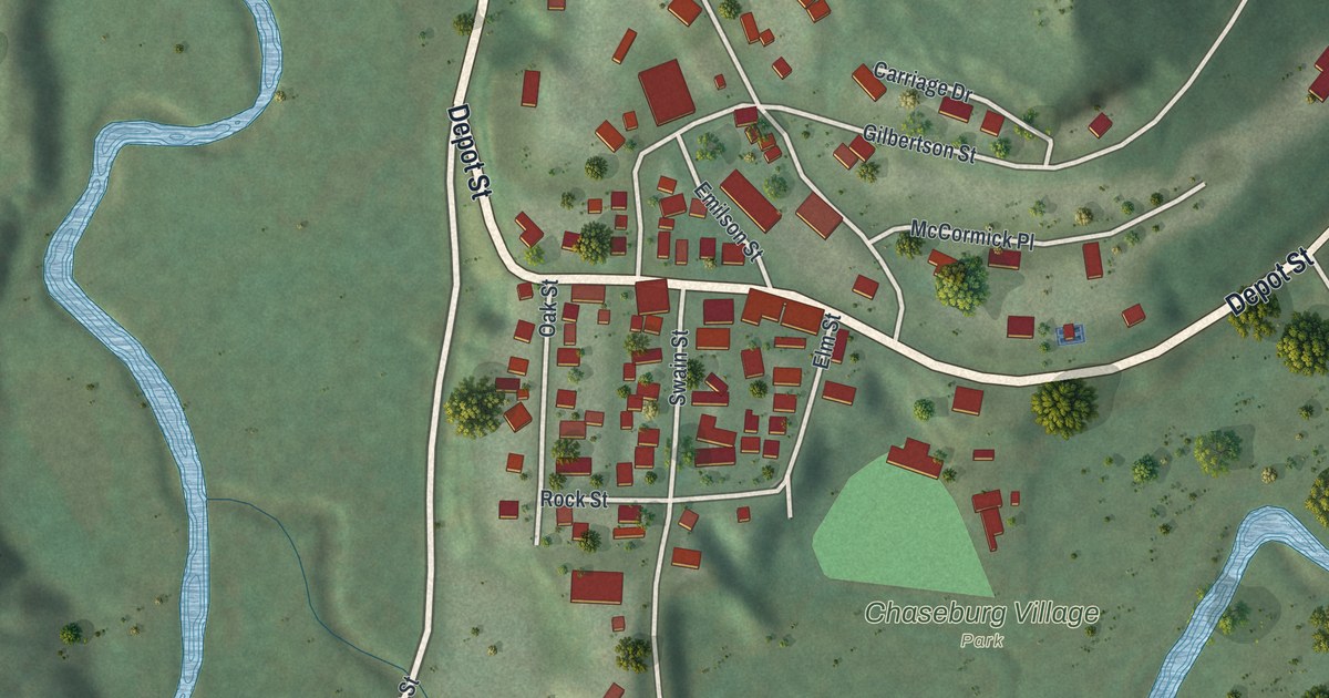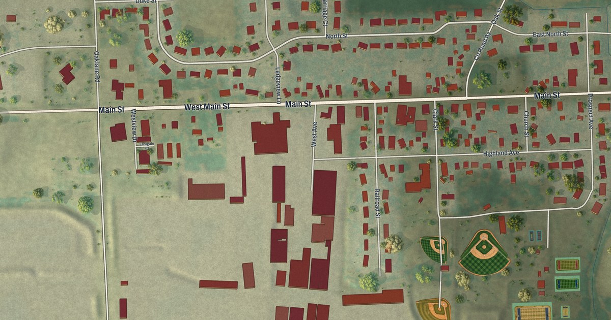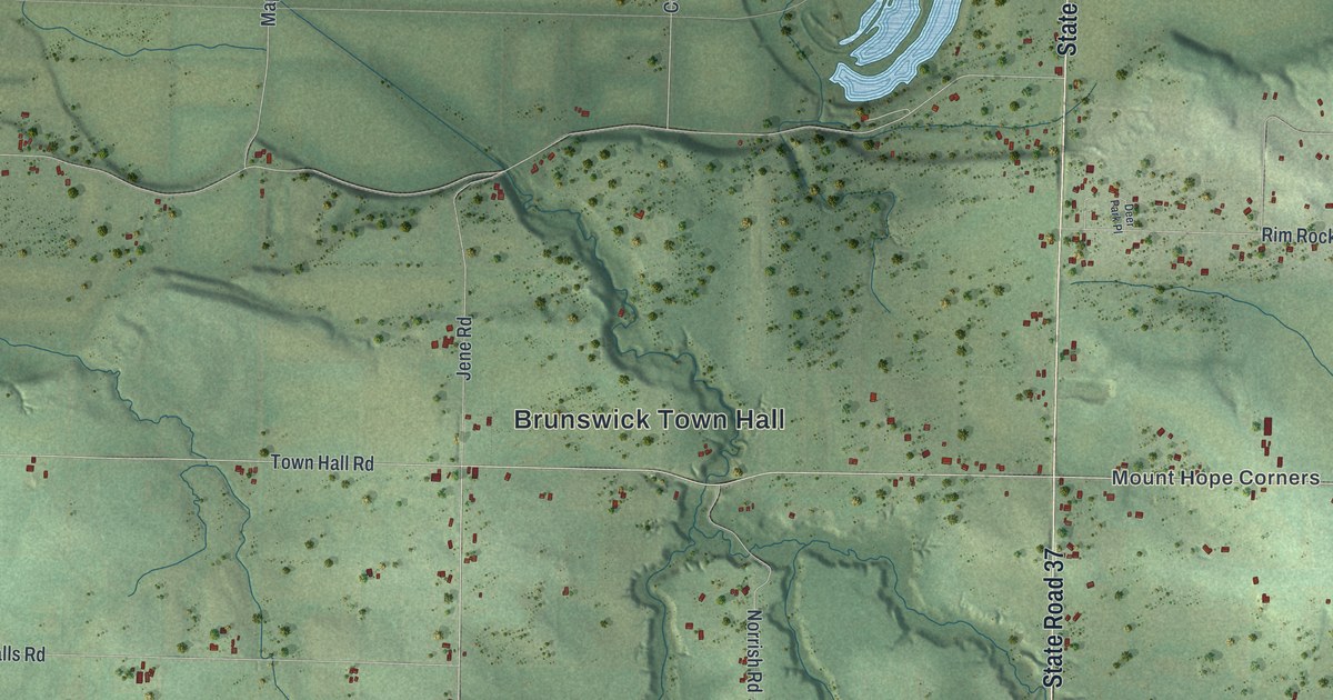
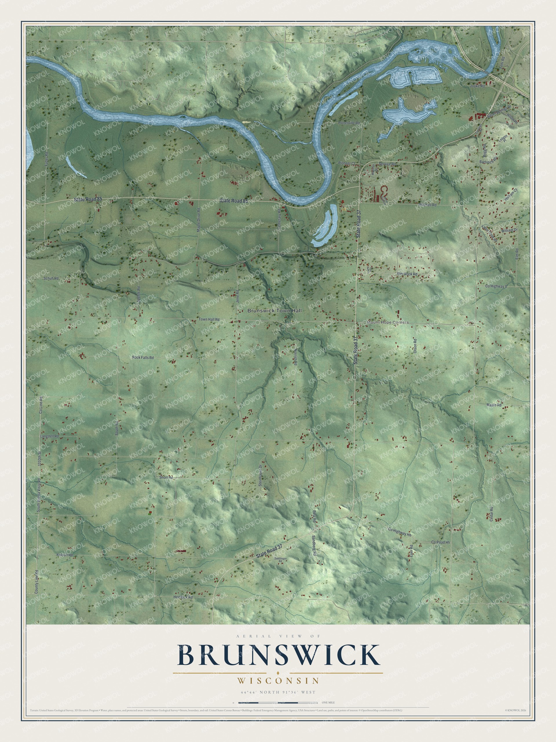
This beautifully detailed map of Brunswick, Wisconsin was created in 2026 using aerial imagery combined with modern topographical, census, street and landmark data. It's a modern aerial view of Brunswick in Eau Claire County, Wisconsin, that combines modern data with a vintage aesthetic. The roads feature printed names, and if you look closely you can find your exact house accurately shown in its correct location.
Explore an aerial view of Brunswick, Wisconsin
On this map you'll find Brunswick Town Hall, Mount Hope Corners, State Road 37, State Road 85, Hemlock Road, 1010th Street, Co Line Road, County Line Road, South Buena Vista Road, Co Road Hh, Mitchell Road, Elm Road, and more. Each red shape is a building, so zoom in on the preview and look for yours.
Every town has a first chapter, and Brunswick is no exception. The Historical Marker Database puts it this way: "Dominating the vicinity, the Silver Mine Ski Jump is 351 feet above the Chippewa River and is considered one of the largest ski jumps in the country."
Brunswick is a town in Eau Claire County. The Census Bureau counted 1,958 people here in 2020.
Take a closer look at the Brunswick map
Names on this map
These names are printed on this map.
Places: Brunswick Town Hall and Mount Hope Corners.
Streets and roads: State Road 37, State Road 85, Hemlock Road, 1010th Street, County Line Road, South Buena Vista Road, County Road Hh, Mitchell Road, Elm Road, Town Hall Road, Fehr Road, Langdell Road.
More street names, A to Z
Bartusch Road, Betz Road, Cedar Road, Cemetary Road, Comings Road, County Highway Hh, County Highway II, Damar Private Drive, Deer Park Place, Fuller Road, Guettinger Road, Holum Road, Jene Road, Jopke Road, Karissa Drive, Ledges Place, Luer Road, Maple Drive Road, Maple Road, Nelson Road, Norrish Road, Olson Road, Pioneer Court, Porterville Road, Rim Rock Road, Rock Falls Road, Rygg Road, Sandberg Road, Schuh Road, Service Road, Short Road, Silver Springs Drive, South Road, Spehle Road, Steinhauer Drive, Taylor Creek Road, William Court, William Drive.
Created by KNOWOL in 2026. The buildings are small red shapes, the roads carry their printed names, and shaded relief shows the shape of the land. The title panel reads "AERIAL VIEW OF BRUNSWICK WISCONSIN" with 44°44' NORTH 91°36' WEST.
Hang it in the hallway, the office or the cabin, or give it to someone who left Brunswick and still calls it home. Open the preview and look for a street you know. See sizes and frames for the Brunswick map.