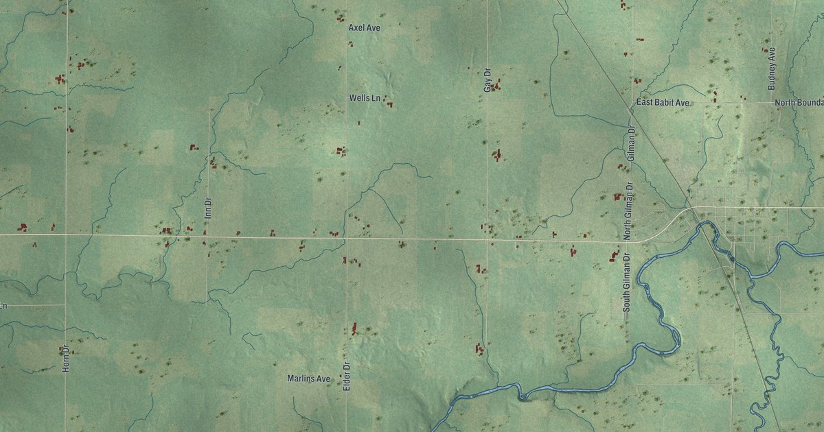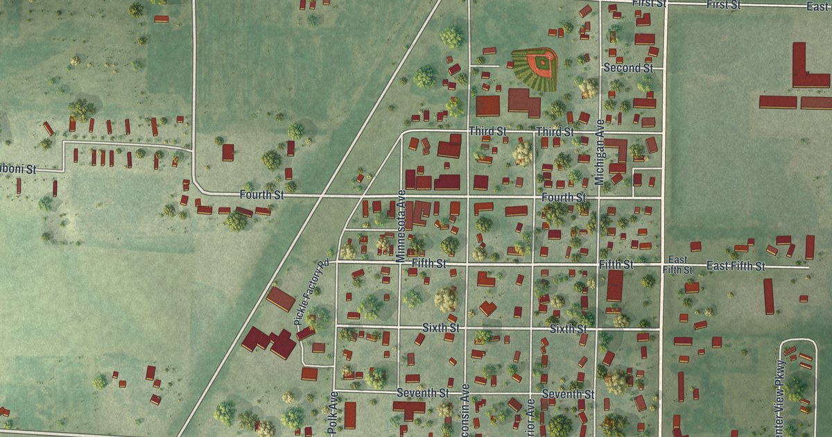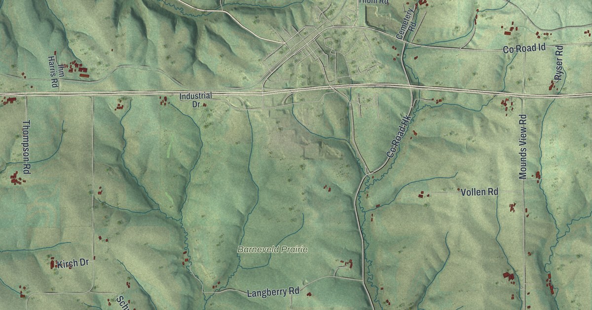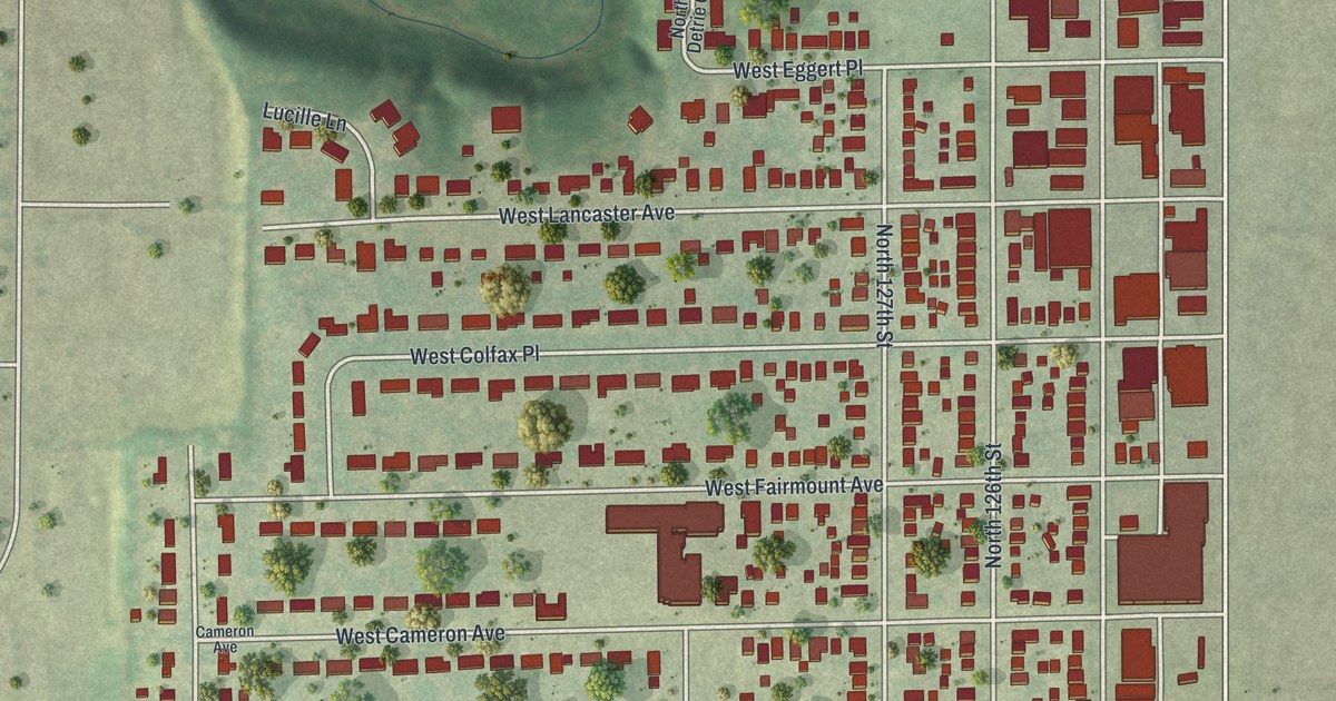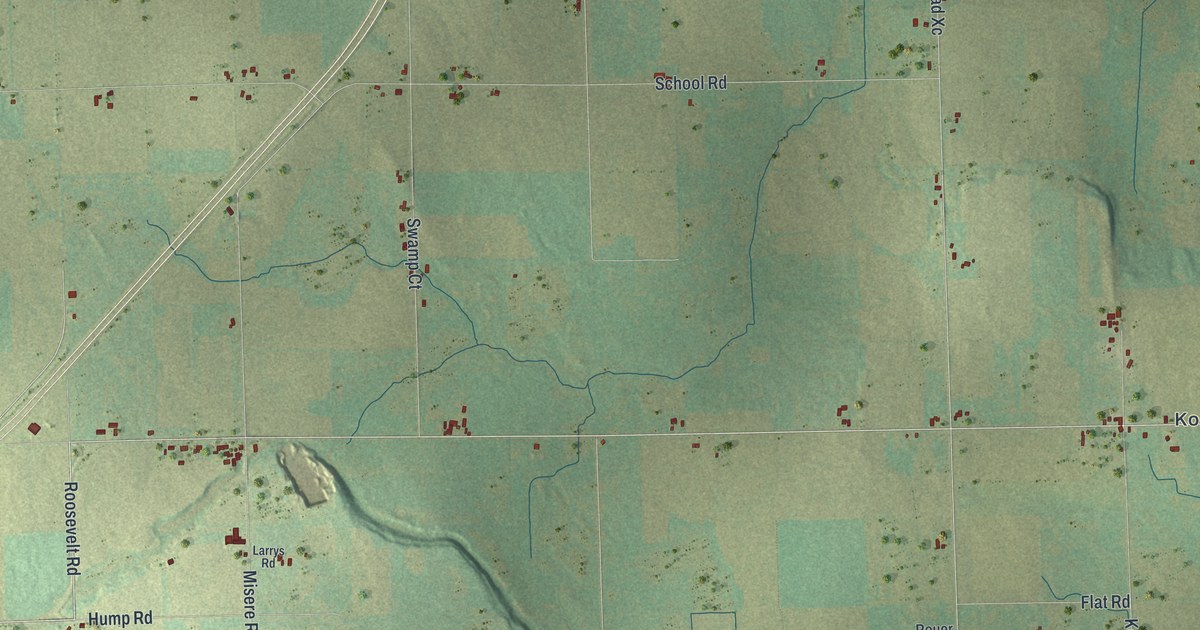
This beautifully detailed map of Brussels, Wisconsin was created in 2026 using aerial imagery combined with modern topographical, census, street and landmark data. It's a modern aerial view of Brussels in Door County, Wisconsin, that combines modern data with a vintage aesthetic. The roads feature printed names, and if you look closely you can find your exact house accurately shown in its correct location.
Explore an aerial view of Brussels, Wisconsin
On this map you'll find Kolberg, Rosiere, Cemetery Road, Co Road Xc, Co Road Dk, Misere Road, Brussels Road, School Road, South Stevenson Pier Road, Rabbit Road, Dump Road, Kolberg Road, and more. Each red shape is a building, so zoom in on the preview and look for yours.
Every town has a first chapter, and Brussels is no exception. The Door County History puts it this way: "The town records show, however, that Brussels was not organized until 1859; the election being held at the store of Michael Smith, Sugar Creek."
Brussels is a town in Door County. The Census Bureau counted 1,125 people here in 2020.
Take a closer look at the Brussels map

Names on this map
These names are printed on this map.
Places: Kolberg and Rosiere.
Streets and roads: Cemetery Road, County Road Xc, County Road Dk, Misere Road, Brussels Road, School Road, South Stevenson Pier Road, Rabbit Road, Dump Road, Kolberg Road, Low Road, Marsh Road.
More street names, A to Z
Anschutz Road, Boulder Road, Cedar Lane, Crook Road, Crow Road, Curve Road, Dead End Road, Elm Road, Flat Road, Gardner Road, High Road, Hump Road, Junction Road, Lark Road, Larrys Road, Lynchs Bluff Road, Mathey Road, Morning View Road, Morris Lane, Nell Road, Norms Road, North Town Hall Road, Old Brussels Road, Orchard View Lane, Pagel Road, Pine Road, Plainview Road, Renier Road, Roosevelt Road, Rouer Road, Sams Road, Sawmill Road, School Drive, Side Road, Slow Road, Snow Road, South Hall Road, South Town Hall Road, Star Road, Star Road East, Star Road West, Swamp Court, Swamp Road, Swamp Road East, Tee Off Lane, Tornado Road, Ullman Court.
Created by KNOWOL in 2026. The buildings are small red shapes, the roads carry their printed names, and shaded relief shows the shape of the land. The title panel reads "AERIAL VIEW OF BRUSSELS WISCONSIN" with 44°43' NORTH 87°35' WEST.
Hang it in the hallway, the office or the cabin, or give it to someone who left Brussels and still calls it home. Open the preview and look for a street you know. See sizes and frames for the Brussels map.