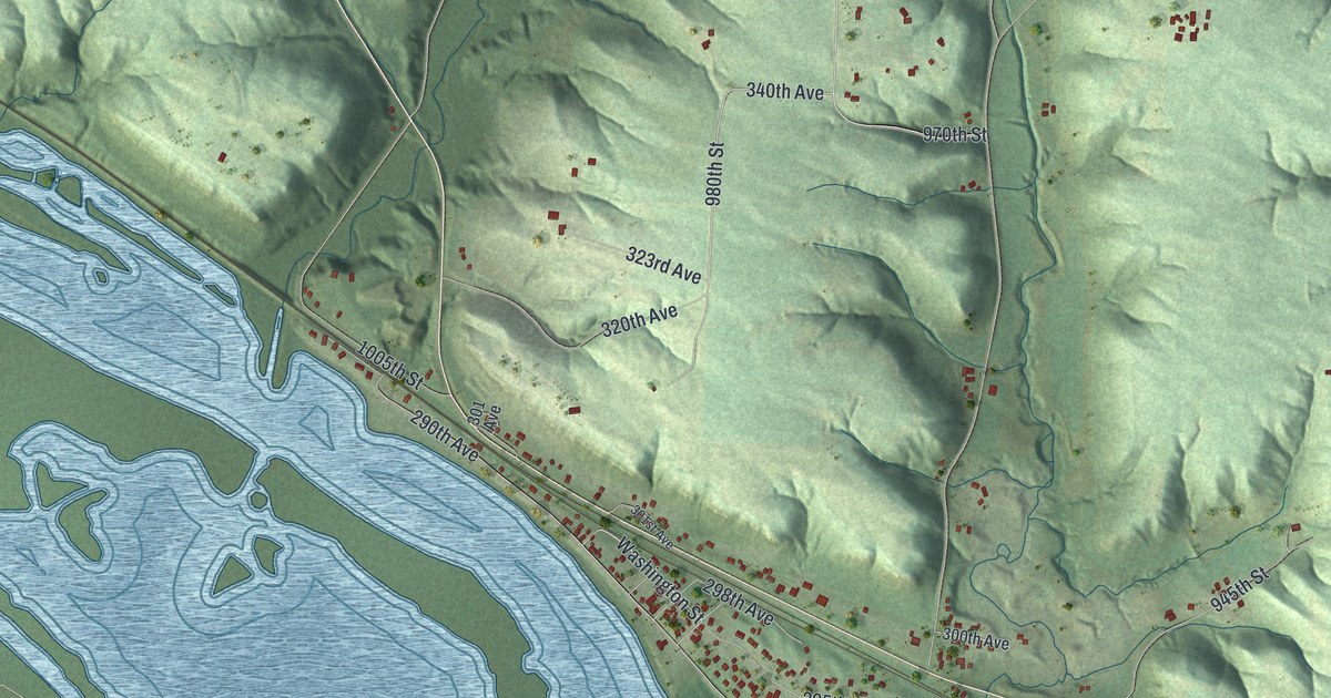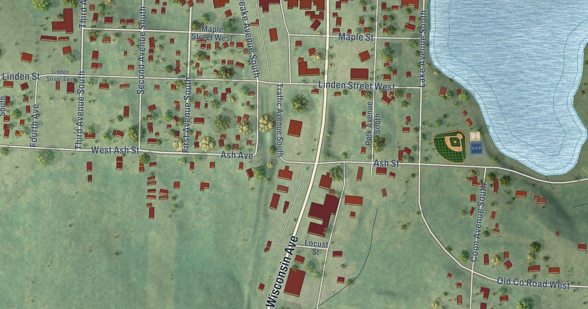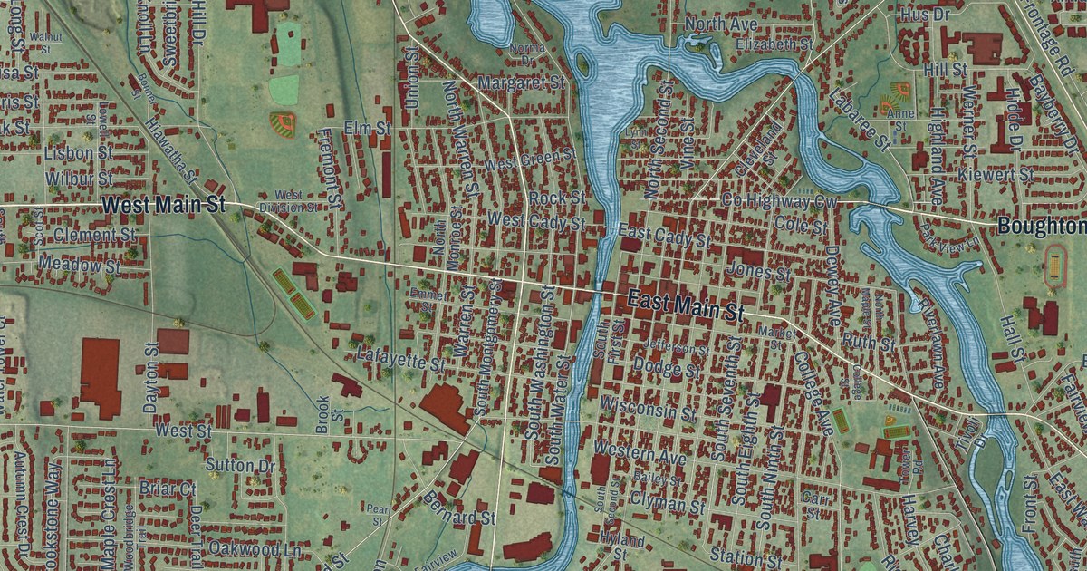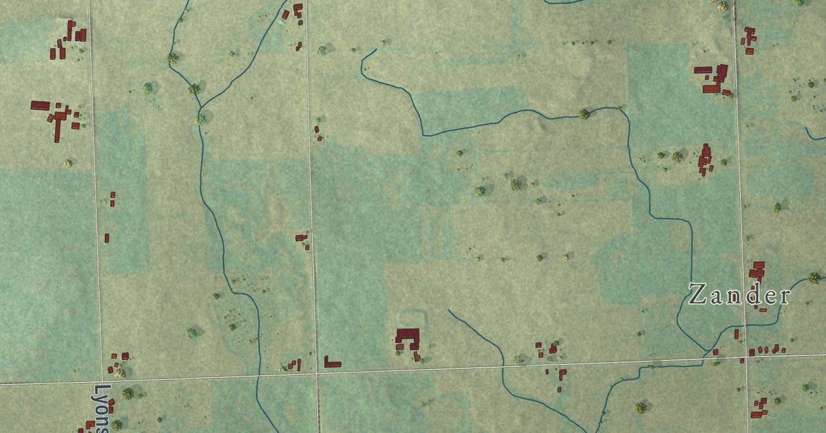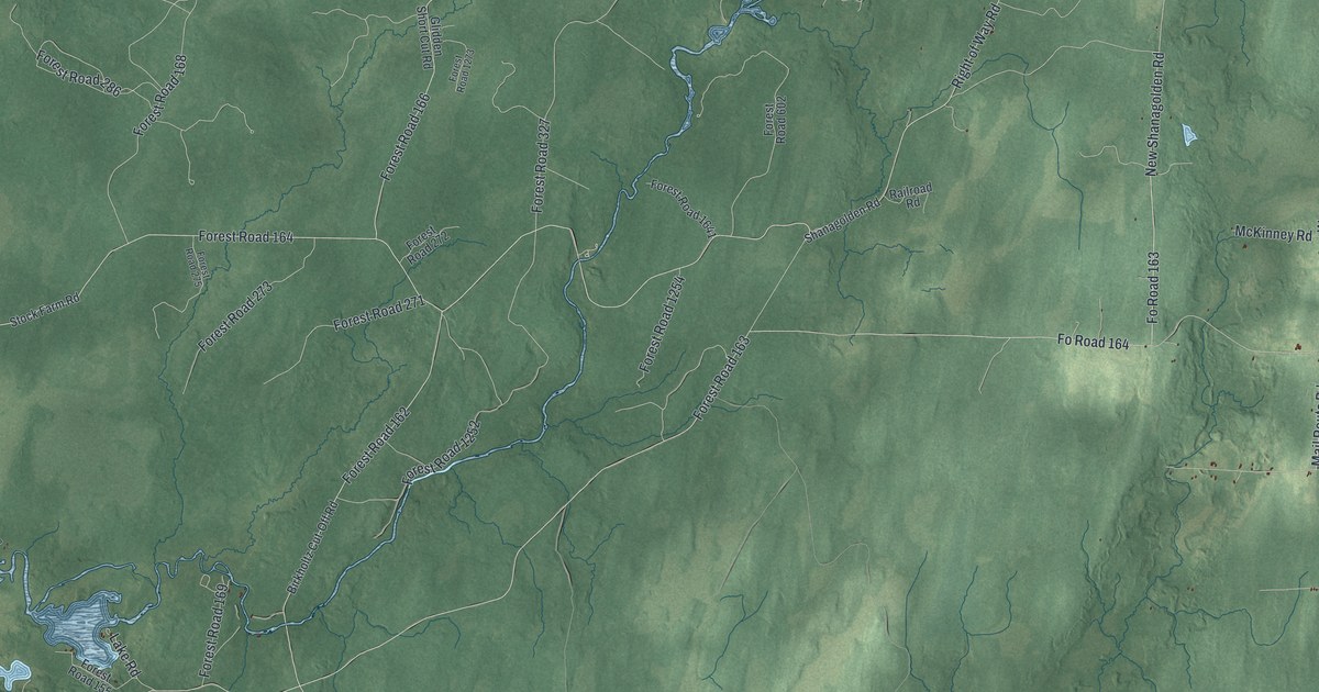
This beautifully detailed map of Chippewa, Wisconsin was created in 2026 using aerial imagery combined with modern topographical, census, street and landmark data. It’s a one-of-a-kind view of Chippewa that combines accurate data with a vintage aesthetic. The map shows every building in its true location, many of the roads carry their names, and the shaded topographic relief shows the shape of the land.
Explore an aerial view of Chippewa, Wisconsin
On the map you’ll find Chippewa Townhall and Forest Road 173, along with North Road, North Park Road, Old North Road, Lewis Road, Zillinger Road, West Old 13 Road, Old 13 Road, North Black Lake Road, Ketterl Road, County Line Road, and more. If you look closely you can even find your house accurately drawn in its correct location. Zoom in on the preview to look for yours.
Take a closer look at the Chippewa map
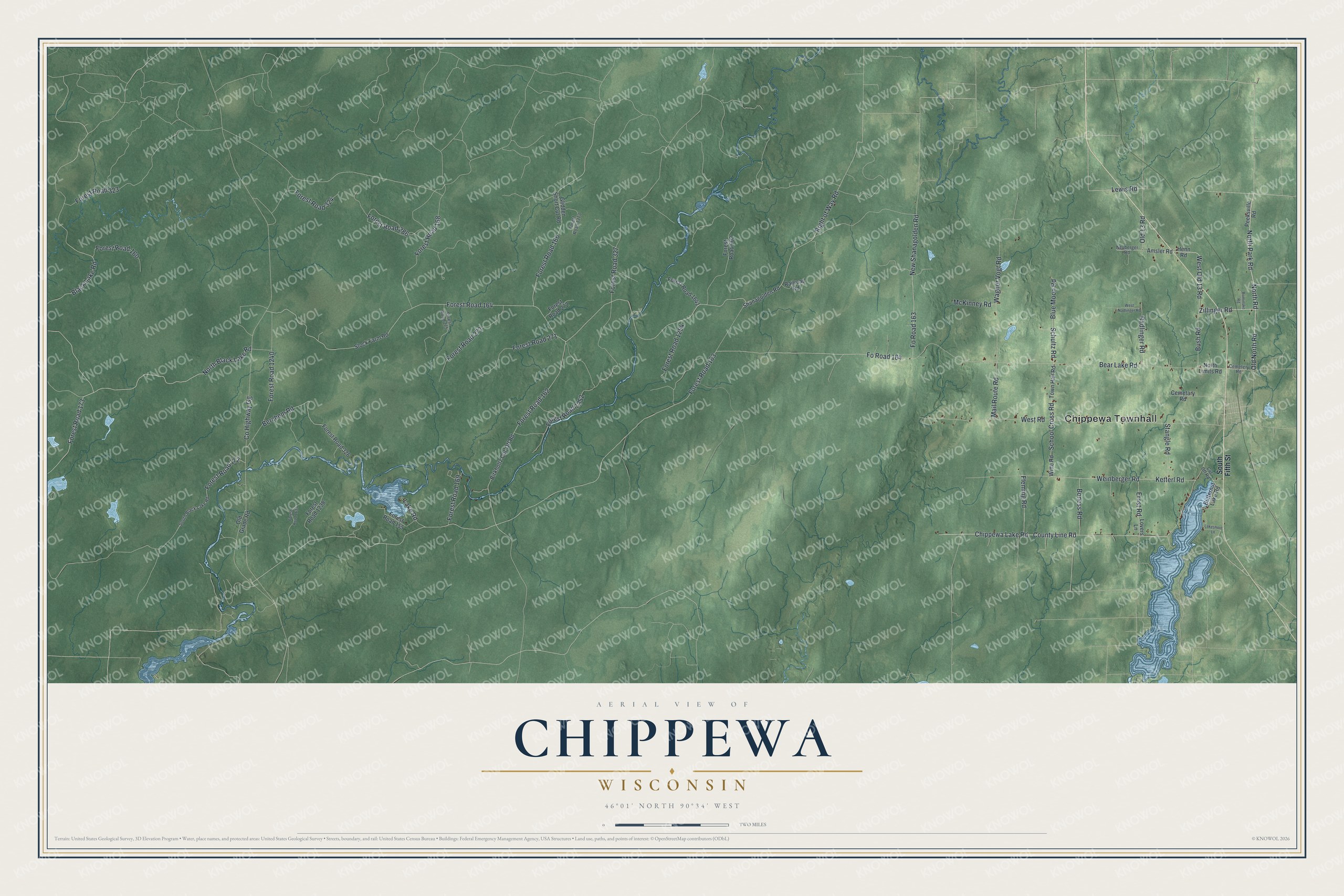
Street and place names on the Chippewa, Wisconsin map
These names are printed on the map of Chippewa, Wisconsin.
Places: Chippewa Townhall.
Streets and roads: North Road, North Park Road, Old North Road, Lewis Road, Zillinger Road, West Old 13 Road, Old 13 Road, North Black Lake Road, Forest Road 173, Ketterl Road, County Line Road, Schultz Road.
More street names, A to Z
Amsler Road, Bear Lake Road, Berchem Road, Birkholtz Cut-Off Road, Black Lake Road, Blue Moon Road, Boness Road, Bush Road, Butternut Lake Road, Cemetary Road, Cemetery Road, Chippewa Lake Road, County Highway Gg, Cut Off Road, Ernst Road, Fleming Road, Forest Road 155, Forest Road 160, Forest Road 162, Forest Road 163, Forest Road 164, Forest Road 166, Forest Road 168, Forest Road 169, Forest Road 172, Forest Road 271, Forest Road 272, Forest Road 273, Forest Road 275, Forest Road 286, Forest Road 323, Forest Road 324, Forest Road 326, Forest Road 327, Forest Road 602, Forest Road 1238, Forest Road 1240, Forest Road 1252, Forest Road 1254, Forest Road 1273, Forest Road 1633, Forest Road 1641, Fo Road 163, Fo Road 164, Glidden Short Cut Road, Henn Road, Lake Road, Lakeshore Lane, Lovers Lane, Mail Route Road, McKinney Road, Neuberger Road, New Shanagolden Road, North Limits Road, Old Grade Road, Peeksville Road, Radlinger Road, Railroad Road, Right of Way Road, Rominske Road, School Cross Road, Shanagolden Road, South Black Lake Road, South Fifth Street, Stangle Road, Stock Farm Road, Town Hall Road, Wagner Vogt Road, Weinberger Road, West Nadlinger Road, West Road, Witte Road.
See the Chippewa, Wisconsin map on a wall
The Chippewa map as an 18 x 24 inch print in a black frame.

This beautifully detailed map of Chippewa makes an attractive addition to your office, library, or den, and it can even be used to teach children the geography and history of the area. It also makes a great gift for anyone with Chippewa roots. When you’re done exploring, click here to get your copy of the Chippewa map.