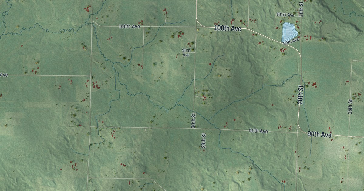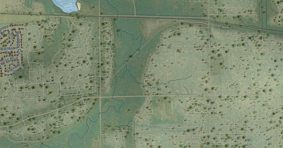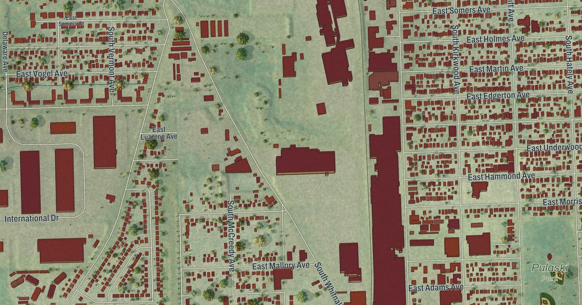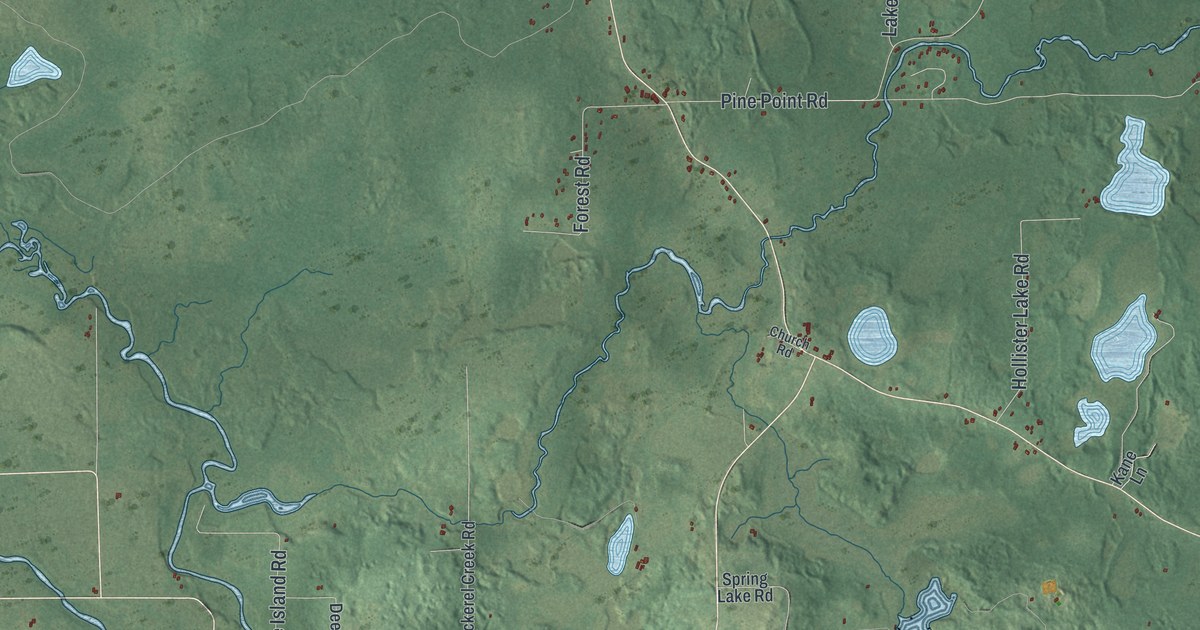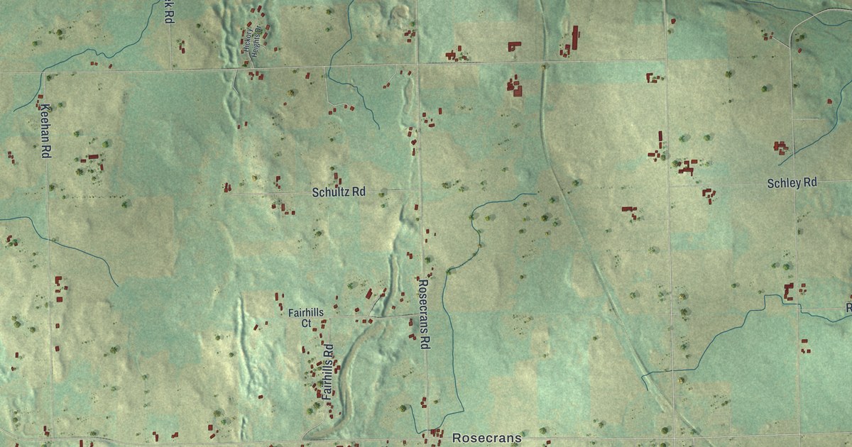
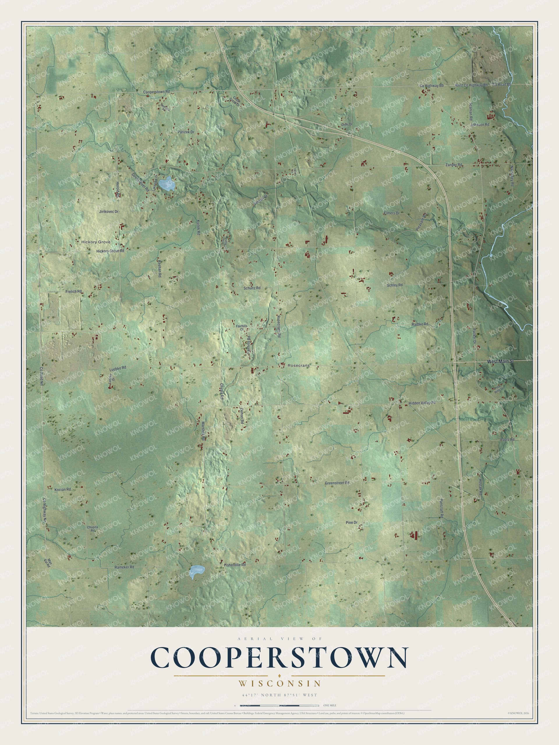
This beautifully detailed map of Cooperstown, Wisconsin was created in 2026 using aerial imagery combined with modern topographical, census, street and landmark data. It's a modern aerial view of Cooperstown in Manitowoc County, Wisconsin, that combines modern data with a vintage aesthetic. The roads feature printed names, and if you look closely you can find your exact house accurately shown in its correct location.
Explore an aerial view of Cooperstown, Wisconsin
On this map you'll find Hickory Grove, Rosecrans, West Main Street, Co Highway Nn, Co Road Nn, Cooperstown Road, Packer Drive, Rameker Road, Co Road Bb, West Co Highway Bb, Zander Road, Rosecrans Road, and more. Each red shape is a building, so zoom in on the preview and look for yours.
Every town has a first chapter, and Cooperstown is no exception. The Historical Marker Database puts it this way: "By 1907, Wisconsin, 13th largest state, produced nearly half the cheese and a tenth of the butter in the nation."
Cooperstown is a town in Manitowoc County. The Census Bureau counted 1,300 people here in 2020.
Take a closer look at the Cooperstown map
Names on this map
These names are printed on this map.
Places: Hickory Grove and Rosecrans.
Streets and roads: West Main Street, County Highway Nn, County Road Nn, Cooperstown Road, Packer Drive, Rameker Road, County Road Bb, West County Highway Bb, Zander Road, Rosecrans Road, Pleasant Road, Hidden Valley Road.
More street names, A to Z
Carol Lane, Cedar Creek Drive, Chupita Road, Chvala Road, County Highway Bb, Deerfield Road, Devils River Road, Elmers Drive, Fairhills Court, Fairhills Road, Fisherville Road, Frelich Road, Greenstreet Road, Grets Drive, Herold Road, Hickory Grove Road, Hickory Heights Drive, Hostak Road, Jensen Drive, Jirikovec Drive, Johnson Road, Keehan Road, Kocian Road, Kvitek Road, Lakeview Drive, Luebke Drive, Luebke Road, Man Cal Road, Marshek Road, Nachtwey Road, Pantzlaff Road, Parizek Drive, Pautz Road, Pine Drive, Pine Hills Drive, Radtke Road, Scanlan Road, Schley Road, Schultz Road, Zeman Road.
Created by KNOWOL in 2026. The buildings are small red shapes, the roads carry their printed names, and shaded relief shows the shape of the land. The title panel reads "AERIAL VIEW OF COOPERSTOWN, WISCONSIN" with 44°17' NORTH 87°51' WEST.
Hang it in the hallway, the office or the cabin, or give it to someone who left Cooperstown and still calls it home. Open the preview and look for a street you know. See sizes and frames for the Cooperstown map.