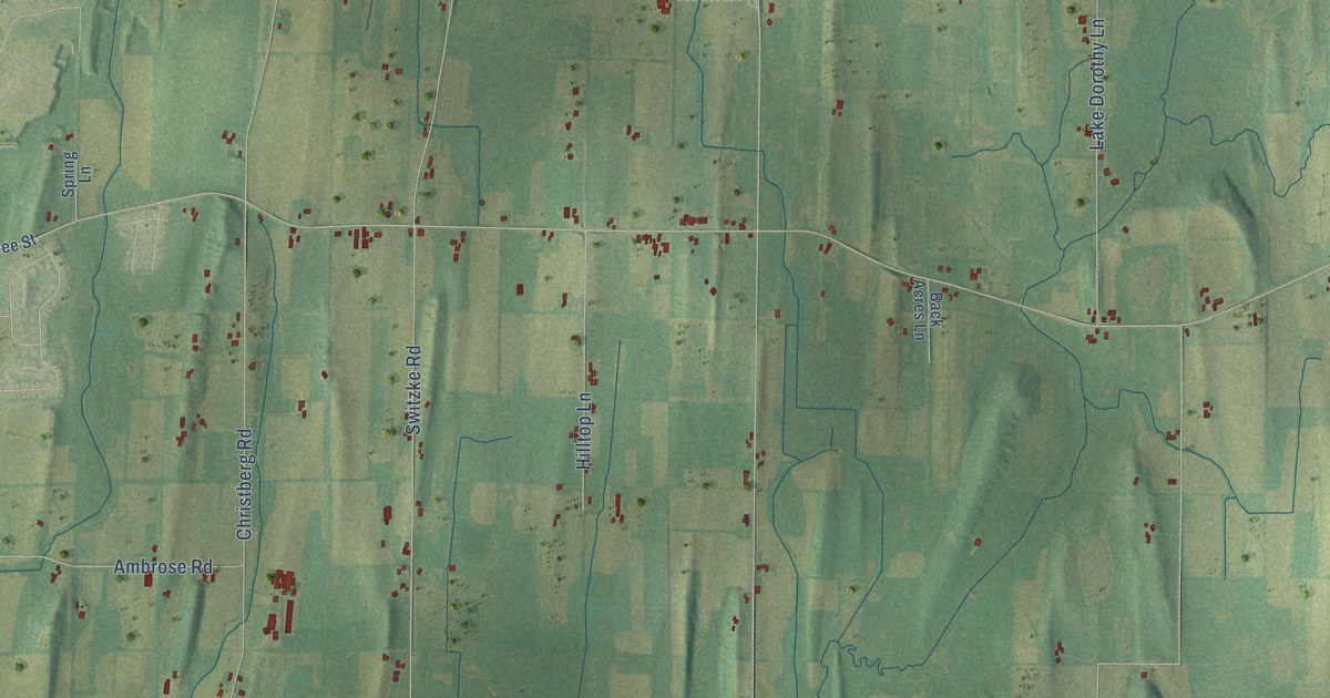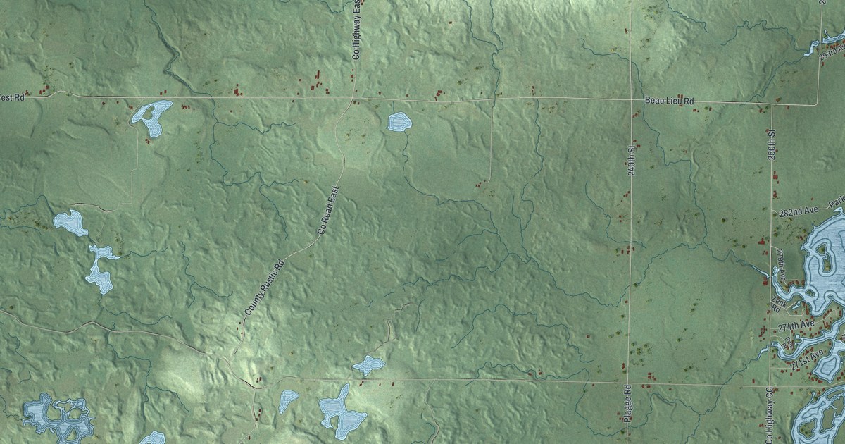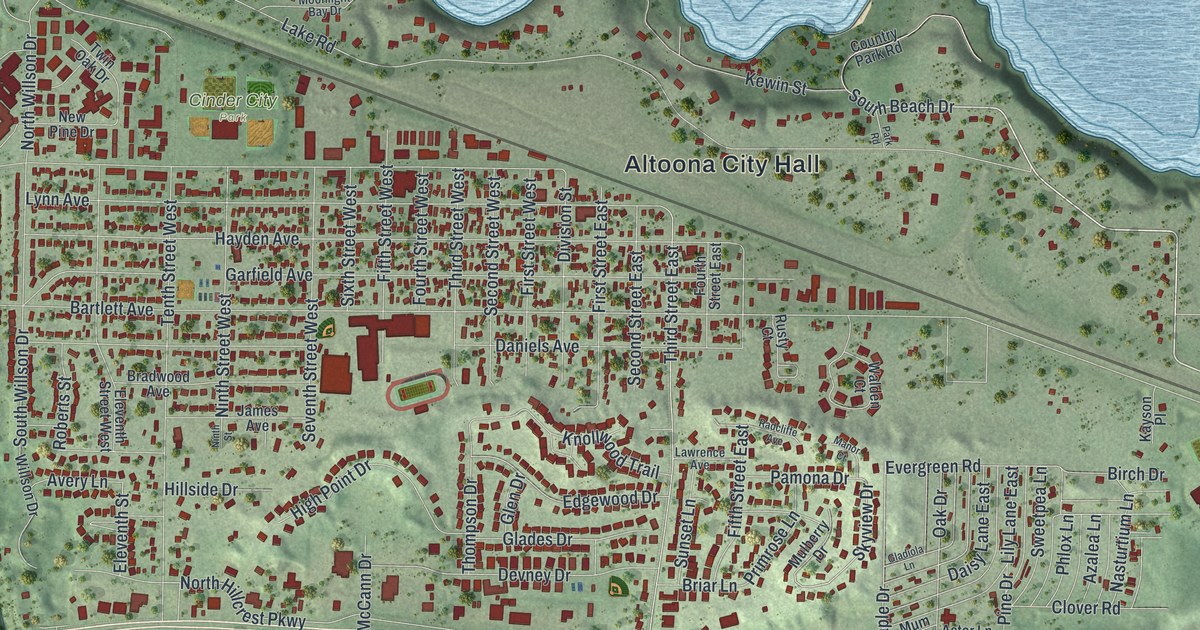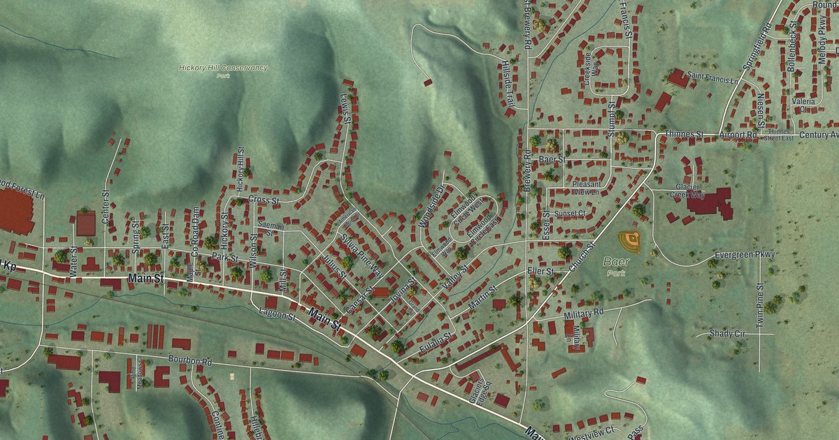
This beautifully detailed map of Cross Plains, Wisconsin was created in 2026 using aerial imagery combined with modern topographical, census, street and landmark data. It's a modern aerial view of Cross Plains in Dane County, Wisconsin, that combines modern data with a vintage aesthetic. The roads feature printed names, and if you look closely you can find your exact house accurately shown in its correct location.
Explore an aerial view of Cross Plains, Wisconsin
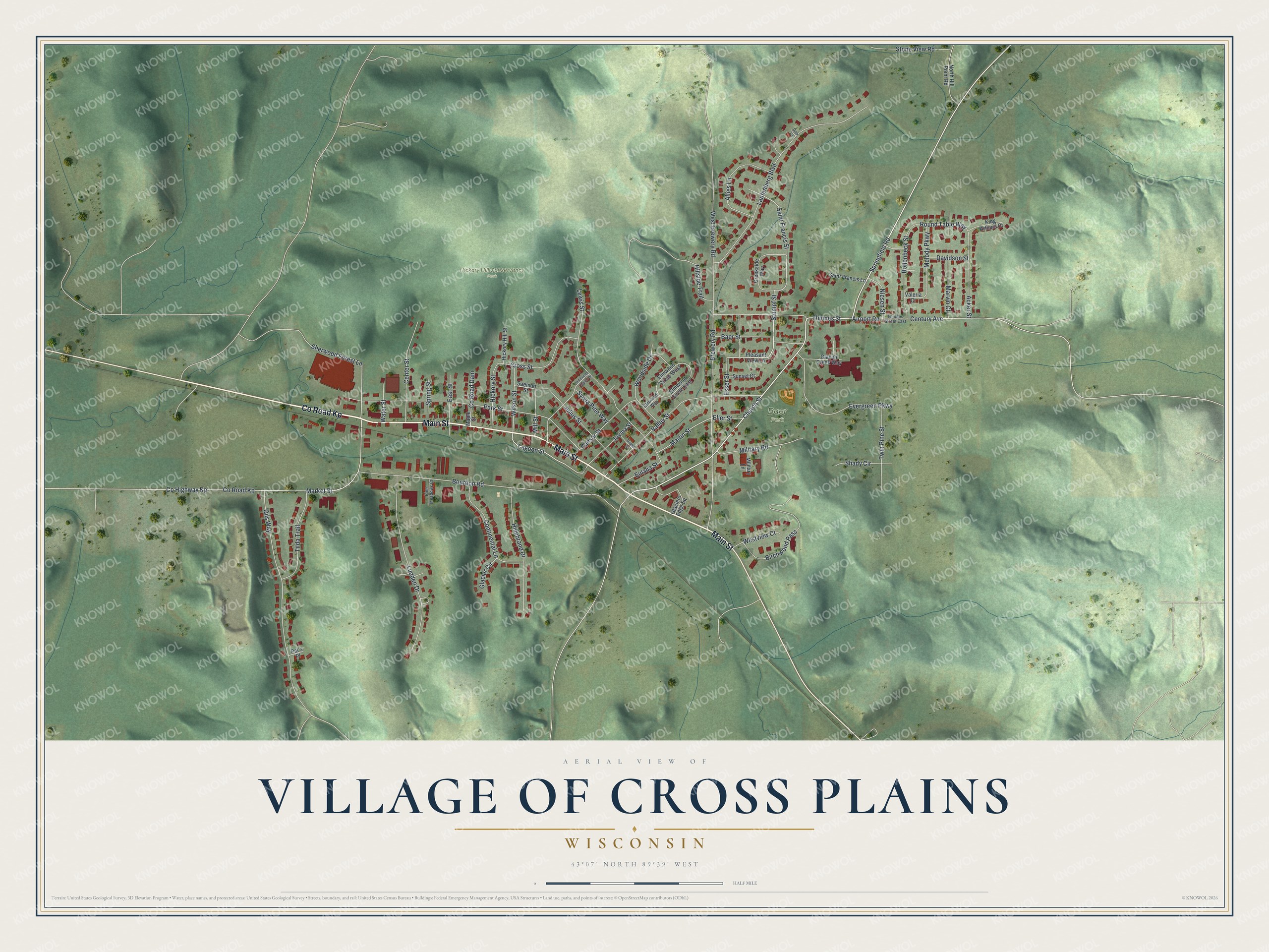
On this map you'll find Baer Park, Hickory Hill Conservancy Park, Co Road Kp, Main Street, Church Street, Stumpf Street, Market Street, Saint Francis Street, Lagoon Street, Martin Street, Round Table Way, Co Highway Kp, and more. Each red shape is a building, so zoom in on the preview and look for yours.
Cross Plains is a village in Dane County. The Census Bureau counted 4,104 people here in 2020. The map prints the town name in its title panel, with the coordinates below it.
Take a closer look at the Cross Plains map
Names on this map
These names are printed on this map.
Places: Baer Park and Hickory Hill Conservancy Park.
Streets and roads: County Road Kp, Main Street, Church Street, Stumpf Street, Market Street, Saint Francis Street, Lagoon Street, Martin Street, Round Table Way, County Highway Kp, Brewery Road, Bourbon Road.
More street names, A to Z
Acker Street, Airport Road, Allies Lane, American Legion Drive, Baer Street, Birchwood Pass, Bollenbeck Street, Caesar Street, Center Street, Century Avenue, Continental Lane, County Road Dam, Creekside Way, Cross Street, Dale Court, Davidson Street, East Street, Eller Street, Elmwood Circle East, Elmwood Circle West, Elmwood Way, Esser Street, Eulalia Street, Evergreen Parkway, Gils Way, Glacier Circle, Glacier Creek Way, Glaciers Edge Square, Grand Street, Hickory Hill Street, Hickory Street, Hillebrand Drive, Hillside Trail, Jovina Street, Julius Street, King Arthurs Court, Laufenberg Boulevard, Lewis Street, Ludden Drive, Maple Street, Marvin Court, Melody Parkway, Military Lane, Military Road, Mill Street, Niesen Street, North Hill Point Road, Park Street, Pat's Place, Pine Meadows Court, Pleasant View Lane, Saeman Street, Saint Francis Lane, Shady Circle, Sherwood Forest Lane, Springfield Road, Spring Street, Stone View Road, Sunset Court, Sylvia Pine Way, Thinnes Street, Thinnes Street East, Tilda Trail, Twin Pine Street, Valeria Court, Valley Street, Water Street, West Brewery Road, Westview Court, Wilson Street, Woodside Drive.
Created by KNOWOL in 2026. The buildings are small red shapes, the roads carry their printed names, and shaded relief shows the shape of the land. The title panel reads "AERIAL VIEW OF VILLAGE OF CROSS PLAINS, WISCONSIN" with 43°07' NORTH 89°39' WEST.
Hang it in the hallway, the office or the cabin, or give it to someone who left Cross Plains and still calls it home. Open the preview and look for a street you know. See sizes and frames for the Cross Plains map.